Velodyne Lidar sensors power Emesent autonomous Drone 3d Hovermap
Velodyne Lidar, Inc. today announced that Emesent’s newly introduced Autonomy Level 2 (AL2) technology for Hovermap uses Velodyne lidar sensors to provide real-time perception and high-quality, accurate 3D data.
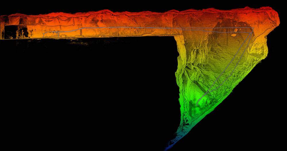
Hovermap is a plug-and-play mapping and autonomy payload for industrial drones that enables autonomous flight in areas beyond visual line of sight (BVLOS) and without GPS connectivity.
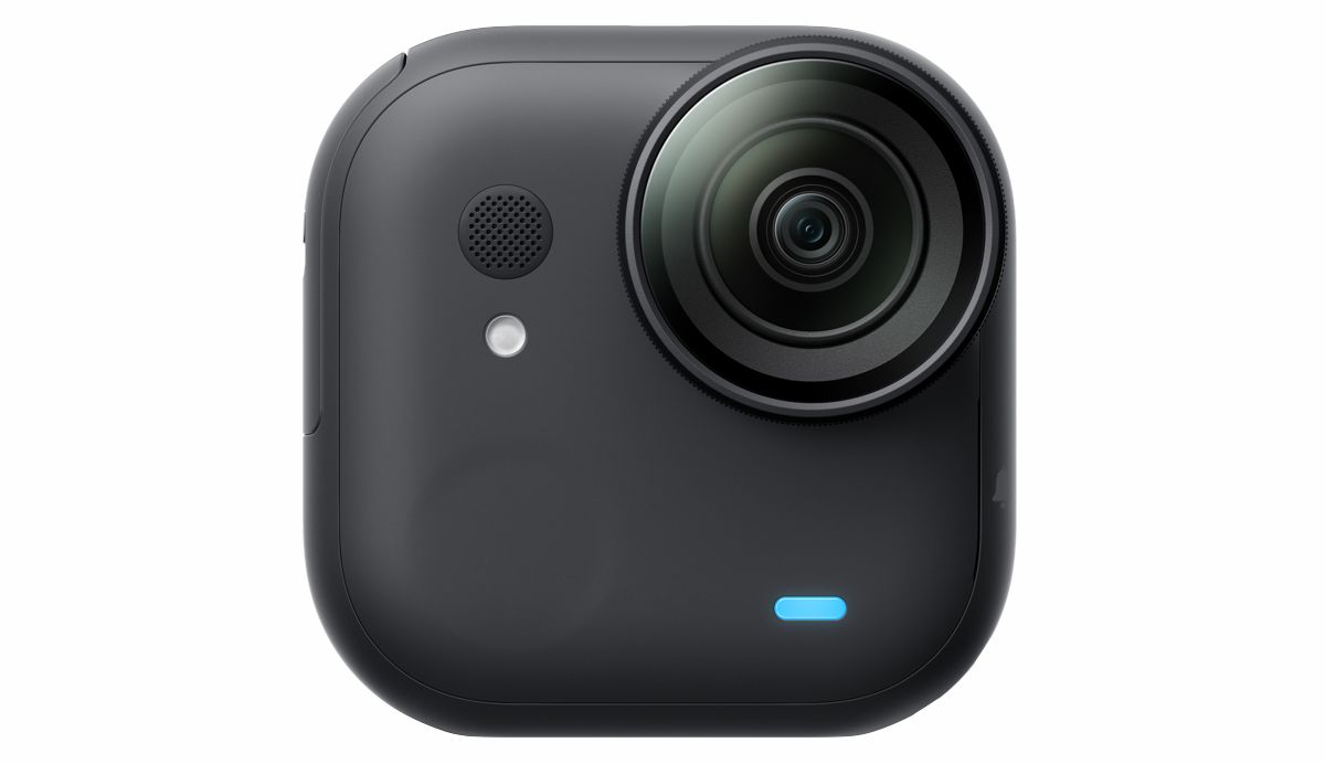
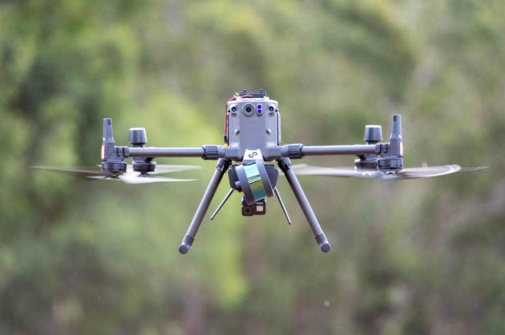
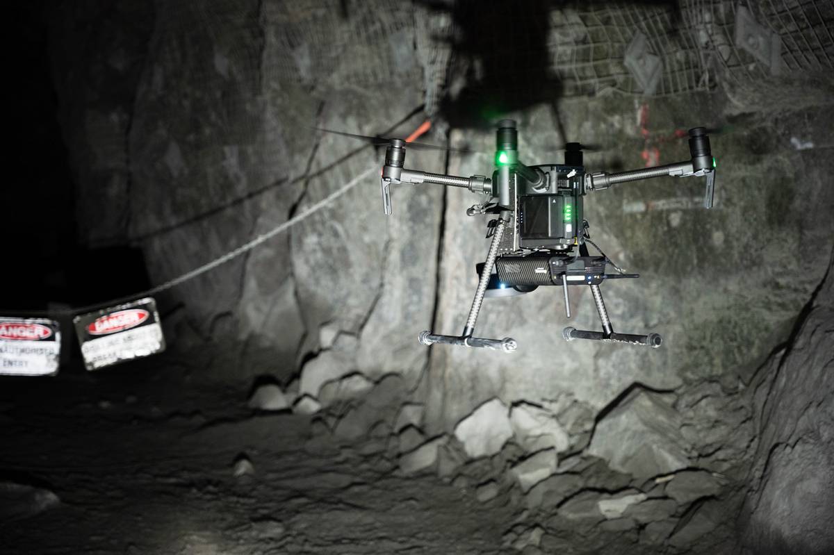
The AL2 technology uses Velodyne’s Puck LITE lidar as the primary perception and mapping sensor. This allows autonomous exploration, navigation and lidar mapping in challenging inaccessible environments such as mines, civil construction works, telecommunications infrastructure and disaster response environments. As part of Emesent’s simultaneous localization and mapping (SLAM) based autonomy stack, AL2 powers drones to fly beyond communications range, self-navigate and avoid obstacles including thin wires and branches.
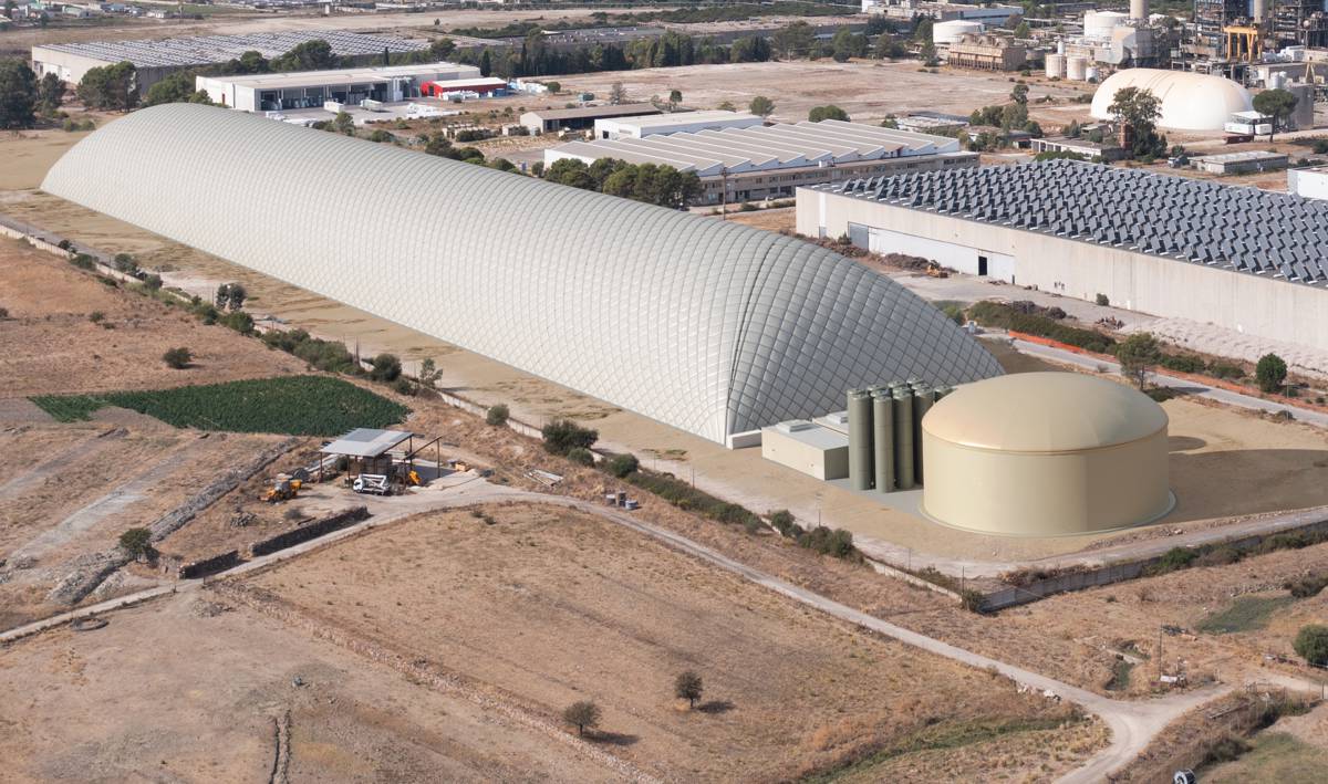
AL2 can be operated from take-off to landing by setting smart waypoints in a live 3D map streamed to a tablet. This allows operators to remain a safe distance from hazardous environments such as brows, stope edges, confined spaces and heights. The rich data from the Puck LITE sensor enables companies to gain better data insights on how to make mines and other environments safe.
“The Velodyne Puck LITE is simply a sensational sensor for creating drone-based mapping and autonomy solutions because of its compact size, light weight and performance – all critical for drone-mounted systems,” said Dr. Stefan Hrabar, Emesent CEO. “The sensor was an essential ingredient in helping us to create game-changing new technology that can obtain vital data in challenging environments in real time without risking the machine or operator safety.”
Emesent is an Automated with Velodyne partner at the forefront of GPS-denied drone autonomy. The company recently placed fourth in the urban circuit of the DARPA Subterranean (“SubT”) Challenge together with the Robotics and Autonomous Systems Group at the Commonwealth Scientific and Industrial Research Organization (CSIRO) and Georgia Institute of Technology.
“Emesent’s innovative use of Velodyne’s lidar sensors is helping to deliver valuable data and insights that were previously impossible to access,” said Jon Barad, Vice President of Business Development, Velodyne Lidar. “In addition to what they provide today to the mining, infrastructure, survey and mapping industries, it is exciting to consider how this innovation will help usher in a new era of autonomous drone operation across a variety of other industries.”
In the United States, the Federal Aviation Administration (FAA) currently has restrictions on drones flying beyond the visual line of sight. Emesent’s technology innovation could potentially usher in a new era of safe, autonomous drone flight – not only in mines but everywhere.
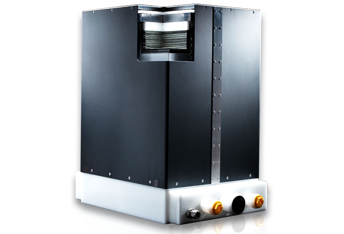
Velodyne Puck LITE sensors deliver a high-resolution image to measure and analyse indoor and outdoor environments. Designed for applications that require a sensor with a low weight and compact size, the Puck LITE delivers outstanding resolution and performance for mobile and UAV/drone applications. It provides a full 360-degree environmental view to deliver real-time 3D data.