Esri releases guides for Location Analytics and Improving Map Aesthetics

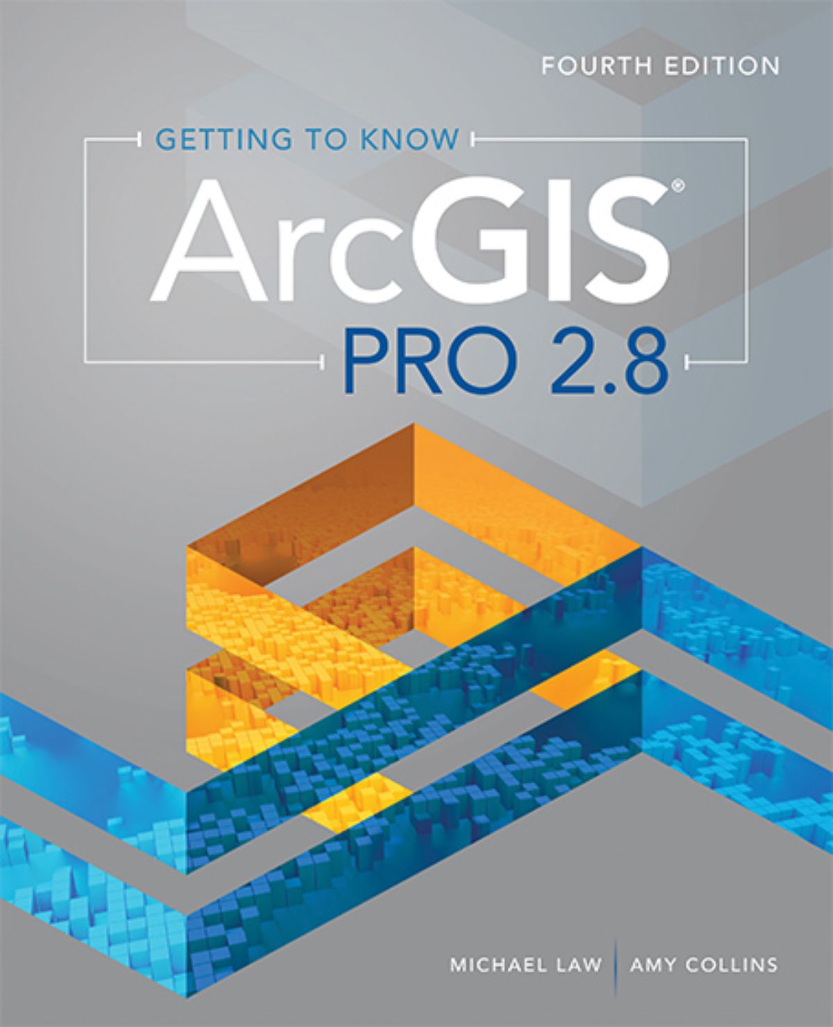
Getting to Know ArcGIS Pro 2.8
It’s never been easier to get data, but for many organizations it is still challenging to make sense of all of it. Putting data on a map is a start.
Mapping data in order to understand it, find patterns and hidden relationships, and answer questions can be the key to improving operational efficiency and increasing profit. For example, a retailer can find out where to locate new customers and grow sales. A utility can identify equipment that might fail before that can happen. A fire department can choose the perfect location for a new station to respond to future emergencies.
More and more employers have integrated location analytics into their operations. In Getting to Know ArcGIS Pro 2.8, the new book from Esri, the global leader in location intelligence, readers gain crucial skills in location analytics and the technology that makes it possible. It’s a learning guide for the software used by most businesses, government agencies, and non-profit organizations worldwide—ArcGIS Pro.
The book is ideal for students, self-learners, and professionals who want to learn the premier GIS desktop application, with no prior GIS software knowledge needed. Even if readers haven’t heard of GIS until recently or have zero experience with the software, they can finish with the confidence to use ArcGIS Pro on their own.
A desk reference with a nine-page glossary and an extensive task index, Getting to Know ArcGIS Pro 2.8 is more than a textbook—it’s a tool in and of itself that readers can use and refer to again and again.

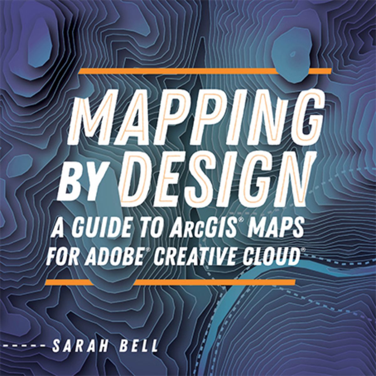
Mapping by Design: A Guide to ArcGIS Maps for Adobe Creative Cloud
Maps offer inherently visual ways to tell stories about information and geography. As such, they have unlimited potential to draw their audience in if they are well-designed in terms of aesthetics. That is why Esri, the global leader in location intelligence, is publishing Mapping by Design: A Guide to ArcGIS Maps for Adobe Creative Cloud.
Cartographers and designers alike can benefit from creating visual and geospatial stories that blend map science and map design. Mapping by Design: A Guide to ArcGIS Maps for Adobe Creative Cloud is the guidebook for making effective maps using ArcGIS Maps for Adobe Creative Cloud, the mapping extension that connects Adobe Illustrator to the power of ArcGIS, Esri’s geospatial software suite.
Readers learn how to create compelling visual stories with maps following comprehensive tutorials designed to navigate them through common mapmaking workflows. Lessons also cover the user interface components of Maps for Adobe Creative Cloud, common workflows for creating maps, ways to perform custom geoanalyses, and the use of automated custom symbology and map elements.
By connecting Illustrator to ArcGIS Online, Esri’s Adobe extension gives designers the power to create maps by providing easy access to authoritative digital maps and map layers. In Maps for Adobe Creative Cloud, this seamless connection means that users can add these digital map layers; perform many map enhancements and geoanalytical functions; and then download maps as well-organized, ready-to-design files in Illustrator. Further, Maps for Adobe Creative Cloud allows ArcGIS Pro users to open their maps and layouts in Illustrator and continue adding and analysing map data and layers.


