Esri and Digital Earth Africa partner to support Sustainable Growth
Climate change is compounding risks of food insecurity, displacement, and natural disasters across broad regions of the African continent, with vulnerable populations facing especially grave outcomes.
However, several countries in Africa are already innovating and driving the next big tech sector boom, with companies creating solutions to close social and economic gaps. To support local organizations that use data sciences to address these challenges, Esri—the global leader in location intelligence—has entered into a memorandum of understanding (MOU) with Digital Earth Africa.
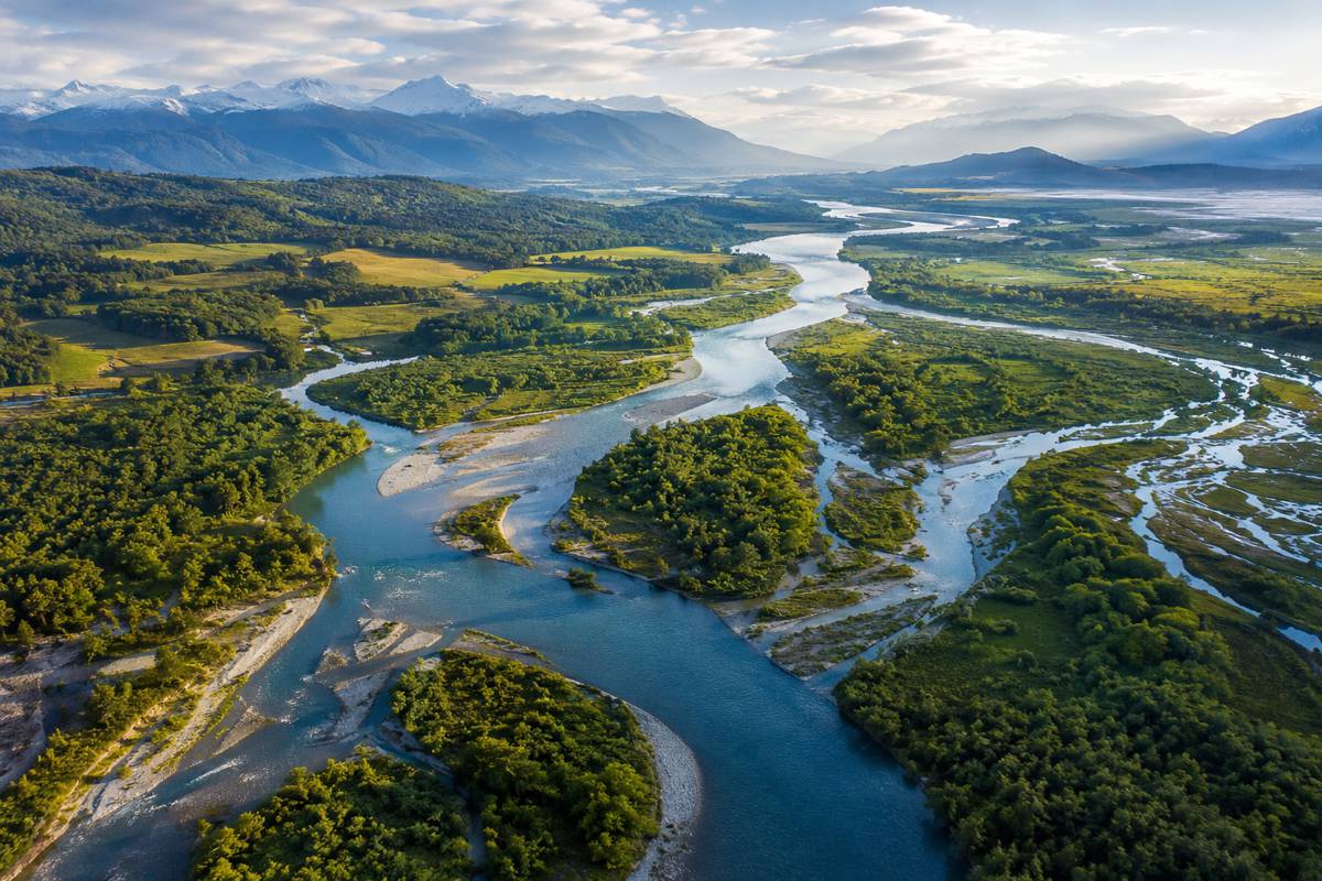
Intended to encourage and support sustainability in governance and commerce, this partnership will create and launch technology solutions based on free, open-source satellite images and other forms of earth observation data. Using Esri’s geographic information system (GIS) software, African organizations will be able to analyse imagery data to discover patterns and predict future outcomes. This rich content will be accessible via the Africa GeoPortal, a comprehensive cloud-based platform that provides geographic data and imagery for Africa as well as solutions from Esri and its partners.
“We are proud to partner with Digital Earth Africa to make usable earth observation data more accessible,” said Jack Dangermond, Esri founder and president. “This agreement supports the important work for sustainable growth that is taking place across the continent.”
Once collected, satellite imagery must be processed so that it meets the standards of consistency and accuracy that are required for scientific investigation. Digital Earth Africa makes this data ready for analysis for the whole continent. GIS provides the tools and capabilities to create maps, apps, and more, easily turning these images into actionable data.
“We are producing decision-ready products with earth observation data,” said Dr. Thembi Xaba, Digital Earth Africa’s managing director. “Our platform and services enable African governments, industry, and decision-makers to track changes across the continent to equip users to better plan for the future.”
The partnership between Esri and Digital Earth Africa will make accessible four decades of imagery. The goal is to help create understanding and awareness of short- and long-term risk from flooding, drought, and soil and coastal erosion. The imagery and data layers can be used to monitor agriculture, forest cover, land masses, water availability and quality, and variations within human settlements.
All of this is accessible through the Africa GeoPortal with preconfigured apps and advanced tools for new and experienced users. Esri’s ArcGIS Online software, made available through the partnership, will help eliminate common barriers, such as cost and the need for technical skill, to accessing valuable earth observation data. As a community GIS platform, the Africa GeoPortal increases the discoverability and usage of content such as that from Digital Earth Africa through tools, data, and learning.
To learn more about how Esri and Digital Earth Africa are helping organizations on the continent access rich imagery data to overcome local challenges, visit deafrica.africageoportal.com.