Reimagining Cities in 3D with Geo-SETRA
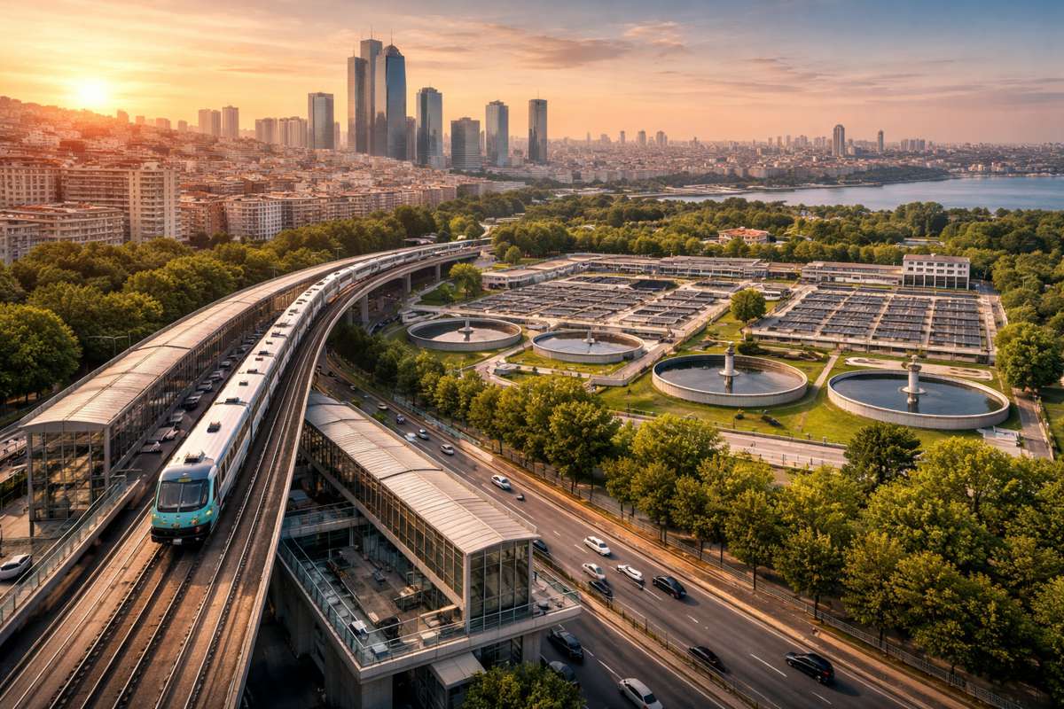
Modern cities are a maze of high-rises, tight alleyways, and oddly shaped rooftops—a visual playground for drones and satellites, but a headache for traditional remote sensing systems. The reality? Most Tomographic Synthetic Aperture Radar (TomoSAR) technologies still fall short when trying to paint a truly accurate 3D picture of dense urban environments. They stumble over resolution issues, misinterpret overlapping signals, and often fumble complex geometry. What’s worse, post-processing methods frequently trade structural nuance for superficial clarity, and the rigid constraints applied during reconstruction only end up hiding the very details we want to preserve.
But a team of researchers at the Suzhou Key Laboratory and the Chinese Academy of Sciences has taken a bold step toward changing that narrative. In June 2025, they published a ground-breaking study in the Journal of Remote Sensing outlining a smarter SAR imaging method. Dubbed Geo-SETRA (Geometric Semantic Enhanced TomoSAR Reconstruction Algorithm), the approach fuses the precision of radar with the structural awareness of computer vision, creating a far richer and more faithful model of our urban sprawl.
From Radar Echoes to Real-World Geometry
At the core of Geo-SETRA is a Bayesian model that cleverly integrates geometric semantics as prior knowledge into the radar signal reconstruction process. Instead of working blind, the algorithm leans on what it already “knows” about the built environment—planes, lines, and spatial patterns that define urban architecture.
Here’s how it works:
- A traditional OMP (Orthogonal Matching Pursuit) algorithm kicks things off by generating an initial 3D point cloud from SAR Single Look Complex (SLC) data.
- From this cloud, high-confidence points are sifted out to form what the researchers call a “characteristic point cloud.”
- Using tools like RANSAC, the system extracts geometric features from this dataset—think rooftops, facades, and building edges.
- These structures are then mapped back to the 2D SAR image plane, essentially layering contextual intelligence over raw data.
- The algorithm then uses a MAP (Maximum A Posteriori) framework to fuse visual priors and radar signals, guided by a regularisation parameter (λ) that balances realism with data fidelity.
A custom Grid Coordinate Descent algorithm steps in to solve the resulting optimisation problem quickly and efficiently, bypassing the computational drain of a full grid search.
Elevating Urban Imaging to New Heights
Geo-SETRA’s performance doesn’t just sound good on paper. The results speak for themselves. On both synthetic datasets and real-world UAV-borne SAR data from the MV3DSAR platform over Suzhou, the algorithm delivered sub-metre elevation accuracy—as precise as 0.5 m. It held its own even when signal-to-noise ratios dipped, showcasing resilience under conditions that typically rattle conventional systems.
Compared to traditional OMP and hard-constraint reconstruction methods, Geo-SETRA achieved:
- Higher point cloud density (retaining more than 80% of structural data)
- Improved scattering consistency
- Better visual completeness, capturing intricate architectural features such as balconies, window frames, and rooftop contours
Lead researcher Dr. Chunyi Wang summed it up neatly: “Our approach represents a new synergy between geometric modelling and SAR imaging. By allowing visual semantics to guide radar-based reconstruction, we significantly enhance detail and completeness without compromising efficiency. This could reshape how urban environments are monitored from the sky.”
Implications for Smart Cities and Crisis Management
The impact of Geo-SETRA goes far beyond cleaner images and academic accolades. As cities evolve into complex digital twins of themselves, the demand for detailed, real-time 3D models is growing fast. Geo-SETRA is poised to become a core technology for smart city infrastructure, urban planning, and post-disaster response.
High-fidelity 3D reconstructions have wide-ranging applications:
- Infrastructure surveillance: Monitor bridge deformation, building subsidence, or tunnel misalignment without costly site visits.
- Emergency response: Map earthquake or flood-impacted zones in real-time, directing resources more effectively.
- Urban modelling: Feed accurate data into simulation tools to forecast traffic, pollution, or energy consumption.
- Telecom planning: Optimise 5G tower placement by understanding line-of-sight obstructions.
Geo-SETRA’s compatibility with multi-sensor fusion technologies such as LiDAR and optical imagery is another string in its bow, offering a collaborative approach to urban observation.
What Sets Geo-SETRA Apart?
It’s not just what Geo-SETRA does, but how it does it. Most SAR algorithms struggle to resolve multipath effects and overlapping scatterers in tight urban environments. This algorithm embraces those challenges head-on by introducing semantic understanding right at the reconstruction stage.
By translating visual structures into statistical priors (in this case, Gaussian distributions), Geo-SETRA doesn’t just interpret data—it understands context. This approach allows for smarter filtering of noisy data, better handling of ambiguous signals, and ultimately, richer reconstructions.
Moreover, it trims the fat when it comes to computing power. Traditional full-grid search methods for MAP estimation are notoriously time-consuming. Geo-SETRA’s Grid Coordinate Descent method cuts that process down significantly without sacrificing quality.
Building on a Solid Foundation
The research received support from the National Natural Science Foundation of China under grant numbers 61991421, 61991424, and 61991420, reflecting strong institutional backing. The Journal of Remote Sensing, where the study was published, continues to be a critical platform for disseminating cutting-edge work in Earth observation, environmental modelling, and geospatial technologies.
Geo-SETRA’s creators are already looking ahead. Future enhancements might see the algorithm adapted for use with satellite-borne SAR platforms, expanding its reach from cities like Suzhou to metropolises across the globe. There’s also scope for integrating AI-driven adaptive capabilities that could automatically adjust priors in response to complex or irregular geometries.
A New Era for Urban Remote Sensing
With urban populations swelling and infrastructure stress hitting new peaks, city planners and engineers need tools that go beyond the superficial. Geo-SETRA delivers just that—a richer, smarter, and more scalable way to see cities from above.
“We’re not just making pictures clearer,” said Dr. Wang. “We’re making urban insight sharper, faster, and infinitely more usable.”
If the path forward involves reshaping how we model the world, then Geo-SETRA is already laying the first few bricks.


