Esri’s New Book Outlines Geospatial Intelligence for Safer and Fairer Outcomes
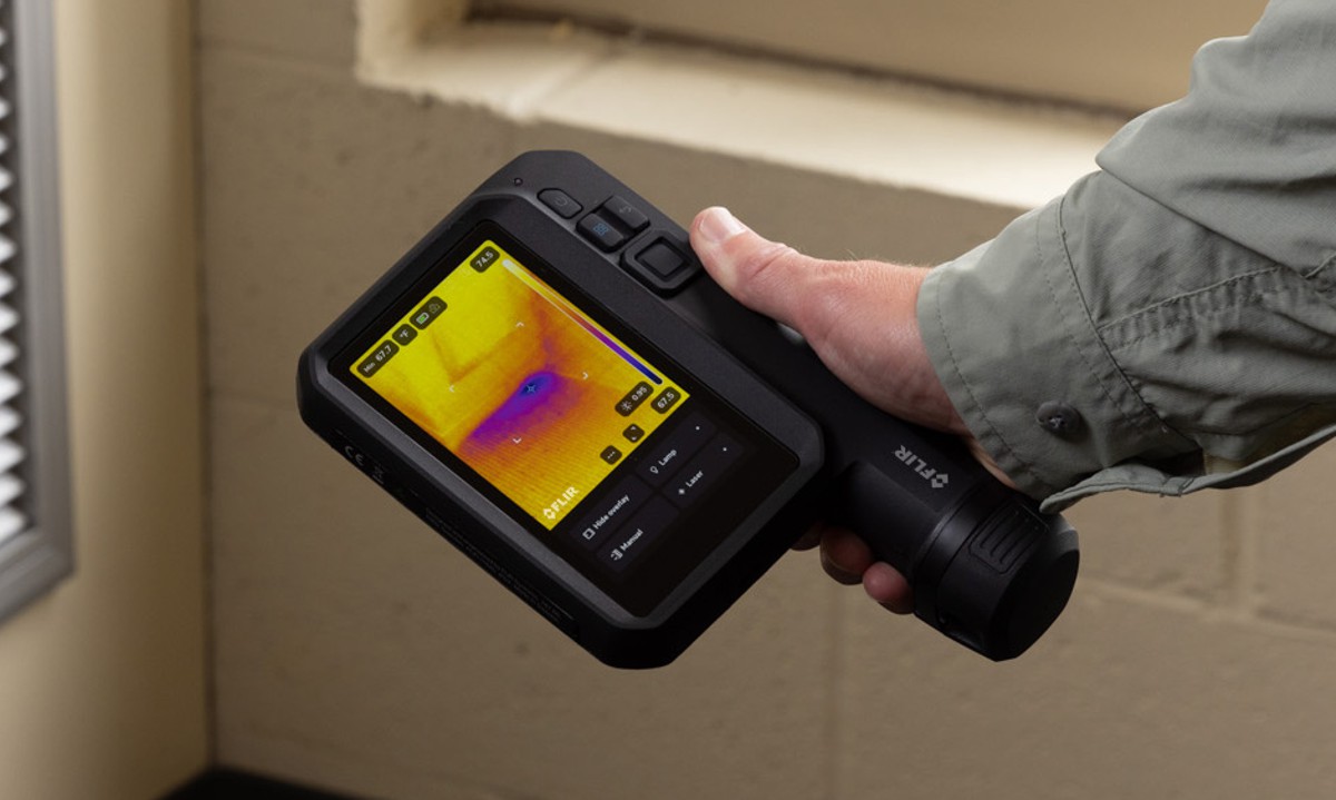
Location has always mattered. What has changed is the precision, accessibility and analytical power now available to interpret it. As climate pressures intensify, conflicts evolve and urban populations expand into vulnerable areas, geospatial intelligence has moved from a specialist discipline to a core capability for governments, humanitarian organisations and infrastructure planners alike. The ability to visualise risk, detect patterns and act on spatial evidence increasingly shapes decisions that affect lives, livelihoods and long term resilience.
Against that backdrop, Security First: Geospatial Workflows for a Safe and Equitable World arrives at a timely moment. Published by Esri, the book sets out to bridge theory and practice by showing how geographic information systems can be applied directly to human security challenges. Rather than dwelling on abstract concepts, it focuses squarely on how geospatial tools can be used to understand real world threats and inequalities.
A Practical Workbook For Human Security
Security First is not positioned as a conventional academic text. Instead, it is structured as a hands on workbook that walks readers through practical workflows designed to build both technical competence and analytical judgement. Across 20 detailed geospatial workflows, the book explores how spatial data can be transformed into actionable insight across a range of safety and security contexts.
The scope is deliberately broad. Topics include documenting human rights violations, assessing vulnerability to flooding, quantifying land use and land cover change, monitoring environmental justice, and supporting emergency response and disaster management. Each theme reflects areas where geospatial intelligence already plays a decisive role and where demand for skilled practitioners continues to grow.
Addressing Human Rights And Environmental Risk
One of the book’s most compelling strengths lies in its treatment of human rights and environmental justice. Mapping violations, displacement or unequal exposure to environmental hazards requires more than technical skill. It demands sensitivity to data sources, ethical considerations and the social contexts behind the numbers.
Security First demonstrates how GIS can be used to document patterns of harm while maintaining analytical rigour. By combining spatial datasets with contextual analysis, readers learn how maps can reveal systemic inequalities that might otherwise remain obscured. In environmental justice workflows, for example, spatial analysis highlights how pollution, flood risk or inadequate infrastructure often correlates with socio economic disadvantage.
Flooding, Climate And Land Use Change
Climate related risk features prominently throughout the book, reflecting its growing relevance to infrastructure planning and public safety. Flood vulnerability assessments show how elevation models, hydrological data and land use information can be integrated to identify communities most at risk. These workflows mirror the methods increasingly used by planners, insurers and emergency agencies worldwide.
Land use and land cover change analysis adds another critical dimension. As urban expansion, deforestation and agricultural intensification reshape landscapes, GIS provides the means to track these changes over time. Security First walks readers through techniques for quantifying change and understanding its implications for food security, biodiversity and hazard exposure.
Emergency Response And Disaster Management
Few areas illustrate the value of geospatial intelligence more clearly than emergency response. When disasters strike, decisions must be made quickly and often with incomplete information. The book’s disaster management workflows show how GIS supports situational awareness, resource allocation and post event assessment.
By working through realistic scenarios, readers gain insight into how spatial analysis underpins evacuation planning, damage assessment and recovery prioritisation. These are not hypothetical exercises but workflows closely aligned with practices used by civil protection agencies and humanitarian responders.
Structured Learning With Real Tools
Each chapter in Security First follows a consistent and carefully considered structure. Learning objectives set expectations from the outset, while technical requirements and prerequisite knowledge ensure readers understand what is needed before starting. The core of each chapter is a geospatial workflow that guides users step by step through analysis and interpretation.
Crucially, all exercises use ArcGIS software alongside downloadable datasets. This approach reinforces practical skills and mirrors the environments readers are likely to encounter in professional settings. Analysis sections encourage reflection on results, while additional resources point readers towards further study and real world applications.
A Crowdsourced Academic Collaboration
Security First is notable for being the first crowdsourced workbook in the field of human security and geospatial intelligence. It is written by Darren Martin Ruddell and Dianna Ter Ghazaryan, professors at the University of Southern California Spatial Sciences Institute, with contributions and edits from other academics engaged in teaching and research in this emerging discipline.
This collaborative approach brings diversity of perspective and practical experience into the text. It also reflects the interdisciplinary nature of human security itself, which spans geography, political science, environmental studies and data science. The result is a resource that feels grounded in both academic credibility and applied relevance.
Designed For Education And Practice
The intended audience for Security First is broad but clearly defined. Professors can integrate the workflows into curricula focused on security studies, geography or spatial analysis. Students gain a structured pathway to develop marketable technical skills alongside critical thinking.
Professionals working in government, consulting, humanitarian response or infrastructure planning will also find value in the book’s applied focus. The workflows provide a framework that can be adapted to local datasets and operational needs, making the book as useful in practice as it is in the classroom.
Availability And Publishing Details
Security First is available in both paperback and digital formats, ensuring accessibility across different learning environments.
The paperback edition is priced at US$89.99. The ebook edition is also priced at US$89.99.
Esri And The Broader Geospatial Ecosystem
The publication of Security First sits within a wider commitment by Esri to advancing geospatial literacy and capability. Founded in 1969 in Redlands, California, Esri has grown into the global market leader in GIS software, location intelligence and mapping. Its technology is deployed across hundreds of thousands of organisations, from Fortune 500 companies and government agencies to universities and non profit institutions.
With regional offices, distributors and partners in more than 100 countries, Esri supports a global ecosystem of users applying geographic thinking to complex challenges. The company’s emphasis on placing data in its spatial context continues to shape how organisations understand risk, plan infrastructure and pursue more equitable outcomes.
Building Capability For A Safer Future
Security First ultimately makes a clear case for geospatial intelligence as a foundational skill in addressing modern security challenges. By combining rigorous workflows with accessible instruction, it lowers barriers to entry while maintaining analytical depth.
For those seeking to understand how location based analysis informs safer, fairer decision making, the book provides both a practical toolkit and a broader perspective on the power of geography.