04 April 2026

Your Leading International Construction and Infrastructure News Platform
Header Banner – Finance

Esri

Esri is a unique software powerhouse that emphasises a geographic approach to decision-making across nearly every sector of the global economy.

Geographic Information Systems (GIS) / IT Software & Services 96 articles

Company Overview

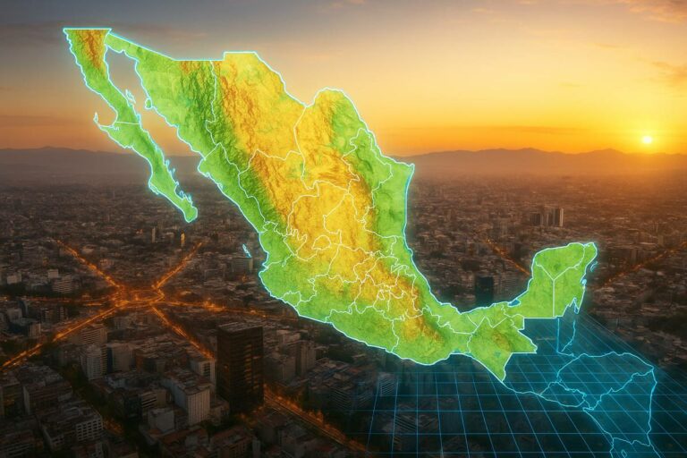
Esri is the global market leader in geographic information system (GIS) software, location intelligence, and mapping. Founded with a mission to combine human development with environmental stewardship, the company pioneered the digital mapping industry and remains its primary innovator.

Its flagship platform, ArcGIS, is used by hundreds of thousands of organizations to solve complex problems by placing data in the crucial context of location—from tracking global climate change to optimizing local emergency response.

Company Dashboard

www.esri.com @ info@esri.com +1-909-793-2853 380 New York Street, Redlands, California 92373, USA
Industry Geographic Information Systems (GIS) / IT Software & Services
HQ Country United StatesFounded 1969
Regions Americas, Asia, Europe
Company Stats Employees: 6,000+Turnover: US$1.5 b
CEO Jack Dangermond
Stock Listing -Ticker: -
Ownership Privately held
Coverage 96 articles

Corporate Information

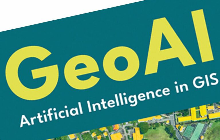
Esri operates a global network of 49 offices and 11 research and development centers, supported by 80+ international distributors. The company maintains a unique culture where employees are often paid hourly and 20% of profits are redistributed to the workforce. In 2026, the company continues to push "GeoSpatial AI" through the ArcGIS Pro AI Assistant and integrations with modern data science tools like ArcGIS Notebooks.

Economic Analysis

Esri holds a dominant 40% to 45% share of the global GIS market. Its economic strength is derived from a massive "lock-in" effect: by providing its software for free to over 12,000 universities, it ensures that successive generations of professionals are trained exclusively on Esri tools. While it generates $1.3B+ in direct revenue, its broader partner ecosystem is estimated to generate $28 billion USD in related services and solutions, illustrating its role as a foundational infrastructure for the modern digital economy.

Products & Services

The core of Esri’s offering is the ArcGIS ecosystem, which includes ArcGIS Pro (desktop GIS), ArcGIS Online (SaaS mapping), and ArcGIS Enterprise (server-based GIS). The company provides specialized tools like ArcGIS StoryMaps for narrative mapping, ArcGIS QuickCapture for field data collection, and the iTwin integration for digital twins. Services include the ArcGIS Living Atlas of the World—the foremost collection of global geographic information—along with professional consulting, training, and managed cloud services.

Coverage on Highways.Today

Esri and RoboGarden Expand Global Geospatial Education
Esri and RoboGarden Expand Global Geospatial Education 2nd April 2026 Esri and RoboGarden Expand Global Geospatial Education The global infrastructure sector is undergoing a quiet but profound transformation....
Esri Expands GIS Knowledge Access Through Direct Ebook Distribution
Esri Expands GIS Knowledge Access Through Direct Ebook Distribution 27th February 2026 Esri Expands GIS Knowledge Access Through Direct Ebook Distribution Across construction, transport and infrastructure, software skills have quietly...
From Trenches to Digital Twins as Field Reality Capture Enters the Enterprise GIS
From Trenches to Digital Twins as Field Reality Capture Enters the Enterprise GIS 18th February 2026 From Trenches to Digital Twins as Field Reality Capture Enters the Enterprise GIS Across the global infrastructure sector,...
Esri Achieves ISO 27001 Certification for Infrastructure Data Security
Esri Achieves ISO 27001 Certification for Infrastructure Data Security 30th January 2026 Esri Achieves ISO 27001 Certification for Infrastructure Data Security For governments, transport agencies and construction leaders managing critical...
Automating Nautical Charts and Maritime Safety Digital Workflows
Automating Nautical Charts and Maritime Safety Digital Workflows 14th January 2026 Automating Nautical Charts and Maritime Safety Digital Workflows The quiet digitisation of maritime chart production rarely makes headlines,...
Esri Charting the Future with ArcGIS Maritime for Hydrographic Intelligence
Esri Charting the Future with ArcGIS Maritime for Hydrographic Intelligence 18th October 2025 Esri Charting the Future with ArcGIS Maritime for Hydrographic Intelligence Esri, the global leader in geographic information system...
Esri’s New Book Unlocks the Power of Artificial Intelligence in GIS
Esri’s New Book Unlocks the Power of Artificial Intelligence in GIS 30th September 2025 Esri’s New Book Unlocks the Power of Artificial Intelligence in GIS Esri, a global leader in geographic information...
Esri MX Launches as Mexico’s New Geospatial Innovation Hub
Esri MX Launches as Mexico’s New Geospatial Innovation Hub 5th September 2025 Esri MX Launches as Mexico’s New Geospatial Innovation Hub Esri, the global leader in location intelligence, has unveiled...

View all 96 articles on Esri