Bentley Systems teams up with Google to Transform Infrastructure with Geospatial Technology The world of ...
-
Bentley Systems teams up with Google to Transform Infrastructure with Geospatial Technology

Bentley Systems teams up with Google to Transform Infrastructure with Geospatial Technology
-
Bentley Systems acquires Cesium to transform 3D Geospatial Technology

Bentley Systems acquires Cesium to transform 3D Geospatial Technology
-
SAM strengthens Geospatial Leadership with CSTi Acquisition

SAM strengthens Geospatial Leadership with CSTi Acquisition
-
Esri releases new books on Geospatial, Mapping and GIS Python Technologies

Esri releases new books on Geospatial, Mapping and GIS Python Technologies
-
Using GIS to make Highways Safer and tackle Truck Blow-Over Crashes

Using GIS to make Highways Safer and tackle Truck Blow-Over Crashes
-
Celebrating Mapping and 25 years of GIS Day

Celebrating Mapping and 25 years of GIS Day
-
East Asian Mapping Project Illuminates 280 Million Buildings

East Asian Mapping Project Illuminates 280 Million Buildings
-
Esri announces new edition of ArcGIS Pro Book

Esri announces new edition of ArcGIS Pro Book
-
Revolutionising Spatial Analytics with Esri, Microsoft and IBM

Revolutionising Spatial Analytics with Esri, Microsoft and IBM
-
Ground-breaking Field Instrument enables Lava Flow Mapping

Ground-breaking Field Instrument enables Lava Flow Mapping
-
A Road Asset Lifecycle Management Long-Term Solution
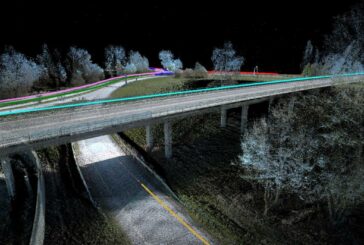
A Road Asset Lifecycle Management Long-Term Solution
-
Leica Geosystems unveils Leica TerrainMapper-3

Leica Geosystems unveils Leica TerrainMapper-3
-
Sanborn Map Company unveils Enhanced Image Analyst Application
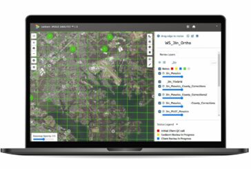
Sanborn Map Company unveils Enhanced Image Analyst Application
-
Maxar Intelligence wins Precision3D Data contract from NGA

Maxar Intelligence wins Precision3D Data contract from NGA
-
Large-scale Urban Building Function Mapping using web-based Geospatial Data

Large-scale Urban Building Function Mapping using web-based Geospatial Data
-
ArcGIS upgrades help to efficiently and securely build solutions

ArcGIS upgrades help to efficiently and securely build solutions
-
National Highways wins Esri Special Achievement in GIS Award

National Highways wins Esri Special Achievement in GIS Award
-
Winners of the Esri 2023 ArcGIS Online Competition announced

Winners of the Esri 2023 ArcGIS Online Competition announced
-
DDK Positioning in Scotland acquired by Topcon Positioning Systems

DDK Positioning in Scotland acquired by Topcon Positioning Systems
-
Esri joins Overture Maps Foundation to build Interoperable Open Map Data

Esri joins Overture Maps Foundation to build Interoperable Open Map Data


