Esri Federal Geospatial Data now available to anyone online
Esri, the global leader in location intelligence, today announced that in collaboration with federal agencies, it is opening up access to dozens of high-priority, high-demand national data layers, referred to by government users as National Geospatial Data Assets (NGDA).
This development is critical for decision-making in areas of national concern like infrastructure development and disaster response.
The information being made available includes cartographic boundary files and demographic data from the US Census Bureau; National Agriculture Imagery Program (NAIP) data from the US Department of Agriculture (USDA); and the National Inventory of Dams (NID) database, managed by the US Army Corps of Engineers.
“Now, more than ever, it is important for citizen scientists, the academic community, GIS professionals, and app developers alike to have access to authoritative sources of information for their work,” said Jack Dangermond, Esri founder and president. “Making this federal data public empowers a wider audience to address the most pressing current challenges such as climate change, disaster relief, broadband access, and racial equity.”
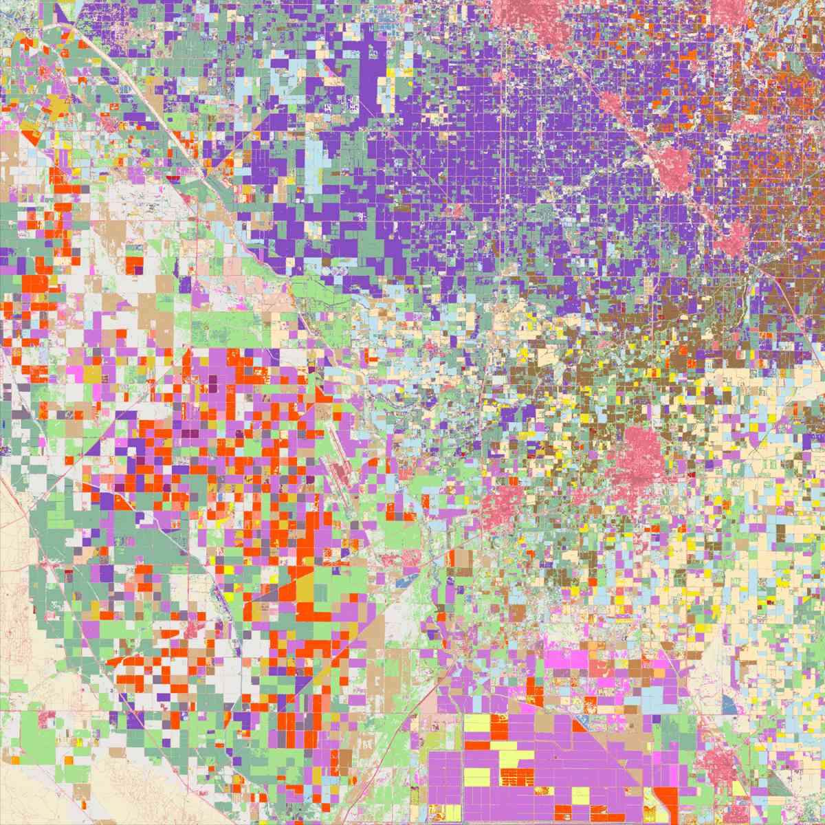
This new collection of federal maps and apps is now accessible via ArcGIS Online. It includes over 75 national geospatial datasets on dams, bridges, federal public lands, runways, rail nodes, and more, which are regularly updated from federal sources. Those seeking this data can simply access it on the web; an ArcGIS user license is not required. Available under the Creative Commons Attribution 4.0 International (CC BY 4.0) license, anyone can use, share, and adapt the data with proper attribution. For interoperable access, these datasets will also be available as both Esri REST services and Open Geospatial Consortium, Inc. (OGC), API Features. Esri will also be releasing the NGDA datasets through a custom explorer app on the launch page.
“We need to maximize the reach of geospatial data, and that means we should think of everyone as a decision-maker,” said Frank Winters, president of the National States Geographic Information Council and executive director of the New York State Geospatial Advisory Council. “When our data reaches thousands or millions of people—to help them decide where to live, buy property, go to school, or start a business—our impact can scale to a point where it moves the dial of our economy. Removing barriers to high-quality spatial data, time and again, results in people using data in ways I could never predict, making interesting and meaningful contributions to their communities.”
The wider availability of NGDA datasets will benefit the commercial sector as well. Large companies with assets and interests spread throughout the United States, from national retailers and insurance companies to railroads and utilities, need data that cuts across cities, states, and regions. Having high-quality national data on hand will save organizations the time and money required to gather and process them.
Esri’s initiative supports the broader vision of the Geospatial Data Act of 2018 (GDA), which seeks to empower more people to use geospatial data, and breaks down more barriers to interoperability. This is the second dataset this year the company has made available to the public that won’t require an ArcGIS license to access. In June, Esri released the first-ever high-resolution (10-meter), 2020 global land-cover map.
These open data services are provided through ArcGIS Living Atlas of the World, the foremost collection of geographic information from around the globe, including maps, apps, and data layers. To learn more and to explore the new NGDA datasets, visit livingatlas.arcgis.com/esri_ngda_datasets/.