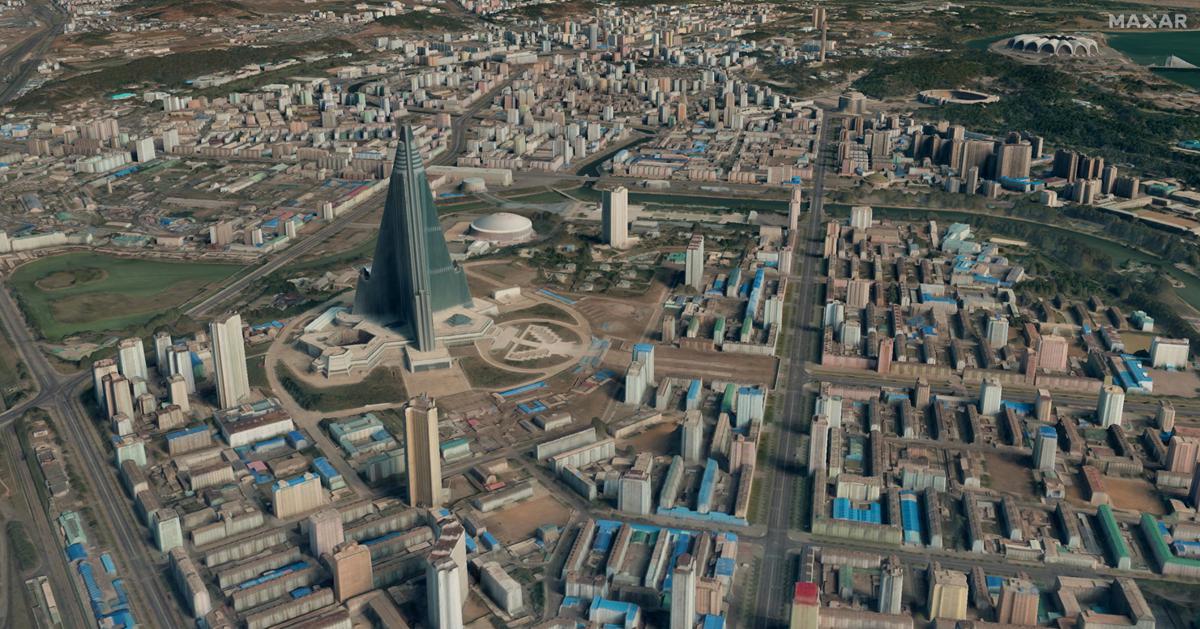
Velodyne Lidar combined with Kaarta Cloud produces stunning 3D Maps
Velodyne Lidar today announced Kaarta Cloud® exclusively supports Velodyne’s lidar sensors. Kaarta’s new cloud-based application is a platform to process, store, and share 3D spaces.
Paired with high quality lidar to capture the environment in 3D, the data is uploaded into Kaarta Cloud to quickly and easily process it into a point cloud for use. High quality 3D mobile mapping is now available to a broader consumer base.
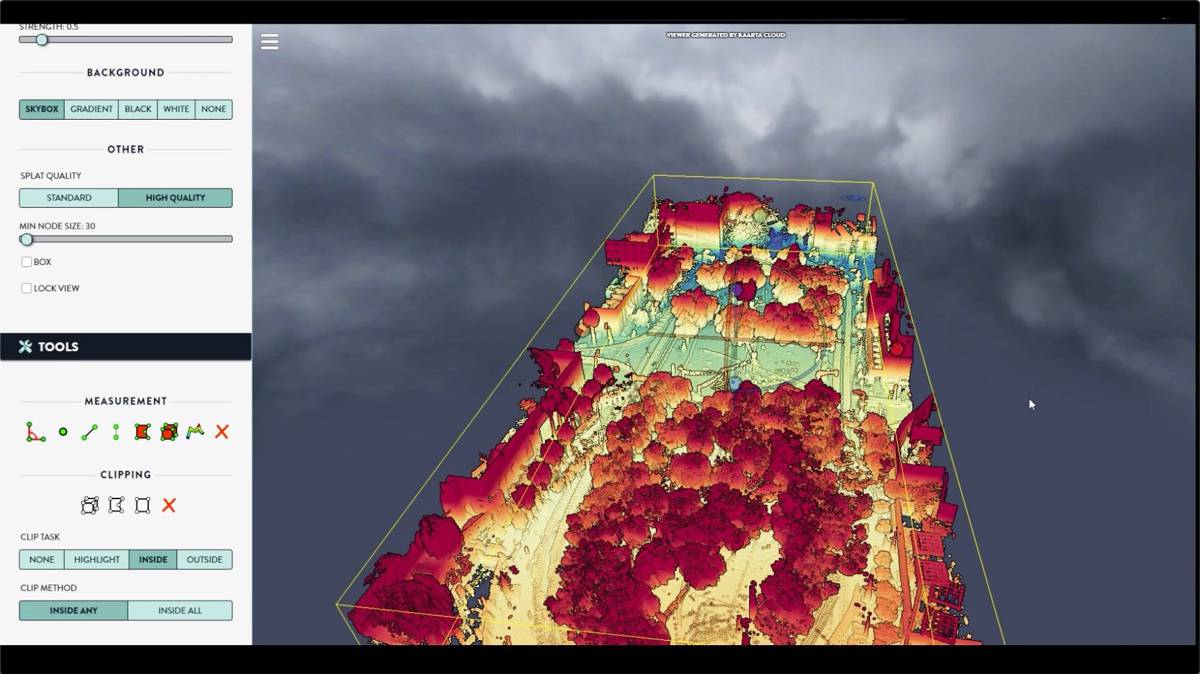
Three Velodyne sensors – Ultra Puck™, Puck™ and HDL-32E – are supported by Kaarta Cloud. After using a Velodyne sensor to scan the environment, Kaarta’s proprietary Kaarta Engine uses simultaneous localization and mapping (SLAM) algorithms to instantaneously process lidar data into a registered point cloud map. This enables users to produce accurate, measurable 3D models and vivid visual representations of complex environments, ranging from buildings and infrastructure to dangerous and hard-to-reach areas.
Mobile scanning systems are continually advancing and the possibilities for use are expansive. There is growing interest in lidar imaging for post-earthquake assessment, surveys of damaged buildings, aiding first responders in emergency situations and more. As the applications and sophistication of these tools grow, so does the size and complexity of the data collected, necessitating new ways of managing massive data sets that can be in excess of one billion points.
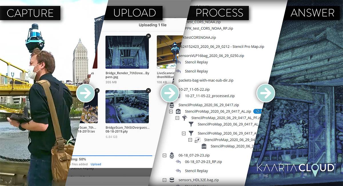
To do so, Kaarta Cloud uses an ultra-high performance parallel-processed network to handle the processing of massive reality capture files. Kaarta Cloud workflow is designed to optimize operations, extract the maximum value from lidar scans, and facilitate data sharing and collaboration through its secure cloud storage platform.
Kaarta Cloud supports all of Kaarta’s robust mobile mapping systems which integrate Velodyne’s Puck, HDL-32E and Ultra Puck into Kaarta’s Stencil 2-16, Stencil 2-32 and Stencil Pro, respectively. Velodyne and Kaarta have strong experience in helping customers address mapping challenges in a wide variety of applications. For instance, Allvision and the City of Pittsburgh used a Velodyne-powered Kaarta solution to conduct detailed curb and parking analysis.
This project provided information to help develop efficient and equitable urban mobility, enable quicker deliveries and significantly improve public parking experiences. Another example is McVeigh & Mangum Engineering, which used a Velodyne-powered Kaarta solution in a highly challenging initiative to document a North Carolina hospital with digital mapping.
Customers can now register for a 30-day free trial of the new Kaarta Cloud platform. Kaarta, as an Automated with Velodyne partner, will discuss how companies can use Velodyne’s lidar integration with Kaarta Cloud during a joint webinar on August 21, from 10:00 to 10:45 a.m. PDT.
“Kaarta Cloud opens up access to Kaarta’s advanced SLAM-based technology to Velodyne’s lidar sensors, in addition to Kaarta systems,” said Kevin Dowling, CEO, Kaarta. “It provides a fast, flexible workflow to manage mobile mapping 3D data from field capture to finished data.”
“Kaarta Cloud is an exciting innovation for the growing ecosystem of software tools that allow Velodyne’s lidar customers and partners to produce awesome 3D digital twins,” said Jon Barad, Vice President of Business Development, Velodyne Lidar. “Online SLAM processing of lidar data expands the capabilities, scope, ease of use and speed at which the user community can leverage Velodyne’s sensors. This will help unlock the tremendous potential for lidar-based innovation and mapping applications.”
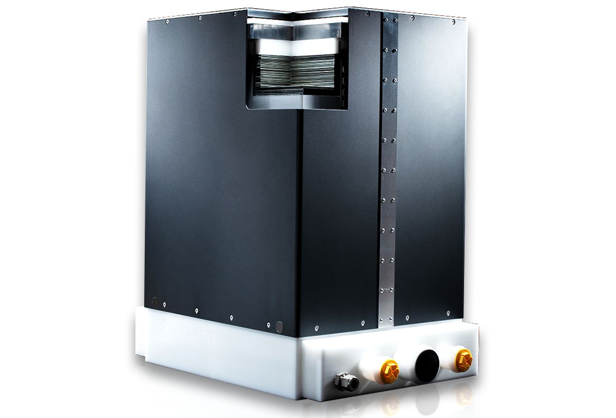
Velodyne Ultra Puck, Puck and HDL-32E sensors deliver a high resolution image to measure and analyze a variety of environments. They provide high quality resolution and performance along with a full 360-degree environmental view to deliver real-time 3D data.