


Bridging the Digital Divide in Maine with Smart Mapping and Community Outreach In the race to make the di ...
-
Bridging the Digital Divide in Maine with Smart Mapping and Community Outreach
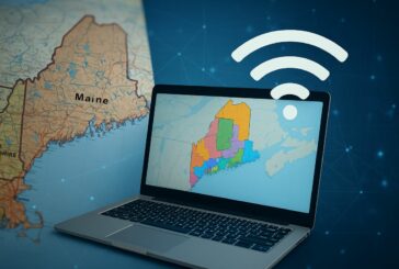
Bridging the Digital Divide in Maine with Smart Mapping and Community Outreach
-
Reimagining Cities in 3D with Geo-SETRA

Reimagining Cities in 3D with Geo-SETRA
-
Mapping the Future with Esri’s Powerhouse Trio of New GIS Books

Mapping the Future with Esri’s Powerhouse Trio of New GIS Books
-
Esri and Microsoft Join Forces to Usher in a New Era of AI Geospatial Intelligence

Esri and Microsoft Join Forces to Usher in a New Era of AI Geospatial Intelligence
-
Esri Unveils One-Click Access to Demographic Insights

Esri Unveils One-Click Access to Demographic Insights
-
A New Era for Location-Aware Design with ArcGIS for Autodesk Forma

A New Era for Location-Aware Design with ArcGIS for Autodesk Forma
-
AI is Transforming Foundation Levelling
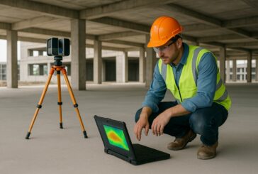
AI is Transforming Foundation Levelling
-
SYSTRA and TomTom Team Up to Revolutionise Transport Planning

SYSTRA and TomTom Team Up to Revolutionise Transport Planning
-
Esri to Unveil AI-Powered ArcGIS Breakthroughs at GEOINT 2025

Esri to Unveil AI-Powered ArcGIS Breakthroughs at GEOINT 2025
-
ASCE and Esri Join Forces to Revolutionise Infrastructure Planning

ASCE and Esri Join Forces to Revolutionise Infrastructure Planning
-
GEO Business Unveils Dynamic Line-Up of Industry Speakers

GEO Business Unveils Dynamic Line-Up of Industry Speakers
-
Mapping the Future at Geo Connect Asia 2025

Mapping the Future at Geo Connect Asia 2025
-
Bentley and Google Revolutionising Infrastructure Inspections with AI Analytics

Bentley and Google Revolutionising Infrastructure Inspections with AI Analytics
-
Esri and ALERTCalifornia Deliver Real-Time Disaster Monitoring in ArcGIS

Esri and ALERTCalifornia Deliver Real-Time Disaster Monitoring in ArcGIS
-
Esri’s New Tool Paving the Way for Real-Time Road Closure Mapping

Esri’s New Tool Paving the Way for Real-Time Road Closure Mapping
-
Mastering Mobile GIS with Esri’s Latest Guide to the Rapidly Evolving Field

Mastering Mobile GIS with Esri’s Latest Guide to the Rapidly Evolving Field
-
Esri Unveils Content Store for ArcGIS to Revolutionise Geospatial Data

Esri Unveils Content Store for ArcGIS to Revolutionise Geospatial Data
-
Mapping the Future of Geospatial Innovation at Geo Connect Asia 2025

Mapping the Future of Geospatial Innovation at Geo Connect Asia 2025
-
Esri Developer and Technology Summit Elevating Geospatial Innovation

Esri Developer and Technology Summit Elevating Geospatial Innovation
-
Topcon Expands Topnet Live Network in the US

Topcon Expands Topnet Live Network in the US