GEO Business 2026 Sets the Stage for Geospatial Leadership
The global geospatial sector is entering a decisive phase. From digital twins and infrastructure resilience to AI driven analytics and satellite intelligence, location data now underpins everything from transport planning to climate adaptation.
GEO Business 2026 will return to ExCeL London on 3 and 4 June 2026, bringing together more than 6,100 professionals and over 110 leading brands from across the geospatial ecosystem. The event’s call for speakers is now open, marking the first step in shaping what has become one of Europe’s most influential forums for surveying, mapping, Earth observation and spatial data innovation.
For construction professionals, infrastructure owners, transport authorities and policymakers, the programme offers more than technical sessions. It offers a barometer for where geospatial is heading and, crucially, how that trajectory will influence investment, regulation and project delivery across the built environment.
Why GEO Business Matters to Infrastructure and Construction
The construction and infrastructure sectors are undergoing rapid digital transformation. According to McKinsey, digital adoption in engineering and construction could unlock productivity gains of up to 15 percent globally, yet the industry continues to grapple with fragmented data, siloed workflows and inconsistent standards. Geospatial technologies, from high precision GNSS to integrated GIS BIM workflows, are increasingly the glue holding complex projects together.
GEO Business has positioned itself at the centre of this convergence. With more than 150 expert led sessions, workshops and demonstrations, the show reflects the growing interdependence between geospatial data and infrastructure outcomes. Roads, railways, energy networks and urban developments now rely on real time spatial intelligence not just for design but for lifecycle management. Decisions that were once reactive are becoming predictive.
The event’s organisers have made clear that they are seeking speakers who can address this transformation head on. As Event Manager Annie Reardon-Smith explains: “We want to hear from people with powerful ideas; thinkers and doers who can energise, inform, and inspire our audience.”
She adds: “If you’re shaping the future of geospatial technology, using location data to solve real-world problems, or addressing the industry’s most pressing issues, we want to hear about it.”
In a market where location data underpins billions in infrastructure investment, the opportunity to influence professional thinking is no small matter.
AI in Action Moves from Concept to Practice
One of the most significant developments for 2026 is the launch of the AI in Action Stage. Artificial intelligence is no longer a speculative add on to mapping workflows. It is reshaping how geospatial data is captured, processed and interpreted.
From automated feature extraction in aerial imagery to machine learning models that predict asset deterioration, AI is steadily embedding itself into geospatial pipelines. Research by PwC suggests AI could contribute up to $15.7 trillion to the global economy by 2030, with infrastructure and transport among the sectors expected to see tangible efficiency gains.
The AI in Action Stage promises live demonstrations and applied case studies rather than abstract theory. That focus matters. Construction and infrastructure professionals are often wary of technology that overpromises and underdelivers. Showing how AI integrates with surveying, digital twins, utilities mapping or transport modelling helps move the conversation from hype to operational reality.
Yet organisers are careful to emphasise that AI is only part of the story. Geospatial remains a broad discipline encompassing Earth observation, surveying innovation, BIM GIS integration and utilities mapping. The 2026 programme reflects that diversity.
Integrating BIM and GIS Across the Built Environment
The fusion of Building Information Modelling and Geographic Information Systems has become one of the most consequential developments in project delivery. BIM offers granular asset level detail, while GIS provides spatial context at city, regional and national scale. When combined effectively, they enable integrated planning, improved clash detection and long term asset management.
Governments across Europe and beyond are increasingly mandating digital workflows for public infrastructure. The UK’s commitment to digital construction standards and open data frameworks has reinforced the importance of spatial interoperability. Meanwhile, smart city initiatives across Asia and the Middle East are pushing demand for integrated digital twins that rely heavily on geospatial inputs.
GEO Business has consistently provided a forum for these discussions. By inviting speakers to address BIM, GIS and digital integration across the built environment, the 2026 edition signals that interoperability and data governance remain central industry concerns. For investors and asset owners, these issues translate directly into risk management and return on investment.
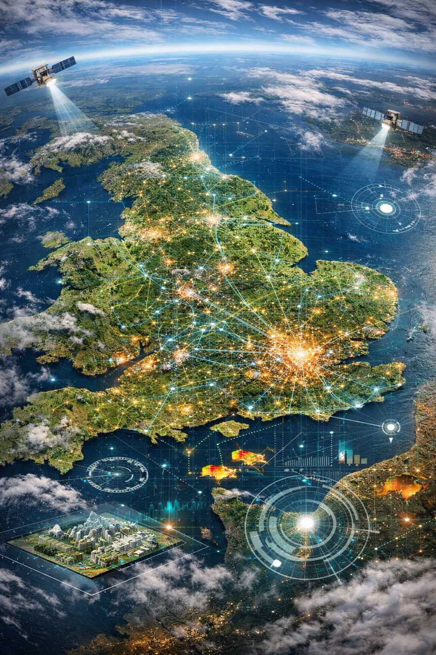
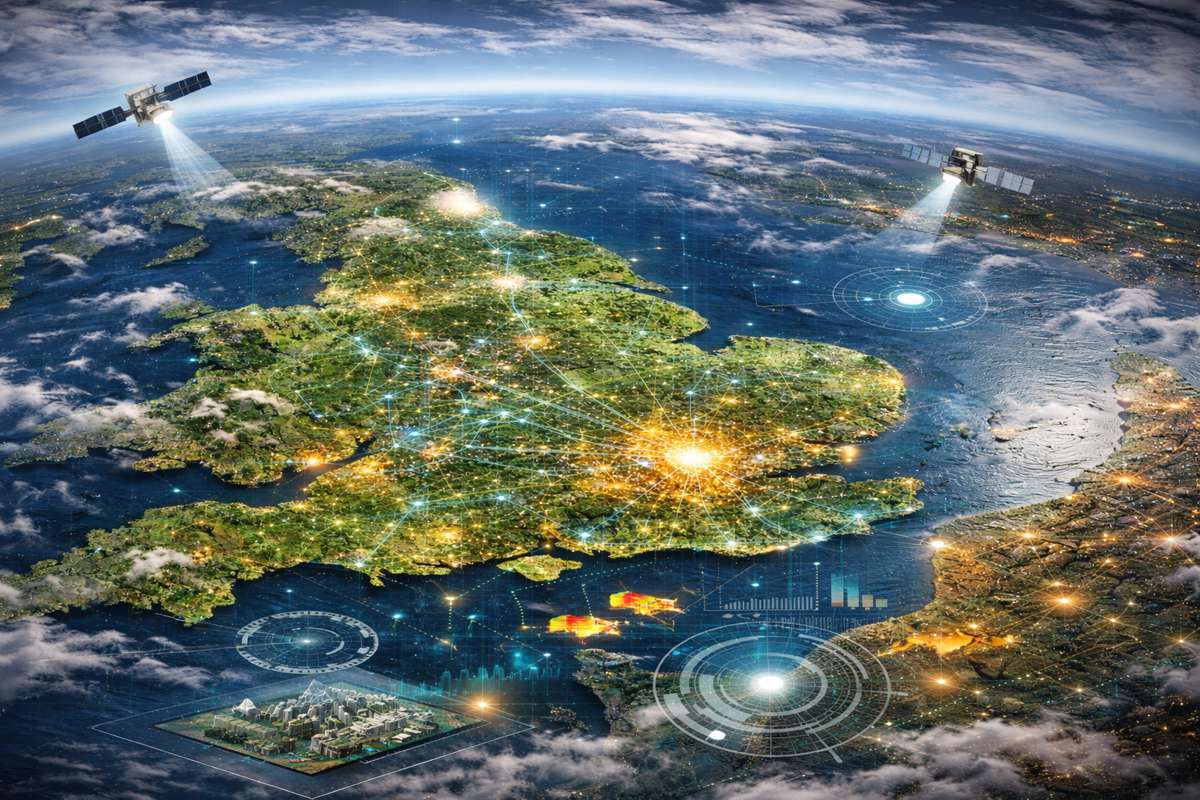
Earth Observation and Climate Resilience
Climate change is reshaping infrastructure priorities worldwide. Rising sea levels, extreme weather and urban heat stress are no longer distant scenarios. They are active risk factors influencing planning permissions, insurance premiums and capital allocation.
Earth observation technologies, including satellite imagery and remote sensing platforms, are becoming indispensable tools in this context. High resolution satellite data supports flood modelling, landslide monitoring and environmental compliance. According to the European Space Agency, Earth observation services now support sectors ranging from agriculture to disaster response, with growing application in infrastructure resilience planning.
By including a dedicated Earth Observation stream, GEO Business acknowledges the expanding role of satellite data in transport corridors, utilities management and urban planning. For policymakers, the integration of Earth observation into infrastructure monitoring offers a cost effective means of improving transparency and public safety.
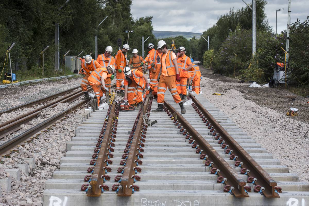
Surveying, Mapping and Measurement Innovation
At its core, geospatial remains rooted in precise measurement. Advances in GNSS, laser scanning, mobile mapping and drone based surveying are steadily increasing accuracy while reducing time on site. That efficiency is particularly valuable in large scale infrastructure projects where delays carry heavy financial penalties.
Recent developments in multi constellation GNSS receivers and SLAM based scanning systems have enhanced data capture in challenging environments such as tunnels, dense urban areas and forested corridors. These innovations have direct implications for road upgrades, rail extensions and utility expansions.
GEO Business provides a platform for demonstrating such technologies in a real world setting. Previous speaker Andrew Evans, Senior Product Manager at Topcon, reflected on the quality of content presented: “There’s a lot going on, and it’s interesting to see. What I’m really impressed with is the quality of speakers and a well thought out selection of presentations.”
For contractors and engineering consultancies, exposure to this level of expertise can influence procurement decisions and shape technology roadmaps.
Utilities, Energy and Transport Infrastructure
Infrastructure is no longer confined to concrete and steel. Energy transition projects, smart grids and electric vehicle charging networks all depend on accurate geospatial datasets. Utilities operators require detailed subsurface mapping to avoid costly strikes and service interruptions. Transport authorities depend on spatial analytics to manage congestion and optimise maintenance schedules.
By dedicating stages to Utilities and Energy, as well as Transport and Infrastructure, the 2026 programme recognises the central role geospatial data plays in these sectors. As electric mobility expands and decentralised energy systems gain ground, the demand for accurate, up to date location intelligence will only intensify.
For infrastructure investors, that trend signals opportunity. Firms that integrate geospatial analytics into asset management strategies stand to reduce operational costs and improve resilience. The speakers selected for GEO Business 2026 will help shape that narrative.
Elevating New Voices and Industry Diversity
Beyond technology, the event’s organisers have emphasised inclusivity and fresh perspectives. First time speakers and underrepresented voices are strongly encouraged to apply. In an industry often perceived as technically rigorous but culturally narrow, broadening participation is not merely symbolic. It strengthens innovation.
Diverse teams have been shown in numerous studies to outperform homogenous groups in problem solving and creative thinking. For a sector tasked with addressing complex challenges such as decarbonisation and urbanisation, widening the pool of thought leaders is pragmatic as much as progressive.
Dr Iris Kramer, Founder and CEO of ArchAI, highlighted the exposure gained through participation: “We got loads and loads of people coming to our talk and lots of interesting conversations from that, so it’s been really great.”
For emerging companies and research institutions, the opportunity to connect directly with decision makers and project owners can accelerate commercial adoption.
A Platform That Shapes Policy and Investment
Large scale events often claim influence, but GEO Business operates at the intersection of technology, regulation and capital allocation. When surveying standards evolve or new AI frameworks emerge, the implications ripple across infrastructure procurement and compliance regimes.
By convening thousands of professionals under one roof, the event functions as a live marketplace of ideas. Contractors evaluate technologies. Software providers gather feedback. Policymakers observe industry direction. Investors assess commercial maturity. In that environment, the speaker line up is not a peripheral detail. It sets the intellectual tone.
Applications to speak are submitted via the official website, with proposals reviewed after the deadline and successful applicants contacted by email. For professionals shaping the future of geospatial, the stage at ExCeL London offers both visibility and influence.
As infrastructure projects grow in complexity and digital dependency, the ability to interpret and manage location data will become ever more critical. GEO Business 2026 aims to capture that momentum, providing a forum where the future of geospatial is not merely discussed but actively defined.