


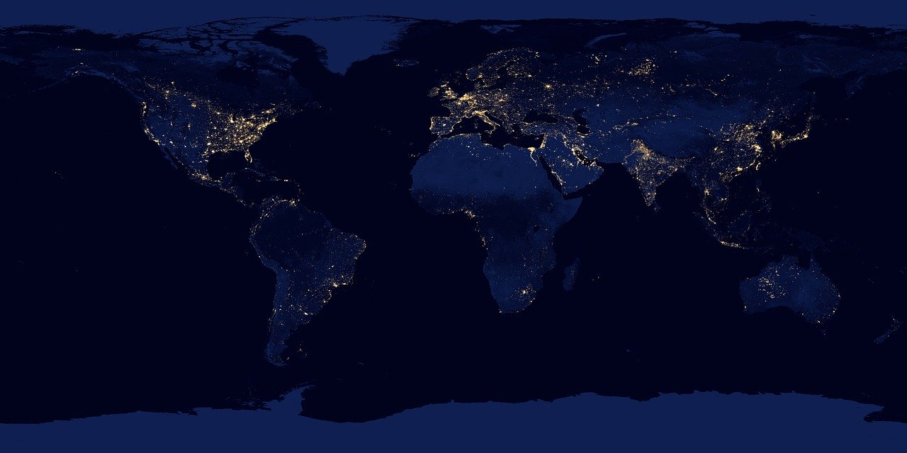
Esri's new book introduces Water and Power Utilities to GIS Spatial Analytics Esri, the global leader in ...
-
Esri’s new book introduces Water and Power Utilities to GIS Spatial Analytics

Esri’s new book introduces Water and Power Utilities to GIS Spatial Analytics
-
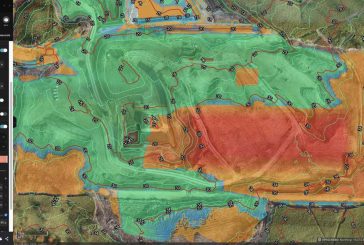
US Drone Pilots get new capabilities with Esri Site Scan for ArcGIS

US Drone Pilots get new capabilities with Esri Site Scan for ArcGIS
-
Esri fleet tracking partner Track Star integrates ArcGIS Platform
Esri fleet tracking partner Track Star integrates ArcGIS Platform
-
Esri joins the Digital Twin Consortium

Esri joins the Digital Twin Consortium
-
Esri launches ArcGIS Field Maps mobile app
Esri launches ArcGIS Field Maps mobile app
-
Esri UK partners with Heliguy for end-to-end drone solution for AEC industry

Esri UK partners with Heliguy for end-to-end drone solution for AEC industry
-
Esri Site Scan for ArcGIS enables drone operators to meet regulations in the US and Europe

Esri Site Scan for ArcGIS enables drone operators to meet regulations in the US and Europe
-
AfroChampions and Esri join forces to encourage GIS across Africa
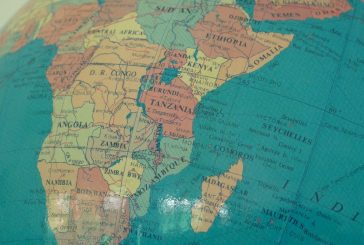
AfroChampions and Esri join forces to encourage GIS across Africa
-
Esri publishes book about Web GIS featuring the latest advances in ArcGIS

Esri publishes book about Web GIS featuring the latest advances in ArcGIS
-
Esri releases Guidebook for Advanced Python Scripting in ArcGIS Pro

Esri releases Guidebook for Advanced Python Scripting in ArcGIS Pro
-
Esri acquires nFrames to enhance 3D Surface Imaging Technology
Esri acquires nFrames to enhance 3D Surface Imaging Technology
-
Esri and UN launch storytelling competition to spread awareness of sustainable development

Esri and UN launch storytelling competition to spread awareness of sustainable development
-
Esri and Facebook collaborate on the release of OpenStreetMap Datasets
Esri and Facebook collaborate on the release of OpenStreetMap Datasets
-
Esri announces GIS awards for innovation and global contribution

Esri announces GIS awards for innovation and global contribution
-
Esri UK’s map of pavement widths helps local authorities with social distancing plans
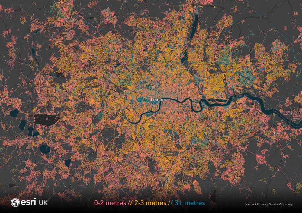
Esri UK’s map of pavement widths helps local authorities with social distancing plans
-
Esri offering Free Mapping Software to Women in GIS

Esri offering Free Mapping Software to Women in GIS