Esri UK partners with Heliguy for end-to-end drone solution for AEC industry
Esri UK today announced a new partnership with drone specialists Heliguy to complete its end-to-end drone solution designed for the architecture, engineering and construction (AEC) industries.
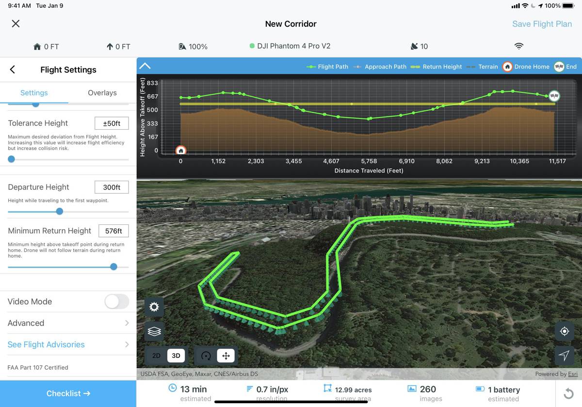
The final piece in Esri UK’s strategy to offer all parts of the drone workflow, the partnership will provide customers with drone hardware, pilot training and flying services from Heliguy, adding to Esri’s existing drone flight planning, data capture, data processing and GIS software. Containing these processes in one solution provides users with a more cost-effective workflow and saves time.
Offering a compelling solution to AEC organisations looking for integrated and scalable drone programmes, the new partnership aims to streamline current processes, from drone management and data capture, through to data analysis and better sharing of outputs across a business, including integration with BIM and CAD workflows.
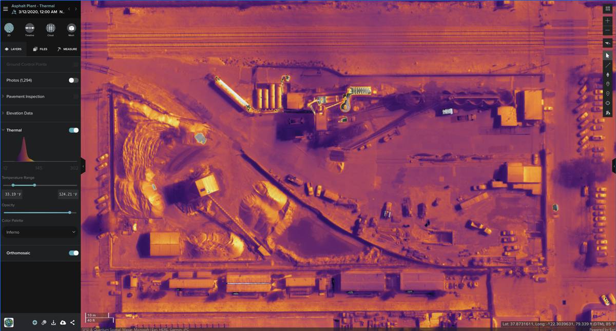
Current Esri drone software customers include Skanska Norway, Arcadis and PCL Construction in North America, while UAV specialist Heliguy manages some of Europe’s largest drone programmes, working with Balfour Beatty, Atkins and Network Rail.
“Esri has invested heavily in creating its drone technology and this new relationship completes the picture in the UK. By providing a single source of hardware and software, the partnership will help customers maximise their investment in drones and GIS,” said Craig Evenden, Head of AEC & BIM at Esri UK. “As drone usage grows, accelerated by the Covid-19 pandemic, the AEC community is demanding more integrated programmes that can easily grow across their business. Heliguy’s vast experience and training capabilities, coupled with Esri’s cloud-based drone and GIS software are a perfect match for the AEC industry’s new enterprise requirements.”
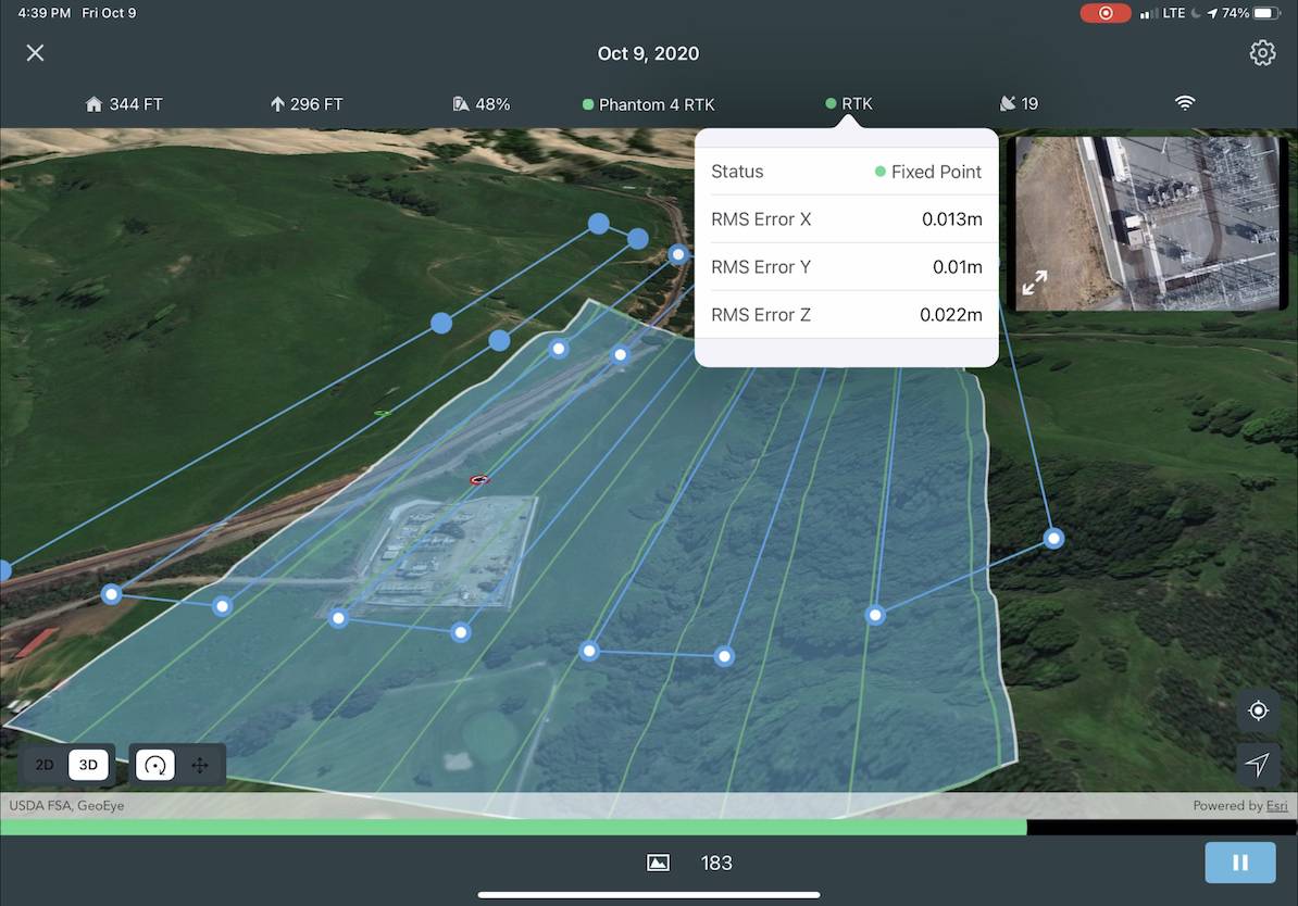
Through the new partnership, Esri UK and Heliguy will work on joint projects, aiming to introduce new and more efficient workflows by bringing together customers’ GIS and Survey teams who have traditionally worked separately on drone-related projects.
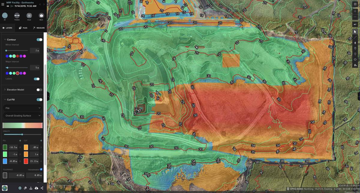
“The AEC drone industry is still in its infancy which sees many piecemeal projects with no proper joined-up internal approach, which leads to failure,” commented Ruairi Hardman, Heliguy’s Business Development Manager. “Internal drone programmes that can scale across a business are a fairly new phenomenon and these are what we look forward to delivering alongside Esri UK. Robust, standardised drone workflows, designed for the long-term, can lead to 1-2% efficiency gains which translates into millions of pounds on large-scale construction projects.”
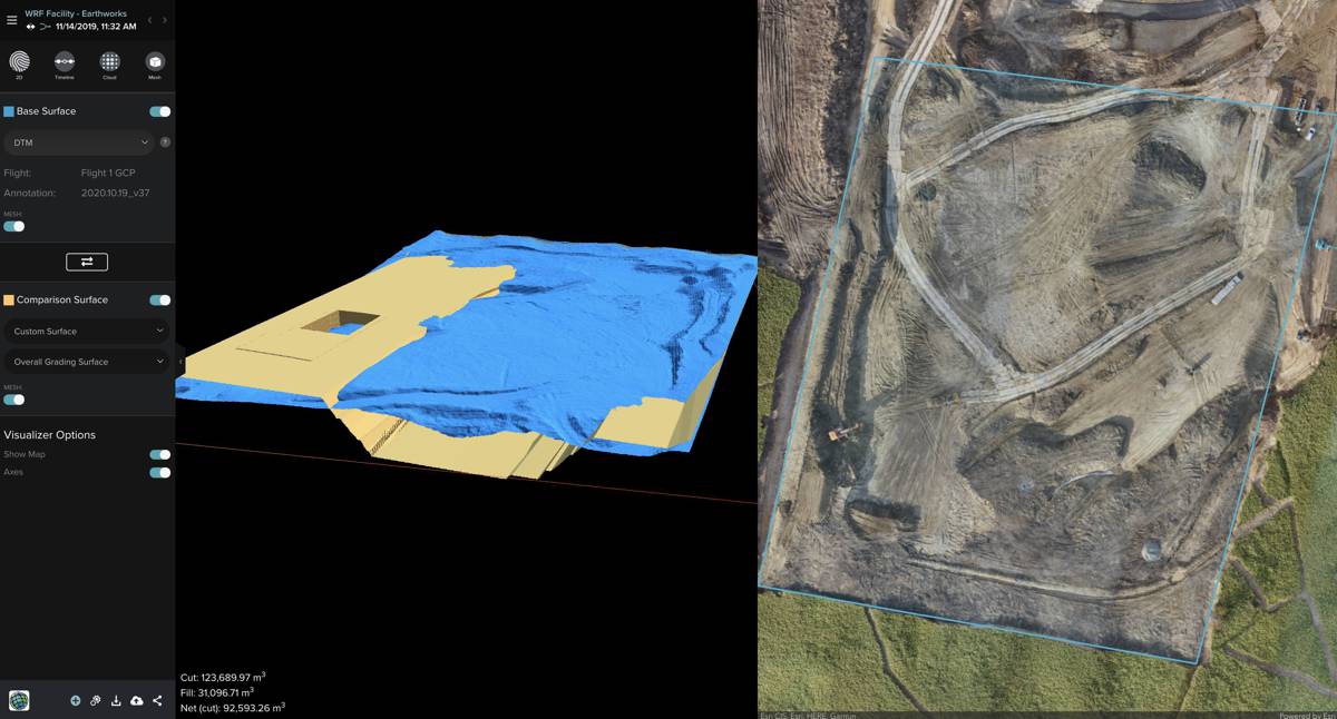
AEC organisations use Esri’s GIS software to help plan, design, build and maintain smarter buildings and infrastructure. Esri UK customers include Arcadis, Mott MacDonald, Costain, Crossrail, the Skanska, Costain and STRABAG Joint Venture and Highways England.
Esri UK and Heliguy are holding a joint webinar on 19 November 2020 at 3.00-4.00pm, to discuss how the new partnership helps meet AEC challenges and improve workflows.
For more information and registration visit their website.