Ten Tonnes Above Everest Base Camp with a DJI FlyCart 100
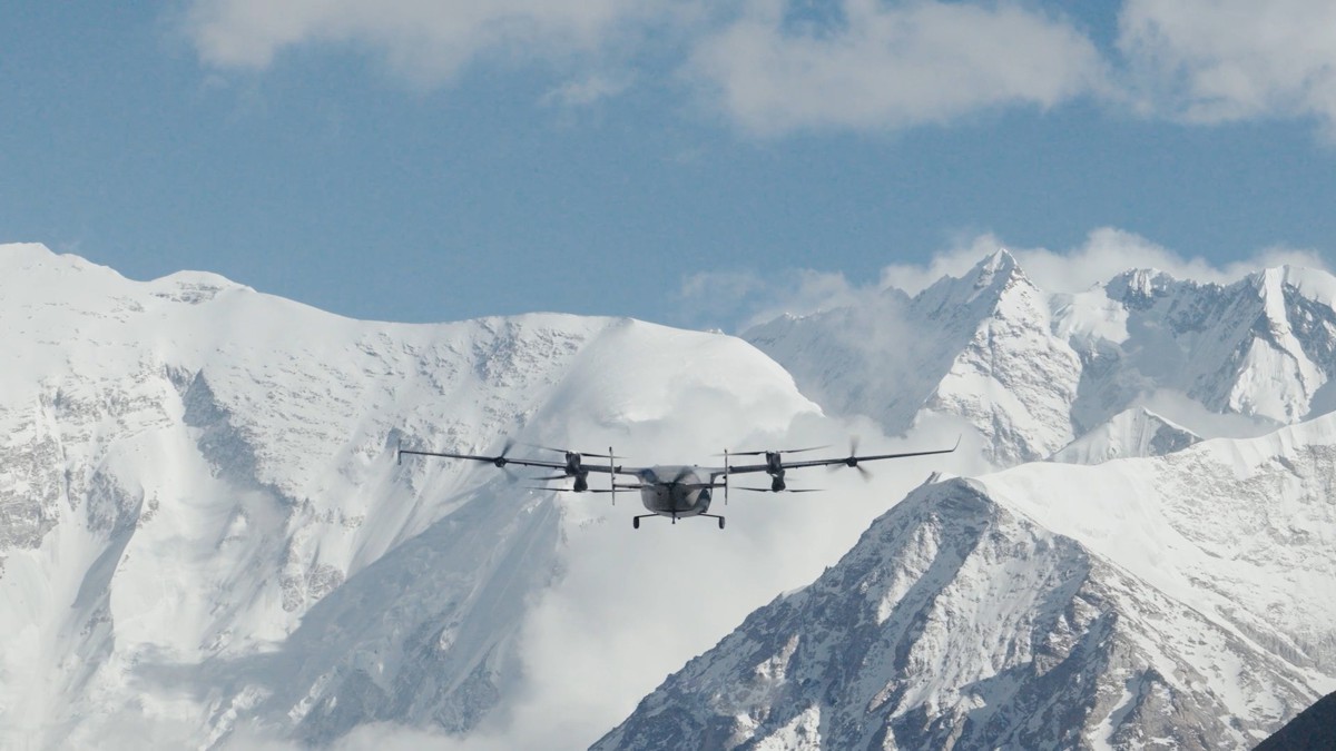
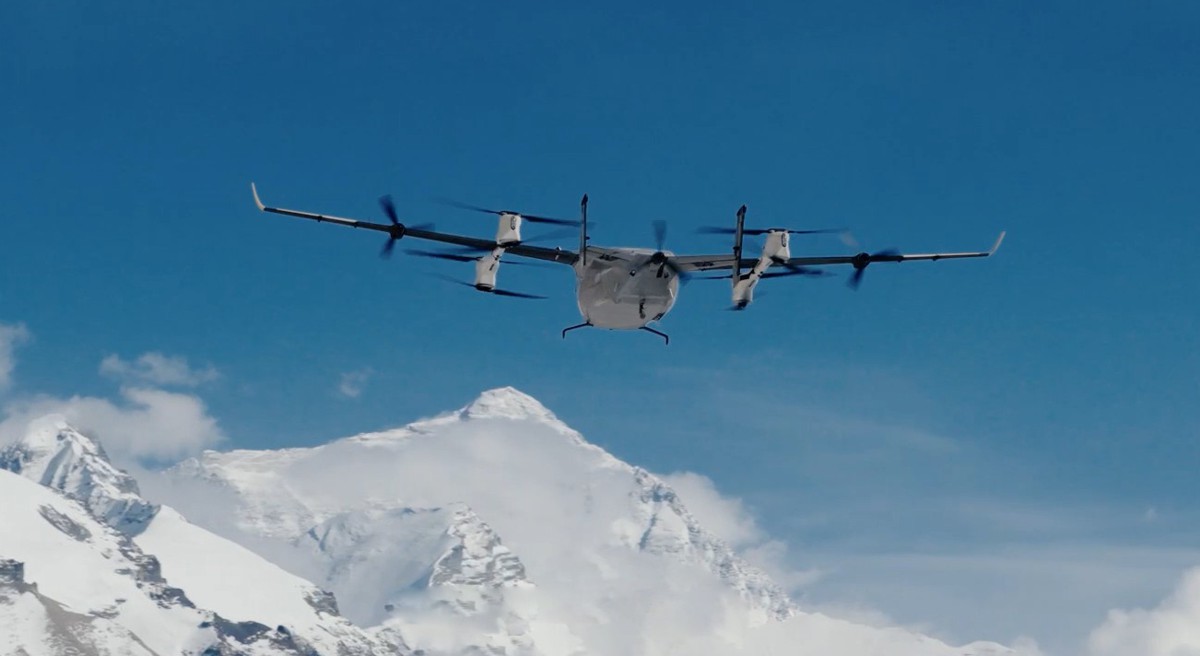
DJI’s disclosure that it moved 10,073 kg of cargo between Everest Base Camp and Camp 1 during the spring 2026 climbing season is being reported as a mountaineering story, but the numbers belong in a logistics ledger rather than an expedition diary. A single one-way flight took eight minutes across terrain that Sherpas have historically crossed on foot in six to eight hours, and the aircraft doing the work costs less than a mid-range excavator attachment.
For infrastructure contractors, utilities and remote-site operators, the significant fact is not the altitude record. It is that a commercially available airframe, flown by a local operator under a municipal service contract, sustained tonnage-scale logistics for an entire season in one of the least forgiving operating environments on earth.
That shifts the industry conversation onto different ground. The engineering question of whether electric heavy-lift aircraft can perform useful industrial work in cold, thin air and unstable wind has effectively been answered.
What now determines how quickly aerial logistics reaches construction sites, transmission corridors, offshore assets and remote mining operations is a different set of variables entirely: spectrum authorisation, national security screening of manufacturers, operator competence and the pace of beyond visual line of sight rulemaking.
Everest has become the clearest available demonstration that the binding constraint on this market has moved from physics to policy and procurement, and the buyers who understand that distinction will move first.
Briefing
- DJI’s FlyCart 100 moved 10,073 kg between Everest Base Camp and Camp 1 during the spring 2026 season, comprising 7,215 kg of climbing supplies and 2,858 kg of waste, carrying up to 47 kg per flight above 6,300 m in temperatures from -15°C to 5°C.
- A DJI Matrice 4E mapped more than 3 km² of the Khumbu Icefall’s core area at centimetre resolution in 3.5 hours at 6,450 m, producing hazard intelligence that route-fixing teams used to rebuild a blocked route after a serac field halted the 2026 season for roughly three weeks.
- DJI used the missions to reveal the EV50, its first eVTOL cargo aircraft, a lift-and-cruise design rated at 50 kg payload and 150 km unladen range that reached 8,861 m on Everest’s north slope carrying ozone instruments for Peking University.
- Nepali operator Airlift Technology charges roughly Rs1,000 per kilogramme to Camp 1 under a tripartite agreement with the Sagarmatha Pollution Control Committee and Khumbu Pasang Lhamu Rural Municipality, undercutting helicopter lift on a per-kilogramme basis.
- Regulatory exposure remains the sector’s live commercial risk, with DJI added to the FCC Covered List on 22 December 2025 and Nepal’s home ministry suspending Everest drone operations for five days from 30 April 2026 on unspecified security grounds.
Ten Tonnes Across the Icefall Rewrites Remote Logistics Economics
The tonnage figure matters because of what it displaces. The Khumbu Icefall is roughly a kilometre of shifting glacier between Base Camp at 5,364 m and Camp 1 above 6,000 m, and it has accounted for a substantial share of Everest fatalities since 1953, most of them Sherpas performing route work rather than clients attempting the summit.
Every ladder, rope coil, oxygen cylinder and fuel canister that reaches the upper mountain has traditionally been carried through it on somebody’s back, several times over. Cutting an eight-hour exposure to an eight-minute flight is a safety outcome, but it is also a straightforward substitution of capital equipment for repeated high-risk human labour, which is precisely the calculation infrastructure owners run when they evaluate remote-access plant.
The pricing tells the commercial story more clearly than the altitude does. Airlift Technology charges in the region of Rs1,000 per kilogramme for lifts to Camp 1, a rate the Kathmandu Post has reported as materially below helicopter alternatives, and the company operates under a formal agreement with the Sagarmatha Pollution Control Committee and the local rural municipality rather than as a demonstration partner.
That structure is the important detail. It converts a technology trial into a procured service with defined tonnage obligations, including a contractual commitment to remove ten tonnes of waste from Camp 1 during the season. The progression is visible in the numbers: earlier trials moved 2.5 tonnes of supplies and 300 kg of rubbish, the 2025 season handled 444 kg of route-fixing equipment, 900 kg of expedition supplies and 150 oxygen cylinders, and 2026 delivered more than ten tonnes in a single programme.
Performance in the field also sets realistic expectations for specifiers. The FlyCart 100 is rated at 100 kg at sea level, but Airlift has publicly described roughly 40 kg as the practical high-altitude figure, and DJI’s own reported test payload of 47 kg above 6,300 m sits in the same band. Anyone modelling aerial logistics for a Himalayan hydropower access road, an Andean transmission line or an Arctic pipeline pad should plan around that derating rather than the headline specification.
The platform launched in China from around ¥89,999, which places serious lift capacity within the equipment budget of a mid-sized contractor, and that price point is the reason the technology is likely to spread faster through service providers than through owner-operated fleets.
Centimetre-Grade Glacier Mapping Turns Survey Into Operational Control
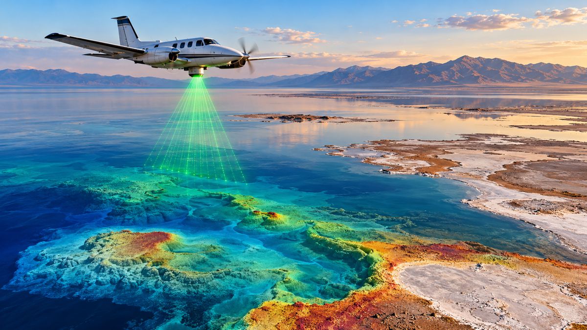
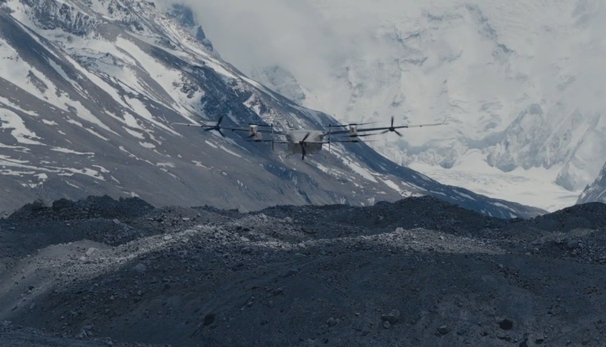
The mapping component of the Everest programme deserves more attention from infrastructure readers than the cargo numbers, because it demonstrates a workflow rather than a payload. Operating at 6,450 m in temperatures below -20°C, the Matrice 4E surveyed more than 3 km² of the icefall’s core, covering Base Camp, the icefall itself and the ground above Camp 1, and delivered centimetre-level data in three and a half hours.
Processed into three-dimensional models, that data allowed route-setting teams to locate crevasses, surface displacement and unstable seracs before committing anyone to the ice. Raj Bikram Maharjan, chief executive of Airlift Technology, framed the distinction precisely: “While glacier mapping and satellite monitoring have been used in different parts of the world, what we are doing in Nepal is unique because of the level of detail, operational application, and real-time safety focus for mountaineering.”
The 2026 season provided an unplanned stress test of that capability. Route preparation began in mid-March and had progressed well before a large serac field formed across the passage, stalling the icefall doctors for around nineteen days and delaying the season by close to three weeks while hundreds of climbers waited at Base Camp. Repeated drone survey sessions supported the reassessment and rebuilding of a viable line, and comparative day-by-day analysis of the models allowed the team to track how the glacier was moving rather than guess at it.
Maharjan described the deployment as a probable first, noting that “To our knowledge, this is the first deployment of its kind in Nepal, and potentially one of the first real-world operational uses globally at this scale in a high-altitude expedition environment.”
Strip out the mountaineering context and the pattern is familiar to anyone running asset monitoring on a live construction site or a deteriorating structure. Repeat-pass photogrammetry at short intervals, processed into comparable models, converts a survey record into a control instrument capable of showing rate of change rather than a single snapshot. Slope stability on cuttings and spoil heaps, scour around bridge piers, tailings dam deformation and stockpile movement all follow the same logic, and the value lies in the cadence rather than the resolution.
The aircraft also carried a laser range finder used to generate precise coordinate markings for hazard locations, the same functional capability that underpins as-built verification and rapid incident assessment on civil projects.
The eVTOL Step and the Reach of Regional Aerial Supply
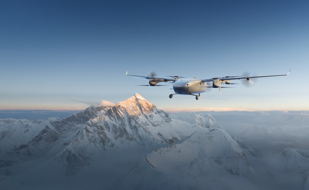
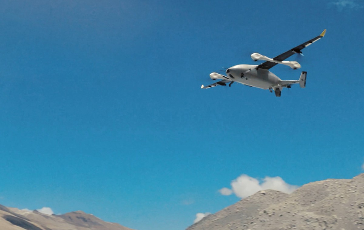
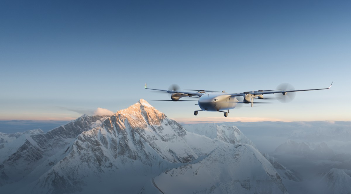
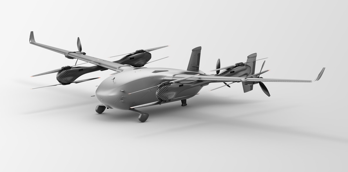
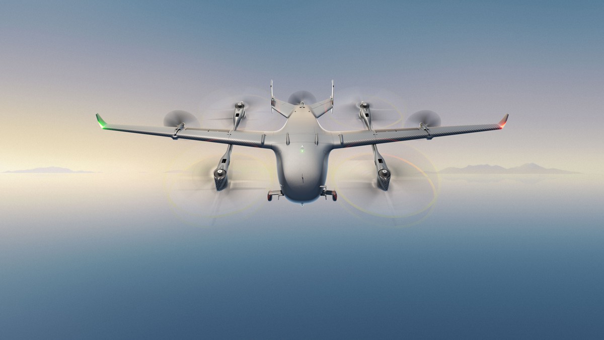
DJI chose the Everest programme to introduce the EV50, its first electric vertical take-off and landing cargo aircraft, and the design choice signals where the company expects industrial demand to sit. Rather than another multirotor, the EV50 is a lift-and-cruise machine with eight vertical rotors, three pusher propellers and a roughly seven-metre wingspan, rated at 50 kg payload with a 270-litre hold and a maximum unladen range of 150 km.
On Everest’s north slope, in the Qomolangma National Nature Reserve, it flew twelve transport missions over twelve days carrying ozone-measuring equipment for the College of Environmental Sciences and Engineering at Peking University, reaching a maximum altitude of 8,861 m with a maximum continuous climb of 3,730 m from a base camp at around 5,200 m.
The engineering significance is that fixed-wing cruise efficiency addresses the constraint that has limited multirotor cargo aircraft to short shuttle work. Multirotors burn energy holding themselves up, which is why the FlyCart family excels at repeated short hops across an obstacle and struggles with distance.
A lift-and-cruise platform trades some hover simplicity for range, and that changes which infrastructure problems are addressable: island and offshore resupply, transmission corridor maintenance across mountainous terrain, and post-disaster delivery where roads and bridges have been cut. Anti-icing provision, independent battery architecture, dual thermal management and an emergency parachute point toward a design intent focused on regulated commercial operation rather than demonstration flights.
Europe’s offshore wind sector has already established the commercial template the EV50 is aiming at. Skylift, flying FlyingBasket heavy-lift aircraft, has delivered tens of tonnes of equipment to Ørsted turbines in what has been described as the United Kingdom’s first large-scale offshore drone delivery programme, covering several hundred turbines.
Volatus Aerospace signed a contract in March 2026 to commercialise 100 kg vessel-to-nacelle deliveries for a major offshore wind operator, while Skyports, RWE and Skyways have flown automated cargo drops to turbines at the Arkona wind farm. Those programmes established the operating model; DJI’s arrival with a five-year development effort and volume manufacturing behind it changes the cost structure of the hardware layer.
Where the Commercial Value Is Actually Concentrating
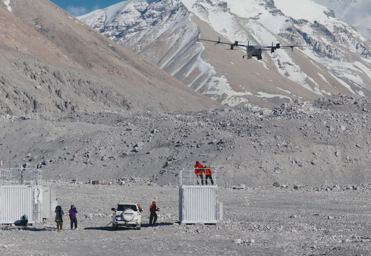
The most instructive commercial detail in the Everest story is that the aircraft manufacturer is not the entity holding the contract. Airlift Technology, a Kathmandu startup, holds the service agreement, employs the pilots, manages the dual-operator handover between Base Camp and Camp 1, and carries the tonnage obligation. The same pattern is visible offshore, where Skylift and Skyports rather than airframe manufacturers hold the relationships with Ørsted and RWE.
Hardware is becoming the commoditised layer, and the durable margin is accumulating in operators who can demonstrate regulatory clearance, trained crews, mission planning discipline and insurable safety records in a specific operating environment.
That has direct consequences for how infrastructure clients should structure their own approach. Buying aircraft without building the operating capability produces expensive hangar assets, as several utilities discovered during earlier inspection-drone procurement cycles. The competencies that generate value are procedural rather than mechanical: airspace coordination, weather-window judgement, payload rigging, battery logistics in cold conditions, data processing pipelines and the documentation required to satisfy an aviation regulator.
Airlift’s experience illustrates the point in both directions, since the company lost an aircraft in 2025 when an unexpected gust triggered an emergency parachute deployment, and it also detected a hanging serac during route preparation on Pumori hours before an avalanche struck the same area.
Analyst estimates of the heavy-lift segment vary widely, which is itself a sign of a market still forming, with published figures for 2025 ranging from under a billion dollars for delivery-specific platforms to roughly $1.8 billion for the broader heavy-lift category.
The consistent element across forecasts is a compound annual growth rate in the mid-teens through the next decade, with construction, energy and utilities identified as the leading commercial applications. For contractors and asset owners, the practical read is that service capacity rather than airframe supply will be the scarce resource over the next three to five years, and early relationships with capable operators will be worth more than early hardware purchases.
Spectrum, Security Screening and the New Procurement Ceiling
The regulatory position is where infrastructure buyers need to be most deliberate, because the Everest programme unfolded against two separate interventions that had nothing to do with flight performance. On 22 December 2025, one day before the deadline set by Section 1709 of the FY2025 National Defense Authorization Act, the Federal Communications Commission added foreign-manufactured uncrewed aircraft systems and critical components to its Covered List.
The mechanism was procedural rather than evidentiary, since no agency completed the security review the statute envisaged, and the effect is that new equipment authorisations are blocked for affected products in the United States. Existing fleets continue to operate, but new models cannot be legally imported, marketed or sold without an exemption.
DJI has contested the designation vigorously, filing a petition for reconsideration on 21 January 2026 and a parallel action in the Ninth Circuit in February, with the company estimating exposure in the region of $1.56 billion across authorisations set aside for existing products and planned 2026 launches. The Department of Defense filed a memorandum opposing the petition in April, citing both classified and unclassified material, and the reply window closed in May.
Four non-Chinese systems received conditional approvals under the exemption framework in March 2026, none from Chinese manufacturers. Separately, the FAA’s Part 108 beyond visual line of sight rule has slipped past its spring 2026 target, with right-of-way and electronic conspicuity provisions attracting the majority of substantive comments, which delays the framework that would allow routine long-range commercial operation at scale in the American market.
Nepal supplied a sharper illustration of political risk in real time. On the evening of 30 April 2026, the home ministry suspended Airlift’s operations on unspecified security grounds, an order that appeared to cover both the Chinese-built FlyCart 100 and an American Freefly Alta X Gen 2 that had been showcased at Base Camp.
The suspension held for five days, during which the Expedition Operators Association sought drone support after a serac collapse injured two people and could not obtain it. Approval was restored on 5 May. The episode underlines a point that applies well beyond the Himalaya: aerial logistics capability is now embedded in a geopolitical contest over sensor access and mapping data, and any organisation building operations around a single national supply chain is accepting a concentration risk that has already materialised twice within six months.
Waste, Instruments and the Compliance-Driven Payload Market
The waste figures deserve separate attention because they point to a revenue stream that infrastructure operators will recognise. Of the 10,073 kg moved, 2,858 kg was rubbish brought down from the mountain, and the programme is structured to remove approximately 10,000 kg of waste from higher camps that previously could not be cleared at all. With each climber leaving roughly 8 kg of material behind and Nepal’s permit royalty rising to $15,000 for the spring season from September 2025, the economics of environmental compliance on Everest have changed substantially. The Nepal Mountain Association’s Zero Waste Initiative 2027 provides the policy framework, and drone lift provides the only practical means of meeting it above the icefall.
The pattern generalises. Wherever regulation imposes a physical obligation in a location that is expensive or dangerous to reach, aerial capability converts a compliance liability into a serviceable contract. Remediation of legacy material on decommissioned offshore platforms, sampling obligations on contaminated land, monitoring instrument servicing on high dams and glacier-fed catchments, and sensor deployment across long linear assets all share that structure.
The Peking University work on Everest’s north slope is the research-grade version of the same idea, with the EV50 carrying ozone instruments through spiral ascents and reciprocating flight patterns to gather fine-scale observations of atmospheric pollutants in the ultra-high troposphere, a dataset that previously required either balloon platforms or crewed aircraft.
Christina Zhang, spokesperson for DJI, positioned the programme around that combination of safety and environmental application, noting that “Our team remains dedicated to making the world’s highest mountain safer and cleaner for Sherpas and mountaineers worldwide,” and adding that “The success of our latest operations marks a proud milestone, and we hope our ongoing collaboration with the scientific community will further advance drone technology—saving lives and supporting conservation efforts across the globe.”
The corporate framing is unsurprising, but the underlying observation holds: instrument carriage and material recovery are becoming as commercially significant as parcel delivery, and they are less exposed to the consumer regulatory debates that dominate coverage of the sector.
Reading the Everest Data as a Procurement Signal
The through-line connecting seventeen years of DJI activity on the mountain, from the XP3.1 flight control tests in 2009 through the Ace One operating above 4,700 m in 2010, the Mavic 3 summit footage in 2022 and the FlyCart 30 delivery trials in 2024, is a steady conversion of capability demonstrations into working equipment. The 2026 season completes that arc by producing something an accountant can evaluate: tonnage moved, cost per kilogramme, cycle time, hectares surveyed and hours saved. Those are the metrics that infrastructure procurement teams use, and their availability is what makes this announcement different from the altitude records that preceded it.
For construction and infrastructure businesses, the practical response is to separate the two decisions that are frequently conflated. The first is whether aerial logistics and repeat-pass survey belong in the delivery model for remote, hazardous or access-constrained work, and the Everest data makes an increasingly firm case that they do.
The second is which supply chain and which operator to build that capability on, and there the sensible posture is deliberate optionality, with capability developed around operators and workflows that can accommodate more than one airframe lineage as the FCC proceeding, Part 108 and national security screening regimes in multiple jurisdictions resolve over the next eighteen months. The organisations that treat the current regulatory turbulence as a reason to build operational competence quietly, rather than as a reason to wait, will be the ones holding functioning capability when the rules settle.
Key Industry Questions
- How much payload can a heavy-lift drone realistically carry at altitude or in cold conditions? Considerably less than the headline specification. The DJI FlyCart 100 is rated at 100 kg at sea level, but the Everest programme demonstrated up to 47 kg above 6,300 m, and the operating company has described roughly 40 kg as the practical high-altitude working figure. Thin air reduces rotor thrust, cold reduces battery capacity, and both effects compound. Specifiers planning aerial logistics for elevated or cold-climate sites should model around field-verified derated figures rather than manufacturer maxima, and should factor in additional battery inventory, since cold conditions shorten usable endurance and lengthen charge cycles. Wind limits also bite harder in mountainous terrain, where gusts are less predictable than the aircraft’s rated tolerance suggests.
- Is drone lift actually cheaper than helicopter support for remote sites? On the Everest route it is. Airlift Technology charges approximately Rs1,000 per kilogramme for lifts to Camp 1, reported as substantially below helicopter rates for equivalent work. The comparison holds best for repeated small-to-medium loads over short distances, where a helicopter’s mobilisation cost, crew requirement and fuel burn are disproportionate to the payload. Helicopters retain clear advantages for single heavy lifts, long transits and any mission requiring people aboard. The realistic assessment for infrastructure operators is that heavy-lift drones displace a specific band of helicopter work, particularly shuttle logistics across a hazard, rather than replacing rotary-wing capability outright.
- What does the FCC Covered List designation mean for organisations that already own DJI equipment? Existing fleets are not grounded. The designation blocks new equipment authorisations, which prevents new models from being legally imported, marketed or sold in the United States without an exemption, and it affects future products rather than aircraft already authorised. The practical consequences are for fleet renewal, spare parts availability and access to newly released capability. Organisations should audit their replacement cycles, confirm parts and service arrangements, and consider whether critical operations depend on a single manufacturer. Outside the United States the designation carries no direct legal force, but it has influenced procurement policy in several jurisdictions and is worth monitoring for that reason.
- Why did Nepal suspend Everest drone operations, and could similar interventions happen elsewhere? Nepal’s home ministry suspended Airlift’s operations on 30 April 2026 citing unspecified security concerns, with the order appearing to cover both Chinese and American aircraft present at Base Camp. Reporting in Kathmandu linked the decision to sensitivity about geo-mapping capability and the presence of competing national technologies near an international border. Permission was restored after five days. Similar interventions are plausible anywhere aerial survey capability intersects with border areas, defence installations or critical national infrastructure. Operators should treat national security clearance as a standing operational requirement rather than a one-off permit, and should maintain direct relationships with the relevant ministries rather than relying on local intermediaries.
- What can repeat-pass drone survey deliver that satellite or conventional survey cannot? Cadence and resolution in combination. The Matrice 4E covered more than 3 km² at centimetre resolution in three and a half hours, allowing day-by-day comparison of how the glacier was moving. Satellite imagery offers coverage but rarely the revisit frequency or the ground sampling distance required to detect early-stage movement. Conventional ground survey offers accuracy but requires people to enter the hazard zone. The infrastructure equivalents are slope stability monitoring on cuttings and embankments, deformation tracking on tailings dams and retaining structures, and scour assessment around bridge foundations, where the value lies in detecting rate of change rather than establishing a single measurement.
- How does an eVTOL cargo platform differ commercially from a multirotor? Multirotors expend energy sustaining lift throughout the flight, which limits them to short shuttle work with high payload relative to range. A lift-and-cruise eVTOL such as the DJI EV50 takes off vertically then transitions to wing-borne flight, trading some hover simplicity for substantially greater range. The EV50 is rated at 50 kg payload with a 150 km unladen range, against the FlyCart 100’s higher payload over much shorter distances. Commercially, the two serve different problems: multirotors for crossing a hazard repeatedly, eVTOLs for connecting dispersed sites, islands, offshore assets or communities cut off by damaged road networks. Most serious operators will eventually run both.
- Where is the money being made in commercial heavy-lift drone operations? Predominantly in operations rather than hardware. On Everest, the service contract sits with Airlift Technology; in the North Sea, with operators such as Skylift and Skyports rather than airframe manufacturers. Aircraft prices are falling as volume manufacturing arrives, while the scarce assets are regulatory approvals, trained crews, insurable safety records and proven procedures for a specific operating environment. Infrastructure clients that buy aircraft without building this operating layer typically end up with underused assets. The more effective approach for most asset owners is to contract capable operators while developing internal competence in mission specification, data handling and integration with existing works planning.
- What should infrastructure owners do while the regulatory position remains unsettled? Build capability without over-committing to a single supply chain. The FCC proceeding, the FAA’s delayed Part 108 rule and national security screening regimes in several jurisdictions will take time to resolve, and waiting for full clarity means arriving late. A practical posture involves running pilot operations on genuine use cases, documenting safety and cost outcomes rigorously, developing internal expertise in mission planning and data workflows, and structuring contracts so that aircraft lineage can be changed without rebuilding the operation. Optionality is the objective, since capability built around procedures transfers between platforms, while capability built around a specific airframe does not.
Strategic Takeaways
- Heavy-lift aerial logistics has passed the point where feasibility is the question; the Everest season produced tonnage, cost-per-kilogramme and cycle-time data that infrastructure procurement teams can evaluate against helicopter and manual alternatives directly.
- Payload derating at altitude and in cold conditions is severe enough to change project economics, so specifications for remote or elevated sites should be built around field-verified figures of roughly 40 to 50 per cent of sea-level rating rather than manufacturer maxima.
- Commercial margin in this sector is accumulating with operators holding regulatory clearances, trained crews and proven procedures, which means asset owners generally gain more from early relationships with capable service providers than from early fleet purchases.
- Supply chain concentration is now a live operational risk rather than a theoretical one, with the FCC Covered List designation and Nepal’s five-day suspension both demonstrating that political decisions can remove capability at short notice regardless of aircraft performance.
- Repeat-pass survey at centimetre resolution converts monitoring from record-keeping into operational control, and the Khumbu workflow of daily comparative modelling maps directly onto slope stability, dam deformation, scour assessment and stockpile management on conventional civil projects.