Topcon Elevates Geomatics with New Global Business Structure
Topcon Positioning Systems has unveiled a dedicated global business unit focused exclusively on geomatics, signalling a major shift in how the company approaches geospatial technologies.
By carving out a standalone division, Topcon aims to strengthen its leadership in surveying, GIS, and geospatial solutions, while positioning itself at the forefront of emerging markets where spatial intelligence is becoming indispensable.
This strategic move complements the company’s established divisions in construction and agriculture, creating a three-pillar structure that underscores the growing importance of geomatics in digital transformation.
Redefining the Role of Geomatics
Ivan Di Federico, President and CEO of Topcon Positioning Systems, emphasised the significance of the new structure: “Geomatics is entering a new era. It is no longer only about collecting points and producing maps. Today, it is about capturing massive amounts of geospatial data, connecting multiple data streams, and delivering insight with the speed and simplicity our customers demand. Topcon’s role is to reduce the gap between field capture and business decisions. By elevating geomatics into its own global business group, we are signalling that this discipline is vital, not just for traditional professionals, but for every sector where spatial intelligence drives efficiency and growth.”
In other words, geomatics has evolved from being a specialist tool for surveyors into a cross-sector enabler of digital decision-making. The convergence of geospatial data, artificial intelligence, and cloud platforms is opening opportunities well beyond mapping, stretching into infrastructure management, smart cities, energy, logistics, and even autonomous systems.
Leadership with a Global Perspective
To lead this ambitious undertaking, Topcon has appointed Neil Vancans, a seasoned veteran in the geospatial sector, to head the new Geomatics Sales Unit. Vancans brings with him decades of experience at senior levels in companies such as Leica Geosystems, Thales Navigation, Septentrio, and Altus Positioning Systems.
He outlined his vision clearly: “Topcon has the precision technology, the global resources, and the vision to reshape what users can expect from geomatics. The demand for accurate, reliable positioning is expanding rapidly, and our goal is to turn raw data into usable, actionable intelligence. That means creating value for customers, empowering dealers and partners, and ensuring that geomatics solutions accelerate digital transformation.”
This leadership approach reflects a broader industry trend where geospatial companies are moving beyond instruments and sensors to provide full-stack solutions that integrate hardware, software, and services.
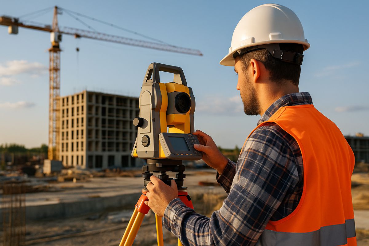
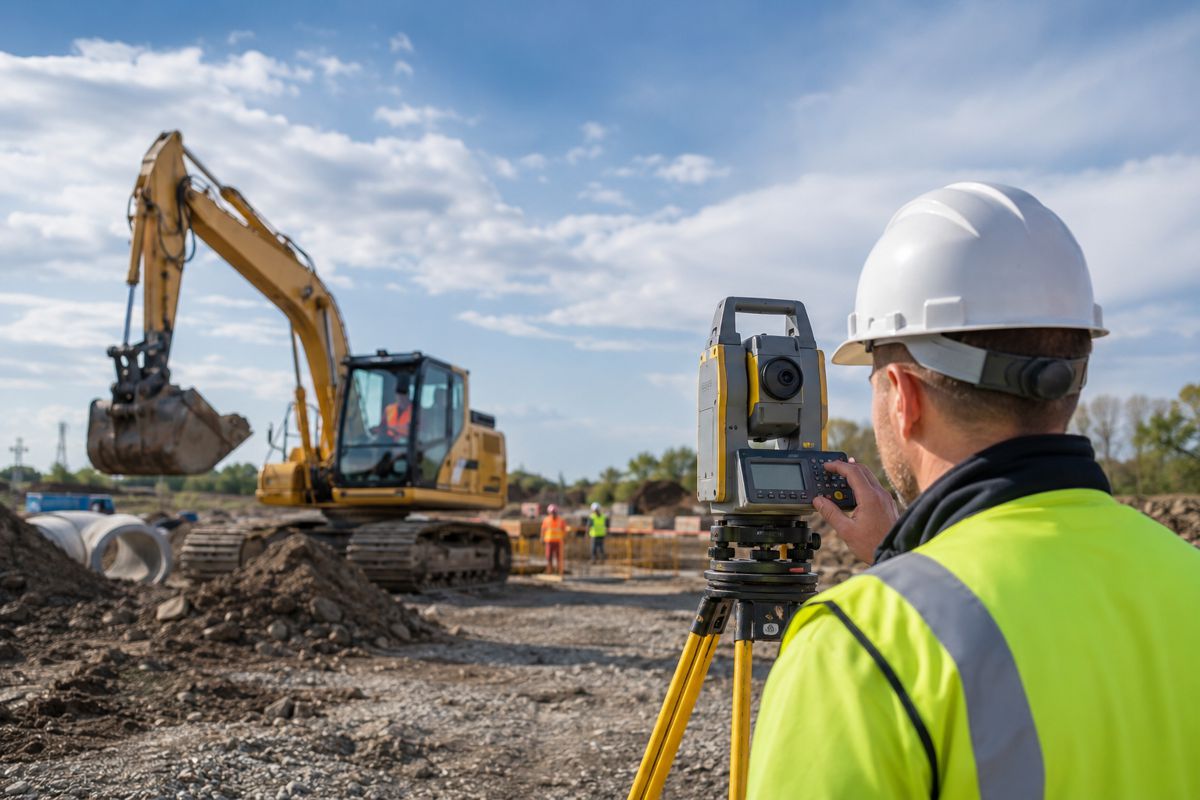
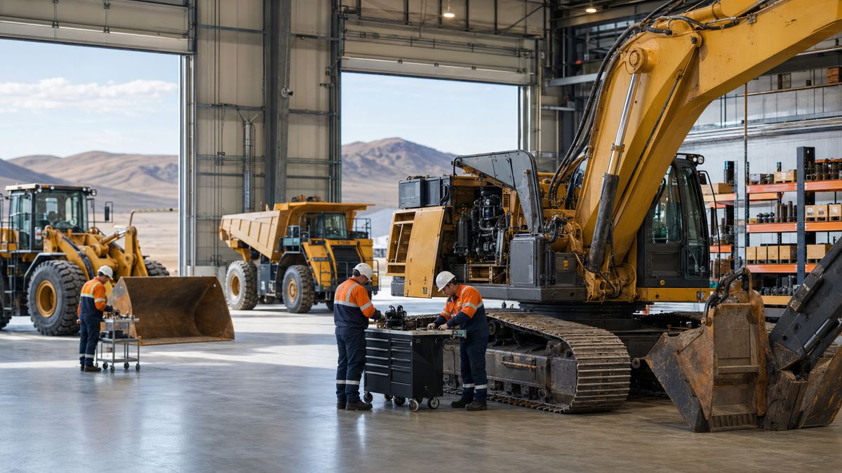
The Capture Reality Portfolio
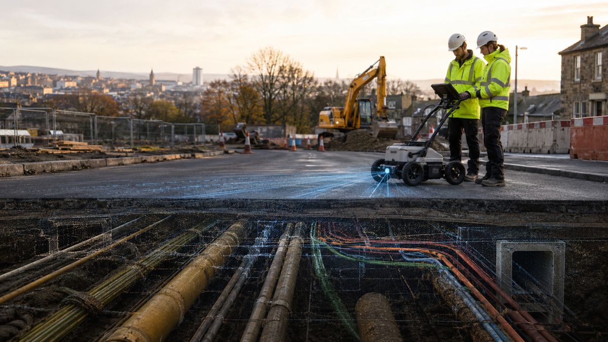
At the heart of Topcon’s geomatics offering lies its expanding Capture Reality portfolio. This includes solutions for reality capture, 3D scanning, and advanced modelling designed to deliver high-precision data for complex environments. By integrating field-captured data with intelligent software platforms, the portfolio enables users to streamline workflows, enhance accuracy, and gain insights faster.
Reality capture is one of the fastest-growing segments of the geomatics industry, with applications across construction, infrastructure monitoring, heritage preservation, mining, and urban planning. Topcon’s solutions aim to make this technology more accessible and scalable, ensuring that professionals and organisations of all sizes can harness its potential.
Spotlight at INTERGEO 2025
The international geomatics community will see these innovations first-hand at INTERGEO 2025, the leading trade fair for geodesy, geoinformation, and land management, taking place in Germany from 7–9 October. Topcon’s dedicated geomatics division will showcase the Capture Reality portfolio alongside its wider suite of technologies.
INTERGEO is widely regarded as the benchmark event for the global geospatial sector, attracting experts, policymakers, and technology providers. Topcon’s presence at the event reinforces its ambition to lead in shaping the next chapter of geomatics.
A Growing Market
The global geomatics market is expanding rapidly, driven by demand for precise geospatial data in areas such as smart infrastructure, autonomous navigation, environmental monitoring, and digital twins. According to industry analysts, the market is expected to grow steadily over the next decade, fuelled by increased adoption of location-based services, 5G networks, and AI-powered analytics.
Governments and enterprises alike are investing heavily in geospatial infrastructure. From national mapping agencies digitising their datasets to private companies leveraging geospatial intelligence for logistics optimisation, the applications are multiplying.
Topcon’s decision to elevate geomatics into a global business unit comes at a time when the demand for high-quality spatial data is exploding. The move aligns with global trends in digitisation and positions the company to capture growth across multiple industries.
Topcon’s Innovation Legacy
Topcon Positioning Systems, headquartered in Livermore, California, has long been at the forefront of precision technologies. Its solutions have transformed workflows in construction, agriculture, and surveying, making it a trusted partner for professionals worldwide. With its parent company Topcon Corporation based in Tokyo since 1932, the brand has built a reputation for innovation, reliability, and global reach.
The company’s European base in Zoetermeer, Netherlands, further underscores its global outlook, ensuring that it can cater to markets across different regions with tailored solutions.
A Vision for the Future
By investing in a dedicated geomatics division, Topcon is not just restructuring internally, it is sending a clear message to the industry. The company sees geomatics as a driver of digitalisation, bridging the gap between physical environments and data-driven decision-making.
With experienced leadership, cutting-edge solutions, and a growing market to serve, Topcon’s move signals confidence in the transformative power of geospatial intelligence.
Driving Progress with Spatial Intelligence
As the boundaries between industries blur, spatial intelligence is fast becoming a common denominator in tackling modern challenges. From building smarter cities to managing resources more efficiently, the ability to capture, analyse, and apply geospatial data is critical.
Topcon’s latest initiative demonstrates that geomatics is no longer a supporting role in these transformations but a central driver of progress.