Ouster and Fujifilm Bring Native Colour Vision to the Future of Physical AI
The race to build smarter machines has exposed a persistent weakness in modern perception systems. Autonomous vehicles, industrial robots, digital mapping platforms and intelligent infrastructure networks can now interpret depth with remarkable precision using lidar, yet they still struggle to combine that spatial awareness seamlessly with visual colour data. Traditional sensor stacks rely on separate cameras and lidar units working in parallel, often introducing calibration drift, timing inconsistencies and significant processing overhead.
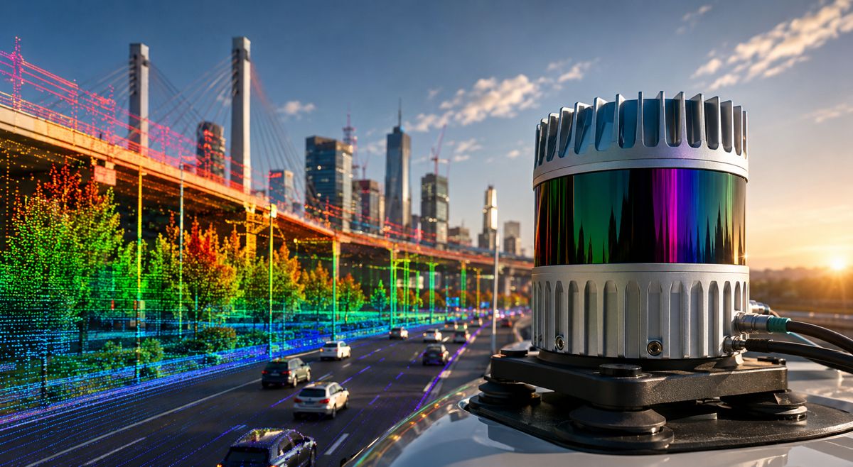
That technical bottleneck may now be shifting. Ouster has announced a collaboration with FUJIFILM Corporation to develop what the companies describe as the world’s first native colour lidar platform. The breakthrough centres around Ouster’s Rev8 OS family of digital lidar sensors, combining depth perception and colour imaging directly within a single silicon architecture rather than relying on separate hardware systems.
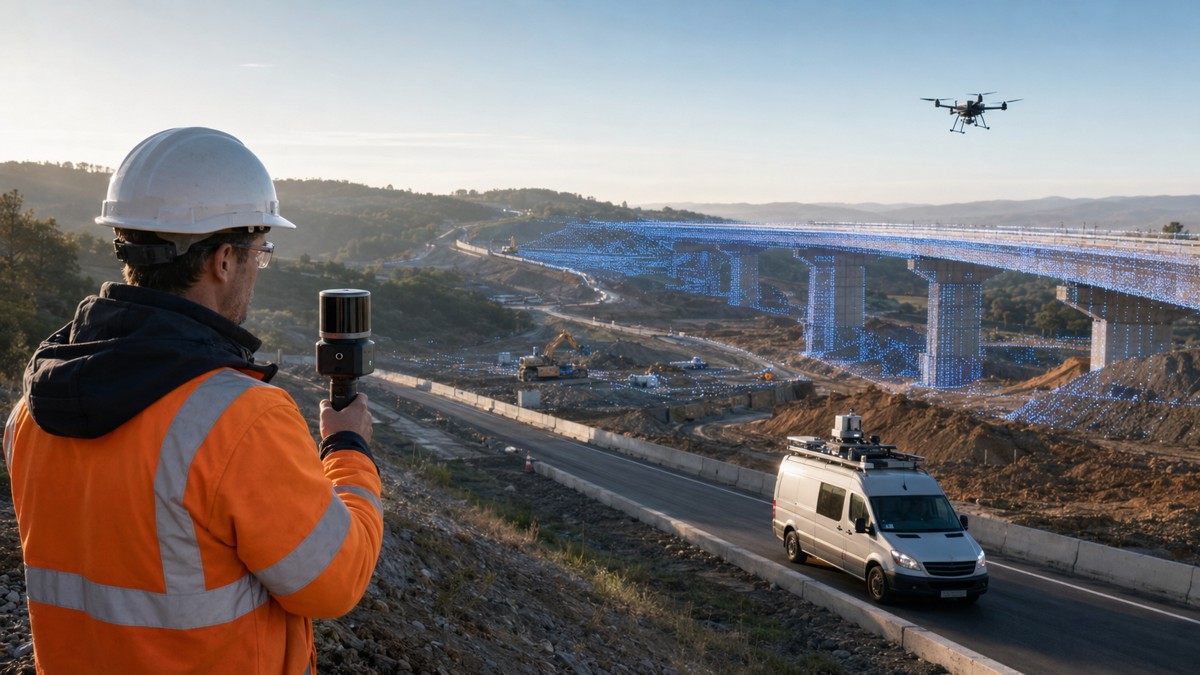
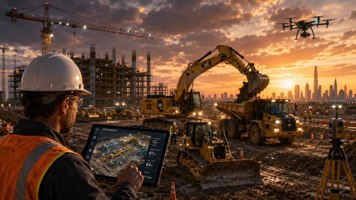
For infrastructure operators, robotics developers and industrial AI firms, the significance stretches well beyond improved image quality. Physical AI systems increasingly depend on enormous volumes of precisely aligned environmental data to train models capable of understanding and navigating real-world conditions. As industries move toward autonomous inspection, intelligent traffic systems, digital twins and AI-enabled construction equipment, perception accuracy has become commercially critical.
The collaboration signals a broader transition underway across the industrial technology sector. Sensors are no longer being treated as isolated components. Instead, they are evolving into tightly integrated perception platforms capable of delivering richer contextual awareness with lower system complexity. That shift could reshape everything from road infrastructure monitoring to autonomous logistics and smart city operations.
Briefing
- Ouster and Fujifilm have collaborated on what is described as the world’s first native colour lidar platform
- The Rev8 lidar system integrates colour sensing directly into lidar silicon architecture
- Native colour lidar removes the need for separate camera and lidar calibration workflows
- The technology is aimed at Physical AI applications including robotics, mapping and smart infrastructure
- The platform could significantly improve training datasets for AI world models and autonomous systems
The Growing Demands of Physical AI
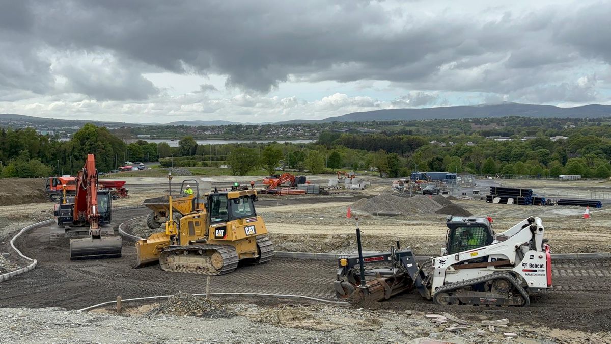
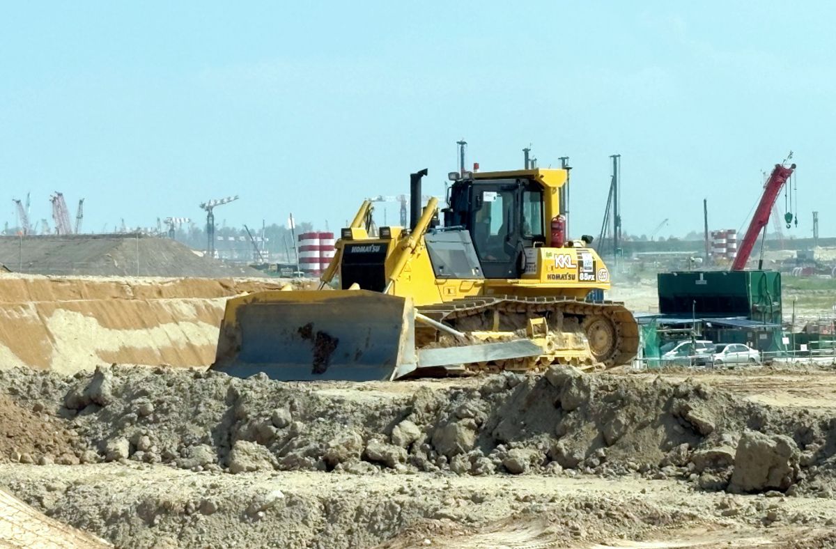
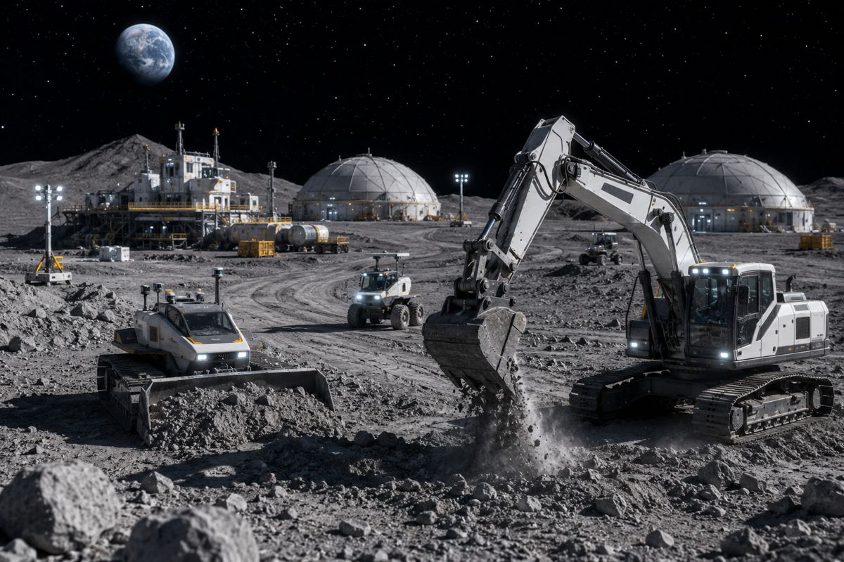
Artificial intelligence is increasingly leaving the digital world behind and entering physical environments. Warehouses now deploy autonomous mobile robots, ports are introducing AI-guided logistics systems, and construction firms are experimenting with autonomous plant equipment capable of operating in hazardous or remote environments.
These systems depend on environmental understanding that mirrors human perception as closely as possible. Cameras provide colour and texture but struggle with precise depth measurement under difficult lighting conditions. Lidar excels at generating accurate three-dimensional geometry but traditionally lacks detailed colour information.
The result has been complex sensor fusion architectures requiring substantial computing resources and constant calibration maintenance. Even small temporal or spatial mismatches between sensors can create inconsistencies that undermine object recognition, navigation accuracy and AI model reliability.
Research organisations including the Massachusetts Institute of Technology and the Fraunhofer Society have repeatedly highlighted the importance of multimodal sensing for next-generation robotics and autonomous mobility systems. The industrial sector, meanwhile, has been searching for ways to reduce perception stack complexity without sacrificing performance. Ouster’s latest approach attempts to address both challenges simultaneously.
Reengineering Lidar Beyond Depth Perception
Traditional lidar systems generate highly accurate point clouds by measuring the time it takes laser pulses to reflect back from surrounding objects. While exceptionally effective at mapping geometry, the resulting datasets often appear visually sparse or monochromatic without additional camera overlays.
Ouster’s Rev8 architecture changes that equation by embedding colour sensing directly into the lidar silicon itself. According to the company, both colour and depth are captured and processed using a shared ASIC, optics system and timing structure, eliminating many of the alignment issues associated with external cameras.
The implications for perception quality are substantial. Instead of stitching together independent camera feeds and lidar scans after capture, the system generates inherently synchronised colourised point clouds. Spatial positioning, colour fidelity and timing remain aligned because the information originates from the same sensor platform rather than separate devices.
This native integration also introduces hardware-enabled HDR functionality designed to improve perception performance across challenging lighting conditions commonly encountered in industrial environments, transport corridors and outdoor infrastructure applications.
For sectors operating around-the-clock, including mining, ports, highways and rail systems, consistent sensing across varying environmental conditions remains a major operational requirement.
Fujifilm’s Unlikely Role in Industrial AI
While Fujifilm is globally recognised for imaging and photography technologies, its contribution to semiconductor materials and colour science has become increasingly influential in advanced sensing systems.
According to Ouster, the collaboration began during the earliest prototype stages of Rev8 development. Fujifilm provided access to specialised organic colour filters typically reserved for semiconductor manufacturing applications, enabling Ouster engineers to integrate colour sensing directly into the lidar architecture itself.
The companies worked together to optimise spectral performance at the silicon level, ensuring accurate colour reproduction without interfering with active lidar measurements. This is particularly important because lidar systems rely on emitted laser signals that can potentially create interference issues within conventional imaging pipelines.
“Color accuracy and consistency are foundational for perception systems,” said Yoshinori Taguchi, Global Business Director, Wave Control MosaicTM at FUJIFILM Electronic Materials Co., Ltd. “We look forward to Fujifilm’s color science contributing to value creation across various fields – including mapping, robotics, and AI applications – through Ouster’s digital lidar architecture.”
The partnership also reflects a broader convergence taking place between imaging science and industrial automation. Companies traditionally associated with photography, optics and semiconductor materials are increasingly finding themselves at the centre of AI infrastructure development.
Simplifying Sensor Architectures
One of the less glamorous but commercially important aspects of autonomous systems development lies in calibration.
Current perception stacks often require painstaking alignment between multiple cameras, lidar units, radar systems and inertial sensors. Maintaining that calibration over long operational periods can become both expensive and technically challenging, particularly for equipment exposed to vibration, weather extremes or heavy industrial use.
Construction machinery, mining trucks and roadside infrastructure installations all present difficult operating environments where sensor drift can gradually degrade system accuracy.
Ouster argues that consolidating colour and depth sensing into a single platform can significantly reduce integration overhead. By eliminating separate camera calibration workflows, developers may be able to shorten deployment timelines while simplifying mechanical and electrical system design.
That reduction in complexity could prove especially valuable for smart infrastructure deployments where maintenance accessibility is limited.
Across highways, tunnels and urban mobility systems, transport authorities are increasingly deploying roadside sensing networks to support traffic analytics, autonomous vehicle operations, incident detection and digital twin modelling. Simplified sensor architectures may reduce long-term operational costs while improving reliability.
Mapping and Digital Twins Gain Momentum
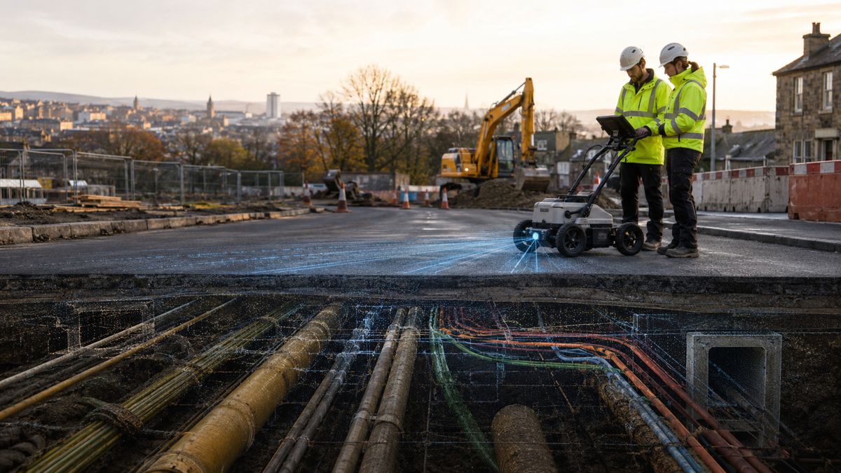
The announcement also arrives during rapid expansion in global digital twin adoption. Governments and infrastructure operators worldwide are investing heavily in high-fidelity digital representations of roads, railways, utilities and urban assets. These models increasingly rely on lidar-generated point clouds to capture accurate spatial geometry.
Adding native colour data directly into those datasets could accelerate the creation of more realistic and context-rich digital environments.
In Europe, programmes linked to the European Commission have continued funding smart infrastructure and digital twin initiatives aimed at improving urban resilience and transport efficiency. Meanwhile, major contractors across Asia and the Middle East are investing in AI-assisted mapping systems for megaproject development.
Colourised lidar may improve object classification, asset identification and infrastructure condition monitoring, particularly in large-scale transport environments where accurate contextual information is essential.
For example, AI systems analysing roadway deterioration or rail infrastructure defects may benefit from simultaneously understanding surface geometry and material colour variations within a single synchronised dataset.
Building Better AI World Models
Perhaps the most strategically important aspect of native colour lidar lies in AI training. Modern Physical AI systems increasingly rely on massive datasets to train world models capable of interpreting complex environments. These datasets must contain both accurate geometry and contextual visual information to enable reliable decision-making.
Ouster states that Rev8 native colour lidar can generate the rich three-dimensional colour datasets required for next-generation AI development. Because colour and depth originate from the same sensor source, the resulting datasets avoid many of the inconsistencies that plague traditional multimodal training pipelines. This could become particularly valuable in robotics.
Autonomous machines operating in industrial or public environments need stable long-term perception performance to avoid operational degradation over time. Poorly synchronised sensor systems can create subtle errors that gradually affect classification accuracy and navigation reliability.
“Our collaboration with Fujifilm enabled us to bridge the gap between 3D sensing and high-fidelity imaging through pure physics,” said Ouster Optical Engineer Martin Millischer. “By integrating their legendary color expertise at the silicon level, we’ve created a sensor that captures the world exactly as it is: spatially accurate and chromatically rich.”
As AI systems become more deeply integrated into physical infrastructure, demand for higher-quality environmental datasets is expected to grow dramatically.
Smart Infrastructure Becomes More Perceptive
The timing of the announcement aligns closely with wider trends across intelligent infrastructure development.
Road operators are deploying AI-powered traffic monitoring. Rail networks are introducing automated inspection systems. Ports and airports are expanding autonomous logistics operations. Utility providers are investing in intelligent monitoring systems capable of identifying failures before they escalate into outages.
All of these systems rely heavily on environmental perception.
In many cases, lidar has already become a core sensing technology due to its ability to generate accurate spatial awareness regardless of ambient lighting conditions. Adding native colour perception directly into these platforms may enhance situational understanding while reducing infrastructure complexity.
For smart cities and transport agencies, the commercial appeal lies not merely in better sensors but in scalable deployment.
Reducing calibration requirements, integration challenges and compute overhead could lower barriers to deploying large-scale sensing networks across urban infrastructure environments. That becomes increasingly important as governments worldwide attempt to modernise ageing transport and utility systems while simultaneously supporting autonomous mobility initiatives.
The Sensor Race is Entering a New Phase
The global sensing market is evolving rapidly as AI systems move from experimental environments into real-world industrial deployment.
Competition is no longer centred solely on resolution, range or scanning frequency. Increasingly, sensor manufacturers are competing on integration efficiency, data richness and AI readiness. Native colour lidar represents a notable step in that direction.
Rather than treating cameras and lidar as separate technologies requiring post-processing fusion, Ouster’s approach suggests the industry may be moving toward unified perception architectures capable of delivering more coherent environmental understanding directly from the hardware layer.
That transition could eventually influence robotics, automated construction, smart infrastructure and autonomous mobility far beyond the current generation of perception systems. The machines shaping tomorrow’s infrastructure are learning not just to measure the world, but to see it properly.