Aeva Expands AI Powered Traffic Intelligence Across Atlanta Intersections
The push towards smarter, safer and more responsive road networks has taken another step forward as Aeva secures a significant deployment with the Georgia Department of Transportation. The rollout of its CityOS intelligent transportation platform across 30 additional intersections in the greater Atlanta area signals a broader shift in how cities are approaching traffic management, safety and infrastructure intelligence.
Rather than relying on fragmented legacy systems, transportation agencies are increasingly turning to integrated sensing and analytics platforms capable of delivering real-time situational awareness. In a city like Atlanta, where dense traffic flows intersect with high pedestrian activity, the need for continuous, data-driven oversight is not just desirable, it is essential. This latest expansion builds on earlier deployments around Centennial Olympic Park and the Georgia World Congress Center, areas known for their intense mix of tourism, events and urban mobility pressures.
The significance of this project extends well beyond a single metropolitan rollout. It reflects a growing recognition that traditional traffic control systems are struggling to keep pace with modern urban demands. With increasing congestion, rising pedestrian risk and the complexity of multimodal transport networks, infrastructure must evolve into something far more adaptive and intelligent. The Atlanta deployment offers a glimpse of that transition, where roads begin to function less as static assets and more as responsive digital systems.
Briefing
- Aeva is expanding its CityOS platform to 30 new intersections in Atlanta
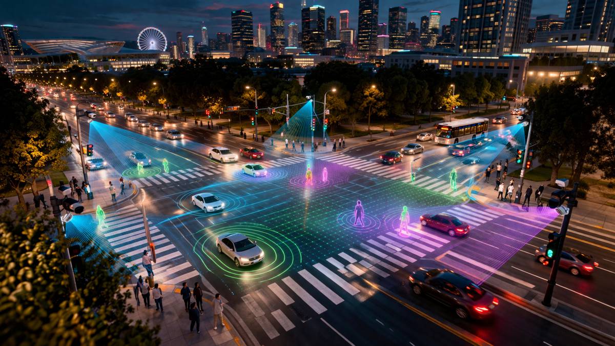
- The system uses 4D LiDAR and AI to monitor vehicles, pedestrians and cyclists in real time
- Deployment builds on earlier success in high-density pedestrian zones
- Technology offers advantages over cameras and radar, including privacy and reliability in all lighting
- Marks one of the largest LiDAR-based ITS deployments in the United States
Scaling Intelligent Infrastructure in High Demand Urban Corridors
Urban transport networks are under increasing strain, particularly in cities experiencing population growth, tourism surges and expanding economic activity. Atlanta exemplifies these pressures, acting as a major logistics hub in the southeastern United States while also hosting large-scale events that generate unpredictable spikes in mobility demand.
By extending CityOS across multiple intersections, the Georgia Department of Transportation is effectively creating a connected network of intelligent nodes capable of monitoring and responding to real-world conditions in real time. This is not simply about managing traffic signals more efficiently. It is about building a digital layer over physical infrastructure, enabling continuous feedback between road users and the system itself.
The earlier deployment around Centennial Olympic Park served as a proving ground. With heavy pedestrian flows, frequent event-driven congestion and complex vehicle interactions, the area provided a challenging environment to test the limits of sensing and analytics technologies. The results appear to have validated the approach, leading to this broader rollout across the city.
From a commercial perspective, this expansion highlights a key inflection point. Intelligent transportation systems are moving from pilot projects to scalable infrastructure investments. For technology providers, this shift opens the door to long-term partnerships with public agencies. For cities, it represents an opportunity to future-proof infrastructure against rising demand and evolving mobility patterns.
How 4D LiDAR Is Redefining Traffic Awareness
At the core of Aeva’s platform is its use of 4D LiDAR, a sensing technology that captures both the position and velocity of objects simultaneously. This capability sets it apart from conventional systems, which typically rely on separate data sources to infer movement.
Each intersection is equipped with Atlas Orion sensors, designed to provide full-area coverage without blind spots. These sensors use Frequency Modulated Continuous Wave technology to generate precise measurements of distance and speed, allowing the system to track vehicles, pedestrians and cyclists with a high degree of accuracy.
This level of detail matters. In complex urban environments, the difference between detecting a stationary object and understanding its trajectory can determine how effectively a system responds. Whether identifying a pedestrian stepping into a crossing or a vehicle approaching at speed, the ability to interpret movement in real time enhances both safety and operational efficiency.
Beyond technical performance, reliability is a defining factor. Unlike camera-based systems, which can struggle in poor lighting or adverse weather, LiDAR maintains consistent performance regardless of conditions. From bright sunlight to complete darkness, the system continues to deliver accurate data, reducing the risk of blind spots or misinterpretation.
Moving Beyond Cameras and Legacy Detection Systems
Traditional traffic monitoring technologies have served cities for decades, but their limitations are becoming increasingly apparent. Cameras depend heavily on lighting conditions and raise privacy concerns due to their reliance on identifiable imagery. Radar systems, while robust, often lack the resolution needed for detailed object classification. Inductive loops, embedded in road surfaces, provide only limited point-based data and require disruptive installation and maintenance.
The introduction of LiDAR-based systems addresses many of these shortcomings. By generating detailed three-dimensional maps of the environment without capturing identifiable visual data, LiDAR offers a privacy-conscious alternative that aligns with evolving regulatory expectations. This is particularly relevant as cities face growing scrutiny over data collection and surveillance practices.
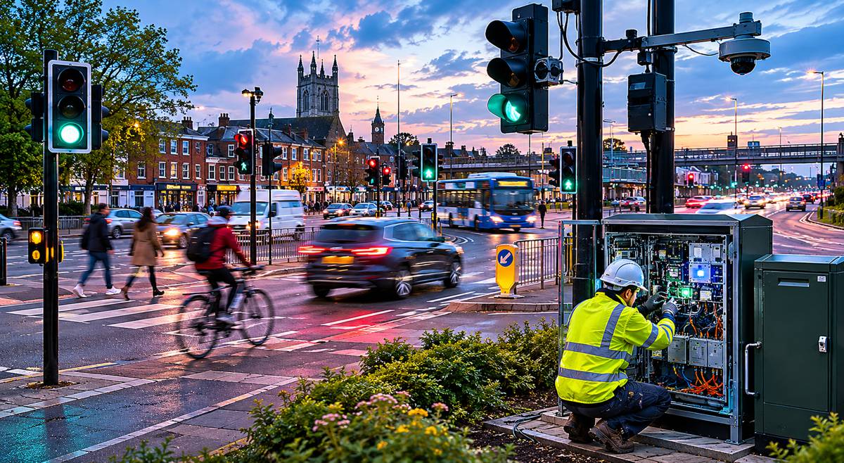
Moreover, the integration of edge AI allows for immediate processing of sensor data at the intersection level. Instead of sending raw data to central servers, the system interprets and acts on information locally, reducing latency and enabling faster responses. This decentralised approach is critical for applications such as wrong-way driving detection or pedestrian safety alerts, where milliseconds can make a difference.
The transition away from legacy systems is not instantaneous, but projects like Atlanta’s demonstrate how new technologies can be layered onto existing infrastructure. Over time, this hybrid approach can evolve into fully integrated smart networks capable of managing traffic dynamically.
Improving Safety for Vulnerable Road Users
Road safety remains one of the most pressing challenges in urban transport. According to the World Health Organization, road traffic injuries claim approximately 1.19 million lives globally each year, with pedestrians and cyclists among the most vulnerable groups.
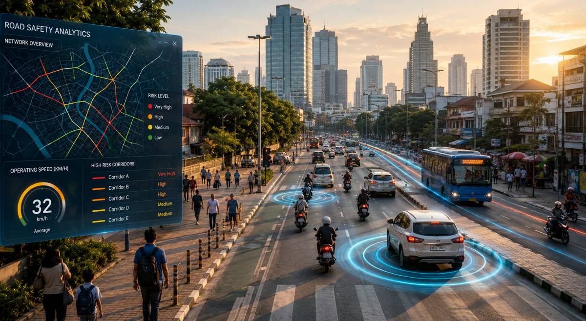
The ability to monitor and analyse the behaviour of all road users in real time offers a powerful tool for reducing risk. CityOS enables continuous tracking of pedestrian crossings, cyclist movements and vehicle interactions, providing insights that can inform both immediate interventions and long-term planning decisions.
For instance, identifying patterns of near-misses at specific intersections can lead to targeted infrastructure improvements, such as redesigned crossings or adjusted signal timings. Similarly, detecting frequent instances of wrong-way driving can prompt enforcement measures or physical changes to road layouts.
In high-density areas like those surrounding major event venues, these capabilities become even more critical. The combination of large crowds, unfamiliar visitors and complex traffic patterns creates conditions where traditional systems may fall short. Intelligent sensing provides an additional layer of oversight, helping to mitigate risks before they escalate.
Data Driven Decision Making for Modern Cities
Beyond immediate safety applications, the value of intelligent transportation systems lies in their ability to generate actionable data. Continuous monitoring produces a rich dataset that can be analysed to understand traffic trends, optimise signal timings and improve overall network efficiency.
This data-driven approach aligns with broader trends in urban planning, where cities are increasingly adopting digital tools to inform decision-making. From congestion management to infrastructure investment, access to accurate, real-time information enables more informed and effective strategies.
In Atlanta’s case, the expansion of CityOS creates a foundation for ongoing optimisation. As more intersections are connected, the system gains a more comprehensive view of the network, allowing for coordinated responses across multiple locations. This network effect enhances the overall impact of the deployment, transforming individual intersections into components of a larger, intelligent system.
This represents a shift in how infrastructure value is measured. Rather than focusing solely on physical assets, attention is turning to the data and capabilities those assets can generate. Intelligent systems are no longer an optional upgrade. They are becoming a core component of modern infrastructure planning.
From Pilot Projects to Scalable Urban Systems
The Atlanta deployment stands out not only for its scale but also for what it represents in the evolution of intelligent transportation. Early smart city initiatives often struggled to move beyond isolated pilots, limited by cost, complexity or uncertain returns on investment.
This project suggests that those barriers are beginning to fall. Advances in sensor technology, combined with more mature AI capabilities, are making it feasible to deploy intelligent systems at scale. At the same time, the growing urgency of urban challenges is driving demand for solutions that can deliver measurable improvements in safety and efficiency.
Aeva’s broader strategy reflects this trend, with applications spanning automated driving, industrial automation and robotics. The convergence of these sectors highlights the versatility of perception technologies and their potential to reshape multiple industries.
For the construction and infrastructure sectors, the implications are significant. As intelligent systems become embedded in road networks, the design, build and maintenance of infrastructure will need to adapt. Digital capabilities will become as important as physical durability, influencing everything from project specifications to long-term asset management.
Building the Foundations of Smarter Mobility
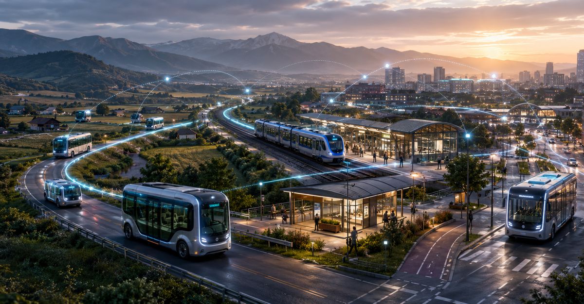
The expansion of CityOS across Atlanta’s intersections marks a clear step towards a more connected and responsive urban transport system. It demonstrates how advanced sensing and AI can be integrated into existing infrastructure to address real-world challenges, from pedestrian safety to traffic congestion.
As cities around the world grapple with similar issues, the lessons from Atlanta are likely to resonate widely. The transition to intelligent infrastructure is not a distant prospect. It is already underway, driven by the need for safer, more efficient and more adaptable transport networks.
For industry stakeholders, the message is straightforward. The future of infrastructure lies in its ability to sense, understand and respond. Projects like this are not just technological upgrades. They are redefining the role of infrastructure in modern society, turning roads into active participants in the mobility ecosystem rather than passive conduits.