Topcon and GreenValley Alliance Targets the Next Generation of Spatial Intelligence
The strategic agreement between Topcon Positioning Systems and GreenValley International signals a wider change in how geospatial technology is being developed and sold. Surveying is moving beyond individual instruments and desktop processing packages towards connected systems capable of capturing, interpreting and transferring spatial information with far less manual intervention.
The importance lies in the proposed combination of precise positioning, multi-platform LiDAR, artificial intelligence and cloud processing. If successfully integrated, these capabilities could shorten the journey from field capture to an engineering-ready output, making frequent 3D surveys and continuous asset monitoring more commercially practical.
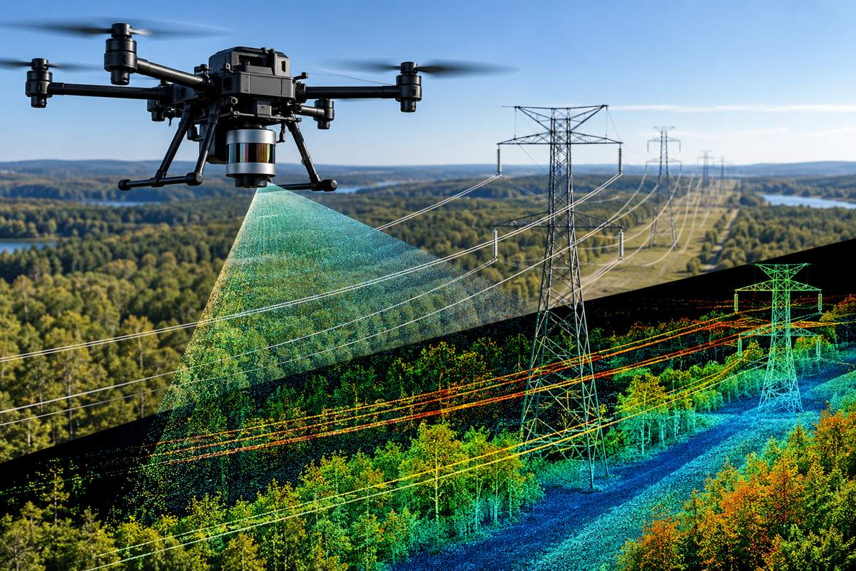
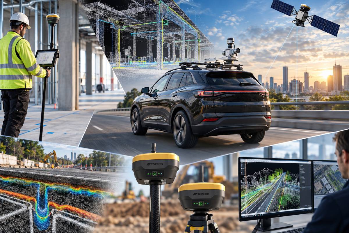
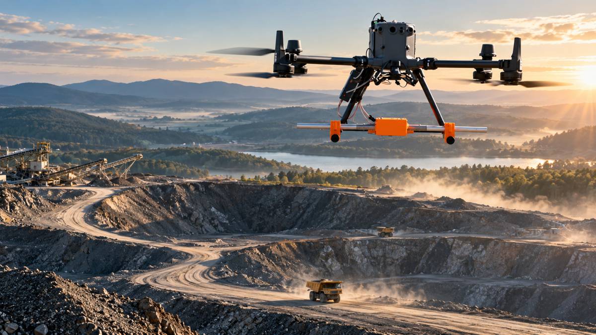
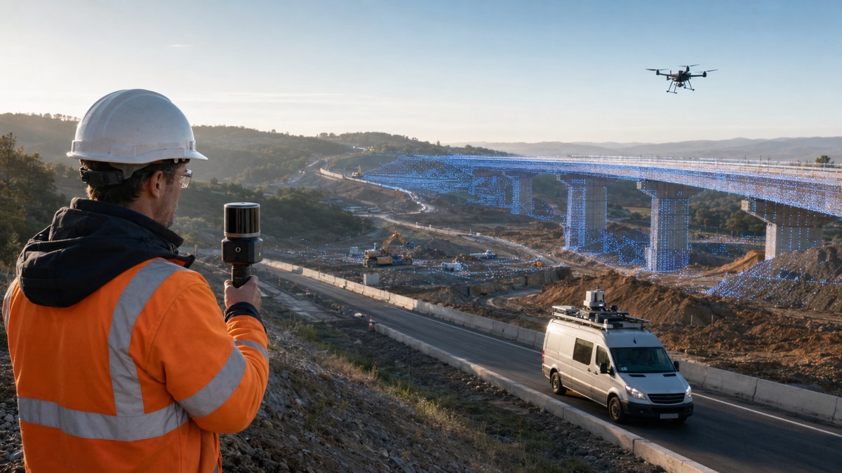
The companies plan to develop solutions spanning handheld, aerial and vehicle-mounted LiDAR, with further work covering robotics, autonomous monitoring and real-time cloud-based processing. This creates potential applications throughout the infrastructure lifecycle, from preliminary surveys and construction verification to road asset inventories, vegetation management and long-term structural monitoring.
Briefing
- Topcon and GreenValley International have entered a strategic agreement covering surveying, mapping, construction, forestry and other spatial intelligence applications.
- Planned developments include integrated hardware and software for handheld, aerial and mobile LiDAR capture and processing.
- Joint research will focus on AI-assisted point-cloud classification, automated feature extraction, multi-sensor integration and workflow automation.
- The collaboration is expected to extend into robotic surveying, autonomous monitoring and real-time cloud data processing and transfer.
- The agreement was announced during the Esri User Conference in San Diego, held from 13 to 17 July 2026.
Joining Positioning and LiDAR Expertise
The commercial logic rests on the complementary positions occupied by the two companies. Topcon has an established presence in construction positioning, machine control, surveying, agriculture and geomatics. GreenValley International, headquartered in Berkeley, California, supplies aerial, handheld, backpack and mobile LiDAR systems alongside point-cloud processing software and cloud-based spatial intelligence tools.
Bringing those capabilities together could allow both businesses to address a larger portion of the geospatial workflow. Instead of supplying isolated components that customers must connect through several software packages and conversion processes, the alliance intends to develop workflows in which positioning, sensing, processing and delivery are designed to operate together.
This approach reflects the increasing commercial value of interoperability. Survey companies and contractors commonly work with data gathered from total stations, GNSS receivers, laser scanners, drones, mobile mapping systems and machine-control platforms. Although each technology may be effective independently, productivity can be lost when data must be repeatedly exported, cleaned, reformatted and checked before it becomes usable elsewhere.
Topcon already provides software that combines mobile mapping, static scanning, BIM, CAD and GIS information within shared point-cloud environments. GreenValley’s portfolio adds a broad range of capture platforms and its LiDAR360 processing environment. The agreement does not yet specify individual products or release dates, but it establishes a foundation for tighter integration between these technology families.
Turning Point Clouds into Usable Information
LiDAR instruments can generate millions of three-dimensional measurements in a short period. Capturing those points is only the beginning of the task. The greater operational challenge is converting a dense point cloud into identifiable surfaces, assets and engineering features that can inform a decision.
Road authorities may need lane markings, kerbs, barriers, signs, drainage features, overhead cables and pavement surfaces separated into distinct classes. Forestry professionals may need terrain models beneath vegetation, individual tree measurements or clearance information. Construction teams may be looking for deviations from design, excavation volumes or evidence that installed work meets the required geometry.
Much of this processing has traditionally required specialist knowledge and a combination of automated filtering and manual correction. Standards remain important because classifications, coordinate systems, metadata and accuracy statements must be consistent if the resulting information is to support engineering or regulatory decisions. The American Society for Photogrammetry and Remote Sensing continues to maintain specifications covering LAS point-cloud data and positional accuracy, demonstrating that automation does not remove the need for disciplined data management.
Topcon and GreenValley intend to apply emerging AI technologies to this processing burden. Ron Oberlander, head of Topcon Geomatics and Construction Platforms, said: “Collaborating with GreenValley allows us to combine the strengths of both organizations and deliver simpler, more efficient workflows to more professionals. By advancing joint research and integrating emerging AI technologies into spatial solutions, we aim to help users collect, process, and apply data more effectively, even in remote and challenging environments.”
Automated Extraction Changes the Economics
Automated feature extraction may prove to be one of the most commercially important elements of the agreement. A point cloud becomes considerably more valuable once software can reliably distinguish roads, structures, utilities, trees, vehicles, ground surfaces and other objects. Those classifications can then be converted into GIS layers, digital terrain models, asset records or inputs for engineering design.
Geospatial AI is already capable of recognising features in imagery and point clouds. Esri, for example, provides pretrained deep-learning models that can identify shapes and patterns and extract geographical features such as roads and building footprints. Its work also illustrates how cloud-hosted imagery and automated extraction can reduce the manual effort involved in producing foundational GIS data.
The proposed Topcon-GVI development programme could bring similar capabilities closer to the instruments and field workflows used by contractors and surveyors. Rather than returning from site with an unprocessed dataset requiring extensive office work, crews could eventually obtain preliminary classifications or quality indicators while capture is still under way.
This would help organisations discover gaps, poor coverage or sensor problems before personnel and equipment leave the site. It could also shorten the interval between a survey being commissioned and the resulting information reaching an estimator, designer, project manager or asset owner.
Cody McColl, North American operations manager with GreenValley International, outlined the intended technical direction: “This alliance unites GVI’s spatial intelligence expertise with Topcon’s precise positioning technologies to deliver next-generation solutions for the global geospatial community. Together, we are focused on developing AI-enhanced point cloud processing, including automated feature extraction and classification, multi-sensor integration, and intelligent workflow automation to help users collect, process, and maximize the value of geospatial data.”
One Workflow Across Multiple Capture Platforms
The inclusion of handheld, aerial and mobile LiDAR is strategically significant because no single survey platform suits every environment. Vehicle-mounted systems can efficiently collect road corridors and urban networks. Drones can reach embankments, stockpiles, quarries, bridges and inaccessible land, while handheld or backpack scanners are useful around structures, inside buildings and in confined or heavily obstructed locations.
Infrastructure projects frequently require more than one of these methods. A highway improvement scheme might combine vehicle-based corridor mapping with drone surveys of earthworks and handheld scans around culverts or bridge components. If these datasets can be aligned, processed and classified through a consistent workflow, the project gains a more complete spatial record without creating separate information silos.
Accurate positioning is essential when combining data from different sensors and times. A detailed scan that is poorly located within the project coordinate system has limited engineering value. Topcon’s positioning capabilities could therefore provide an important framework for bringing GVI’s various LiDAR systems into shared, georeferenced project environments.
Multi-sensor integration will also extend beyond LiDAR. Cameras can add colour and visual context, GNSS and inertial systems establish position and orientation, and simultaneous localisation and mapping technology can support capture where satellite reception is obstructed. The technical challenge is to make these inputs work together while preserving traceability and measurable accuracy.
From Periodic Surveys to Autonomous Monitoring
The reference to robotic systems and autonomous monitoring broadens the agreement beyond conventional surveying. Construction sites, industrial facilities and infrastructure corridors are increasingly being observed by remotely operated or autonomous platforms. These may include drones, ground robots, fixed scanners or sensor stations programmed to revisit the same location at regular intervals.
Repeated capture can reveal movement, deformation, material accumulation, vegetation encroachment or deviations from design. On a construction project, this could support progress measurement and quantity verification. For an infrastructure owner, it could provide a more current record of an asset’s condition and highlight areas requiring professional inspection.
Automation has particular value in remote, hazardous or repetitive environments. Surveying beside live traffic, around unstable ground or within industrial facilities exposes personnel to operational risks and can require closures or access restrictions. Mobile scanning already allows some road information to be collected at traffic speeds, reducing the need to place survey teams in the carriageway.
Autonomous monitoring could extend this principle by separating routine data capture from specialist interpretation. Skilled surveyors and engineers would remain responsible for defining accuracy requirements, validating outputs and deciding what the information means, but they would spend less time repeatedly collecting the same measurements.
Cloud Processing Moves Decisions Closer to the Field
Real-time cloud processing and transfer is another important part of the planned development programme. Point clouds are large, computationally demanding datasets, and moving them between field devices, local storage and office systems can create delays. Cloud-connected workflows offer a route to processing, sharing and reviewing information before a field operation is complete.
The practical benefit is not simply faster file transfer. A cloud platform can give distributed teams access to a common dataset, allowing surveyors, designers, construction managers and clients to review emerging information without waiting for physical media or a fully completed office workflow. This is particularly relevant to international projects and remote infrastructure programmes where field and engineering teams may operate in different countries.
Cloud processing can also provide scalable computing capacity for AI classification and feature extraction. Rather than requiring every survey company or contractor to maintain high-performance local hardware, demanding tasks could be handled through managed processing services. That may lower the initial barrier to advanced point-cloud analysis, although commercial terms, connectivity and data-governance requirements will strongly influence adoption.
Remote regions present an additional challenge because reliable broadband cannot be assumed. Effective systems will need to accommodate interrupted connections, selective uploads and processing at the edge. The agreement’s emphasis on remote and challenging environments suggests that resilient data management will be as important as raw processing speed.
Construction Becomes a Spatial Data Consumer
The alliance also reflects a change in the role of spatial information within construction. Survey data was once treated mainly as a specialist input at defined project stages. It is now becoming a continuous operational resource used for estimating, design coordination, machine guidance, progress measurement, verification and asset handover.
A more automated workflow could make frequent capture economically viable on projects that cannot support a large in-house geomatics team. Smaller contractors could use guided data-collection processes, while specialist surveyors concentrate on control, validation and higher-value analysis. Asset owners could request structured, reusable information instead of receiving a collection of drawings and disconnected scan files at completion.
The value increases when geospatial information can move into other construction systems. Classified terrain and asset data may inform BIM models, GIS platforms, digital twins, quantities and machine-control surfaces. Repeated scans can document change and provide evidence for payment assessments or quality assurance.
This also raises expectations around procurement. Buyers will need to examine more than headline scan rates or stated instrument accuracy. They must consider the complete workflow, including calibration, control, classification quality, interoperability, data ownership, support arrangements and the time required to produce a trusted deliverable.
Infrastructure Owners Gain a Longer-Term Record
For infrastructure owners, integrated spatial intelligence offers the prospect of a persistent and updateable representation of physical assets. Roads, bridges, utilities, railways and industrial facilities change through wear, maintenance, environmental conditions and adjacent development. Periodic 3D capture can document those changes more comprehensively than isolated inspections or manually updated records.
Mobile mapping is particularly relevant to transport networks because it can record pavement surfaces and roadside assets across long distances. GVI describes its vehicle-mounted LiDAR systems as supporting road maintenance, asset inventories, intelligent transportation, high-precision mapping and digital-twin applications. Combined with Topcon’s construction and positioning ecosystem, these capabilities could connect initial design and delivery data with operational asset management.
The longer-term opportunity is a spatial information chain extending from survey through construction and into maintenance. Achieving it will require consistent coordinates, open exchange formats and clear responsibility for keeping data current. A digital representation loses operational value if it cannot be trusted or if updates become too expensive.
Owners will therefore need to define the questions the data must answer. Capturing the maximum possible point density is not necessarily the most efficient strategy. A sustainable programme begins with the required decisions, accuracy and update frequency, followed by the most appropriate sensor and processing workflow.
Quality Assurance Remains Fundamental
AI can reduce repetitive processing, but it does not eliminate uncertainty. Classification models can perform differently across regions, surface types, weather conditions and sensor configurations. A model trained on one type of road environment may not identify every feature correctly when applied to unfamiliar vegetation, materials or infrastructure.
Engineering users will need confidence that automated outputs have been checked against defined tolerances. This requires transparent quality indicators, control points, version histories and procedures for human review. The most useful automation will identify uncertainty rather than conceal it, directing specialists towards features that require closer examination.
Responsibility also needs to remain clear when data passes through sensors, algorithms and cloud services supplied by different organisations. Contracts should establish who controls the original observations, who may use them to improve AI models, how long information is retained and what happens if a service is discontinued.
These considerations are especially important for utilities, transport networks and other critical infrastructure. Spatial datasets can reveal asset locations, site layouts and operational vulnerabilities. Cybersecurity, access control and regional data-storage requirements will need to form part of the workflow architecture from the outset.
Building a Broader Geospatial Platform
The agreement was announced at the Esri User Conference in San Diego, an appropriate setting given the growing convergence between surveying, GIS, reality capture and spatial AI. Data collected for an engineering purpose increasingly becomes part of a wider information environment used by planners, asset managers, environmental specialists and emergency services.
For Topcon, the relationship provides access to a broader family of LiDAR capture systems and specialist point-cloud technology. For GreenValley, collaboration with an established global positioning and construction technology provider may create routes into more contractors, survey practices, equipment ecosystems and infrastructure programmes.
The commercial outcome will depend on the products, integrations and service models that follow. Customers will look for evidence that the alliance reduces field time, processing effort and software complexity without compromising accuracy or restricting data portability. Compatibility with established GIS, CAD and BIM platforms will be central to that assessment.
Even at this early stage, the direction is clear. Geospatial competition is shifting from the performance of individual instruments towards the efficiency and intelligence of the entire data chain. The companies that can connect capture, positioning, interpretation and delivery will be better placed to serve construction and infrastructure organisations seeking continuously updated spatial information.
Spatial Intelligence Moves into Everyday Operations
Topcon and GreenValley are entering the partnership at a point when LiDAR is becoming more accessible, but the skills required to convert its output into dependable information remain scarce. Their proposed focus on automated processing and simplified workflows addresses that imbalance directly.
The alliance could make advanced 3D capture useful to a wider range of professionals without presenting automation as a substitute for geomatics expertise. Surveyors will remain central to control, accuracy and interpretation, while software assumes more of the repetitive classification and data-management workload.
For construction and infrastructure businesses, the strategic significance lies in reducing the delay between physical change and digital understanding. Faster, more connected spatial workflows can improve decisions during delivery, provide stronger evidence of completed work and create a better information base for decades of asset operation.
The next measure of progress will be the arrival of specific products and proven field workflows. If the planned integrations can work across platforms, accommodate existing data environments and produce traceable engineering outputs, the agreement could help move LiDAR from a specialist survey event into an everyday component of infrastructure management.
Key Industry Questions
- What is the main purpose of the Topcon and GreenValley agreement? The agreement establishes a framework for joint development across positioning, LiDAR capture, point-cloud processing, AI and cloud-connected spatial workflows. Its scope includes surveying, mapping, construction, forestry and related applications. Rather than focusing on a single instrument, the companies plan to connect handheld, aerial and mobile data collection with processing and interpretation. Future work is also expected to cover robotics and autonomous monitoring. No specific jointly developed products or commercial release dates were announced, so its immediate significance is strategic rather than a finished product launch.
- How could the alliance benefit construction contractors? Contractors could gain faster access to usable site information by reducing the processing between field capture and engineering analysis. Potential applications include earthwork quantities, progress measurement, as-built verification, logistics planning and comparison with design models. Connected workflows may also allow several capture methods to contribute to the same project record. The practical benefit will depend on accuracy, ease of use, interoperability and cost. Contractors should assess whether future solutions produce outputs that integrate with their existing estimating, BIM, CAD, GIS and machine-control systems.
- Will AI replace surveyors in LiDAR workflows? AI is more likely to change the allocation of work than remove the need for survey professionals. Algorithms can classify points, identify common features and flag changes across repeated surveys, reducing time spent on repetitive processing. Surveyors will still be needed to establish control, select appropriate capture methods, verify accuracy and determine whether outputs are suitable for their intended engineering purpose. Human oversight becomes particularly important where unusual structures, incomplete data or unfamiliar conditions may cause a model to misclassify features.
- Why is multi-sensor integration important? Different sensors contribute different parts of the spatial record. LiDAR captures three-dimensional geometry, cameras provide visual detail, GNSS establishes global position and inertial systems record movement and orientation. SLAM can support mapping where satellite signals are unavailable or unreliable. Integrating these sources can produce richer and more accurately located datasets, but only when timing, calibration and coordinate management are handled correctly. A unified workflow reduces the risk of inconsistencies arising when separate systems and software packages are connected manually.
- Where could autonomous monitoring be used in infrastructure? Autonomous monitoring could support construction sites, bridges, road corridors, quarries, industrial facilities, railways and remote utilities. Fixed scanners, drones or ground robots may revisit predefined locations to detect movement, deformation, material changes or vegetation encroachment. The technology is particularly useful where frequent manual surveys would be expensive, disruptive or hazardous. It does not automatically diagnose a defect, however. Engineers must establish meaningful thresholds, validate the observations and decide whether detected changes require maintenance, investigation or immediate intervention.
- What are the limitations of real-time cloud point-cloud processing? Cloud processing requires dependable data transfer, which can be difficult when point clouds are large or projects operate in remote locations. Upload time, subscription costs, cybersecurity and data-residency rules can also affect viability. Some workflows may therefore combine local or edge processing with selective cloud synchronisation. Organisations should establish what happens when connectivity is interrupted and whether raw data remains accessible outside the supplier’s platform. Cloud speed is useful, but resilience, ownership and long-term portability are equally important.
- How should infrastructure owners procure AI-assisted LiDAR systems? Procurement should begin with the required decision or deliverable, not the sensor specification. Owners should define accuracy, coverage, feature classes, update frequency, coordinate reference systems and quality-control requirements. Evaluations should consider the complete workflow, including training, calibration, automated classification, manual review, integration and data export. Contracts should also address ownership of raw and processed information, cybersecurity, algorithm updates and long-term access. A field trial using representative assets can reveal operational limitations that are not apparent from technical documentation.
- How can LiDAR support infrastructure digital twins? LiDAR can provide detailed, georeferenced geometry for creating or updating the physical representation within a digital twin. Repeated surveys can show how an asset changes during construction and operation, while classified features can populate GIS or asset-management records. LiDAR alone does not constitute a digital twin, because operational data, asset relationships, maintenance records and analytical models may also be required. Its principal contribution is a measurable spatial foundation against which designs, inspections and subsequent observations can be compared.
Strategic Takeaways
- The Topcon-GVI agreement reflects a market shift from standalone survey instruments towards integrated spatial data platforms covering capture, processing, analysis and delivery.
- AI-assisted feature extraction could reduce one of the largest cost and time burdens in LiDAR workflows, but engineering-grade use will continue to require traceable quality control.
- Combining handheld, aerial and mobile LiDAR would allow infrastructure organisations to maintain more complete spatial records across sites, structures and transport corridors.
- Autonomous capture and cloud processing could make frequent infrastructure monitoring commercially viable, particularly in remote, hazardous or operationally sensitive locations.
- Future procurement will increasingly be judged by interoperability, data ownership and lifecycle value rather than sensor specifications alone.
Main Title