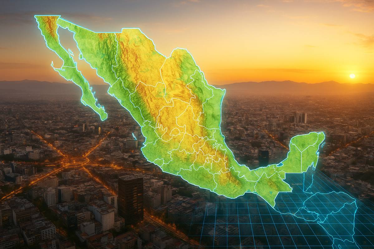
Esri MX Launches as Mexico’s New Geospatial Innovation Hub
Esri, the global leader in location intelligence, has unveiled Esri Mexico (Esri MX) as its new geospatial innovation centre for the country, taking over all products and services from its long-time distributor, Sistemas de Información Geográfica Sociedad Anónima (SIGSA).
This transition marks a significant milestone for Mexico’s geospatial industry, promising a new era of locally driven solutions and strategic growth.
Since its founding in 1980, SIGSA has been a driving force in Mexico’s geospatial evolution. The company’s legacy includes pioneering work in photogrammetry and cadastral mapping, alongside delivering advanced geographic information system (GIS) solutions to diverse sectors. By establishing Esri MX under local leadership, Esri aims to build on this foundation with greater agility and autonomy, addressing Mexico’s unique challenges head-on.
Jack Dangermond, Esri’s president, praised the collaboration: “SIGSA has been one of Esri’s most trusted and mission-driven collaborators. With the launch of Esri MX, we are building on a foundation of excellence and reaffirming our commitment to empowering communities, governments, and organisations across Mexico. Esri MX will carry forward the legacy of innovation and service with renewed focus and purpose.”
Local Leadership for Global Impact
Paola Salmán, who has steered Esri’s business within SIGSA for several years, now steps into the role of majority owner and CEO of Esri MX. Her leadership is expected to usher in expanded access to GIS technology, foster strategic partnerships, and spearhead impactful change across industries.
Salmán emphasised the significance of this transition: “This is a new chapter—one that honours the past while embracing the future. Esri MX is committed to locally tailored geospatial solutions that address Mexico’s most pressing challenges, from urban planning and environmental resilience to public safety and infrastructure development. Aligned with Esri’s values of science, service, and sustainability, we’re ready to keep mapping the future—together.”
SIGSA will continue to play an important role within Esri MX’s partner ecosystem, delivering sector-specific solutions and extending the reach of ArcGIS technology across Mexico’s varied industries.
A Strategic Vision for Mexico’s GIS Future
Esri MX is poised to become a key innovation hub for the nation’s geospatial capabilities.
The centre will focus on:
- Advanced GIS solutions to enhance data-driven decision-making.
- Operational efficiency improvements for industries and governments.
- Long-term resilience strategies in response to environmental and infrastructure challenges.
The sectors set to benefit include government, utilities, transportation, natural resources, education, and beyond. With locally led strategies, Esri MX can adapt global innovations to Mexico’s specific economic, environmental, and cultural context.
Addressing Mexico’s Unique Challenges
Mexico faces a complex mix of urban growth, environmental pressures, and infrastructure demands. From sprawling metropolitan areas requiring sustainable planning to rural regions in need of improved public services, the country’s challenges demand precise, location-based insights.
GIS technology has already proven invaluable in tackling these issues. Urban planners use it to model transportation networks, optimise public services, and prepare for climate-related events. Environmental agencies rely on it for monitoring ecosystems and predicting disaster risks, while infrastructure developers employ GIS to plan and execute projects efficiently.
By centralising and enhancing these capabilities under Esri MX, Mexico gains a powerful toolset for:
- Urban planning and smart city initiatives
- Environmental monitoring and climate resilience
- Infrastructure development and asset management
- Public safety and emergency response
A Global Legacy with Local Focus
Founded in 1969 in Redlands, California, Esri has grown into the global market leader in GIS software, location intelligence, and mapping solutions. Its software is deployed in hundreds of thousands of organisations worldwide, from Fortune 500 companies to government agencies, NGOs, and academic institutions.
Esri’s network spans over 100 countries, with regional offices, international distributors, and local partners. The company’s geographic approach to problem-solving has made it a cornerstone of modern planning, analysis, and decision-making.
Esri MX now joins this global network with the specific mission of serving Mexico’s needs. This localisation ensures that strategies and solutions are not just imported but are adapted, refined, and implemented with cultural and operational sensitivity.
Driving Innovation and Collaboration
The creation of Esri MX opens the door for new collaborations between Mexican organisations and the wider geospatial community. By fostering partnerships across sectors, the centre will enable knowledge exchange, skills development, and the co-creation of tailored GIS applications.
This collaborative spirit is vital for tackling cross-sector challenges, such as integrating transportation systems, managing water resources, and strengthening disaster preparedness. Esri MX’s position as both a national leader and a global player ensures access to the latest innovations, training resources, and analytical tools.
Building Resilience Through Technology
Resilience is becoming a central goal for countries worldwide, and Mexico is no exception. As climate change intensifies extreme weather events and environmental degradation, GIS plays a critical role in understanding vulnerabilities and developing adaptive strategies.
Esri MX will support resilience-building by enabling:
- Predictive modelling for disaster risk reduction.
- Real-time monitoring of environmental changes.
- Scenario planning for infrastructure investments.
- Stakeholder engagement through accessible, visualised data.
By leveraging ArcGIS and other Esri technologies, Mexico can better anticipate challenges, minimise risks, and safeguard communities.
A Positive Path Ahead
With Esri MX at the helm of the country’s geospatial future, Mexico stands to gain a more agile, responsive, and innovative approach to its challenges. Combining the global expertise of Esri with local leadership ensures that solutions are both cutting-edge and contextually relevant.
As Salmán aptly put it: “We’re ready to keep mapping the future—together.” In an era where location intelligence underpins smart decisions, Esri MX is positioning Mexico to lead the way in sustainable, data-driven development.