


LiDAR LiDAR
A digital design and information management term used in infrastructure planning, modelling and delivery.
LiDAR Explained
LiDAR is a key term within bim & design technology, where it is used across construction, infrastructure, transport and industrial project delivery. In practical terms, it helps describe how work is planned, specified, delivered, measured or maintained on real sites and assets. Understanding lidar is useful because the same language is often shared by contractors, designers, suppliers, asset owners, public authorities and investors.
Within Highways.Today’s Dictionary, lidar should be read as part of the wider vocabulary of design, modelling, survey, geospatial, digital engineering and project information management terms. It may appear in technical specifications, tender documents, project reports, equipment guides, safety plans, design models, maintenance schedules or news articles. Exact requirements can vary by country, project type, contract form, standard and manufacturer, so readers should always check the relevant local guidance, drawings, regulations and professional advice before relying on the term for design, procurement or operational decisions.
Articles Featuring LiDAR
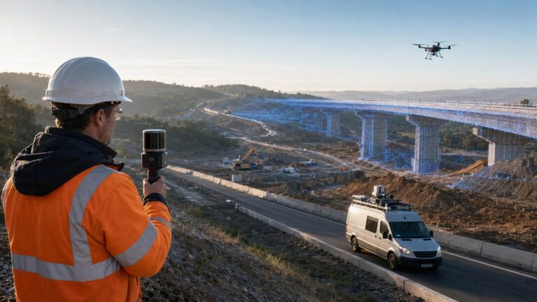 Topcon and GreenValley Alliance Targets the Next Generation of Spatial Intelligence
17th July 2026
Topcon and GreenValley Alliance Targets the Next Generation of Spatial Intelligence The strategic agreement between Topcon Positioning Systems and GreenValley…
Topcon and GreenValley Alliance Targets the Next Generation of Spatial Intelligence
17th July 2026
Topcon and GreenValley Alliance Targets the Next Generation of Spatial Intelligence The strategic agreement between Topcon Positioning Systems and GreenValley…
 SPH Engineering Launches 2026 Global Drone Operations Awards
7th July 2026
SPH Engineering Launches 2026 Global Drone Operations Awards SPH Engineering has opened applications for the Global Drone Operations Awards 2026,…
SPH Engineering Launches 2026 Global Drone Operations Awards
7th July 2026
SPH Engineering Launches 2026 Global Drone Operations Awards SPH Engineering has opened applications for the Global Drone Operations Awards 2026,…
 Geo Week 2027 Submissions Open as Reality Capture Moves Centre Stage
17th June 2026
Geo Week 2027 Submissions Open as Reality Capture Moves Centre Stage A call for conference speakers rarely registers as commercial…
Geo Week 2027 Submissions Open as Reality Capture Moves Centre Stage
17th June 2026
Geo Week 2027 Submissions Open as Reality Capture Moves Centre Stage A call for conference speakers rarely registers as commercial…
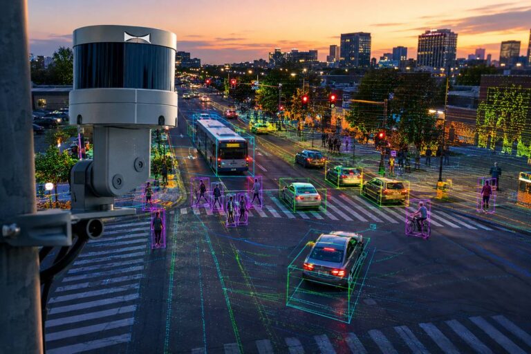 Ouster Brings Native Colour Lidar to City Traffic Corridors
12th June 2026
Ouster Brings Native Colour Lidar to City Traffic Corridors Roadside detection has long leaned on a patchwork of cameras, radar…
Ouster Brings Native Colour Lidar to City Traffic Corridors
12th June 2026
Ouster Brings Native Colour Lidar to City Traffic Corridors Roadside detection has long leaned on a patchwork of cameras, radar…
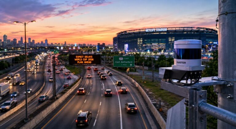 New Jersey Turns Its World Cup Highways Into A Living Map
10th June 2026
New Jersey Turns Its World Cup Highways Into A Living Map With the 2026 FIFA World Cup about to kick…
New Jersey Turns Its World Cup Highways Into A Living Map
10th June 2026
New Jersey Turns Its World Cup Highways Into A Living Map With the 2026 FIFA World Cup about to kick…
 Rethinking Road Intelligence with Aeva CityOS
7th June 2026
Rethinking Road Intelligence with Aeva CityOS There was a time when the role of transport infrastructure appeared relatively straightforward. Roads…
Rethinking Road Intelligence with Aeva CityOS
7th June 2026
Rethinking Road Intelligence with Aeva CityOS There was a time when the role of transport infrastructure appeared relatively straightforward. Roads…
 Ouster and Fujifilm Bring Native Colour Vision to the Future of Physical AI
21st May 2026
Ouster and Fujifilm Bring Native Colour Vision to the Future of Physical AI The race to build smarter machines has…
Ouster and Fujifilm Bring Native Colour Vision to the Future of Physical AI
21st May 2026
Ouster and Fujifilm Bring Native Colour Vision to the Future of Physical AI The race to build smarter machines has…
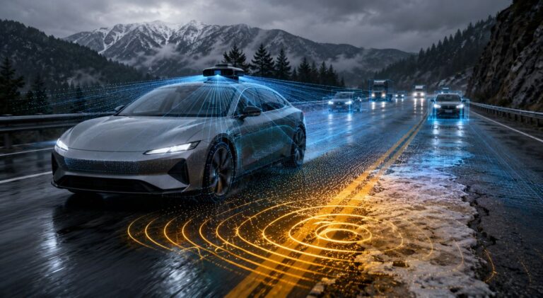 Teaching Vehicles to Feel the Road Ahead
21st May 2026
Teaching Vehicles to Feel the Road Ahead Autonomous driving has spent years focused on vision. Cameras, radar and lidar systems…
Teaching Vehicles to Feel the Road Ahead
21st May 2026
Teaching Vehicles to Feel the Road Ahead Autonomous driving has spent years focused on vision. Cameras, radar and lidar systems…


Editorial Note
The Highways.Today Dictionary is maintained as an editorial reference resource for construction, infrastructure, transport and industrial technology professionals. Definitions are intended to support understanding, discovery and research, and may be expanded over time as the Dictionary evolves into a broader illustrated industry reference.