


Terradepth launches Ocean Data-as-a-Service Platform to Map the Oceans Terradepth, the world's end-to-end ...
-
Terradepth launches Ocean Data-as-a-Service Platform to Map the Oceans
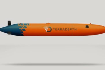
Terradepth launches Ocean Data-as-a-Service Platform to Map the Oceans
-
Sensor breakthrough paves way to mapping the world under the Earth’s surface

Sensor breakthrough paves way to mapping the world under the Earth’s surface
-
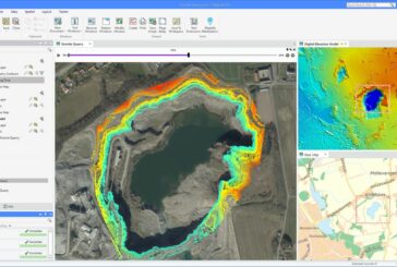
Ricardo RapidAir Software delivers faster Air Quality Mapping

Ricardo RapidAir Software delivers faster Air Quality Mapping
-
Esri releases guides for Location Analytics and Improving Map Aesthetics
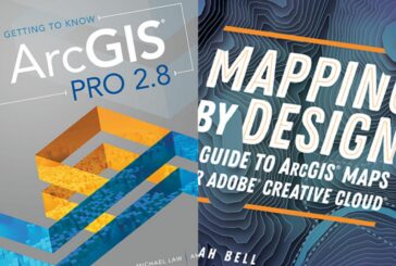
Esri releases guides for Location Analytics and Improving Map Aesthetics
-
Esri and WorldPop delivering updated Demographic Data for Policy Makers
Esri and WorldPop delivering updated Demographic Data for Policy Makers
-
Orbital Insight now integrates with Esri ArcGIS Platform

Orbital Insight now integrates with Esri ArcGIS Platform
-
Esri mapping Solar Energy Hot Spots in partnership with The Ray

Esri mapping Solar Energy Hot Spots in partnership with The Ray
-
Hexagon HxGN Content Program now includes England, Scotland and Wales

Hexagon HxGN Content Program now includes England, Scotland and Wales
-
New MapInfo Pro release powers decision-making with critical location-based context
New MapInfo Pro release powers decision-making with critical location-based context
-
Velodyne Lidar technology enabling TOPODRONE high-precision mapping

Velodyne Lidar technology enabling TOPODRONE high-precision mapping
-
Ordnance Survey announces EV hackathon for coders and programmers to join
Ordnance Survey announces EV hackathon for coders and programmers to join
-
Esri helps Matanuska manage 10,000 square mile broadband network in Alaska

Esri helps Matanuska manage 10,000 square mile broadband network in Alaska
-
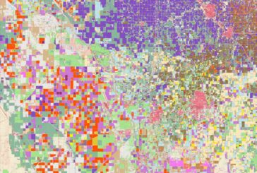
Esri releases new predictive Global Land Cover Map for 2050

Esri releases new predictive Global Land Cover Map for 2050
-
Trimble MX50 vehicle LiDAR enables data capture for Road Agencies

Trimble MX50 vehicle LiDAR enables data capture for Road Agencies
-
Esri Federal Geospatial Data now available to anyone online
Esri Federal Geospatial Data now available to anyone online
-
Esri ArcGIS Field Maps on iPhone and iPad improve mobile worker efficiency

Esri ArcGIS Field Maps on iPhone and iPad improve mobile worker efficiency
-
Teledyne CARIS partners with Seabed 2030 and the UK Hydrographic Office
Teledyne CARIS partners with Seabed 2030 and the UK Hydrographic Office
-
Red Bull X-Alps Competition Live Tracking App uses Esri ArcGIS Platform

Red Bull X-Alps Competition Live Tracking App uses Esri ArcGIS Platform
-
Esri releases new Global Land Cover Map
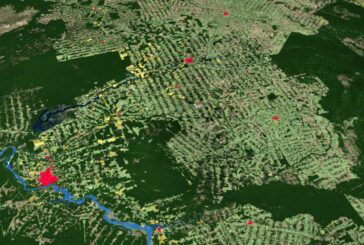
Esri releases new Global Land Cover Map
-
Septentrio and XenomatiX partner for accurate LiDAR 3D mapping solutions

Septentrio and XenomatiX partner for accurate LiDAR 3D mapping solutions