


GSSI looks at using Ground Penetrating Radar for Cemetery Mapping Across the United States, a large amoun ...
-
GSSI looks at using Ground Penetrating Radar for Cemetery Mapping
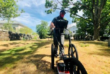
GSSI looks at using Ground Penetrating Radar for Cemetery Mapping
-
Velodyne Lidar Puck sensor selected for Seabed Mobile Mapping System
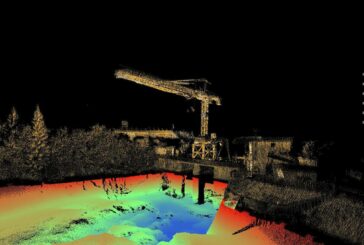
Velodyne Lidar Puck sensor selected for Seabed Mobile Mapping System
-
Velodyne Lidar partners with AGM Systems for air and mobile mapping technology
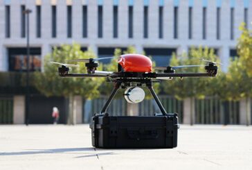
Velodyne Lidar partners with AGM Systems for air and mobile mapping technology
-
Terradepth trials Underwater Autonomous Submarine to map the oceans
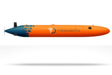
Terradepth trials Underwater Autonomous Submarine to map the oceans
-
Esri launches ArcGIS Field Maps mobile app
Esri launches ArcGIS Field Maps mobile app
-
Esri and UN launch storytelling competition to spread awareness of sustainable development

Esri and UN launch storytelling competition to spread awareness of sustainable development
-
GeoSLAM ZEB Go launches a new era for mobile simultaneous localization and mapping
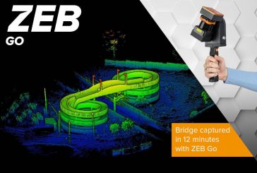
GeoSLAM ZEB Go launches a new era for mobile simultaneous localization and mapping
-
Velodyne Lidar combined with Kaarta Cloud produces stunning 3D Maps
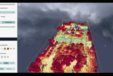
Velodyne Lidar combined with Kaarta Cloud produces stunning 3D Maps
-
Latest generation of YellowScan Mapping Systems rely on Velodyne Lidar Sensors
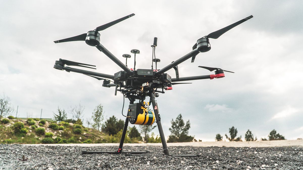
Latest generation of YellowScan Mapping Systems rely on Velodyne Lidar Sensors
-
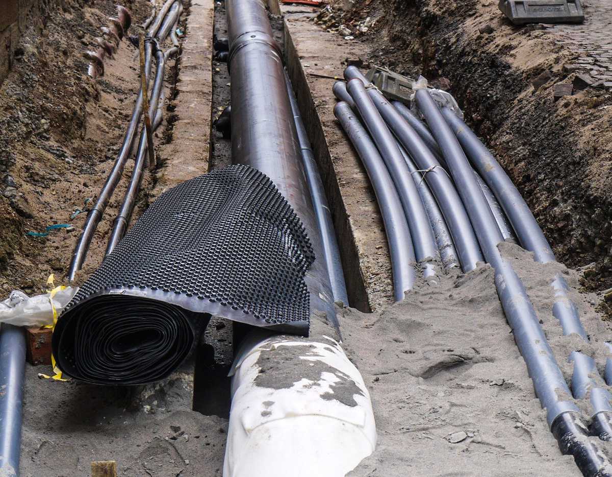
Ordnance Survey protecting the world beneath our feet

Ordnance Survey protecting the world beneath our feet
-
Esri and Facebook collaborate on the release of OpenStreetMap Datasets

Esri and Facebook collaborate on the release of OpenStreetMap Datasets
-
ProStar joins Trimble GIS Partner Program to define the next generation of Utility Mapping
ProStar joins Trimble GIS Partner Program to define the next generation of Utility Mapping
-
Global drone rescue map tracks DJI drone-assisted rescues
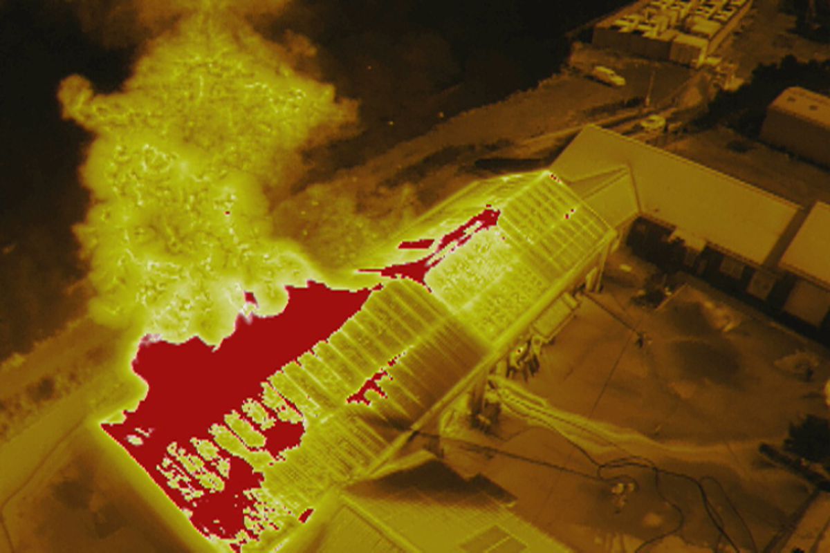
Global drone rescue map tracks DJI drone-assisted rescues
-
FARO launches Gage 3D portable co-ordinate measurement machine

FARO launches Gage 3D portable co-ordinate measurement machine
-
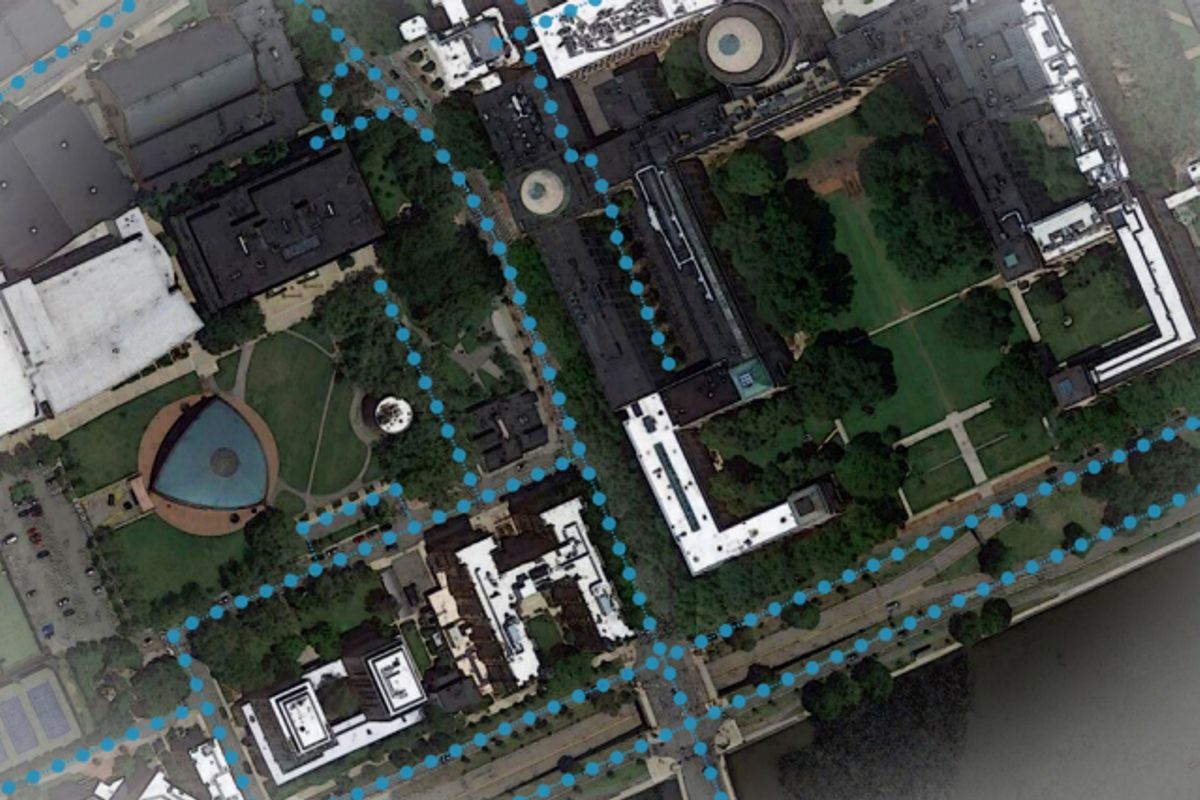
Esri UK’s map of pavement widths helps local authorities with social distancing plans
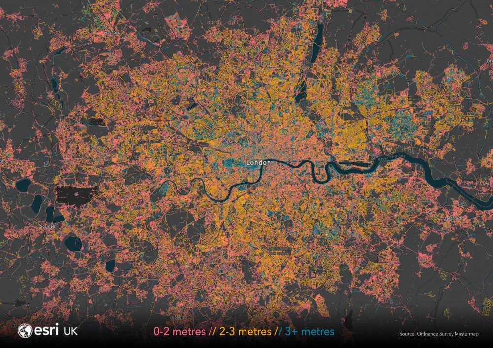
Esri UK’s map of pavement widths helps local authorities with social distancing plans
-
MIT AI uses hidden earthquake vibrations to accurately map geologic structures
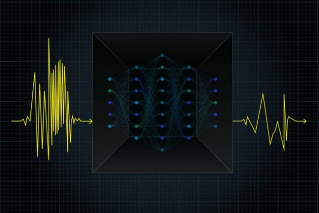
MIT AI uses hidden earthquake vibrations to accurately map geologic structures
-
MIT and QCRI study artificial intelligence models to enrich digital maps
MIT and QCRI study artificial intelligence models to enrich digital maps
-
VolvoCE to roll out new map feature for Haul Assist at ConExpo
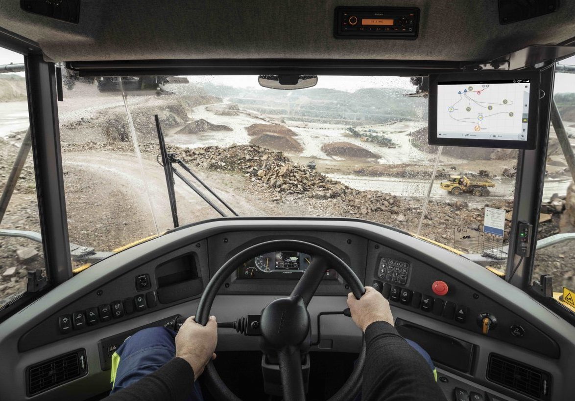
VolvoCE to roll out new map feature for Haul Assist at ConExpo
-
HERE and INRIX partner to Move Mobility Forward

HERE and INRIX partner to Move Mobility Forward
-
Trimble announces new Surveying solutions

Trimble announces new Surveying solutions