Latest generation of YellowScan Mapping Systems rely on Velodyne Lidar Sensors
Velodyne Lidar, Inc. today announced two new generation YellowScan mobile mapping systems that use Velodyne’s lidar sensors to help achieve the high precision and accuracy needed in aerial 3D mapping.
Velodyne’s powerful lidar sensors generate real-time georeferenced point cloud data that allows YellowScan systems to accurately measure and analyse an area so customers can avoid time-intensive, costly manual surveys.
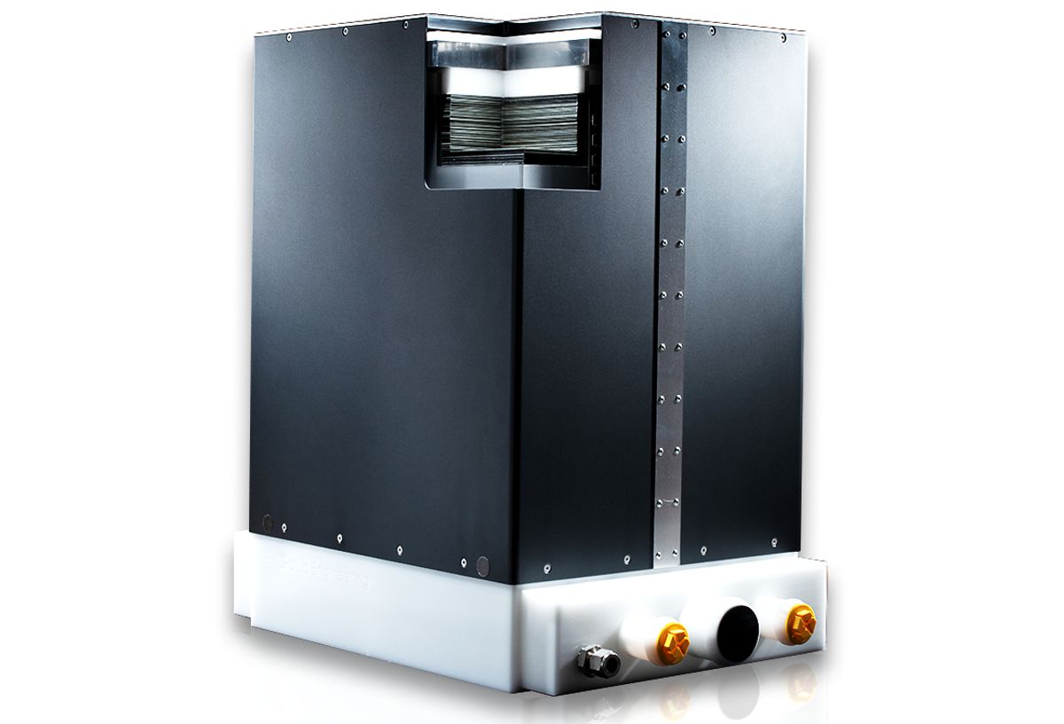
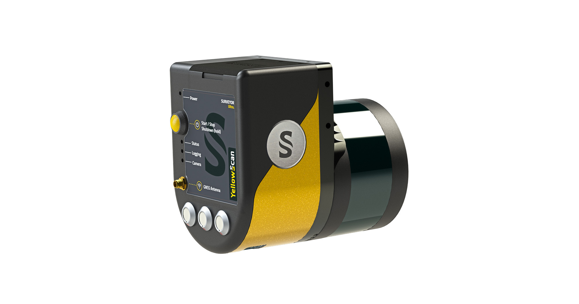
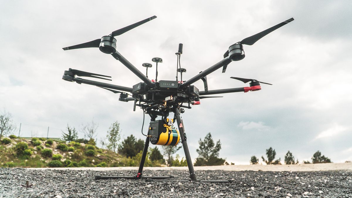
The YellowScan Surveyor Ultra is a high density and long range mapping solution equipped with a Velodyne Ultra Puck™ sensor and ideally suited for high speed unmanned aerial vehicles (UAV), such as VTOL and helicopter drones. The YellowScan Surveyor is the company’s lightest system – at 1.6 kg including the battery – and uses a Velodyne Puck™ sensor. It is YellowScan’s most versatile UAV solution and is built for urban surveys subject to strict flying regulations that require extra lightweight payloads.
Both YellowScan systems feature new designs that include an aluminium frame to provide a stronger system structure and better heat dissipation. They are Fly & Drive ready, able to be rapidly deployed on road vehicles as well as on any type of UAV. A system swap between car and UAV can take less than five minutes.
Other new features include a three-color LED that provides users with more status information and the .t04 file is pushed directly to a memory stick, which means users no longer need a network connection to download the IMU data.
“Our lighter, more compact new generation systems offer improved versatility because survey professionals can quickly deploy them at an economic cost relative to traditional surveying methods,” said Morgane Selve, Communication Manager, YellowScan. “Velodyne’s lidar sensors enable our systems to be fully autonomous so they can be mounted quickly on any drone and deliver high density level data for demanding survey applications.”
“YellowScan’s new generation mobile mapping systems are robust and reliable, helping companies generate data where and when they need it,” said Dieter Gabriel, Marketing Manager – EMEA, Velodyne Lidar. “The versatility of Velodyne sensors allow YellowScan systems to address diverse surveying needs for 3D mapping that only lightweight UAV lidar solutions can meet.”
Velodyne’s lidar sensors make it quick and easy for companies to build highly accurate 3D models of any environment for mobile mapping. The sensors deliver a high-resolution surround view image to accurately measure and analyse the environment. The performance, range and compact form factor of Velodyne sensors enable developers to design versatile systems that can be configured to mobile mapping needs.