Sir Robert McAlpine revealing Underground Highway Assets with MGISS Technology
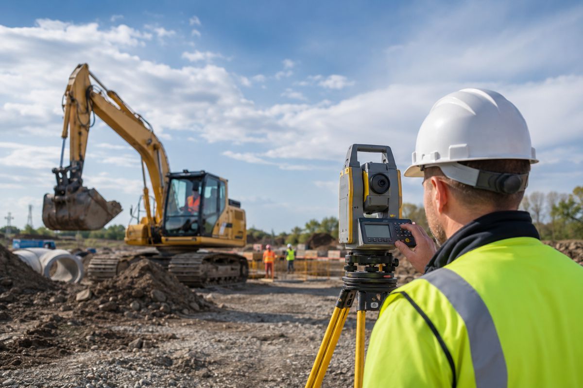
The latest surveying technology from Mobile GIS Services (MGISS) is helping Sir Robert McAlpine (SRM) transform the management of both underground and over ground highway and utility assets.
The pioneering work being undertaken on the A19 trunk road will improve operational efficiency and overall safety as part of an asset mapping system that can be accessed and updated live and is 3D, Augmented Reality (AR) and BIM ready.
Liverpool-based MGISS is working alongside SRM to design and implement new workflows as well as converting and updating historical data to populate SRM’s works management database.
“The highway network is a complex environment. In order to maintain and operate this essential infrastructure safely and efficiently we need to understand where above and below ground assets are on the network. This allows early conflict management with utilities on site when planning new works or reacting to incidents,” commented Andy Sinclair, Project Manager for the A19 DBFO contract at Sir Robert McAlpine.
“Using the MGISS developed solution, inspectors and engineers operating on the highway can live access asset information using existing mobile devices,” he continued. “We are also able to share information, which improves our decision making and collaboration, and the overall efficiency of our inspection routines.”
MGISS originally began working with SRM when they first introduced the HighStone contract management database from Claremont Controls. MGISS customised its GeoGrafi App services so that asset condition data, collected in the field using mobile devices, could be synced to the centralised HighStone database.
The latest collaboration between MGISS and SRM has built on this initial development by converting and updating potentially outdated historical Utility drawings. Plans were traditionally printed out for use in the field, but these have since been converted so they could be uploaded to a GIS dataset.
Using ArcGIS Explorer, a mobile app that is part of the Esri Geospatial Cloud toolkit, inspectors and engineers can access location-accurate asset data in real time and, using Survey 123 also part of the same environment, report defects and condition reports directly to the hosted system.