UCI and Irvine Smart Cities deploys Velodyne Lidar infrastructure solution
Velodyne Lidar today announced its Intelligent Infrastructure Solution has been selected by the HORIBA Institute for Mobility and Connectivity2 (HIMaC2) in the University of California, Irvine (UCI) Samueli School of Engineering.
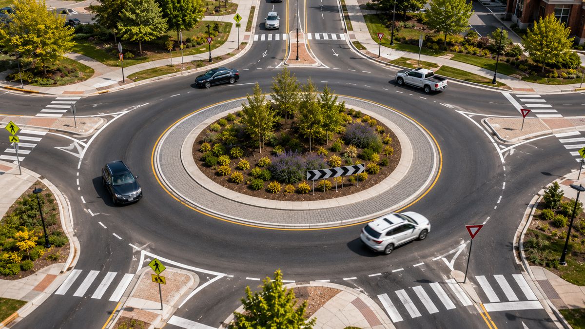
HIMaC2 plans to equip 25 intersections at UCI and the adjacent City of Irvine with Velodyne’s lidar-based Intelligent Infrastructure Solution as part of a major study on improving traffic and energy efficiency, road safety and air quality.
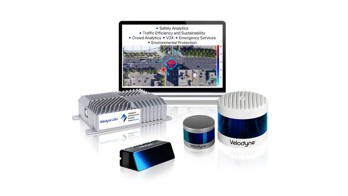
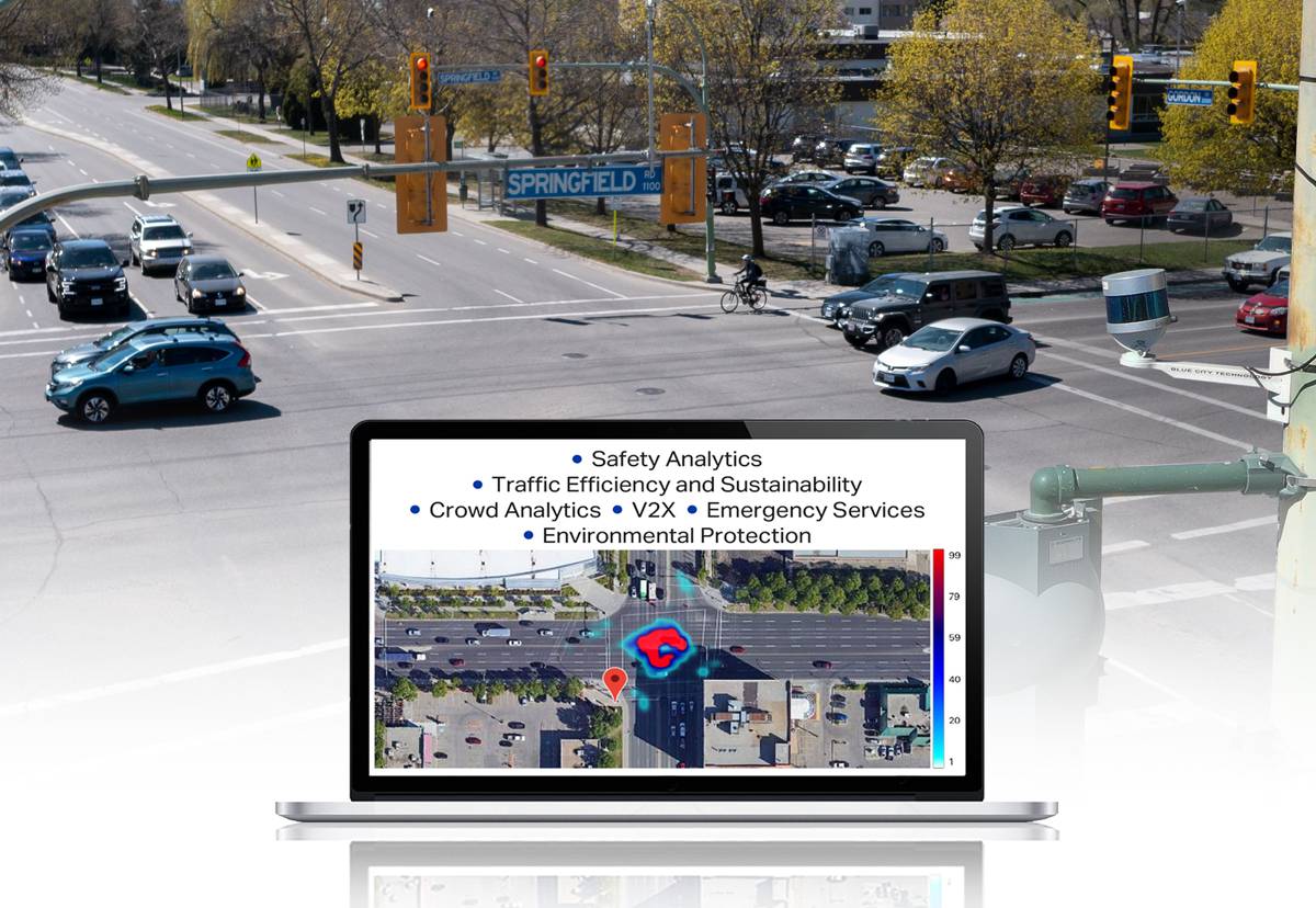
The Intelligent Infrastructure Solution deployment is supported by a $6 million grant recently awarded to HIMaC2 by the Vehicle Technology Office of the U.S. Department of Energy (DOE). HIMaC2 will create a Public Road Network Platform for the development, evaluation and deployment of emerging and future connected and autonomous vehicle (CAV) technologies. The Intelligent Infrastructure Solution combines Velodyne’s award-winning lidar sensors with powerful AI software to monitor traffic networks and public spaces.
Also included in the project are Bluecity, Argonne National Laboratory (ANL), the UCI Institute of Transportation Studies, Toyota Motor of North America, Pony.ai and Hyundai Mobis. Research shows traffic coordination of intersections and CAVs based on reliable data and analytics can reduce congestion between 20-to-30 percent and emissions between 5-to-15 percent while also improving safety.
“The program looks to advance connected and autonomous transportation and show how they can contribute to smarter, safer infrastructure for our communities,” said UCI Engineering Professor Scott Samuelsen, Principal Investigator in the HIMaC2 program. “By deploying Velodyne’s automated monitoring and control in an intersection network, backbone data can be generated and utilized to demonstrate improved safety, energy efficiency and traffic flow to which cities aspire. With its deployment at 25 intersections, this initiative will be the largest lidar-based traffic monitoring solution in the world.”
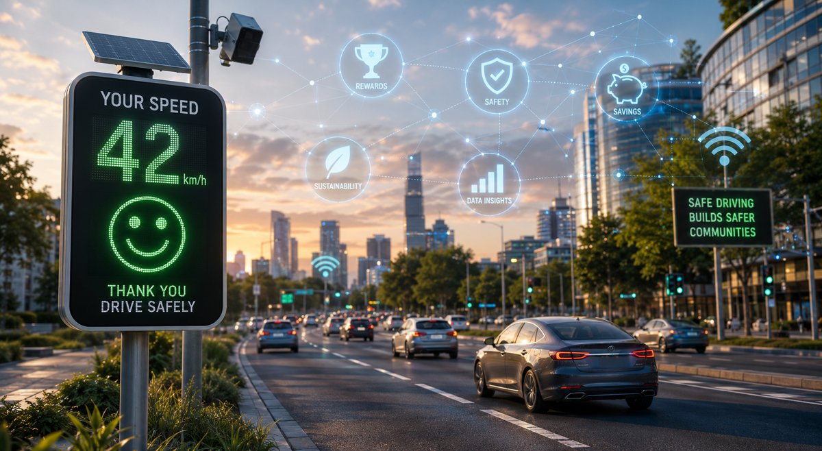
HIMaC2 will study how traffic coordination can be improved based on reliable data and analytics generated by the Intelligent Infrastructure Solution. By implementing advanced infrastructure monitoring as a V2X (vehicle to everything) solution, the HIMaC2 program will look to generate critical data needed to improve traffic and crowd flow, path planning, and protect vulnerable road users in all weather and lighting conditions.
Distinct advantages of the Intelligent Infrastructure Solution include its ability to leverage as few as one unit per intersection which supports scalability. Additionally, lidar sensors do not identify individuals’ facial characteristics, an important privacy factor for civic applications.
“The HIMaC2 program is tackling one of the most challenging and pervasive infrastructure problems that cities face — how to improve traffic flows and safeguard road users,” said Jon Barad, Vice President of Business Development, Velodyne Lidar. “Velodyne believes that smart infrastructure integrated with connected and autonomous vehicles have the potential to deliver game-changing improvements in roadway efficiency and safety. We look forward to working with the HIMaC2 team to explore how to create a more sustainable, safer future for our transportation infrastructure.”
Velodyne’s Intelligent Infrastructure Solution creates a real-time 3D map of roads and intersections, providing precise traffic monitoring and analytics that is not possible with other types of sensors like cameras or radar. It reliably collects data in any lighting or weather condition, supporting year-round operation, while also protecting people’s privacy.
The solution advances safety through multimodal analytics that detect various road users including vehicles, pedestrians, and cyclists. It can predict, diagnose, and address road safety challenges, helping municipalities and other customers make informed decisions to take corrective action.