Autonomous Satellites Could Change how the World Responds to Wildfires
Wildfire detection has spent decades as a by-product of general Earth observation, something inferred from weather satellites and land-imaging missions that happened to catch a thermal anomaly on their way past. That arrangement is now ending, and it is ending quickly. In barely eighteen months the category has hardened into dedicated, purpose-built space infrastructure backed by real spacecraft and real public money, and the competitive frontier has already moved past detection towards a harder problem: teaching a constellation to decide, on its own, where it should be looking next.
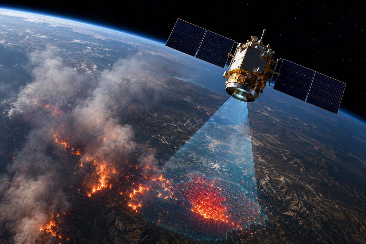
That is the significance of a framework published this summer by engineers at West Virginia University. Brycen Pearl, Joshua Warner and Hang Woon Lee have described a system that does not simply interpret satellite imagery of a fire, but uses that interpretation to retask and reposition the satellites themselves for continued monitoring. The work matters less as another wildfire-detection story and more as an early, credible model for autonomous space infrastructure, spacecraft that observe, assess, and then reschedule their own operations around a moving hazard. For infrastructure owners, insurers, disaster agencies and the wider construction economy, the read-across extends well beyond fire.
Briefing
- West Virginia University engineers have published WildFIRE-DS, a framework that lets Earth-observation satellites detect wildfires and then autonomously retask and reposition themselves to keep watching as the fire spreads, moving beyond the detect-and-validate function of current systems.
- The research lands against a fast-forming commercial market: the first three operational FireSat satellites reached orbit in July 2026, Greece deployed the world’s first national wildfire satellite constellation in May 2026, and Canada has placed a Can$72 million contract to design its WildFireSat mission.
- Commercial value is concentrating in a small number of vertically integrated players that own both the orbital hardware and the data pipeline, notably Muon Space with Earth Fire Alliance, Germany’s OroraTech, and Spire Global.
- Revisit rate is the commercial variable that matters most, and independent projections put the potential US benefit of a one-hour FireSat revisit at more than a billion dollars a year in avoided fire damage.
- The same manoeuvrable, self-scheduling logic that WildFIRE-DS applies to fire is directly relevant to monitoring linear infrastructure, disaster response and post-event damage assessment across roads, rail corridors, pipelines and remote construction sites.
How a Research Ambition Became Operational Space Infrastructure
The clearest signal of where this market is heading is that it now exists in orbit rather than on paper. In July 2026 Muon Space deployed the first three operational satellites for Earth Fire Alliance’s FireSat constellation aboard a SpaceX rideshare launch from Vandenberg, marking the transition from a single demonstration spacecraft to initial operational capability.
The demonstration unit, FireSat Protoflight, had already spent a year on orbit gathering more than a million multispectral infrared images and, in one telling episode, detecting a small roadside fire in Oregon that other space-based systems watching the same region had missed. That single observation captures the commercial argument for purpose-built hardware over repurposed general imagery.
Europe reached the milestone first at national scale. In May 2026 OroraTech, working with the Hellenic Space Centre and the European Space Agency under the EU-funded Recovery and Resilience Facility, launched four thermal-sensing CubeSats as the Hellenic Fire System, giving Greece the world’s first national satellite capability dedicated solely to wildfire detection and tracking.
The system is built to flag blazes as small as four metres across and to deliver alerts to Greek fire services with a latency measured in minutes, a specification that would have been unthinkable from conventional Earth-observation assets. Canada, meanwhile, has committed to the model through procurement, with the Canadian Space Agency assigning a Can$72 million contract to Spire Global Canada, partnered with OroraTech, to design the WildFireSat constellation ahead of a deployment planned for 2029.
Why Autonomy Is the Next Competitive Frontier
Against that backdrop, the value of the WVU contribution becomes easier to place. The operational constellations now flying are largely built to identify a fire and validate that identification before alerting responders. What they generally do not do is change their own behaviour in response to what they find. The framework Pearl led, formally the WildFire-applicable Intelligent and Responsive Ensemble for Detection and Scheduling, adds precisely that missing layer, using interpreted imagery to set a new schedule for satellite positioning and monitoring rather than leaving the spacecraft fixed to the plan they launched with.
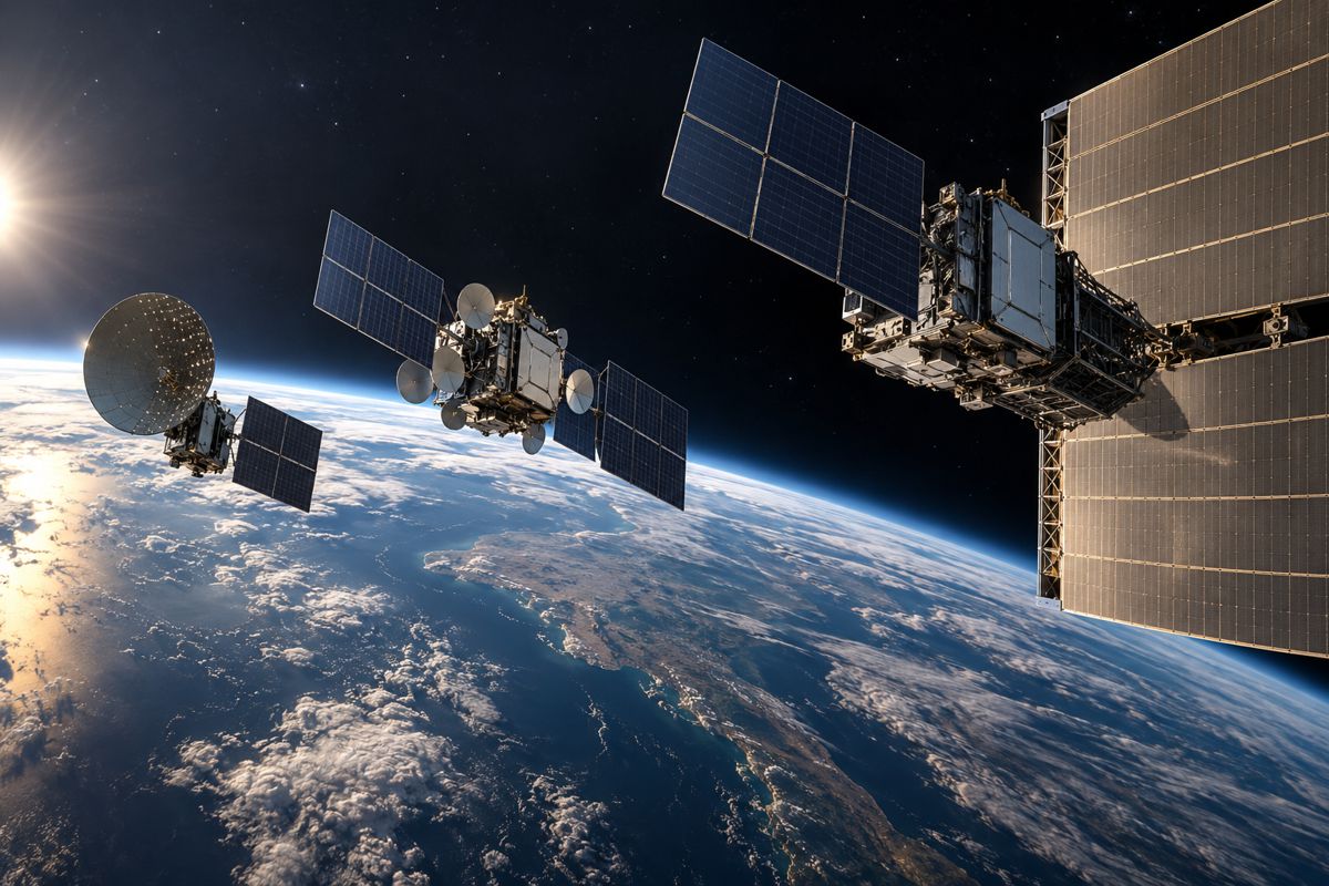
The architecture is worth understanding only for its operational effect. A detection stage uses convolutional neural networks to interpret imagery, a confidence stage applies Bayesian statistics to weigh each new interpretation against prior passes, and a scheduling stage then solves what the team calls the Reconfigurable Earth Observation Satellite Scheduling Problem, planning manoeuvres so the satellites can move into better orbits and revisit a detected fire more frequently and for longer on each pass.
The consequence is a constellation that treats its own orbital geometry as a variable to be optimised around a moving target, while still balancing the competing demands of data downlink, solar charging and strict onboard memory and power limits. As Lee, who directs the WVU Space Systems Operations Research Laboratory, frames the underlying difficulty, wildfires move quickly, and he notes that they can advance “as fast as 15 to 20 mph under the right conditions” while major events cover hundreds of thousands of acres, a combination that makes both containment and tracking extraordinarily hard.
The Physics That Makes Revisit Rate a Commercial Variable
The reason autonomy commands a premium is that wildfire behaviour resists prediction, which means the value of an observation decays fast and the ability to look again quickly is worth paying for. Pearl describes the phenomenon in blunt terms, characterising fire as “a complex system, where a huge number of factors interact with each other in ways that can spiral into unexpected outcomes.”
Wind is the dominant and least predictable driver, and he points out that “a fire burning in a canyon can generate its own wind through a chimney effect, pulling air in from below and blasting flames up and out at great speeds,” while the largest fires grow hot enough to generate their own weather overhead. A monitoring schedule fixed in advance is poorly matched to a hazard that rewrites its own conditions hour by hour.
That is why revisit rate, the frequency with which a satellite can look again at a given point, has become the headline commercial metric across the sector rather than resolution alone. Warner puts the operational requirement plainly, arguing that “satellites need to pass overhead frequently, ground sensors need to be in constant operation, and data interpretation needs to occur in near-real-time.”
The economic case is already being quantified by the operators building the hardware. Independent projections cited by Muon Space suggest that in the United States alone a one-hour FireSat revisit rate could save more than a billion dollars a year in fire-damage costs, protect thousands of homes, and reduce burned land by well over a million acres annually. A framework that lets existing satellites revisit newly detected hotspots faster attacks exactly the variable that drives those numbers.
The Loss Ledger Behind the Investment
The money flowing into dedicated wildfire constellations is a rational response to a loss ledger that has grown impossible to ignore. Warner points to the 2025 Palisades fire, which “burned 23,448 acres in California, claimed 12 lives, destroyed 6,837 structures, and caused more than $25 billion in damages,” while noting that the toll would have been worse without the time bought by innovations such as the ALERTCalifornia camera network. Canada offers the same argument at national scale, spending roughly Can$1 billion every year on wildfire suppression, with indirect costs from evacuations, health impacts and losses across forestry, energy and tourism running higher still. When a single fire season can erase tens of billions in built assets, a Can$72 million satellite programme reads as cheap insurance.
That arithmetic explains the shape of the emerging supplier base. OroraTech, the Munich company behind both the Greek system and the Canadian payloads, has extended its Series B round to €37 million and total funding beyond €60 million, backing from investors including the BNP Paribas Solar Impulse Venture Fund and the European Circular Bioeconomy Fund that signals institutional confidence in wildfire intelligence as a durable business rather than a grant-funded experiment.
The company now operates a fleet of thermal-sensing satellites built with Spire under a space-as-a-service model and is targeting a constellation of around 100 spacecraft. FireSat, developed by Earth Fire Alliance with founding investment that included Google, is scaling towards more than fifty satellites and an eventual global revisit target measured in tens of minutes. The competitive advantage in this market accrues to players that control both the orbital hardware and the data pipeline that turns raw thermal readings into actionable intelligence, and that vertical integration is where purchasing power is beginning to settle.
Beyond Fire: Manoeuvrable Satellites as Infrastructure Monitoring
For readers whose concern is roads, bridges and construction programmes rather than fire lines, the WVU framework carries an implication that outlasts any single fire season. A satellite that can autonomously decide a hazard warrants closer, more frequent observation, and then manoeuvre to deliver it, is a general-purpose tool for monitoring any dynamic asset or evolving threat. The specific problem is wildfire, but the underlying capability is responsive, self-scheduling Earth observation, and infrastructure owners face a long list of situations where the value of an observation depends entirely on looking again quickly at the right place.
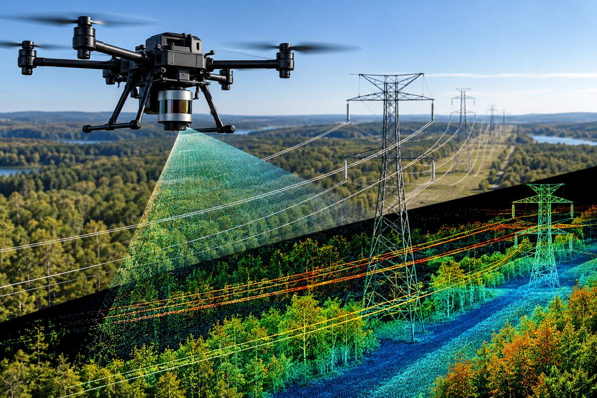
The applications map naturally onto the sector’s existing pain points. Post-event damage assessment after floods, earthquakes or landslides depends on rapid, repeated imagery of affected corridors, exactly the revisit problem WildFIRE-DS is built to solve. Linear assets such as rail networks, pipelines and highways run through remote terrain where ground sensors are expensive to install and maintain, the same limitation Lee identifies when he observes that ground networks and drones “are limited to the areas where they are deployed.”
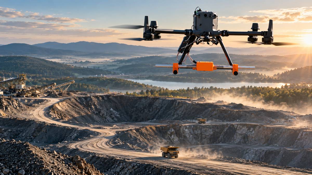
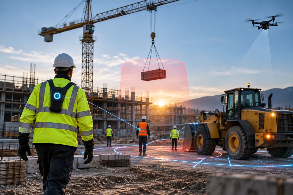
Construction and mining operations spread across large, changing sites could be tracked by constellations that concentrate their attention where activity or risk is highest rather than imaging on a fixed cadence. The strategic point for infrastructure leaders is that the autonomy layer being proven on fire is the same layer that will eventually make space-based monitoring viable for slower-moving but equally consequential risks to the built environment.
A Layered System Rather Than a Single Answer
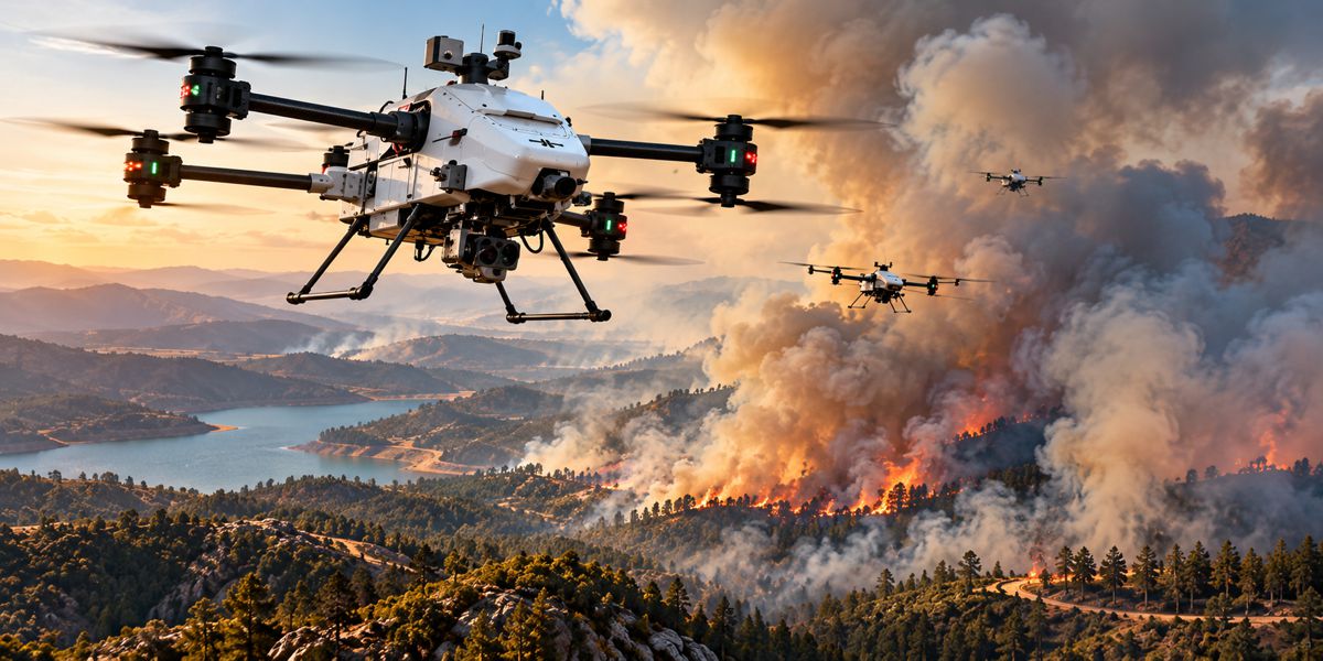
None of this positions satellites as a replacement for the sensors already deployed on the ground and in the air, and the more useful framing is a layered detection architecture in which each tier compensates for the others’ blind spots. Pearl sets out the three layers directly, describing how “on the ground, teams are deploying permanent sensor and camera systems that watch fire-prone land at all times,” how “in the air, drone technology is reaching new heights,” and how “in space, satellites are being dedicated to wildfire monitoring with better placement, better cameras, and AI to process images and detect wildfires on the satellite itself before relaying that back to the ground.”
Each layer has a distinct economic profile, with fixed ground infrastructure offering persistence at high installation cost, drones offering flexibility within a limited radius, and satellites offering unmatched geographic reach without local infrastructure or routine maintenance.
The ground layer’s maturity is instructive for how the space layer may develop commercially. California’s ALERTCalifornia network links more than 1,200 high-definition cameras with near-infrared vision to provide continuous backcountry monitoring, a dense terrestrial grid that has already demonstrated the value of automated, always-on detection. Extending that concept upward, a constellation performing the same always-watching function across an entire territory removes the coverage gaps that fixed cameras and short-range drones cannot close.
For infrastructure owners planning monitoring strategies, the lesson is that the layers are complementary rather than competing, and that the emerging space tier is best understood as the component that finally makes wide-area, low-maintenance coverage affordable, with on-board autonomy as the feature that makes it responsive.
Where Industry Leaders Should Concentrate Their Attention
The developments of the past eighteen months amount to a category being built in real time, and the direction of travel is clear enough to act on. Wildfire monitoring has moved decisively from opportunistic use of general imagery to dedicated, sovereign-grade infrastructure that governments are now willing to procure directly, and the supplier base is consolidating around a handful of firms that own the full stack from spacecraft to alert. The intelligence being sold is increasingly delivered as a service rather than as hardware, a model that lowers the barrier for public agencies and, in time, for commercial infrastructure operators who want monitoring without owning satellites.
The differentiator that will separate the leaders from the merely present is autonomy, and this is where research such as WildFIRE-DS earns its wider significance. A constellation that can decide what to observe next, and physically reposition to observe it, extracts far more value from the same hardware than one flying a fixed schedule, and that efficiency advantage compounds as constellations grow.
Infrastructure owners, insurers and disaster agencies would be well advised to track the maturation of self-tasking Earth observation as a procurement category in its own right, because the capability being proven on fire will migrate towards flood mapping, structural monitoring and rapid damage assessment. All of the parallel innovations across ground, air and space, as Pearl puts it, share a single purpose, “giving firefighting crews a head start,” and the head start that autonomous, manoeuvrable satellites promise is one that the wider infrastructure economy has every reason to want as well.
Key Industry Questions
- What does WildFIRE-DS do that current wildfire satellites do not? Operational constellations such as FireSat and OroraTech’s Wildfire Constellation are designed principally to detect a fire and validate that detection using artificial intelligence before alerting responders. The WVU framework adds a further capability: it uses the interpreted imagery to autonomously reschedule and reposition the satellites themselves. Rather than remaining fixed to the observation plan they launched with, satellites running WildFIRE-DS can manoeuvre into better orbits to revisit a newly detected fire more frequently and for longer on each pass. The distinction matters because it converts a constellation from a passive imaging asset into a responsive one that optimises its own behaviour around a moving hazard, extracting more monitoring value from the same hardware.
- Why is revisit rate more important than image resolution? Wildfire behaviour changes rapidly and unpredictably, driven largely by wind, so the intelligence value of any single image decays within hours. High resolution is useful, but it is the ability to look again quickly at the same location that determines whether responders can track a fire as it moves. This is why operators quote revisit rate as their headline metric, with FireSat targeting one hour and OroraTech aiming for thirty to sixty minutes as their constellations scale. Independent projections suggest a one-hour US revisit rate could avoid more than a billion dollars in annual fire damage. Any technology that improves how often satellites can revisit a hotspot addresses the variable that most directly drives economic and safety outcomes.
- Who are the main commercial players in dedicated wildfire monitoring? Three names dominate the current market. Muon Space builds and operates the FireSat constellation for the nonprofit Earth Fire Alliance, which counts Google among its early backers and is scaling towards more than fifty satellites. OroraTech, based in Munich, supplies the payloads and platforms behind both Greece’s Hellenic Fire System and Canada’s WildFireSat mission, and operates its own thermal-sensing constellation. Spire Global provides satellite manufacturing and platform capability, partnering with OroraTech on the Canadian programme. The common thread is vertical integration, with the strongest positions held by firms that control both the orbital hardware and the data pipeline that converts thermal readings into operational alerts.
- How significant is Greece’s national wildfire satellite system? Greece’s Hellenic Fire System, launched in May 2026, is the first national satellite capability in the world built solely for wildfire detection and tracking, making it an important precedent rather than a one-off. It demonstrates that individual governments are now willing to procure sovereign wildfire-monitoring infrastructure rather than relying on shared or commercial general-purpose imagery. Developed with OroraTech and the European Space Agency and funded through the EU Recovery and Resilience Facility, the four-satellite system delivers alerts to Greek fire services within minutes and can detect blazes as small as four metres across. For other fire-exposed nations, it offers a working template for combining space hardware with ground-based operational services under national control.
- What is the investment case behind these constellations? The case rests on the gap between the cost of the infrastructure and the scale of avoidable losses. The 2025 Palisades fire alone destroyed 6,837 structures and caused damages exceeding 25 billion dollars, while Canada spends roughly a billion Canadian dollars a year on wildfire suppression before indirect costs are counted. Against those figures, satellite programmes costing tens of millions read as proportionate risk mitigation. That economic logic is drawing private capital as well as public procurement, with OroraTech extending its Series B round to €37 million and total funding beyond €60 million, backed by institutional investors treating wildfire intelligence as a durable market rather than a subsidised experiment.
- How does this technology apply to infrastructure beyond wildfires? The core capability in WildFIRE-DS is responsive, self-scheduling Earth observation, and that is inherently general-purpose. Any situation where the value of an observation depends on looking again quickly at a specific location is a candidate application. Post-event damage assessment after floods, earthquakes or landslides requires rapid repeated imagery of affected corridors. Linear assets such as railways, pipelines and highways run through remote terrain that is costly to instrument on the ground. Large construction and mining sites change constantly and benefit from monitoring concentrated where risk is highest. As the autonomy layer matures on the wildfire problem, the same manoeuvrable, self-tasking logic is likely to migrate towards these slower-moving but equally consequential risks to the built environment.
- Do satellites make ground sensors and drones obsolete? They do not, and the more accurate picture is a layered architecture in which each tier covers the others’ weaknesses. Fixed ground sensors and camera networks offer constant, persistent watch over defined areas but are expensive to install and maintain and cover only where they are deployed. Drones provide flexible close-range observation within a limited radius. Satellites contribute unmatched geographic reach without local infrastructure or routine maintenance, but historically at lower revisit frequency. On-board autonomy narrows that last gap. The practical implication for infrastructure owners is that monitoring strategies should treat the three layers as complementary, using the emerging space tier to close the wide-area coverage gaps that ground and air systems cannot economically fill.
- When will autonomous satellite monitoring be widely available? The building blocks are arriving in stages rather than all at once. Operational detection-and-validation constellations are flying now, with FireSat at initial operational capability and OroraTech’s fleet in service, and both are scaling towards denser coverage over the next several years. Canada’s WildFireSat is scheduled for deployment in 2029. The autonomous retasking layer demonstrated by WildFIRE-DS is at the research stage and would need integration into operational systems, so its commercial appearance is a medium-term rather than immediate prospect. Infrastructure owners should treat self-tasking Earth observation as an emerging procurement category to monitor and pilot, rather than a mature service available for immediate large-scale deployment.
Strategic Takeaways
- Wildfire monitoring has shifted from an incidental use of general Earth-observation imagery to a dedicated, sovereign-grade infrastructure category that governments now procure directly, and that reclassification changes how the capability will be funded, regulated and sold.
- Commercial advantage is consolidating around vertically integrated suppliers that own both the orbital hardware and the data pipeline, with OroraTech, Muon Space and Spire Global emerging as the reference names to watch.
- Revisit rate, not resolution, is the decisive commercial variable, and any technology that lets satellites look again sooner attacks the metric that most directly drives avoided-loss economics.
- The autonomy demonstrated by WildFIRE-DS, in which satellites decide what to observe next and manoeuvre to deliver it, is the feature most likely to separate market leaders from followers as constellations scale.
- The same self-tasking Earth-observation capability being proven on wildfire is directly transferable to flood mapping, structural monitoring and post-disaster damage assessment, making it a strategic technology for infrastructure owners and insurers well beyond fire agencies.