LiDAR Gives Autonomous Firefighting Drones a Longer View of the Fireground
Wildfire aviation has always depended on seeing enough of the fireground to make safe decisions. For an autonomous aircraft carrying suppressant through smoke, across broken terrain and around power lines, that requirement becomes considerably more demanding.
California-based Seneca is adding long-range lidar to its autonomous firefighting aircraft through a partnership with Ouster, integrating the company’s Rev8 OS1 Max sensor into a platform already designed for suppression, mapping, vegetation management and infrastructure inspection. The engineering objective is straightforward: give the aircraft a denser and more reliable three-dimensional picture of the environment ahead as speed, payload and operational complexity increase.
The sensor brings 256 lidar channels, a 200 m specified range against a 10% reflective target, a maximum representable range of 500 m and up to 10.4 million points per second. It also operates across a specified temperature range of -40°C to +85°C and carries IP68 and IP69K ingress protection.
Those specifications become particularly relevant aboard an aircraft travelling towards a ridgeline, tree, cable or structure. The autonomy system needs sufficient detection distance to identify an obstacle, understand the surrounding geometry and alter its flight path. Increasing perception range effectively buys the system time.
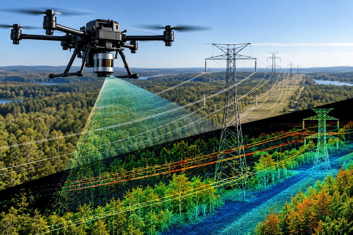
Seneca previously relied on infrared sensors and cameras for collision avoidance, mapping and object detection. Lidar adds another sensing modality, measuring surrounding geometry directly and producing a three-dimensional representation that does not depend on visible-light imagery alone. The company is positioning that additional perception as part of a broader move towards aircraft capable of operating rapidly and with increasing autonomy in difficult wildfire environments.
Briefing
- Seneca is integrating Ouster’s Rev8 OS1 Max lidar into its autonomous wildfire drone platform.
- The OS1 Max offers up to 256 channels and 10.4 million points per second.
- Ouster specifies 200 m range against a 10% reflective target and a 500 m maximum representable range.
- Seneca is developing aircraft for suppression, terrain-following operations, mapping, vegetation management and infrastructure inspection.
- US regulators increasingly accommodate UAS wildfire operations, although BVLOS, high-speed and multiple-aircraft operations continue to require particular regulatory and safety consideration.
Building a Better Picture in Smoke and Terrain
Autonomy in an open field is one problem. Autonomous flight along a wooded slope, around utility infrastructure or towards an active fire presents a considerably more complicated environment.
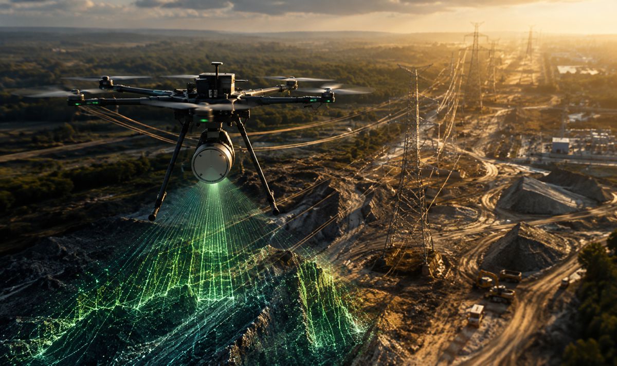
Cameras provide rich visual information but depend on usable imagery. Infrared systems can identify heat sources and remain central to wildfire detection and targeting. Lidar contributes something different: measurements of distance and geometry from which the aircraft can construct a three-dimensional point cloud of its surroundings.
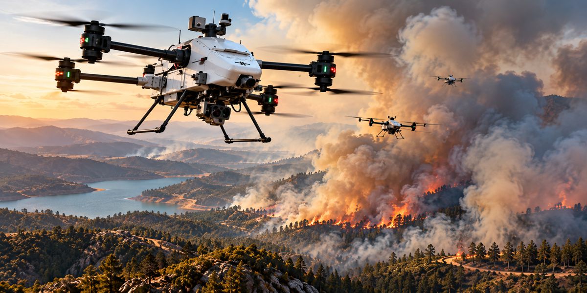
The combination is particularly relevant to Seneca because the aircraft are intended to do more than observe fires. The company’s systems are being developed to carry suppressant, approach fires and operate around infrastructure. Seneca says its platforms use several layers of deconfliction, including autonomous obstacle avoidance, ADS-B and Remote ID alerting alongside camera-based cues. Its system concept also envisages teams of four to six aircraft delivering suppression material while being supervised through a common operating system.
An inspection drone can stop, retreat or reroute when conditions deteriorate. A suppression aircraft carrying a substantial payload towards a specific target has a more constrained mission, while terrain, vegetation and other aircraft may all be changing its available flight path.
Ouster’s OS1 Max has a 45-degree vertical field of view and can produce more than 10 million points per second. The 256-channel configuration provides 0.17-degree vertical angular resolution, while the sensor itself weighs around 670 g.
The balance between sensing performance, weight and power consumption is particularly relevant aboard an electric aircraft. Every payload component competes with suppressant, batteries, communications hardware and other sensors. Ouster lists typical OS1 Max consumption at 15 to 25 W, making perception part of the aircraft’s wider energy and payload calculation rather than an isolated electronics decision.
From Detection to Suppression
Wildfire detection is becoming increasingly automated through cameras, satellites, infrared systems and distributed sensor networks. Turning detection into physical intervention quickly enough to affect the outcome presents a different engineering problem.
Highways.Today has previously explored how coordinated drone swarms could provide that early intervention, using autonomous aircraft to detect and attack fires before they develop into major incidents.
Seneca is approaching that problem with aircraft designed around rapid initial response rather than attempting to reproduce conventional large aerial tankers. Its system is intended to be stationed close to areas at risk, transported by utility vehicles or deployed from field locations without the infrastructure required by conventional firefighting aviation. The company describes applications including initial suppression, hotspot work, prescribed burns, utility patrols and structure protection.
There is already a route towards operational deployment. Aspen Fire Protection District announced a five-year agreement with Seneca in February 2026 for a five-aircraft strike team, mobile operations base and associated software, connectivity and maintenance. Seneca describes it as the first acquisition of a coordinated autonomous wildfire suppression system by a US fire department.
The deployment puts perception performance into an operational setting where it can affect how fast aircraft can fly, where they can operate and how much work can safely be delegated to onboard autonomy.
Native Colour and Sensor Fusion
The Rev8 generation introduces what Ouster describes as native-colour lidar. Rather than combining a lidar point cloud with colour information from a separately calibrated camera later in the processing chain, the sensor associates colour with the three-dimensional data internally. Ouster says this reduces calibration complexity and spatial and temporal alignment problems between separate data streams.
For wildfire operations, lidar does not make cameras or infrared sensing redundant. Thermal information remains valuable for locating hotspots and determining where suppression should be directed. Visible imagery provides information that pure geometry cannot, while lidar adds another layer from which the flight system can determine where objects and terrain physically exist.
A robust autonomous platform is therefore likely to depend on complementary sensors rather than a single perception technology. The engineering challenge moves towards deciding which source to trust under particular conditions and how the aircraft behaves when sensors disagree or degrade.
Reliability at the Edge of the Operating Envelope
Wildfire aircraft encounter an awkward combination of heat, dust, airborne debris, vibration and rapidly changing weather. Seneca specifically cited the environmental qualification of the OS1 Max when explaining its selection.
“Seneca’s fire agency partners operate in some of the most unforgiving environments – obviously heat, but also sometimes extreme cold. Ouster Rev8 OS1 Max has been invaluable in minimizing concerns about sensor durability and performance,” said Stuart Landesberg, CEO of Seneca. “Its IP68/IP69K rating, shock tolerance, and broad temperature range mean we can fly in conditions that would ground other platforms, meaning we can support firefighters, utilities, and communities on missions that were previously unsafe, inefficient, or impossible.”
Ouster specifies the Rev8 OS1 Max for operation between -40°C and +85°C, with IP68 and IP69K protection. The Rev8 platform has also been designed for high shock and vibration resistance.
These are sensor qualification figures rather than evidence that an entire aircraft can operate safely throughout the same environmental envelope. Aircraft batteries, motors, communications systems, suppressant equipment and other electronics have their own operating limitations, so the sensor’s qualification cannot be applied to the aircraft as a whole.
Autonomy Meets Wildfire Airspace
Perception is only one part of making autonomous firefighting aviation practical. The aircraft must also coexist with helicopters, fixed-wing tankers and other emergency aviation operating in tightly controlled and rapidly changing airspace.
The US Federal Aviation Administration already recognises UAS as useful wildfire tools for situational awareness, hotspot detection, mapping, perimeter monitoring and infrastructure damage assessment. It has also developed procedures with the National Interagency Fire Center, US Forest Service and Department of the Interior for coordinating drone operations during wildfires.
Operations involving BVLOS flight, multiple UAS, high speeds or flights close to people can require additional safety analysis and authorisation. Emergency BVLOS approvals can also involve Temporary Flight Restrictions and longer processing than conventional visual-line-of-sight emergency authorisations.
Seneca’s concept adds another dimension because one pilot is intended to supervise multiple aircraft. That could change the economics of aerial wildfire response, while placing greater demands on onboard perception, communications, automated deconfliction and the regulatory framework surrounding the operation.
Perception Becomes Part of the Aircraft
The Ouster partnership fits a wider engineering progression in autonomous machinery. Once a machine begins moving quickly through an uncontrolled environment, perception stops being an accessory and becomes part of the machine’s fundamental architecture.
“Reliable lidar and perception technologies are the foundation of autonomous systems operating in the physical world,” said Angus Pacala, CEO of Ouster. “Our digital lidar equips Seneca with accurate, real-time 3D perception data that enhances environmental awareness and supports safe, reliable autonomous flights for drone-based firefighting missions.”
For Seneca, the immediate problem is more concrete. Its aircraft need to identify terrain, vegetation, structures and other obstacles soon enough to respond while still carrying out the suppression or inspection mission. Longer-range lidar does not solve wildfire aviation, but it gives the autonomy system more information earlier, and therefore more time in which to act.
Key Industry Questions
- What does lidar add to a firefighting drone? It provides precise three-dimensional measurements of terrain and objects around the aircraft, supporting navigation, mapping and obstacle avoidance.
- How far can Ouster’s OS1 Max detect objects? Ouster specifies 200 m range against a 10% reflective target and a maximum representable range of 500 m. Actual usable detection performance depends on the target and operating conditions.
- Does lidar replace infrared cameras for wildfire operations? No. Infrared sensing is valuable for detecting heat and hotspots, while lidar principally provides distance and geometric information. The technologies can perform complementary roles.
- Can Seneca’s aircraft fly completely autonomously? Seneca describes an autonomy architecture in which a single pilot can supervise multiple aircraft. The precise degree of permitted autonomy depends on the mission and applicable aviation authorisations.
- Why is long-range perception useful on a drone? Detecting terrain or obstacles earlier gives the flight-control system more time and distance to calculate and execute an avoidance manoeuvre.
- Are drones already being used on US wildfires? Yes. The FAA identifies applications including situational awareness, hotspot detection, perimeter mapping and infrastructure assessment.
- Where do autonomous firefighting drones fit alongside conventional aircraft? Seneca is targeting rapid initial response, targeted suppression, hotspot work, mapping and infrastructure operations. These missions can complement helicopters and large tankers rather than requiring autonomous drones to reproduce their payload or operating model.
- Why does operating several drones from one pilot matter? It potentially allows suppression capacity to scale without requiring a separate pilot for every aircraft, although doing so places greater demands on autonomy, communications, perception and regulatory approval.
Strategic Takeaways
- Longer detection range increases the time available to autonomous aircraft for obstacle recognition and avoidance.
- Lidar, infrared and visible cameras provide different forms of information, making sensor fusion more useful than dependence on a single sensing technology.
- Suppression missions impose different perception requirements from conventional mapping and observation flights because the aircraft must approach specific locations while carrying useful payload.
- Multi-aircraft supervision makes dependable onboard autonomy increasingly important rather than merely convenient.
- Wildfire drone development is moving beyond detection and mapping towards physical intervention, while aviation regulation remains a significant part of deployment.