






Trimble Integrates Drone Photogrammetry into WorksManager for Civil Construction
Trimble has introduced cloud-based drone photogrammetry processing directly into its WorksManager construction management platform, allowing civil contractors to turn aerial survey imagery into measurements and site information without moving between separate processing applications.
Announced on 5 November 2026, WorksManager Drone brings terrain modelling, volume calculations and cut-and-fill assessments into the same environment used to manage construction designs and machine data. Site supervisors and project managers can compare current ground conditions with design surfaces and as-built records, bringing survey information closer to daily earthworks operations.
The development extends the capabilities of Trimble WorksManager, which already supports the distribution of construction models and the visualisation of site data. Rather than preparing photogrammetry outputs in a separate application for subsequent import, contractors will be able to process drone imagery within the platform and examine the results alongside other project information.
Briefing
- Trimble has introduced WorksManager Drone, integrating cloud-based photogrammetry processing into its construction management software.
- Contractors can compare processed aerial surveys with design surfaces, machine information and as-built records.
- The system supports volume calculations, cut-and-fill assessments, site measurements and material verification.
- Ground control point integration, processing validation and selectable output resolutions form part of the workflow.
- Commercial availability is expected in January 2027 through Trimble dealers, initially supporting DJI and Wingtra drones.
Connecting Drone Surveys with Earthworks Operations
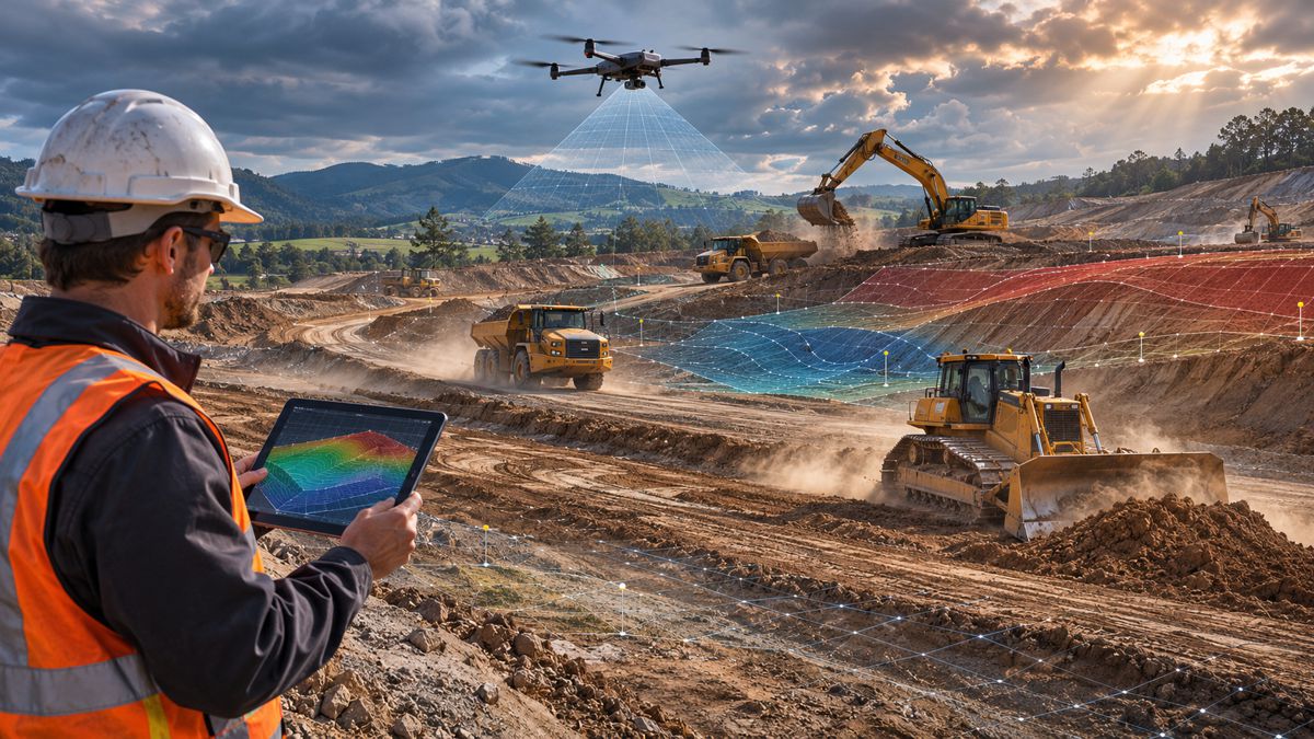
Drone photogrammetry uses overlapping aerial photographs to reconstruct the geometry of the ground and visible objects. With appropriate positioning and survey control, the resulting information can be used to generate georeferenced orthomosaics, terrain models and three-dimensional representations of construction sites.
For earthworks contractors, these datasets are particularly useful when comparing existing ground conditions with design surfaces. Repeated surveys can help establish how much material has been excavated or placed, identify discrepancies in grading and provide an updated record of work completed across extensive or difficult-to-access sites.
The challenge frequently comes after the flight. Imagery must be transferred, processed, checked and aligned with the project’s coordinate system before quantities or measurements can be relied upon. The resulting information must then reach the supervisors and managers responsible for the work, often through several separate applications and reporting processes.
WorksManager Drone brings more of that activity into Trimble’s construction software environment. Users can overlay processed aerial data with project designs, surveyed surfaces and machine information, allowing comparisons to be made without repeatedly exporting datasets between disconnected systems.
Processing and Survey Accuracy
Trimble has outlined a four-stage processing workflow covering data upload, ground control point selection, processing configuration and final review.
During upload, the system can validate the raw dataset and identify image gaps before processing begins. Users can then select ground control points captured through Trimble’s site positioning systems, configure the required outputs and choose between low-, medium- and high-resolution processing according to the project’s requirements.
Integration with Trimble Siteworks supports the use of ground control points, while compatible RTK GNSS-equipped drones can use positioning corrections to improve the accuracy of the resulting survey data.
Reliable volume calculations depend on the accuracy of the underlying surfaces, the coordinate reference system and the quality of the original observations. The appropriate combination of ground control, GNSS positioning and independent verification depends on the accuracy required and the conditions in which the survey is undertaken.
Trimble describes the system as capable of survey-grade accuracy when suitable positioning and control procedures are followed. Actual performance will depend on the equipment, survey methodology and site conditions, particularly where aerial measurements are used to establish contractual quantities or verify engineering tolerances.
The company’s existing WorksManager documentation also distinguishes between ground and grid measurements, a consideration for contractors working with projected coordinate systems or local site calibrations.
Bringing Measurements Closer to Site Management
One of the practical applications is the ability to place cut-and-fill information directly in front of supervisors and project managers.
A drone survey can provide an extensive record of earthworks progress, but its usefulness depends on how that information is presented. A foreman comparing current ground conditions with the construction model needs measurements and identifiable differences rather than simply another three-dimensional visualisation.
Markham Contracting, an American civil construction contractor, has been using the new functionality. Joe Zapien, the company’s field technology manager, described the reduction in manual coordination involved in checking material quantities.
“In the past, verifying on-site material volumes required a lot of manual coordination,” he said. “Trimble WorksManager Drone allows us to quickly process flight data, putting 3D visuals and cut-fill site metrics right in the hands of our foremen and project managers. Bringing that real-time visibility to the field gives us the clarity to make immediate, informed design changes and site decisions.”
The account provides an indication of the intended operational benefits, although Trimble has not published independently verified figures for processing speed, labour savings or measurement performance associated with the new product.
Expanding the Connected Construction Environment
The new functionality extends Trimble’s existing portfolio of construction positioning and machine-control technologies.
WorksManager provides connectivity between the construction office and field equipment, including the distribution of updated designs to compatible machines. Trimble Siteworks supports site positioning and data collection, while the Trimble Earthworks grade-control platform helps operators work against digital construction models.
Drone processing adds another source of measured site information. Contractors can compare an aerial survey of completed work with the design information being used by their machines, alongside other surveyed and as-built data.
A machine-control model represents the intended construction geometry, while a drone survey records visible site conditions at the time of capture. Comparing the two provides a means of checking progress and identifying differences, although an aerial survey alone cannot establish whether every element of a project meets its design specification.
Trimble has positioned the product within its wider Trimble Connect ecosystem, which supports collaboration and data management across construction projects.
Elwyn McLachlan, vice president of civil construction product and strategy at Trimble, said: “Civil contractors shouldn’t have to juggle fragmented tools in order to see what’s happening on-site.”
The company sees the new capability as a way of connecting photogrammetry results more closely with the construction activities they are intended to support.
Contractors already using Trimble’s positioning, machine-control and site management products can add drone processing to an established workflow rather than introducing another standalone application. Those operating mixed fleets or using several software providers will need to assess compatibility, supported data formats and how readily information can move between their existing systems.
Availability and Deployment
Trimble WorksManager Drone is expected to become commercially available in January 2027 through the company’s global dealer network.
The initial announcement identifies compatibility with drones from DJI and Wingtra, both established suppliers of professional aerial surveying equipment. Contractors will need to confirm support for their particular aircraft, sensors and data collection methods before deployment.
The software is being demonstrated at the Trimble Dimensions User Conference in Las Vegas in November 2026, providing an opportunity to examine the workflow ahead of commercial availability.
Pricing, licensing arrangements and independently measured processing performance have not been established in the published announcement. These details will influence comparisons with specialist photogrammetry applications, particularly for contractors processing large datasets or managing multiple projects.
Cloud-based processing also brings practical considerations around file transfer, internet connectivity and data management. Large drone surveys can involve substantial imagery datasets, and upload speeds may become a constraint on remote construction sites.
For companies conducting frequent drone surveys across active earthworks projects, the practical test will be how reliably the system handles large datasets, maintains measurement accuracy and delivers usable information to the field. Trimble has brought the processing environment closer to construction operations. Its value will become clearer once contractors begin using it across routine production cycles.
Key Industry Questions
- What is Trimble WorksManager Drone? WorksManager Drone is a cloud-based processing capability that allows civil contractors to convert drone imagery into usable site data within the Trimble WorksManager construction management platform.
- How is it different from existing WorksManager functionality? WorksManager already supports the visualisation of imported drone imagery and survey information. The new functionality adds the ability to process drone datasets directly within the platform.
- Which drones are supported? Trimble has announced compatibility with DJI and Wingtra drones. Contractors should confirm supported aircraft, sensors and file formats with Trimble before deployment.
- Can the software calculate excavation and fill volumes? Yes. Processed survey surfaces can be compared with project designs and other site data to support volume measurements and cut-and-fill assessments.
- Does WorksManager Drone require ground control points? The platform supports ground control point integration through Trimble Siteworks and positioning information from compatible RTK GNSS drones. The appropriate survey control method depends on accuracy requirements and site conditions.
- Can it replace conventional surveying? It can complement conventional surveying by capturing extensive surface information, but the suitability of drone-derived measurements depends on accuracy requirements, site visibility and appropriate verification procedures.
- Does the software automatically update machine-control models? The announced functionality supports the comparison of drone data with machine and design information. Trimble has not established that drone processing automatically modifies or approves construction models for machine use.
- When will Trimble WorksManager Drone be available? Commercial availability is expected in January 2027 through Trimble’s global dealer network.
Strategic Takeaways
- Integrating photogrammetry into construction management software reduces the number of separate processing and data transfer stages between drone surveys and site reporting.
- Cut-and-fill measurements become more accessible to field supervisors when survey outputs can be examined alongside current construction designs.
- Ground control, coordinate systems and survey validation remain essential when aerial measurements are used for engineering or contractual purposes.
- Contractors already using Trimble’s construction technology may benefit from simpler data management, while mixed-platform operations require closer compatibility assessment.
- Processing performance, licensing costs and deployment requirements will determine how the integrated workflow compares with specialist photogrammetry applications.