7 Best Drone Mapping Software for Solar Farms in 2026
A solar farm can cover hundreds or even thousands of acres, yet some of its most expensive problems may begin in an area smaller than a single module.
A misaligned tracker row propagates construction errors across an entire section. A hotspot indicates a failing cell or electrical issue that is invisible from the ground. Vegetation creeps into production areas between site visits. A storm leaves damage scattered across a site that would take technicians days to inspect manually.
The 7 Best Drone Mapping Software Platforms for Solar Farms
1. vHive – Best for Autonomous Utility-Scale Solar Mapping
vHive combines autonomous drone capture, digital twin generation, and AI-driven analytics in its SolarAI platform powered by the WorldTwinAI™ engine, designed to digitize large physical assets, including utility-scale solar farms. Its biggest differentiator begins before the imagery reaches the cloud.
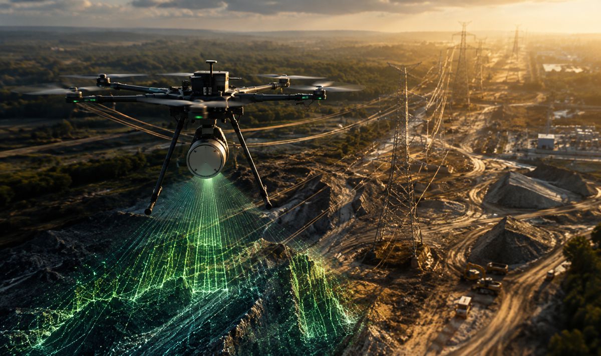
vHive Capture coordinates multiple off-the-shelf drones flying autonomously across the same solar site. The software divides large areas into flight sections and assigns work across the available drones, allowing several aircraft to collect data in parallel rather than requiring one drone to complete the entire survey sequentially. vHive has a special waiver from the FAA that allows a single operator or a team to manage up to four drones simultaneously and cover more than 100 MW during the constrained thermal inspection window.
That has implications for both speed and data consistency. Thermal inspections depend on appropriate solar irradiance, so completing more of the farm during the same environmental conditions produces a more consistent dataset.
vHive SolarAI also supports RTK positioning for precision-critical mapping, including solar panel layouts. Captured data is uploaded to the cloud and converted into digital twins via the WorldTwinAI™ engine that can be analyzed through AI and computer vision.
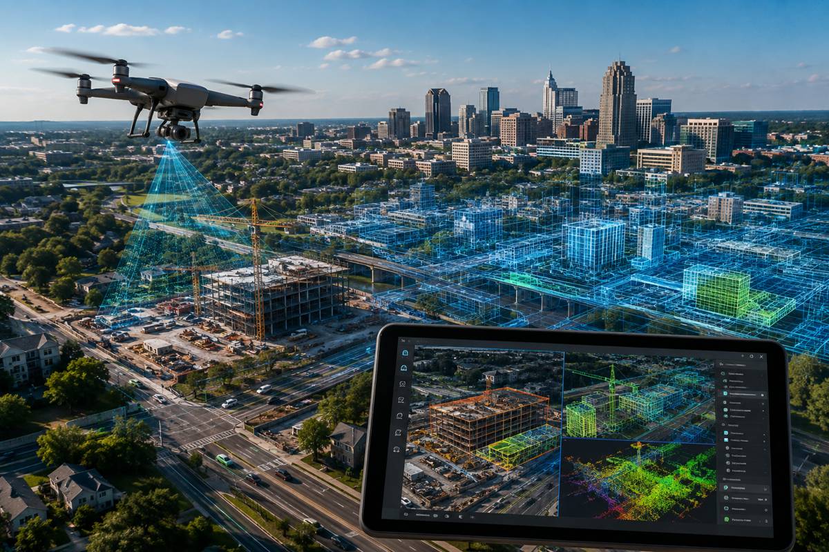
For construction teams, repeated flights produce orthomosaics and photogrammetry-based digital twins that are compared with CAD or BIM plans to identify positional deviations, monitor construction progress, and verify as-built conditions. vHive’s solar construction workflows capture grading, structural positioning, panel placement, tilt, and other measurable site information.
During operations, the same digital environment supports thermal and RGB inspection, anomaly detection, maintenance prioritization, and historical asset monitoring.
Relevant capabilities include:
- Autonomous single and multi-drone flight
- Automated mission planning
- Off-the-shelf drone support
- RTK and GCP support
- Orthomosaic generation
- Photogrammetry-based digital twins
- Thermal and RGB inspection
- AI-assisted fault detection
- As-built versus design comparison
- Portfolio-level asset visualization
- Construction progress tracking
- Repeatable in-house inspections
2. Raptor Maps – Best for Solar-Specific Digital Twins and Inspection Intelligence
Raptor Maps is deeply focused on solar operations and has built its mapping environment around the idea that every inspection finding should belong to a specific location and asset.
Its platform creates an interactive digital twin for each solar site. Inspection results, detected anomalies, equipment information, maintenance history, and field activity can all be associated with the map rather than delivered as disconnected reports.
Relevant capabilities include:
- Solar-specific digital twins
- Equipment-level geolocation
- Thermal and visual anomaly mapping
- Historical inspection records
- Construction and as-built verification
- Mobile access for field technicians
- Offline field workflows
- Serial-number and equipment data association
- Portfolio-wide solar analytics
- Autonomous drone mission support
- API access and data integration
3. Zeitview – Best for Managed Drone Mapping Across Distributed Solar Portfolios
Zeitview combines solar mapping software with a large-scale data-capture service model. That distinction is important for solar asset owners managing sites across multiple regions. Building an internal drone operation requires aircraft, pilots, training, regulatory processes, flight planning, maintenance, and consistent capture standards.
Zeitview provides another route by coordinating field collection and delivering the resulting information through its solar platform. Construction progress monitoring uses time-based imagery and analytics to track development and identify emerging risks during the build. Thermal inspections use aerial data to assess anomalies and support corrective maintenance. Serial ID mapping connects individual module identification with the digital solar environment, allowing maintenance teams to associate physical equipment with inspection and operational information.
Relevant capabilities include:
- Solar construction mapping
- Time-series aerial imagery
- Thermal inspections
- Solar asset analytics
- Serial ID mapping
- Managed drone data collection
- Portfolio-level inspection programs
- Progress monitoring
- Corrective maintenance support
- Specialized solar data collection
4. SenseHawk – Best for Connecting Drone Maps With Solar Construction Workflows
SenseHawk treats mapping as the geospatial foundation for managing a solar project rather than as a standalone aerial deliverable. Its platform is organized around three connected concepts: a map twin, equipment twin, and process twin.
The map twin brings together drone orthomosaics, terrain models, GIS information, CAD layers, and design context in the same geospatial environment. The equipment twin adds information about modules, strings, inverters, transformers, substations, datasheets, warranties, inspection results, and maintenance records. The process twin connects inspections, approvals, workflows, punch lists, and other project activity back to the physical asset.
Relevant capabilities include:
- Drone orthomosaic ingestion
- Digital elevation models
- CAD and GIS overlays
- Design-to-field comparison
- Construction progress measurement
- Map-based equipment records
- Serialized component tracking
- Inspection workflows
- Punch-list management
- Field issue tracking
- Construction-to-operations asset records
5. Sitemark – Best for Mapping Solar Projects Across Construction and Operations
Sitemark provides a renewable-energy platform that uses drone imagery, robotics, digital mapping, AI analysis, and field workflows across the solar asset lifecycle.
For early stage solar development, Sitemark can use drone surveys to collect topographic and environmental information that feeds design and feasibility work. The platform can generate terrain data, elevation information, and other mapping outputs that can be exported into tools such as PVsyst, PVcase, Helios 3D, Virto Solar, and RatedPower.
Relevant capabilities include:
- Topographic drone surveys
- Terrain and elevation mapping
- Design-software exports
- Construction progress mapping
- Digital site records
- Thermal inspection
- Visual anomaly detection
- Geolocated findings
- Corrective-action workflows
- Automated inspection reporting
- Drone and robotics integration
6. SkyVisor – Best for In-House Renewable Energy Mapping Workflows
SkyVisor is built around helping renewable-energy teams perform repeatable inspections and mapping with their own personnel.
Its construction solution supports fully automated drone flights with terrain following, high-resolution imagery collection, survey-grade orthomosaics, and digital surface models. SkyVisor also supports distance and surface measurements, AI-assisted detection of site components, comparison with CAD designs, and management of construction anomalies.
Relevant capabilities include:
- Automated drone flights
- Terrain-following missions
- Orthomosaic creation
- Digital surface models
- High-resolution solar imagery
- Construction component detection
- CAD design comparison
- Digital twin workflows
- Field collaboration
- Asset condition history
- Renewable-energy-specific inspection workflows
7. DroneDeploy – Best for Flexible Mapping Across Solar and Other Infrastructure
DroneDeploy is a broader reality-capture platform, but its renewable-energy capabilities make it highly relevant for solar farms.
The platform can map solar arrays, substations, access areas, and surrounding infrastructure using repeatable drone flights. Teams can generate high-accuracy orthomosaics and 3D models, perform thermal passes, measure site features, and maintain time-stamped visual records of changing conditions.
Relevant capabilities include:
- Automated aerial mapping
- Orthomosaic generation
- 3D models
- Thermal mapping
- RTK and PPK workflows
- Construction documentation
- Measurements and annotations
- Historical map comparison
- Docked drone support
- Ground robotics
- Managed data capture
- Solar and renewable-energy workflows
The Four Maps Solar Teams Actually Need
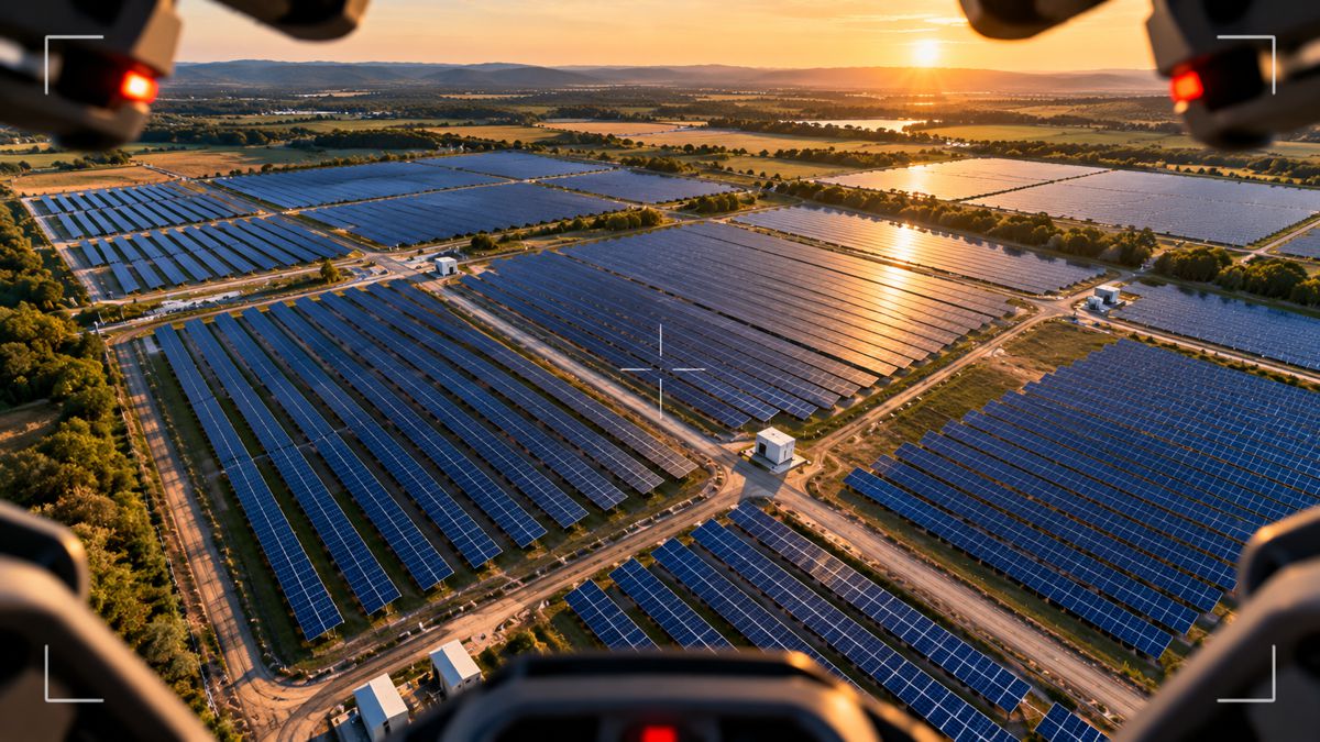
Calling all drone outputs a “map” hides the fact that different teams need very different representations of the same solar site. A strong drone mapping program typically develops at least four.
1. The Design and Terrain Map
This map matters before most of the equipment exists. Drone imagery and photogrammetry can provide information about:
- Site boundaries
- Elevation
- Slopes
- Drainage
- Access routes
- Existing structures
- Vegetation
- Grading conditions
Solar development and engineering teams use this information to improve layout planning and compare site reality with earlier survey information.
A mapping platform becomes more valuable when those outputs can move into solar design or engineering software rather than existing only as aerial imagery.
2. The Construction Reality Map
Once work begins, the map becomes a way to answer a different question:
Does what is being built match what was designed?
Repeated drone flights document piles, tracker rows, module installation, roads, equipment pads, substations, trenches, and other project elements.
Overlaying this information with CAD or BIM files allows construction teams to detect positional deviations earlier.
The important capability is repeatability. A single drone flight provides documentation. Weekly or milestone-based flights create a measurable construction history.
3. The Thermal Condition Map
After energization, the solar farm becomes an electrical asset rather than only a construction project.
Thermal mapping helps teams identify abnormal heat patterns associated with faults such as hotspots, diode issues, strings, connection problems, and other forms of underperformance.
For these maps to be operationally useful, the software needs to preserve location. Technicians should not have to search rows of nearly identical modules using a thermal screenshot. The finding should be associated with the physical site and ideally with the relevant equipment record.
4. The Living Digital Twin
The most mature mapping programs stop treating each inspection as a separate dataset. Instead, each flight updates the digital representation of the asset.
Over time, the map accumulates:
- Inspection history
- Equipment identity
- Fault records
- Maintenance actions
- Construction documentation
- Serial numbers
- Performance information
- Field notes
- Images
- Design changes
- Warranty documentation
This is where drone mapping begins to function as asset infrastructure rather than simply a surveying tool.
From Drone Flight to Solar Maintenance: What the Workflow Should Look Like
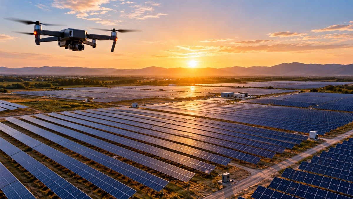
A complete solar drone mapping workflow has several distinct stages.
Capture
The drone collects RGB, thermal, or other sensor data using a repeatable mission.
For large solar farms, automation is important because flight patterns must cover long rows consistently and may need to operate inside constrained thermal conditions.
Process
The software converts large collections of images into useful geospatial outputs.
These may include:
- Orthomosaics
- Digital surface models
- 3D models
- Thermal maps
- Digital twins
Analyze
Computer vision and AI can identify anomalies or changes in the dataset. For solar assets, analysis may cover module faults, vegetation, tracker issues, construction deviations, damage, erosion, or other conditions.
Locate
Every meaningful finding needs a precise position. For high-value workflows, the system should associate findings with individual pieces of equipment rather than merely placing a marker somewhere on the site.
Prioritize
A map containing thousands of findings can create another data problem. Analytics should help teams understand which issues deserve immediate attention and which can be incorporated into planned maintenance.
Execute
The insight reaches the field. Technicians should be able to navigate to the issue, understand the finding, record what they did, and update its status.
Preserve
The inspection becomes part of the site’s permanent history. The next flight adds another layer rather than starting from zero.
Frequently Asked Questions About Solar Farm Drone Mapping Software
- What is drone mapping software for solar farms? Solar drone mapping software converts aerial imagery into structured maps, models, and asset data. It can produce orthomosaics, digital twins, thermal maps, terrain models, construction records, and geolocated inspection findings that help solar teams manage development, construction, commissioning, and ongoing operations.
- What is the difference between drone mapping and drone inspection? Drone mapping focuses on creating an accurate geospatial representation of the site. Drone inspection focuses on identifying asset conditions or faults. Modern solar platforms frequently combine both so that detected thermal or visual anomalies can be placed directly on the digital map of the farm.
- Can drones map very large utility-scale solar farms? Yes. Automated flight planning makes it possible to divide large sites into repeatable missions. Platforms such as vHive’s SolarAI powered by the WorldTwinAI™ engine coordinate multiple drones simultaneously, allowing large areas to be captured within shorter periods and helping utility-scale teams complete inspections during appropriate operating conditions.
- Why is thermal mapping important for solar farms? Thermal cameras can reveal abnormal temperature patterns that are difficult or impossible to identify from standard RGB imagery alone. Once those findings are geolocated on a solar map, maintenance teams can navigate to the affected area and investigate the relevant module, string, connection, or other equipment.
- Can drone maps be used during solar construction? Yes. Drone mapping can document grading, roads, foundations, trackers, module installation, electrical infrastructure, and other construction activity. Repeated flights can be compared with project designs and earlier captures to measure progress and identify deviations before they propagate further through the build.