Leica Geosystems and Autodesk expand collaboration to streamline construction documentation
Leica Geosystems, part of Hexagon, today announced further cooperation with Autodesk to offer streamlined communication construction documentation and collaboration by integrating the field software Leica Captivate and iCON with Autodesk BIM 360.
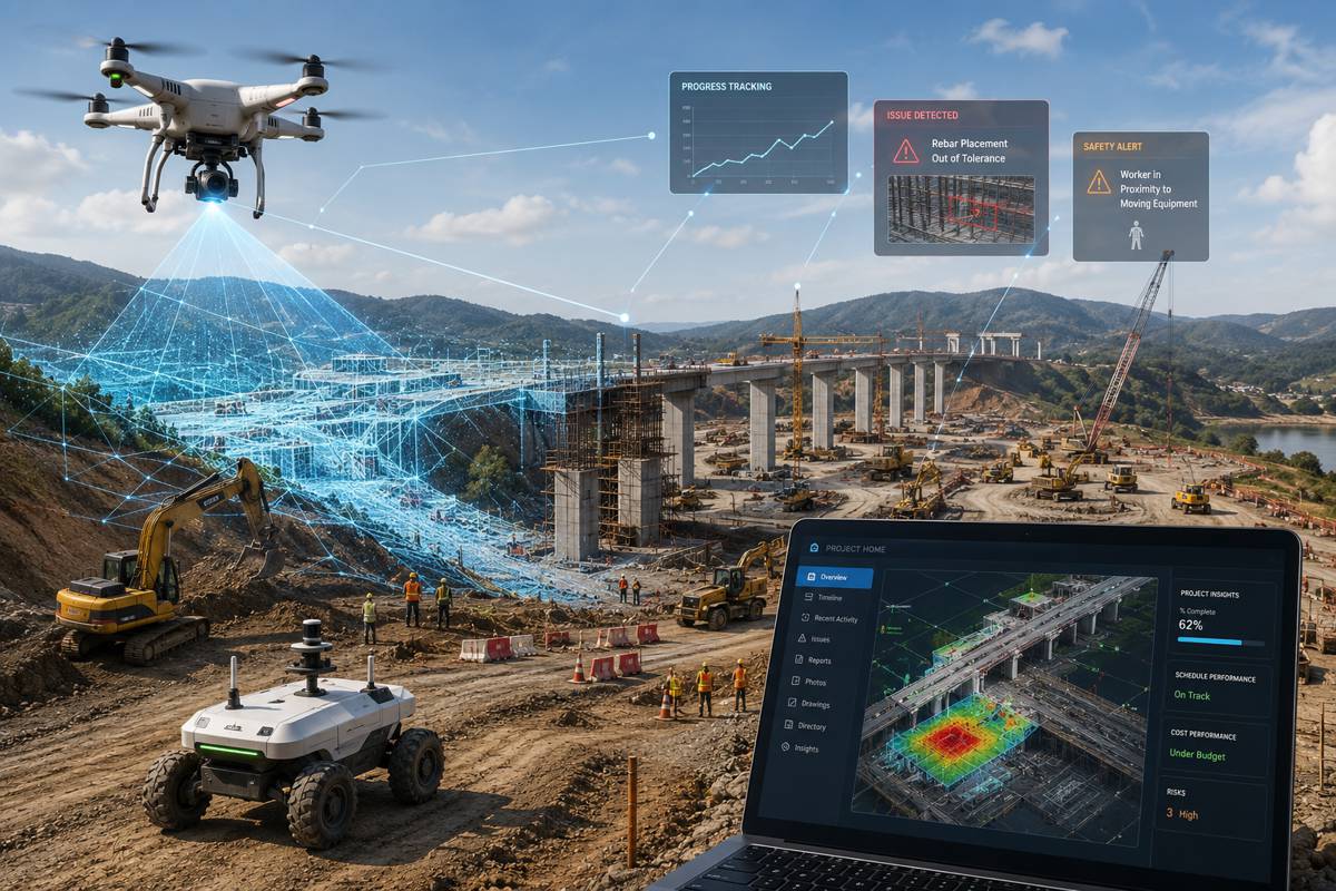
With the increasing complexity of construction projects and massive amounts of information generated, interoperability with various information systems and industry standards is a requirement for project success. The two organisations are once again joining forces to bring new efficiencies in building construction. Professionals can now implement streamlined workflows based on reliable, high-accuracy data and workable 3D models.
“As a user of Leica iCON and of Autodesk BIM 360, BAM are excited to see the progress both companies are making in further integrating their solutions. We believe this new integration will not only save us time in the field by making it easier to ensure our site teams have access to the latest information, but also within our workflows. Transferring information directly between the instrument and our BIM 360 environment is another step to removing the silos of more traditional workflows,” said Simon Tritschler, technical deployment specialist at BAM Ireland.
Efficiency gains from working together
Streamlining construction workflow helps to optimise efficiency and increase transparency both on the jobsite and in the office. By connecting Autodesk BIM 360, a leading construction management platform, with Captivate and iCON field software, customers will be able to create seamless workflows between office and field.
This collaboration will allow the following supported data flows:
- Connectivity to Autodesk BIM 360 for Captivate and iCON
- Data exchange via cloud-based services between office and field
- Straightforward data flow from point creation in the design to construction layout on site to validation back in the office
- DWG support for Captivate and iCON
“The construction industry uses various separate systems, diverse software and standalone applications to communicate and collaborate on site and in the office. Many of those tools are not interoperable, resulting in long working hours spent on exchanging data between systems,” said Bernd Moeller, Leica Geosystems business director field software. “With our continued working relationship with Autodesk, our aim is to bring unsurpassed functionality and connectivity to the market.”

Bringing together expertise
Since 2015, the beginning of this important alliance between the two technology leaders in the Architecture, Engineering and Construction (AEC) market, customers have benefitted from a broader range of integrated solutions. This continued collaboration helps to implement more connected and streamlined workflows of the highest quality across applications.
“Leica Geosystems and Autodesk continue to help address a big problem found on today’s increasingly digital construction site, which is the challenge of disconnected data and processes,” said Josh Cheney, industry strategy manager for Autodesk Construction Solutions. “Together, Autodesk and Leica Geosystems enable our shared customers to break down data silos so they may have access to higher quality, connected information on a single platform.”