Geo Connect Asia 2026 Uniting Data and Infrastructure Delivery
The sixth edition of Geo Connect Asia 2026 opens in Singapore at a moment when infrastructure delivery is undergoing a profound digital shift. Hosted at the Sands Expo and Convention Centre, the two-day gathering brings together more than 3,000 attendees, ranging from government agencies and regulators to enterprise decision-makers and technology specialists working at the intersection of geospatial intelligence, construction, and autonomous systems.
This year’s theme, Transforming Technology into Solutions: Underground, Land and Sea to Sky, reflects a sector that is no longer experimenting with digital tools but actively deploying them across real-world infrastructure environments. The presence of public sector leaders from Singapore, alongside regional stakeholders, signals a growing recognition that geospatial data, artificial intelligence, and automation are becoming foundational to planning, building, and managing infrastructure assets at scale.
The event is officially opened by Eric Chua, Senior Parliamentary Secretary at Singapore’s Ministry of Law and Ministry of Social and Family Development, reinforcing the importance of geospatial technologies in governance and urban development. With more than 100 exhibitors and over 150 speakers across seven stages, the programme reflects the breadth of innovation now shaping infrastructure systems, from underground utilities to maritime networks and aerial mapping platforms.
Briefing
- Geo Connect Asia 2026 gathers over 3,000 industry professionals in Singapore
- More than 150 speakers and 100 exhibitors span geospatial, construction, robotics and maritime sectors
- Strong government participation highlights policy and infrastructure integration
- Co-located events expand focus to digital construction, drones, and ocean technologies
- AI, autonomy and geospatial data emerge as core enablers of infrastructure delivery
A Regional Hub for Infrastructure Intelligence
Singapore has steadily positioned itself as a global hub for urban innovation, and events such as Geo Connect Asia underline that ambition. The city-state’s investment in smart city infrastructure, digital twins, and integrated planning frameworks has made it a natural meeting point for industry leaders looking to deploy scalable solutions across Asia-Pacific.
The involvement of the Singapore Land Authority as a supporting body reflects how geospatial data is now embedded within national planning strategies. Across Southeast Asia, infrastructure demand continues to grow, driven by urbanisation, logistics expansion, and climate resilience requirements. According to the Asian Development Bank, the region requires trillions of dollars in infrastructure investment by 2030, with digital tools expected to play a central role in improving efficiency and reducing risk.
Geo Connect Asia positions itself squarely within this landscape, acting as a bridge between technology providers and infrastructure stakeholders. The event’s structure, combining exhibition and conference formats, allows participants to move from high-level strategy discussions to hands-on demonstrations of emerging technologies.
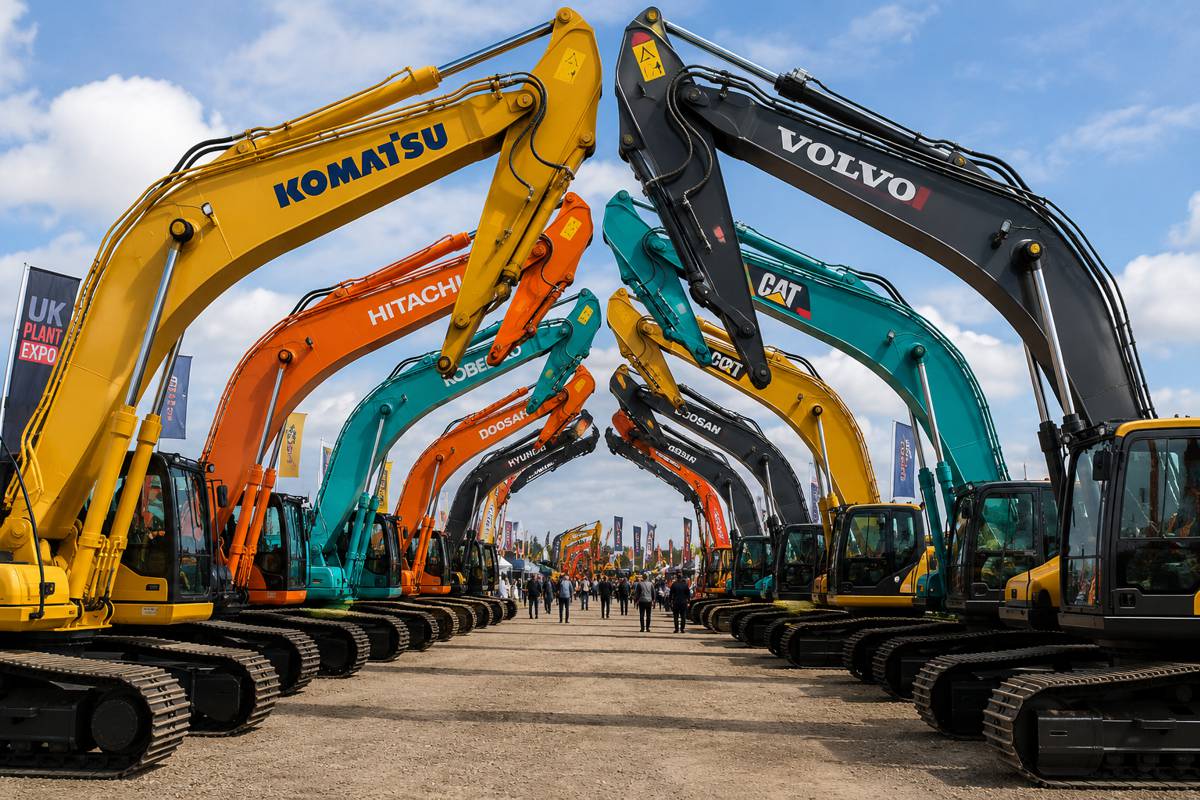
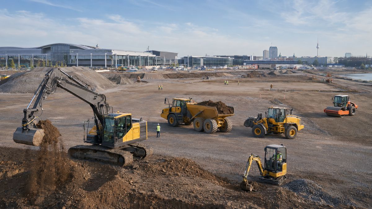
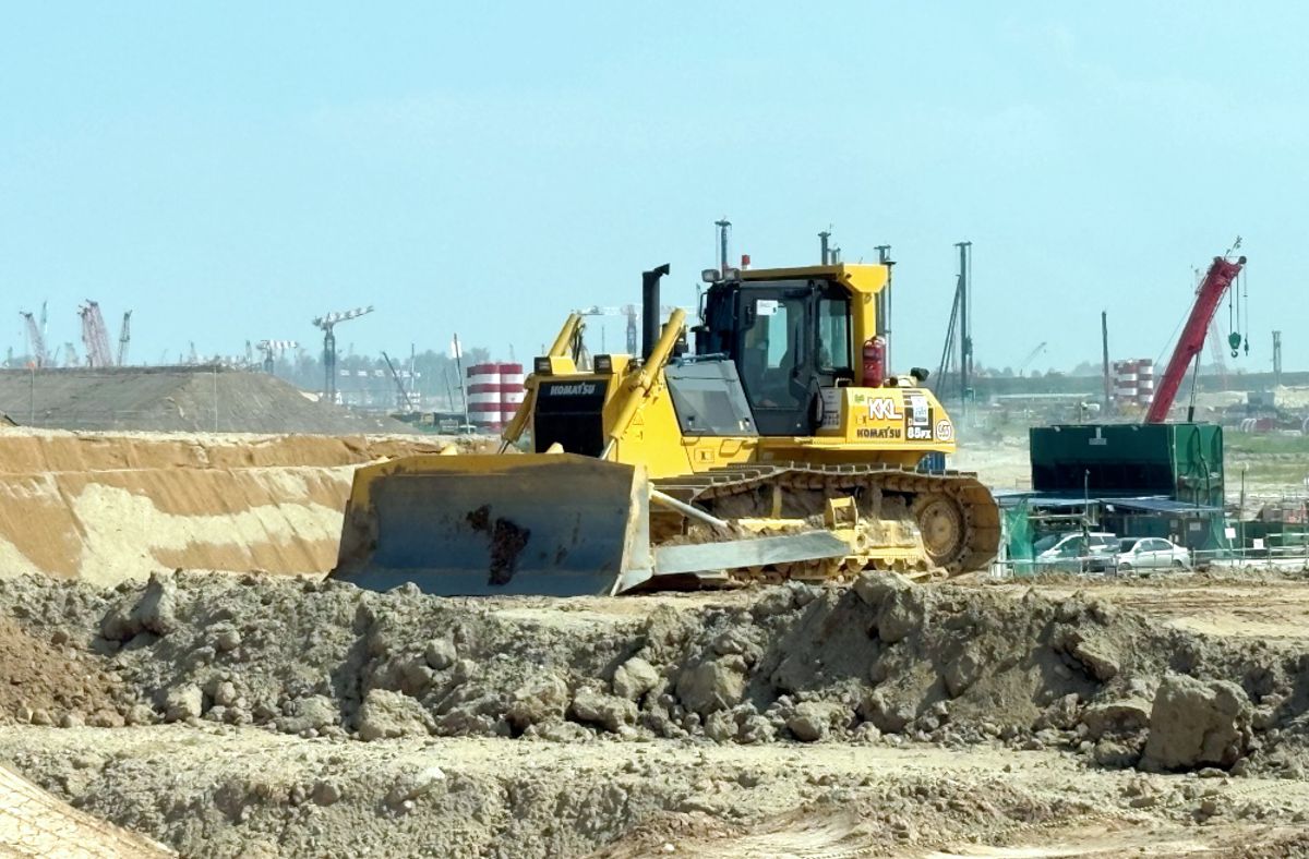
Integrating Digital Construction and Geospatial Workflows
One of the defining features of this year’s event is its integration with Digital Construction Asia 2026. This co-located programme reflects a broader industry trend in which geospatial data is no longer siloed but integrated directly into construction workflows.
Digital construction technologies, including Building Information Modelling and real-time site monitoring, increasingly rely on accurate geospatial inputs. The combination of satellite positioning, drone mapping, and sensor data enables project teams to maintain a continuous digital representation of assets throughout their lifecycle.
Companies such as Trimble and Leica Geosystems are showcasing solutions that link field data collection with design and asset management platforms. These integrated ecosystems are helping contractors and asset owners reduce rework, improve safety, and optimise resource allocation, particularly on large-scale infrastructure projects.
At the same time, the inclusion of emerging players such as Fixposition and OXTS highlights the growing role of precise positioning technologies in enabling autonomous construction equipment and robotics.
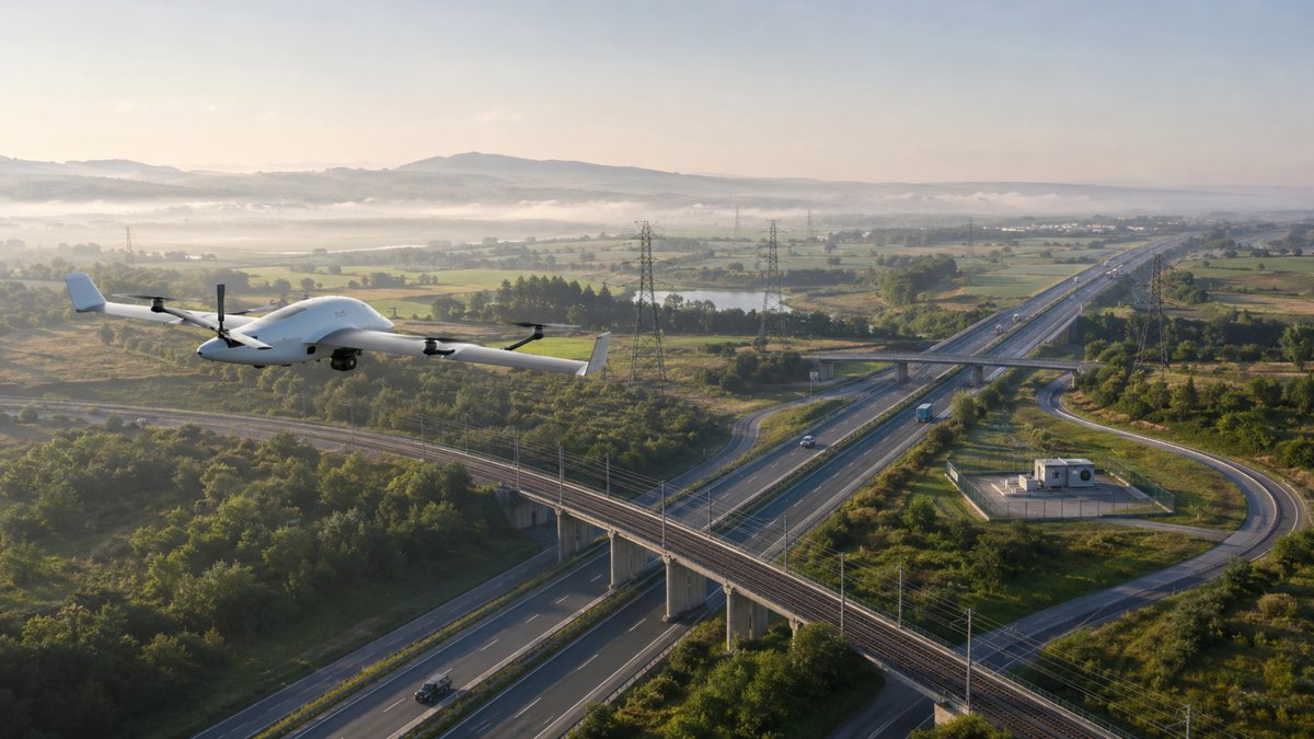
AI and Autonomy Move from Concept to Deployment
Artificial intelligence and autonomy are no longer confined to research labs. Across multiple sessions, including the Geo Autonomy Summit, the focus has shifted to practical deployment and measurable outcomes.
Industry experts such as Ed Parsons and Alain Waha are contributing to discussions on how geospatial data and AI can be translated into operational insights. These conversations extend beyond theory, addressing challenges such as data interoperability, governance, and scalability.
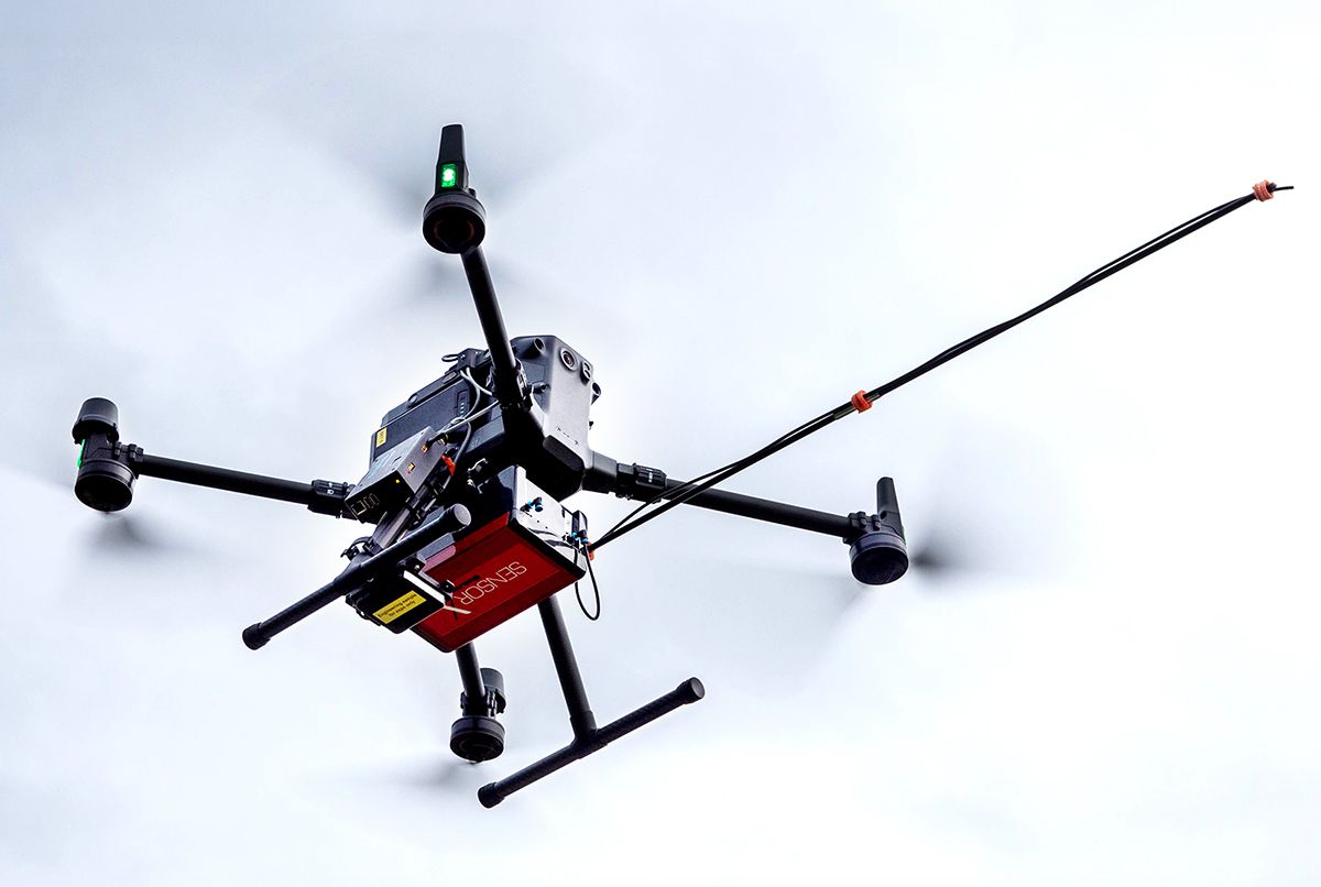
Autonomous systems are increasingly being deployed in surveying, inspection, and logistics. Drones and uncrewed vehicles can now capture high-resolution data across difficult or hazardous environments, reducing the need for manual intervention. Meanwhile, AI-driven analytics are helping organisations interpret this data, identifying patterns and anomalies that would be difficult to detect using traditional methods.
The integration of AI into infrastructure workflows also raises important questions around data security, ethics, and workforce transformation. As automation becomes more widespread, the industry must balance efficiency gains with the need to maintain oversight and accountability.
Expanding into Maritime and the Blue Economy
The addition of Ocean Connect Asia signals a growing recognition of the maritime sector’s role in the broader infrastructure ecosystem. Ports, shipping routes, and offshore assets are critical components of global supply chains, and their management increasingly relies on geospatial intelligence and autonomous systems.
Singapore’s position as one of the world’s busiest ports makes it an ideal setting for these discussions. Representatives from the Maritime and Port Authority of Singapore are contributing insights into how digital technologies are being used to enhance port operations, improve safety, and reduce environmental impact.
The concept of a “blue economy” is gaining traction, particularly in regions where coastal and marine resources play a significant economic role. Technologies such as autonomous vessels, underwater robotics, and AI-driven monitoring systems are enabling more sustainable management of these resources.
This maritime focus also highlights the interconnected nature of modern infrastructure. Land-based logistics networks, ports, and maritime routes must operate as a cohesive system, supported by accurate and timely data.
Underground Infrastructure and the Hidden Layer of Cities
While much attention is often given to visible infrastructure, underground assets represent a critical but often overlooked component of urban systems. Utilities, tunnels, and transport networks form the backbone of cities, yet they are frequently poorly mapped and difficult to manage.
The Underground Connect segment of the event addresses this challenge, exploring how geospatial technologies can improve the mapping and management of subsurface infrastructure. Accurate underground data is essential for reducing the risk of utility strikes, minimising project delays, and ensuring the safety of construction workers.
Advances in ground-penetrating radar, sensor technologies, and data integration are making it possible to create more detailed and reliable models of underground environments. These models can then be integrated into broader digital twin frameworks, providing a comprehensive view of infrastructure assets both above and below ground.
A Platform for Collaboration Across Sectors
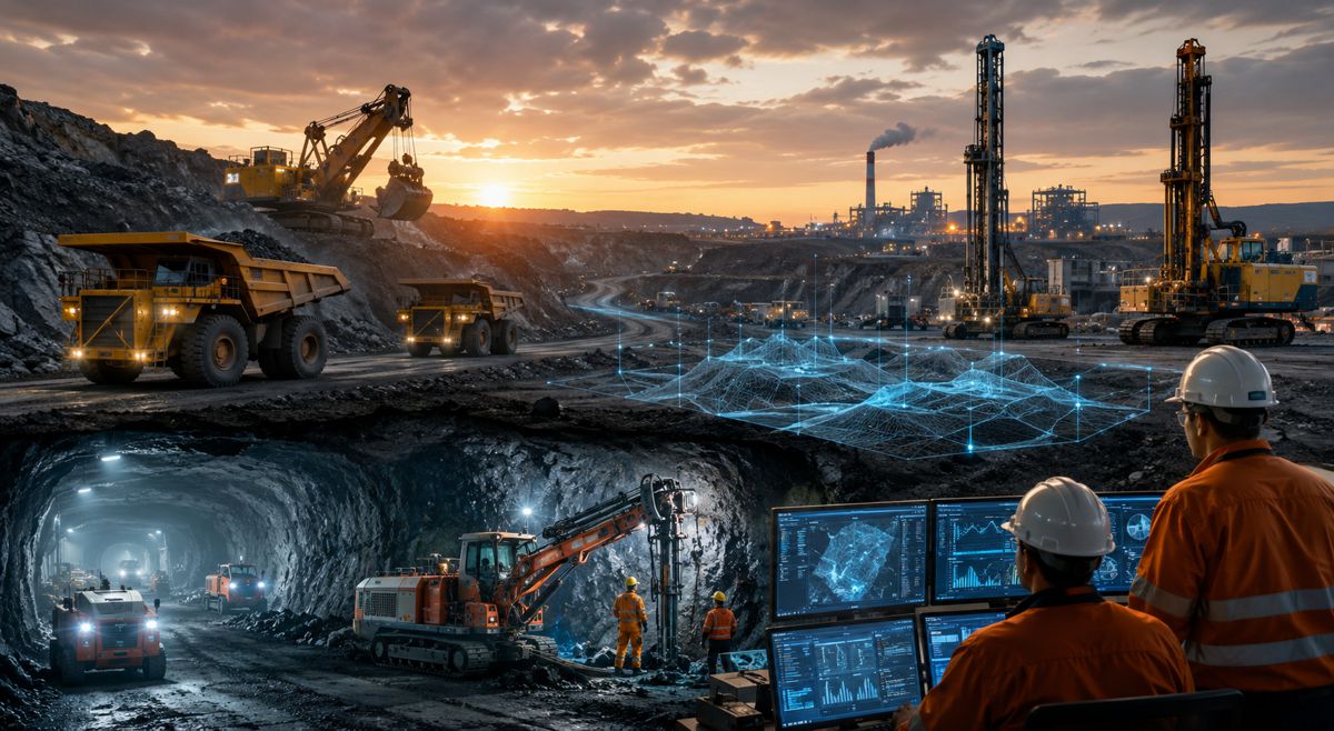
One of the defining characteristics of Geo Connect Asia is its ability to bring together stakeholders from diverse sectors. From mining and utilities to construction and maritime operations, the event highlights the shared challenges and opportunities facing infrastructure industries.
Sessions such as Geo Smart Mining and the Indoor Mapping Forum demonstrate how geospatial technologies are being applied across different contexts. In mining, for example, accurate mapping and real-time data are essential for improving safety and productivity. In indoor environments, mapping technologies are enabling more efficient navigation and asset management within complex facilities.
The presence of companies such as Grab and Autel Robotics reflects the cross-industry nature of the event. These organisations bring perspectives from mobility, robotics, and data analytics, contributing to a more holistic understanding of how technology can be applied to infrastructure challenges.
From Technology Showcase to Real-World Impact
Events like Geo Connect Asia often serve as a barometer for industry trends, but their true value lies in their ability to drive real-world implementation. The technologies on display are not merely theoretical; they are being deployed across infrastructure projects, delivering tangible benefits in terms of efficiency, safety, and sustainability.
The emphasis on practical applications is evident throughout the programme, with sessions focused on case studies, deployment strategies, and lessons learned. This approach reflects a broader shift within the industry, as organisations move from pilot projects to full-scale adoption of digital technologies.
For investors and policymakers, the event provides valuable insights into where the sector is heading and which technologies are likely to deliver the greatest impact. As infrastructure systems become more complex and interconnected, the ability to harness geospatial data and digital tools will be critical to maintaining resilience and competitiveness.
Shaping the Future of Infrastructure Through Data
The convergence of geospatial intelligence, AI, and digital construction is reshaping the infrastructure landscape. Events such as Geo Connect Asia highlight how these technologies are moving from niche applications to mainstream adoption, influencing every stage of the asset lifecycle.
As the industry continues to evolve, collaboration between technology providers, governments, and infrastructure operators will be essential. The challenges facing the sector, from climate change to urbanisation, require integrated solutions that can adapt to rapidly changing conditions.
Geo Connect Asia 2026 demonstrates that the tools to address these challenges are already emerging. The task now is to scale their deployment, ensure interoperability, and build the institutional frameworks needed to support their long-term use. For an industry often characterised by fragmentation, the event offers a glimpse of a more connected and data-driven future.