






SAM Acquires SSP Innovations and 3-GIS to Expand Utility Network Services
Geospatial services provider SAM has acquired SSP Innovations and 3-GIS, bringing utility GIS implementation expertise and enterprise network-management software into a business traditionally associated with surveying, LiDAR and infrastructure inspection. The transaction extends the Austin, Texas-based company’s activities into the systems that infrastructure owners use to manage their assets long after construction and commissioning.
Announced on 5 November 2026, the acquisition combines businesses operating at different points in the infrastructure lifecycle. SAM provides physical surveying, mapping and inspection services, SSP Innovations specialises in geographic information systems for utilities, while 3-GIS develops enterprise software for telecommunications, electricity and gas networks.
The deal follows New Mountain Capital’s majority investment in SAM in July 2026, which established a new ownership structure to support the company’s continued expansion.
Briefing
- SAM has acquired utility GIS specialist SSP Innovations and enterprise network software developer 3-GIS.
- SSP Innovations reports completing more than 100 major utility transformation projects across North America.
- 3-GIS supplies cloud-native network-management software for telecommunications, electricity and gas infrastructure.
- The transaction follows New Mountain Capital’s majority investment in SAM in July 2026.
- The combined business brings together surveying, LiDAR, inspection, GIS implementation and operational network-management capabilities.
Connecting Physical Infrastructure with Digital Networks
Surveying establishes where infrastructure exists, while GIS and asset-management systems provide the information needed to operate and maintain it. Linking those activities can be particularly demanding for electricity, gas and telecommunications networks, where physical assets form complex interconnected systems extending well beyond their geographical positions.
A surveyed cable route, for example, establishes the location of an underground installation. The operational network model must also identify how that cable connects to substations, switches, distribution equipment or individual customers. Network operators depend on both sets of information when planning maintenance, investigating outages and assessing proposed modifications.
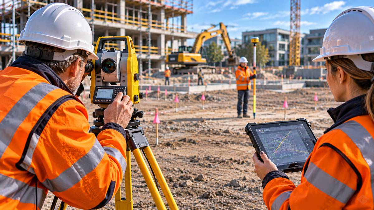
SAM’s existing capabilities cover land and aerial surveying, LiDAR, subsurface utility engineering and asset inspection. SSP Innovations adds expertise in converting and integrating this information into the enterprise systems used by infrastructure owners.
Surveying and engineering assignments are frequently tied to individual projects, whereas GIS maintenance, software support and network-data management can continue throughout an asset’s operational life. The acquisition gives SAM a broader range of services to offer existing customers, although the financial contribution of the acquired businesses has not been disclosed.
Utility GIS Modernisation
SSP Innovations brings experience in utility technology programmes, including more than 100 major transformation projects across North America. Its work includes GIS deployment, migration to Esri’s Utility Network model and integration with operational systems.
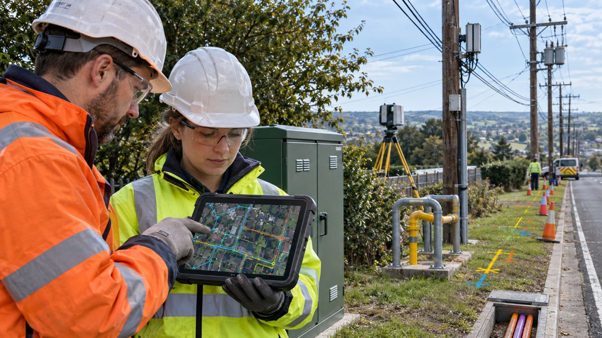
The distinction between conventional digital mapping and a modern utility network model is substantial. A GIS may contain accurate representations of thousands of poles, cables, pipes, valves and associated structures, but the data must also describe their connections and operational relationships if it is to support network analysis.
Esri’s ArcGIS Utility Network provides a framework for modelling those relationships, allowing operators to examine connectivity, trace networks and manage geographically distributed assets. Migration from older systems can require significant changes to data structures, asset classification, network topology and the procedures used to maintain information. Existing records must be converted and validated, with errors corrected before the new model can reliably support operational analysis.
SSP’s experience extends beyond GIS into enterprise asset management (EAM), work management systems (WMS) and advanced distribution management systems (ADMS). These integrations connect geographical asset records with maintenance planning, work scheduling and electricity network operations, reducing the need to maintain the same information across separate systems.
For SAM, the combination creates opportunities to carry information collected in the field through into the operational platforms used by infrastructure owners. Maintaining accurate records as assets are installed, modified and replaced remains one of the more demanding aspects of that work.
Enterprise Software for Telecommunications and Utilities
The addition of 3-GIS introduces a software product business alongside SAM’s professional services operations. Its cloud-native platforms support network planning, design, inventory management and operations across telecommunications, electricity and gas infrastructure.
Telecommunications provides a particularly demanding environment for network-data management. Fibre infrastructure includes ducts, cables, splices, distribution points and customer connections, with each component forming part of a larger network. Accurate records are essential during construction and remain so when services are activated, faults investigated or capacity expanded.
3-GIS connects these activities through a shared network-data environment, allowing design, construction and operational teams to work from consistent asset information. Its software also supports configuration through the 3-GIS Expansion Kit, which includes AI-enabled tools for developing functionality tailored to individual operators. The acquisition announcement provides no independently verified productivity figures for those AI capabilities.
The transaction follows a 2025 restructuring that separated SSP Innovations’ consulting and implementation activities from the software development operations of 3-GIS. SSP concentrated on professional services and data integration, while product management, engineering and software support moved to 3-GIS.
That distinction may remain useful within the enlarged SAM business. Utilities often operate technology from multiple vendors and require systems integrators capable of working across those products, regardless of their commercial relationships with individual software developers.
SAM’s Acquisition Strategy
In July 2026, investment firm New Mountain Capital acquired a majority interest in SAM, replacing Peak Rock Capital as the company’s majority investor. The investment was intended to support further expansion of its geospatial, engineering and inspection services.
The purchase of SSP Innovations and 3-GIS introduces a different operational mix. Surveying and consulting businesses depend heavily on specialist personnel and project delivery, while enterprise software requires continuing investment in product development, licensing, technical support and customer relationships.
Combining those activities may allow SAM to participate in larger utility modernisation programmes, from initial asset surveys through GIS implementation and operational network management. It also creates organisational challenges around software development priorities, systems integration and the expectations of customers purchasing continuing software services rather than individual engineering assignments.
SAM President and CEO Chris Solomon said the acquired companies brought established technology capabilities and customer relationships that aligned with the group’s growth plans: “Together, these capabilities strengthen our ability to serve critical infrastructure markets, deliver greater value to our clients, and create new opportunities for continued growth and innovation.”
Patrick Vardeman, CEO of SSP Innovations and 3-GIS, described the combination as an opportunity to build on their existing work and continue advancing their products and services.
The companies have not disclosed the purchase price, financing arrangements, revenue of the acquired operations or expected integration costs. The transaction’s immediate financial contribution therefore remains unclear.
From Infrastructure Construction to Asset Operations
SAM’s expanded capabilities are particularly relevant to electricity, gas and telecommunications operators, which must maintain extensive digital asset records while undertaking continual construction, maintenance and replacement programmes. These networks change constantly, making the accuracy and continuity of information an ongoing operational requirement.
Similar problems exist in transportation infrastructure. Highway authorities, rail operators and other asset owners increasingly depend on reliable records connecting surveys, construction documentation, inspections and maintenance activities. Although SSP Innovations and 3-GIS are principally focused on utility and telecommunications networks, their experience reflects many of the same information-management challenges encountered across major infrastructure assets.
An accurate digital record created during construction has limited long-term value if it cannot be maintained or integrated with the systems used by operational teams. Information gathered during surveying must survive design revisions, construction changes, commissioning and subsequent maintenance without losing its relationship to the physical network.
SAM now has a wider range of capabilities to address that process, combining field data acquisition with GIS implementation and enterprise software. Bringing those activities together will require more than integrating service offerings. The company must also preserve the specialist consulting expertise, software development capabilities and established customer relationships that SSP Innovations and 3-GIS bring to the business.
Key Industry Questions
- What companies has SAM acquired? SAM has acquired SSP Innovations, a utility GIS consulting and implementation specialist, and 3-GIS, a developer of enterprise network-management software for telecommunications, electricity and gas infrastructure.
- What does SSP Innovations contribute to SAM? SSP provides GIS consulting, Esri Utility Network migration expertise, data management and integration services connecting GIS with utility operational systems.
- What is the purpose of 3-GIS software? 3-GIS provides digital platforms for planning, designing, documenting and managing complex utility and telecommunications networks throughout their operational lives.
- How does Esri Utility Network differ from conventional GIS mapping? It models both geographical assets and their operational connectivity, enabling network tracing, validation and analysis of connected infrastructure.
- Why is accurate network connectivity information necessary? Network operators use connectivity records to understand how assets interact, investigate faults, plan changes and assess the operational consequences of maintenance or construction activities.
- Does the acquisition include artificial intelligence capabilities? Yes. 3-GIS offers AI-enabled development tools through its Expansion Kit, although the announcement provides no independently verified performance benchmarks.
- How does the transaction affect SAM’s existing surveying operations? It expands the range of downstream services potentially available to surveying and inspection customers, including enterprise GIS implementation, systems integration and network-data management.
- Were the financial terms disclosed? No. The companies have not published the acquisition price or financial performance of the acquired businesses in the announcement.
Strategic Takeaways
- Broader operational involvement: Enterprise GIS and software capabilities extend SAM’s potential role beyond individual surveying and construction assignments.
- Continuity of asset information: Connecting survey data with operational network models could reduce fragmentation between construction records and ongoing infrastructure management.
- Specialist integration expertise: SSP’s experience with Esri Utility Network and operational technology strengthens SAM’s ability to undertake complex utility modernisation programmes.
- Different commercial requirements: Enterprise software introduces continuing product development, technical support and customer-service obligations alongside project-based professional services.
- Integration will determine performance: Maintaining software quality, consulting independence and established customer relationships will be central to realising the acquisition’s commercial potential.