


Esri (Environmental Systems Research Institute) is a leading global provider of geographic information system (GIS) software, location intelligence, and mapping solutions. Founded in 1969 by Jack and Laura Dangermond in Redlands, California, Esri pioneered the development of GIS technology to help organizations visualize and analyze spatial data.
Their flagship product, ArcGIS, is widely used across various industries—including government, environmental management, public health, and infrastructure—for tasks such as urban planning, disaster response, and climate change analysis.
Esri’s commitment to innovation and sustainability has made it a trusted partner for over 350,000 organizations worldwide, including 90% of Fortune 100 companies and numerous national governments. By enabling users to harness the power of location-based data, Esri plays a crucial role in addressing complex global challenges and promoting informed decision-making.
Orbital Insight now integrates with Esri ArcGIS Platform

Innovation incubator Digital G and Esri China join forces on GIS AEC solutions

Esri and National League of Cities aim to reduce digital divide with Broadband pilot

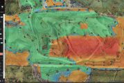
Esri mapping Solar Energy Hot Spots in partnership with The Ray

Esri brings Spatial Context to AEC Operations with release of ArcGIS GeoBIM

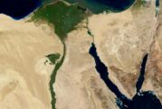
Esri delivers data-driven governance for Upper Egypt Local Development Program
Esri and National Geographic launch Storytelling Challenge to inspire Ocean Conservation

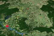
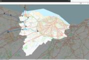
Esri helps Matanuska manage 10,000 square mile broadband network in Alaska

Esri’s new book teaches Geographic Concepts through a South American Adventure

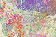
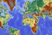
Esri releases new predictive Global Land Cover Map for 2050

Esri Federal Geospatial Data now available to anyone online
Esri ArcGIS Field Maps on iPhone and iPad improve mobile worker efficiency

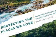
Esri’s new book is a Call to Action for Conservation
Red Bull X-Alps Competition Live Tracking App uses Esri ArcGIS Platform

Esri releases new Global Land Cover Map
Esri ArcGIS Platform chosen by Relive Outdoor Activity SaaS App

Chamber of Geophysical Engineers of Turkey signs GIS training agreement with ESRI

Esri partnering with International Community on GIS for Sustainable Development Goals

Esri and IBM tackle Climate Change with Call for Code Global Challenge

Symology, the highways asset management specialist wins Esri global partner award
Esri’s new book introduces Water and Power Utilities to GIS Spatial Analytics

US Drone Pilots get new capabilities with Esri Site Scan for ArcGIS

Esri fleet tracking partner Track Star integrates ArcGIS Platform
Esri joins the Digital Twin Consortium

Esri launches ArcGIS Field Maps mobile app
Esri UK partners with Heliguy for end-to-end drone solution for AEC industry

Esri Site Scan for ArcGIS enables drone operators to meet regulations in the US and Europe

AfroChampions and Esri join forces to encourage GIS across Africa

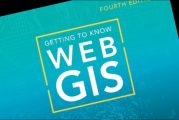
Esri publishes book about Web GIS featuring the latest advances in ArcGIS
Esri releases Guidebook for Advanced Python Scripting in ArcGIS Pro

Esri acquires nFrames to enhance 3D Surface Imaging Technology

Esri and UN launch storytelling competition to spread awareness of sustainable development

Esri and Facebook collaborate on the release of OpenStreetMap Datasets

Esri announces GIS awards for innovation and global contribution

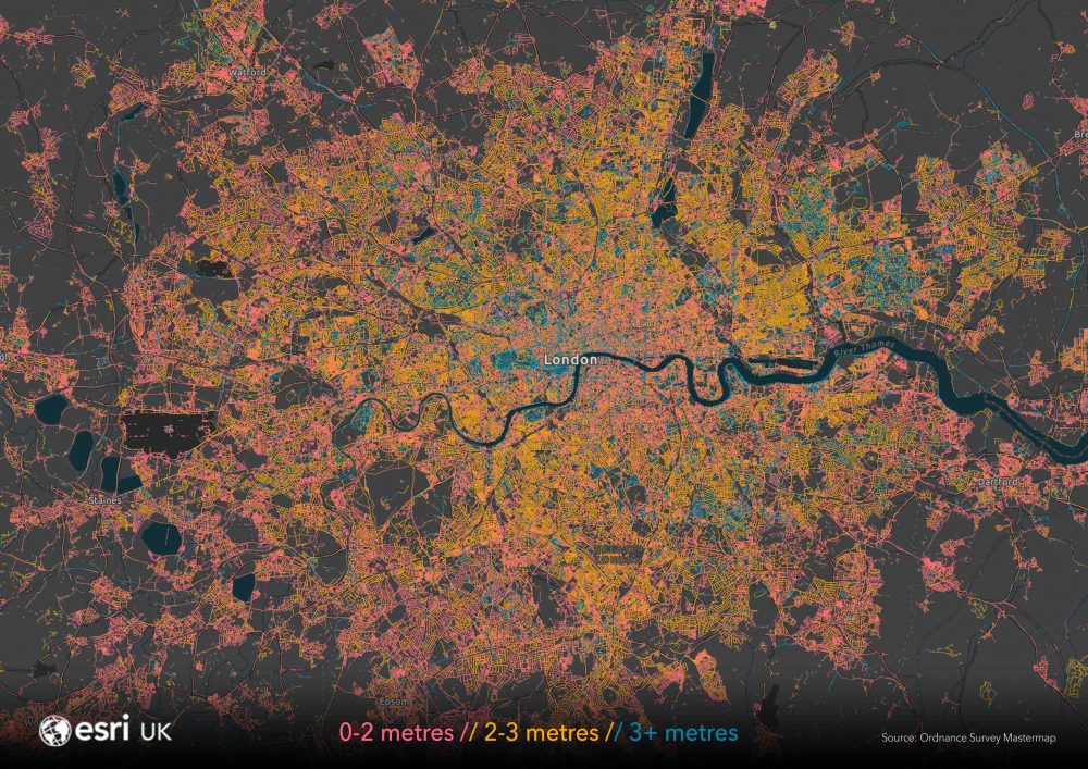
Esri UK’s map of pavement widths helps local authorities with social distancing plans
Esri offering Free Mapping Software to Women in GIS
