Esri delivers data-driven governance for Upper Egypt Local Development Program
When the United Nations adopted the Sustainable Development Goals (SDGs) as a global call to action to achieve a more sustainable future for all by 2030, many countries committed to the cause.
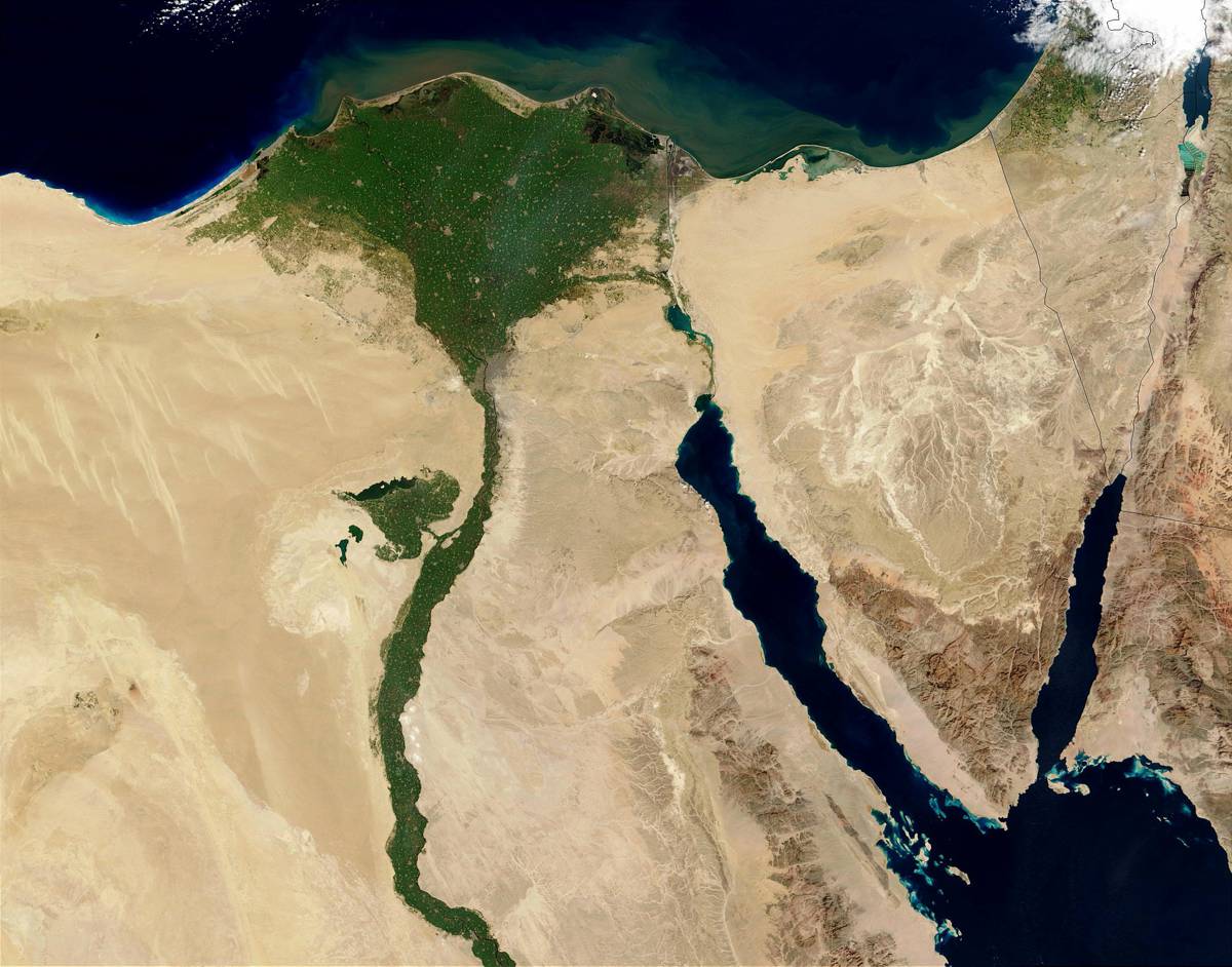
Egypt, which launched its strategy in 2016, met the obstacle of geographic disparities due to the need for development in the upper region of the nation. To address this challenge, the Egyptian Ministry of Local Development and the World Bank launched the Upper Egypt Local Development Program (UELDP) a year later.
One vital step toward improving development in Upper Egypt—and part of UELDP—includes establishing a GIS infrastructure in the region. To achieve this, UELDP chose location intelligence world leader Esri to provide the region’s new GIS unit with all the required hardware, software, data, and applications necessary for managing complex geospatial data.
“This is a strategically important project, which will play a vital role in driving sustainable, impactful urban planning and development to support communities in Upper Egypt,” said Dr. Mohamed Misbah, director for the Middle East and Africa region at Khatib & Alami (K&A), an Esri Platinum partner.
The project will leverage a unified geodatabase and a map viewer to explore geostatistical information and generate reports, graphics, and thematic maps. It will also employ mobile applications for data collection that allow government staff to access data from the field. These services, in addition to operational dashboards, will provide a holistic view for policy makers.
Laying the foundation for asset management systems at the governorate (jurisdictional) level, Esri’s ArcGIS software helps integrate them with databases in relevant ministries and central government agencies. This enables these organizations to comprehensively display vast amounts of statistical and spatial information to support long-term planning and execution in line with UELDP’s vision and future goals.
Further strengthening the governorates’ capacities, GIS will enable local development data to be georeferenced to support decision-making. The implementation of this system was awarded to Esri partners ProSyLab and K&A.
“ProSyLab, as an Esri partner, adds to its achievements [by] participating in this national project,” said Mahmoud Moursi, ProSyLab chairman. “The project aims to help the public sector, represented by the UELDP, in establishing a GIS infrastructure, which promotes the concept of data sharing, facilitating the decision-making process, and building capacity.”
UELDP aims to localize sustainable development, create new job opportunities, improve the economy, and strengthen government capacity for quality infrastructure and service delivery in select governorates in Upper Egypt. It was piloted in the Qena and Sohag Governorates to address existing development gaps and has met with success, leading to national policy reforms, and even inspiring a scaled-up version of the program for Egypt’s 2019 Decent Life initiative.