Esri and National Geographic launch Storytelling Challenge to inspire Ocean Conservation
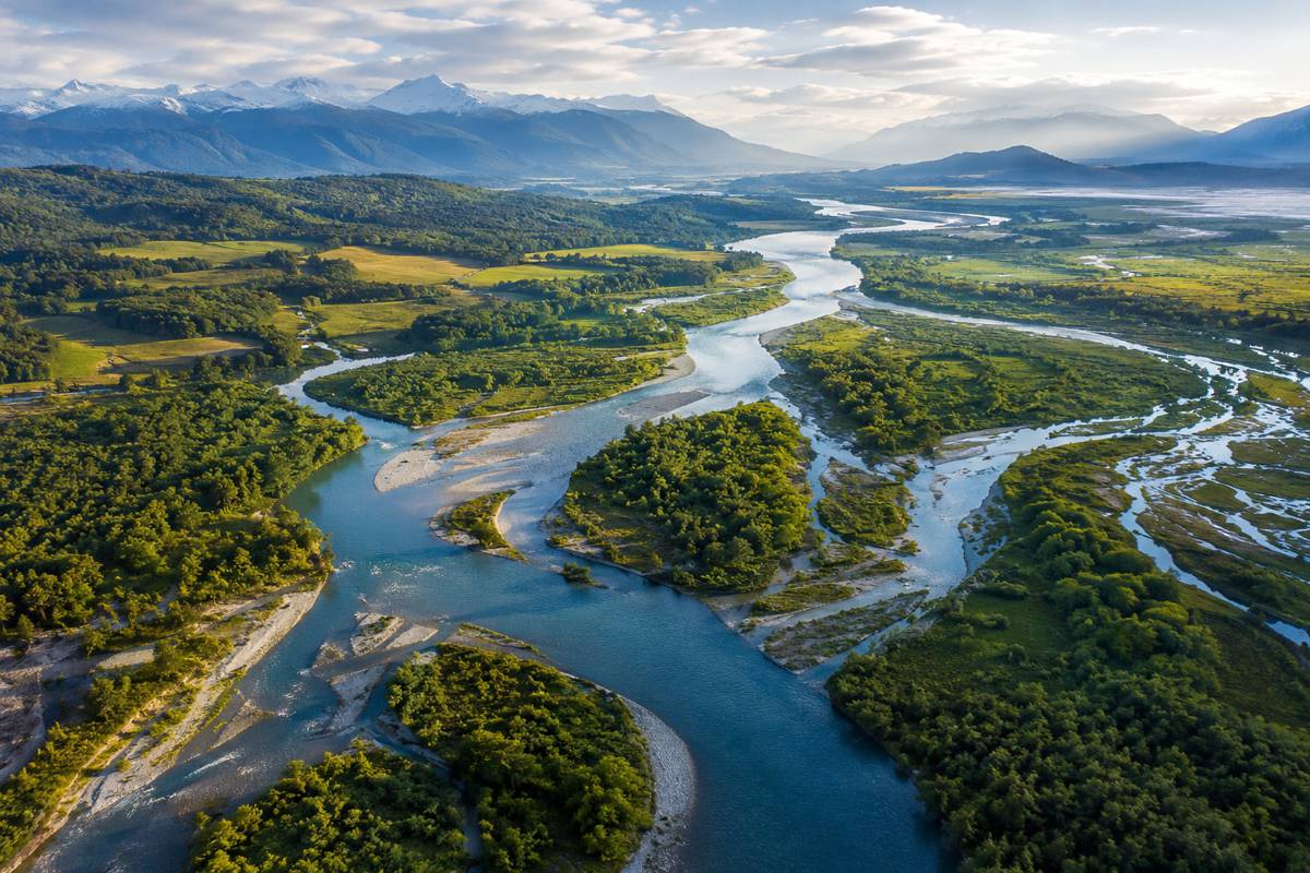
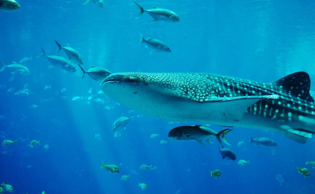
Covering 70 percent of the planet’s surface, the ocean drives weather, provides sustenance, regulates temperature, and supports living organisms as well as societal growth. And while the ocean is the lifeblood of the planet, National Oceanic and Atmospheric Administration (NOAA) scientists report that more than 80 percent of the ocean is still unexplored.
“Much of the ocean floor remains uncharted, yet data-driven maps compel people to see why the ocean needs saving, where to start, and what needs to be done,” said Dawn Wright, chief scientist of Esri.
To help address this issue, Esri, the global leader in location intelligence, in partnership with the National Geographic Society, has launched the 2021 ArcGIS StoryMaps Challenge for Restoring Our Ocean. The challenge aims to bring new ideas and voices to global ocean conservation efforts while also training more mappers in geospatial technology that can impact change. “The future is in the hands of the next generation, so it is important to engage youth globally in creating data-driven solutions for our ocean and our world,” continued Wright.
The challenge encourages high school students, college students, and anyone aged 18–24 years to create impactful stories about ocean health—including current threats to the ocean, and existing and potential solutions for its restoration—using Esri technology. Additionally, it will invite these individuals to join the growing #GenGeo movement—a global community of young people with an insatiable drive to seek solutions that build a sustainable future and thriving planet.
“A story is a powerful tool for effecting change, influencing opinion, and creating awareness,” said Wright. “This challenge empowers professionals and students to demonstrate the ocean’s true depth and complexity, which is what we need to understand if we hope to save it.”
Esri’s ArcGIS StoryMaps enables users to integrate maps, data, and other multimedia content with text to tell stories about the world’s greatest challenges and highlight or inspire solutions. Challenge participants are encouraged to create an original story from a range of topics such as highlighting change makers in ocean conservation; amplifying the seven ocean literacy principles; or addressing United Nations Sustainable Development Goals to conserve and sustainably use the ocean, seas, and marine resources. Students can leverage data, maps, and other resources from Learn ArcGIS, Esri’s online training resource, to build their stories.
The challenge invitation is extended globally. Stories are submitted through two tracks: track 1 is for precollegiate students aged 14–18 years; and track 2 is for students aged 18 years and older enrolled in higher education institutions, or eligible persons 18–24 years old. The submission deadline is October 22, 2021.
Judges will select first-, second-, and third-place winners from among each track’s finalists and announce them in December 2021. The five judges include the following:
- Dawn Wright, Esri Chief Scientist
- Alex Tait, Geographer at the National Geographic Society
- Sandra Turner, National Geographic Certified Educator and Global Climate Change Education Leader
- Charlie Fitzpatrick, K–12 Education Manager at Esri
- Shelby O’Neil, National Geographic Young Explorer and Founder of the Jr Ocean Guardians
For more information and to submit a story, visit the ArcGIS StoryMaps Challenge for Restoring Our Ocean website.