Open High-Res Hydrography Reaches the Americas with HydroSHEDS v2
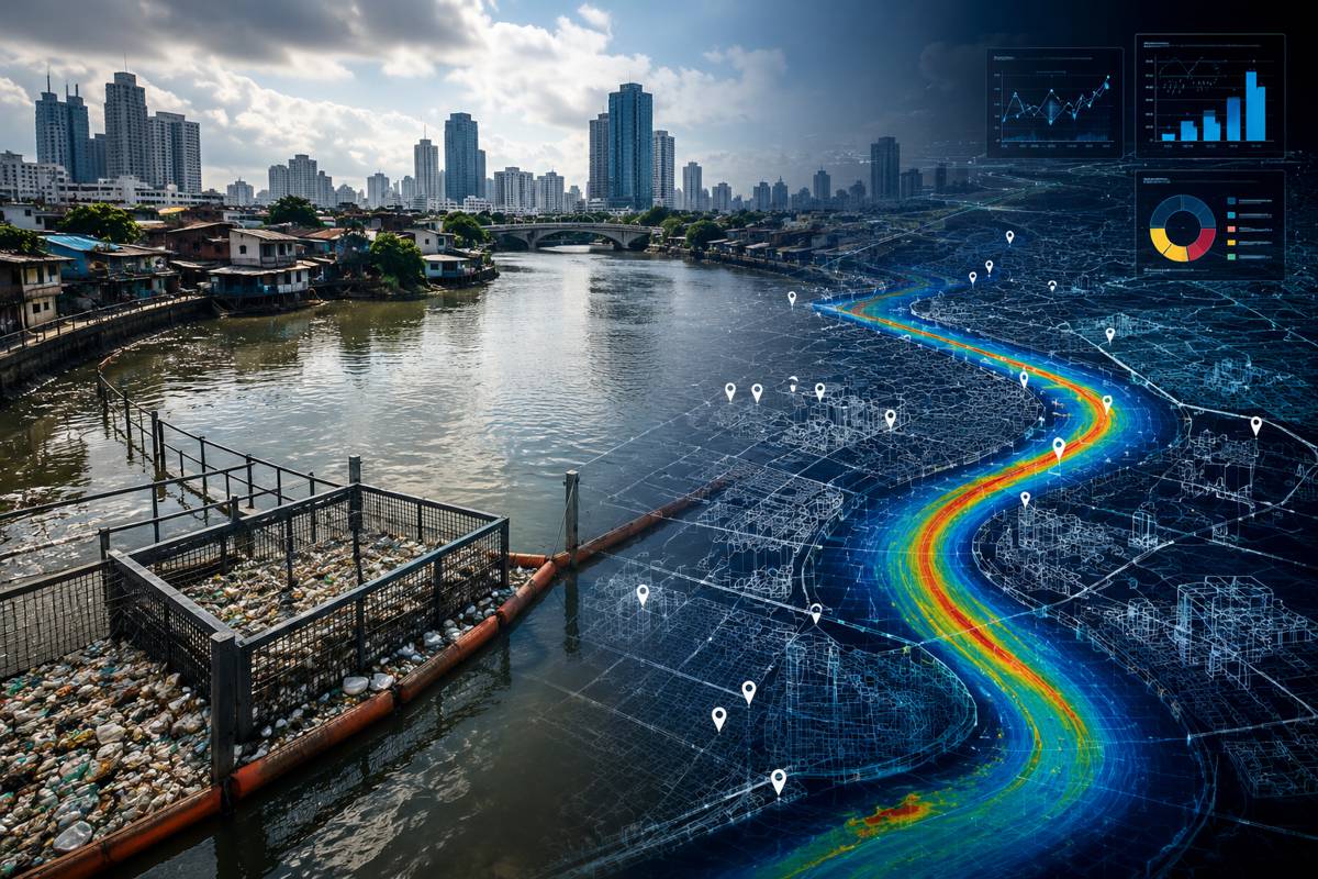
For anyone who plans roads, bridges, pipelines, drainage systems or flood defences, the quality of the underlying water map has always set the ceiling on what the analysis can deliver. Rivers, catchment boundaries and the direction water moves across a landscape are the base layer beneath a great deal of infrastructure decision-making, and until recently the most widely used global version of that layer was more than fifteen years old and coarse enough to miss smaller channels entirely.
The public release of HydroSHEDS v2 for North, Central and South America begins to close that gap. Distributed free through Esri’s ArcGIS Living Atlas, the new datasets rebuild the drainage networks and watershed boundaries of an entire hemisphere on far sharper elevation data, and they arrive at a moment when climate adaptation, flood resilience and water security are moving up the agenda for governments, lenders and asset owners alike.
The significance lies less in the novelty of the idea than in the combination of resolution, consistency and accessibility. HydroSHEDS has been a workhorse of hydrological science and environmental planning since 2008, but its first generation carried the limitations of the data available at the time. Version 2 draws on the German Aerospace Center’s TanDEM-X elevation model, processed through Esri’s Arc Hydro workflows, to produce drainage networks that are denser and more accurate, with hydrologic connectivity captured more faithfully. For engineers and planners across the Americas, that translates into a common, openly available reference for how water behaves at basin and sub-basin scale, without the licensing costs or patchwork inconsistencies that often complicate cross-border work.
Briefing
- HydroSHEDS v2 has been made publicly available for the first time, covering North, Central and South America through Esri’s ArcGIS Living Atlas as the opening stage of a phased global rollout.
- The framework is built on the German Aerospace Center’s TanDEM-X elevation model, whose 12-metre native resolution marks a substantial step up from the roughly 90-metre SRTM data that underpinned version 1.
- Drainage networks, watershed boundaries and hydrologic connectivity are derived using Esri’s Arc Hydro processing workflows, producing river networks that are denser and more globally consistent.
- Supported applications include flood risk assessment, climate resilience studies, water resource management, systematic conservation planning, infrastructure planning and environmental decision-making.
- Development of the foundational dataset was led by Confluvio Consulting with the German Aerospace Center and Esri, from a collaboration originally initiated by World Wildlife Fund and McGill University.
A Step Change in Resolution and Coverage
The technical heart of the update is the elevation data. Version 1 of HydroSHEDS was derived primarily from NASA’s Shuttle Radar Topography Mission, which mapped the Earth at a resolution of around 90 metres and left a significant blind spot above 60 degrees northern latitude where no usable radar data existed. Those constraints were reasonable for their era, yet they meant that smaller watercourses could be missed and that Arctic and sub-Arctic drainage had to be patched from coarser sources.
HydroSHEDS v2 instead draws on TanDEM-X, the twin-satellite radar mission operated by the German Aerospace Center, which surveyed the entire global land surface between 2010 and 2015 and produced a homogeneous elevation model at 12-metre resolution with vertical accuracy generally better than two metres. That underlying jump in fidelity is what allows the new hydrographic products to resolve finer channels and to extend consistent coverage into the northern latitudes that version 1 could not properly represent.
From that elevation base, the drainage networks and catchment boundaries are generated at a considerably finer scale than before, with the core hydrographic products produced at roughly 30 metres against the earlier 90-metre baseline. The German Aerospace Center pre-conditions the raw TanDEM-X data, applying corrections that use high-resolution vegetation and settlement maps to reduce the distortions that tree canopy and built-up areas introduce into radar elevation readings.
Refined hydrological optimisation then derives the flow pathways, including improved stream-burning methods that fold in modern open-water masks and river and lake centrelines. The practical effect is a river network with higher density and better-defined connectivity, which matters because the accuracy of any downstream flood or drainage model depends heavily on how faithfully the base network reflects where water actually goes.
Why Sharper Hydrography Matters for Infrastructure Delivery
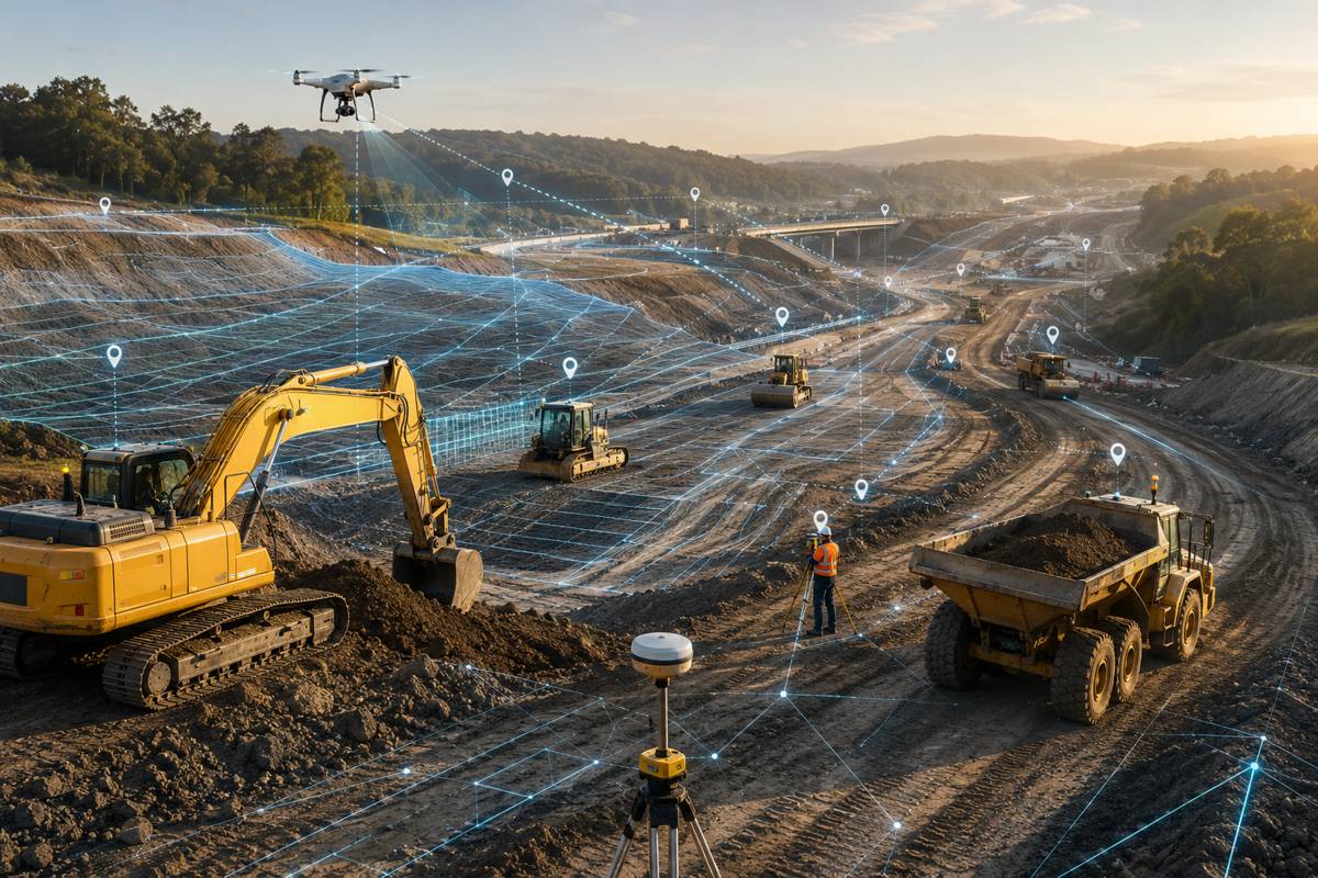
Hydrographic base data feeds directly into some of the most consequential judgements made during infrastructure delivery. Flood risk assessment, culvert and drainage design, the siting of bridges and river crossings, and the routing of linear assets such as roads, rail and utilities all rest on a clear understanding of catchment boundaries, flow accumulation and connectivity.
When the underlying network is coarse, small tributaries and the contributing areas that funnel water towards a proposed asset can be understated, which in turn skews the hydraulic modelling that determines how structures are dimensioned. A denser and more accurate network narrows that margin of error at the earliest and cheapest stage of a project, before detailed local survey and design work begins, and helps teams identify where finer ground-truthing is genuinely warranted.
The timing is also significant for climate resilience and water security, both of which are drawing rising volumes of public and private capital. Development banks, insurers and infrastructure funds increasingly require credible flood and water-stress analysis before committing to projects, and consistent hydrographic data across large regions makes it easier to compare exposure and to screen portfolios of assets.
Transboundary river basins, which are common across the Americas, are a particular beneficiary, because a single seamless dataset avoids the mismatches that arise when neighbouring jurisdictions rely on different national mapping. For water resource managers, the same data supports allocation planning, reservoir and abstraction studies, and the modelling of how upstream change propagates through a catchment, all of which have direct commercial implications for the utilities and contractors that build and operate water infrastructure.
Open Access as an Industry Enabler
Availability is as important to the story as accuracy. By publishing HydroSHEDS v2 through ArcGIS Living Atlas, the largest curated repository of ready-to-use spatial content built into the Esri platform, the partners have placed the data directly inside the software environment that a great many engineering consultancies, government agencies and environmental organisations already use.
That reduces the friction of acquiring, formatting and integrating hydrographic layers, and it lets analysts move more quickly from raw data to decision-ready mapping. The datasets are being made openly available, which lowers a cost barrier that has often fallen hardest on smaller consultancies, academic groups and public bodies in lower-income regions, precisely the users for whom high-quality flood and water data can carry the greatest social value.
The choice of Arc Hydro as the processing framework reinforces that integration. Arc Hydro is Esri’s established data model and toolset for water resources, designed to structure hydrographic information in a way that supports watershed delineation and downstream modelling. Building HydroSHEDS v2 on those workflows means the outputs slot naturally into existing water-resources practice rather than sitting apart as a standalone research product.
Sean Breyer, director for ArcGIS Living Atlas, framed the release as “a major milestone in hydrographic data development and international collaboration,” adding that by combining “high-resolution elevation data, Arc Hydro processing capabilities, and the accessibility of ArcGIS Living Atlas, we are helping researchers, governments, NGOs [nongovernmental organizations], and organizations better understand and manage water resources across the Americas and eventually around the world.” For an industry audience, the operative point is that a scientifically rigorous global dataset is being delivered through channels that professional teams can adopt without re-engineering their toolchains.
A Long-Running Scientific Collaboration
The provenance of the data lends it credibility that is worth weighing. Development of the foundational dataset was led by Confluvio Consulting in partnership with the German Aerospace Center and Esri, drawing on a collaboration originally initiated by World Wildlife Fund and McGill University. That lineage is not incidental. HydroSHEDS was first developed under a World Wildlife Fund programme in the mid-2000s, and Bernhard Lehner, now an associate professor at McGill University and a Confluvio cofounder, was the lead author of the 2008 work that introduced the framework to the scientific community.
The same intellectual thread therefore runs from the original release through to version 2, which helps explain why the new products follow the same basic specifications and remain compatible with the wider HydroSHEDS family of layers that many organisations have already built into their workflows.
Lehner described the release as providing “an important new foundation for hydrologic science, conservation planning, and water resource management,” and argued that making the datasets openly available through ArcGIS Living Atlas would “accelerate innovation and support better decision-making for freshwater systems worldwide.”
The international spread of the contributors, a German elevation mission, Canadian scientific and consulting expertise, an American conservation body and a global software provider, reflects how large-scale environmental data increasingly depends on pooling capabilities that no single institution holds. For policymakers and infrastructure owners, that collaborative model matters because it points to continuity and stewardship rather than a one-off dataset that risks going stale.
The Road to Global Coverage
The Americas release is explicitly the first stage of a phased global rollout, with further regional datasets planned as the programme progresses. That sequencing gives infrastructure and environmental teams outside the Americas a clear signal to prepare for a common, high-resolution hydrographic baseline reaching their regions in due course, and it invites procurement and technology planning that anticipates the shift rather than reacting to it.
Over time, a globally consistent framework at this resolution could underpin cross-border flood modelling, regional climate adaptation strategies and the kind of portfolio-level water risk screening that lenders and insurers are moving towards, with the added benefit that everyone is working from the same reference rather than reconciling incompatible national datasets.
A measure of realism is warranted alongside the opportunity. The developers themselves are clear that a global product, however sharp, does not match the accuracy of local, high-resolution river and catchment mapping, and it is best understood as a powerful screening and planning layer rather than a substitute for site-specific survey and hydraulic design.
Sources also differ on the precise production resolution of the new hydrographic layers, which underlines the value of consulting the technical documentation and licence terms before committing the data to a regulated design process. Used with that understanding, HydroSHEDS v2 gives the construction, infrastructure and investment community a materially better starting point for water-related decisions across the Americas, and a credible roadmap for the rest of the world.
Key Industry Questions
- How does HydroSHEDS v2 differ from the version most planners already know? The main difference is the elevation data beneath it. Version 1 relied largely on SRTM radar data at around 90 metres and had poor coverage above 60 degrees northern latitude. Version 2 is built on the German Aerospace Center’s TanDEM-X model, captured at 12 metres with strong vertical accuracy and full global land coverage. The result is denser river networks, more accurate watershed boundaries and better hydrologic connectivity. Importantly, version 2 keeps the same basic specifications as its predecessor, so it remains compatible with the wider HydroSHEDS family of layers that organisations may already use, easing the transition rather than forcing a wholesale change in workflow.
- What resolution does HydroSHEDS v2 offer, and why does that matter for design work? The underlying TanDEM-X elevation model has a native resolution of 12 metres, and the derived hydrographic products are generated at a considerably finer scale than version 1, with core layers produced at roughly 30 metres against the earlier 90-metre baseline. Some technical material references preliminary products at 90 metres, so users should confirm the exact figure in the documentation for their region. Finer resolution matters because it captures smaller channels and more precise contributing areas, which improves the flow accumulation and connectivity that downstream flood and drainage models depend on. That reduces the risk of understating water movement during early feasibility and screening work.
- Is HydroSHEDS v2 free to use, including for commercial infrastructure projects? The datasets are being made openly available through ArcGIS Living Atlas under a free licence, and the HydroSHEDS family has historically permitted both non-commercial and commercial use. That combination lowers a cost barrier that has often weighed most heavily on smaller consultancies and public bodies. Because licence terms can vary between products and releases, teams intending to embed the data in commercial deliverables or regulated design submissions should verify the specific terms attached to the layers they download. Doing so protects against later complications and clarifies any attribution or redistribution requirements before the data becomes part of a project record.
- How can construction and infrastructure teams actually use this data for flood risk? Hydrographic base data supports flood risk in several ways. It defines catchment boundaries and flow accumulation, which determine how much water a given point in the landscape receives, and it maps the connectivity that governs how flows move downstream. That information feeds early flood screening, drainage and culvert sizing, the siting of river crossings and the routing of linear assets. A denser, more accurate network sharpens these judgements at the feasibility stage, before costly local survey begins, and helps teams pinpoint where finer ground-truthing is genuinely required. It is a planning and screening layer, used to frame the questions that detailed hydraulic modelling then answers.
- Does HydroSHEDS v2 remove the need for local hydrological surveys? No. The developers are explicit that a global dataset, however high its resolution, does not achieve the accuracy of local, high-resolution river and catchment mapping. HydroSHEDS v2 is best treated as a consistent regional screening and planning foundation rather than a replacement for site-specific survey, ground-truthing and hydraulic design. Its strength is breadth and consistency across large areas, including transboundary basins where national datasets often fail to align. For any regulated design process or detailed engineering, it should sit alongside local survey data, providing the wider catchment context while the fine detail comes from targeted measurement on the ground.
- What is TanDEM-X, and why was it chosen as the foundation? TanDEM-X is a radar mission operated by the German Aerospace Center, using two near-identical satellites flying in close formation to measure surface elevation through interferometry. Between 2010 and 2015 it surveyed the entire global land surface, producing a homogeneous elevation model at 12-metre resolution with vertical accuracy generally better than two metres. It was chosen because it offers markedly higher fidelity than the older SRTM data and, crucially, covers northern latitudes that SRTM missed. That combination of accuracy, consistency and complete land coverage is what allows HydroSHEDS v2 to resolve finer drainage detail and to deliver a seamless product across regions that version 1 could not fully represent.
- When will coverage extend beyond the Americas? The Americas release is the first stage of a phased global rollout, with additional regional datasets planned as the programme advances. A precise schedule for each region has not been detailed, but the direction of travel is clear, and the underlying TanDEM-X elevation model already spans the entire global land surface, which means the raw material for worldwide coverage exists. For teams operating outside the Americas, the sensible response is to anticipate the shift in procurement and technology planning, so that a common high-resolution hydrographic baseline can be adopted smoothly when it reaches their regions rather than prompting a rushed change of approach.
- How does HydroSHEDS v2 fit into existing GIS and water-resources workflows? The data is distributed through ArcGIS Living Atlas, Esri’s built-in repository of ready-to-use spatial content, so it is accessible directly within a software environment many engineering and environmental teams already operate. It is processed using Arc Hydro, Esri’s established data model and toolset for water resources, which structures hydrographic information to support watershed delineation and downstream modelling. That means the outputs integrate naturally with existing water-resources practice rather than requiring a separate handling pipeline. For organisations standardised on the Esri platform, adoption should involve minimal re-engineering, while users of other GIS tools can still work with the layers through standard interchange formats.
Strategic Takeaways
- Open, high-resolution hydrographic data across an entire hemisphere lowers the cost and raises the quality of early-stage flood, drainage and siting analysis, shifting a meaningful part of infrastructure risk screening to a cheaper point in the project lifecycle.
- The jump from SRTM to TanDEM-X elevation data closes long-standing gaps, particularly in northern latitudes, and gives teams working across transboundary basins a single consistent reference in place of mismatched national datasets.
- Distribution through ArcGIS Living Atlas and processing via Arc Hydro mean the data enters existing professional workflows with little friction, which is likely to accelerate adoption among consultancies, agencies and utilities already standardised on the Esri platform.
- Rising lender, insurer and regulatory demand for credible flood and water-stress analysis makes a free, scientifically rigorous baseline strategically valuable for portfolio screening and project due diligence, not merely for one-off studies.
- The phased global rollout is a forward signal for procurement and technology planning worldwide, while the developers’ own caution that global data complements rather than replaces local survey should shape how the layers are used in regulated design.