C-MAP Charts a Course into Enovation Controls’ Connected Helm
Marine electronics are increasingly becoming part of a connected digital environment that follows the user beyond the helm. Enovation Controls is taking another step in that direction by integrating C-MAP’s X-generation marine cartography into its No Roads navigation platform, bringing charting to compatible onboard displays for model year 2027 products before extending it to the No Roads mobile application, currently targeted for spring 2027.
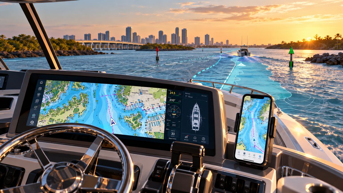
The arrangement brings charts, vessel information and other digital functions into an environment spanning the boat and the user’s mobile device. For manufacturers already using configurable electronic displays for instrumentation, diagnostics and vessel controls, navigation can become part of the same architecture rather than another largely separate system installed around the helm.
Briefing
- C-MAP X-generation marine cartography will be integrated into compatible Enovation Controls displays and the No Roads mobile application.
- Display integration is planned for model year 2027 products, with mobile integration targeted for spring 2027.
- The platform will cover North American inland and coastal waterways alongside global marine charts.
- Enovation Controls already supplies CAN-based displays, instrumentation, GPS and connected systems to recreational and commercial marine OEMs.
- The first live demonstration is scheduled for IBEX in Tampa, Florida, on 6-8 October 2026.
Bringing Navigation into the Vessel Interface
Enovation Controls already occupies an interesting position within marine electronics because its displays can sit much deeper within a vessel’s electronic architecture than a conventional navigation screen. Its marine systems include displays and gauges, GPS modules, power distribution and I/O equipment, infotainment and mobile connectivity, with CAN-based systems allowing engine, transmission, diagnostic and other vessel data to be presented through configurable interfaces. Adding cartography allows navigation to sit within that same environment rather than alongside it as an essentially separate function.
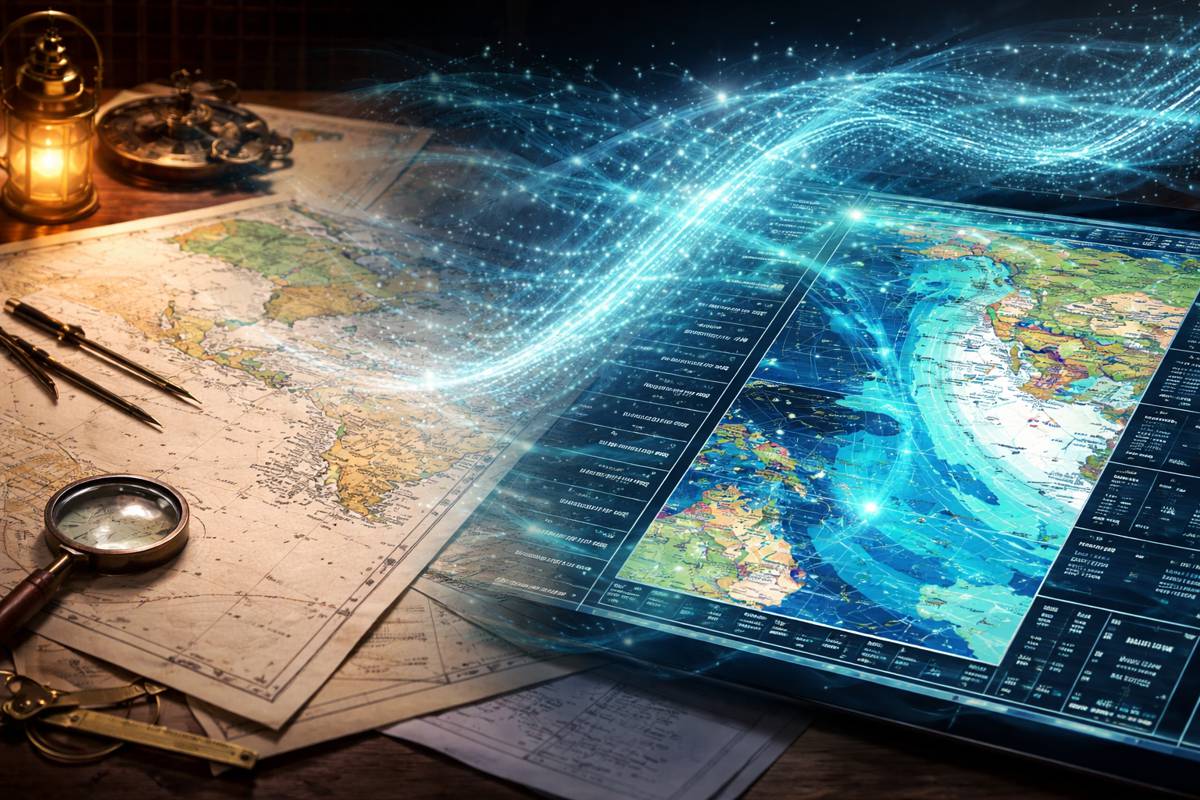
C-MAP’s X generation provides vector charting alongside high-resolution bathymetry, depth shading, tides and currents, marina and harbour information and autorouting. The platform also supports app integration, allowing routes, tracks and waypoints to move between compatible chartplotters and mobile devices. Integrating those capabilities with Enovation Controls’ hardware extends the concept into an OEM-oriented display platform in which navigation can share the interface with vessel information and other digital functions.
That connection also extends beyond the boat. The planned integration with the No Roads mobile application is intended to preserve the broader navigation environment as users move between the helm and their mobile device, reflecting the increasingly blurred boundary between onboard electronics and the applications used for planning and navigation away from the vessel.
“Marine has long been an important market for our Electronics segment, and this partnership is another step in expanding the connected experiences we can deliver to our customers,” said Billy Aldridge, President, Electronics for Helios. “By combining C-MAP®’s proven marine cartography with the No Roads™ navigation platform, Enovation Controls is able to bring a comprehensive embedded display plus mobile solution to global marine markets, giving original equipment manufacturers (OEMs) new ways to deliver a better experience on the water.”
The OEM Architecture
Enovation Controls has built its marine business around configurable electronic systems that can be tailored for individual OEMs. A boat builder can use the company’s displays for instrumentation, diagnostics and controls while developing an interface appropriate to its own vessel and brand. C-MAP adds an established cartographic layer to that architecture without requiring Enovation Controls or individual manufacturers to develop and maintain the underlying marine chart database themselves.
The result is potentially fewer visible boundaries between navigation and the rest of the vessel interface. Engine information, systems data, navigation and connected functions can increasingly occupy the same display environment rather than appearing as unrelated pieces of electronics installed around the helm. Modern vessels can contain multiple electronic networks, displays and control systems, and the helm has become valuable digital real estate. Consolidating functions does not eliminate the engineering involved behind the screen, but it can simplify what the operator sees and how information is accessed.
Enovation Controls’ existing marine portfolio illustrates how far that integration can extend. Its configurable displays support CAN-based vessel systems, while newer hardware extends into connected functions and remote diagnostics. Its forthcoming OpenView P100, for example, is a 10.1-inch rugged HMI built around the company’s OpenPV 5 Linux-based software environment. Within that kind of architecture, navigation becomes another software function available through a broader vessel interface rather than a self-contained electronic product.
C-MAP’s X-Generation Cartography
For C-MAP, the agreement puts its newer X-generation cartography into another hardware ecosystem. The company is part of Navico Group, a division of Brunswick Corporation, and its charts already operate across established marine electronics platforms. DISCOVER X and REVEAL X are designed around digital chart presentation and connected use, including integration between compatible multifunction displays and mobile applications.
DISCOVER X includes full-featured vector charts, high-resolution bathymetry, custom depth shading, tides and currents, detailed marina and harbour information and autorouting. C-MAP says its vector data is derived from official sources including national hydrographic offices, supplemented across its wider charting operation by other survey and mapping data. The company has also been moving away from representations of traditional paper charts, recently removing raster chart layers from parts of its portfolio as paper-chart availability from hydrographic offices declines and digital chartplotters become more widely used. Its X-generation products instead include an ENC cartography option providing a representation of official Electronic Navigational Chart data where available.
The Enovation Controls partnership therefore provides another route for that cartography into the marine electronics market, this time through configurable displays intended for integration by vessel manufacturers.
“This partnership represents an important milestone for C-MAP® as we continue expanding the reach of our X charting platform,” said Max Cecchini, Director of C-MAP, Electronic Solutions, Navico Group. “By bringing DISCOVER™ X to Enovation Controls customers, we’re introducing our latest charting technology to a new segment of boaters and helping more people navigate with confidence, whether they’re exploring new waterways, enjoying watersports, or spending weekends on the water.”
From Demonstration to 2027 Production
The distinction between a vessel display and a connected computing platform has been narrowing for years. Screens that once concentrated on engine speed, temperature, fuel level or navigation can now act as interfaces to electronic systems distributed around the vessel, while mobile devices allow route planning and other tasks to begin before anyone steps aboard. Information configured at the helm is similarly more useful when it does not remain trapped there.
The Enovation Controls and C-MAP arrangement is intended to carry that environment between onboard and mobile systems while supporting North American inland and coastal waterways alongside global marine charts. The precise capabilities available on individual boats will depend on the displays, vessel configuration and implementation chosen by manufacturers, and neither company has yet identified specific production models that will adopt the integration.
Enovation Controls plans to show C-MAP operating on its new display technology during the International BoatBuilders’ Exhibition & Conference in Tampa from 6-8 October 2026. From there, the timetable moves towards compatible model year 2027 products, followed by the planned No Roads mobile integration in spring 2027. For marine OEMs, the combination offers another way of making navigation part of the vessel’s native digital architecture, alongside the instrumentation, controls and connected systems already competing for space at the helm.
Key Industry Questions
- What is being integrated? C-MAP’s X-generation marine cartography is being incorporated into compatible Enovation Controls displays and the No Roads mobile application.
- When will the technology reach production vessels? Display integration is planned for model year 2027 products. Integration into the No Roads mobile application is targeted for spring 2027.
- Which C-MAP charting product is involved? The partnership specifically identifies DISCOVER X as the X-generation technology being introduced to Enovation Controls customers.
- Will the system operate outside North America? Yes. The planned offering combines extensive North American inland and coastal coverage with global marine charts.
- Why is the integration relevant to boat manufacturers? It allows navigation to be incorporated into an OEM-oriented display and connected-device environment that can also carry vessel information and other digital functions.
- Does Enovation Controls already operate in marine electronics? Yes. Its existing marine portfolio includes configurable displays, instrumentation, GPS modules, power distribution, vessel controls and mobile connectivity.
- Is C-MAP replacing conventional vessel instrumentation? No. The integration adds marine cartography to Enovation Controls’ wider electronic environment. The actual combination of navigation, instrumentation and vessel controls will depend on each OEM implementation.
- Where will the integrated system first be demonstrated? Enovation Controls plans to demonstrate C-MAP running on new display technology at IBEX in Tampa, Florida, from 6-8 October 2026.
Strategic Takeaways
- Navigation is becoming another software layer within integrated vessel displays rather than necessarily requiring a separate electronic environment.
- Combining cartography with configurable OEM displays gives boat builders greater scope to create coherent digital helm interfaces.
- Extending the same environment to mobile devices allows planning and navigation workflows to continue away from the vessel.
- C-MAP gains another hardware route for its X-generation cartography without Enovation Controls having to create and maintain a global marine chart database.
- The 2027 production rollout will provide the first indication of how individual boat manufacturers choose to use the combined platform.