






Intelligent AI Site Assessment to Future Moon Missions
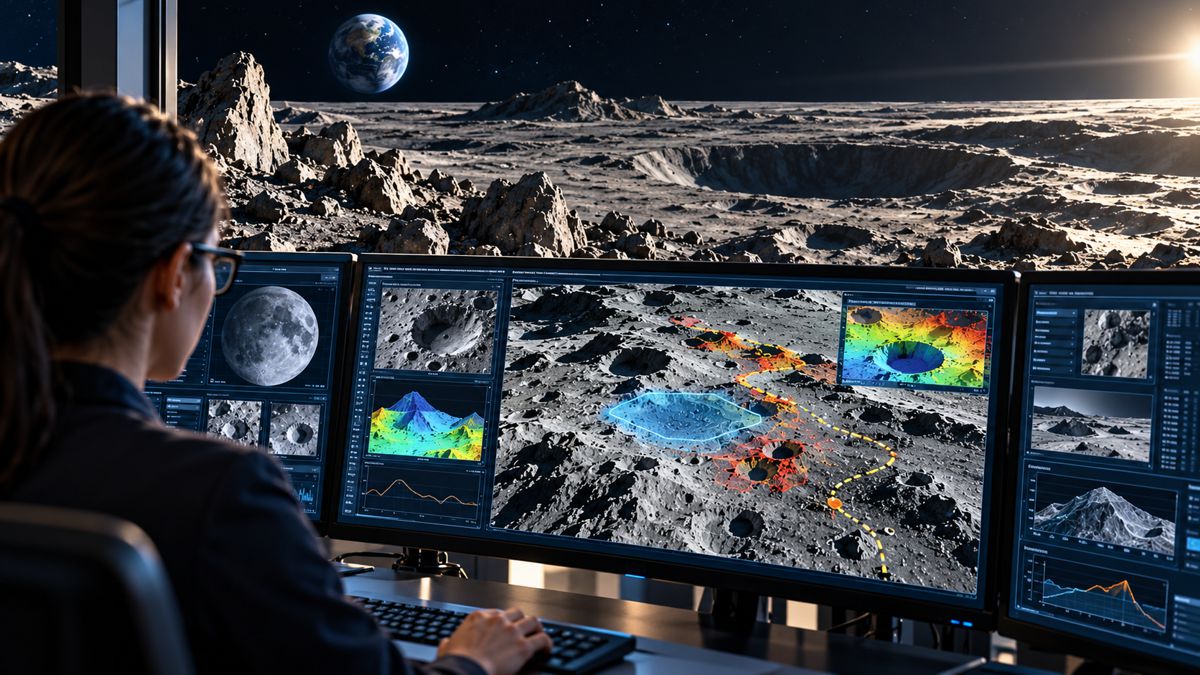
Researchers at The Ohio State University have developed an artificial intelligence framework designed to assess potential lunar landing sites by bringing together planetary imagery, geological observations and geospatial information. Known as LUMINA, the system can undertake multistep investigations of the Moon’s surface, identify potential hazards and explain the evidence behind its assessments, offering mission planners a new way to work through the substantial volumes of data involved in selecting locations for future exploration.
Developed by Gokce Inal, a PhD candidate in civil, environmental and geodetic engineering, LUMINA builds on earlier university research into AI models trained specifically to interpret lunar terrain. Preliminary findings, presented at the 58th Annual Meeting of the American Astronomical Society’s Division for Planetary Sciences in October 2026, indicate that the framework can produce scientifically relevant assessments of candidate landing sites while providing explanations for its recommendations.
The research comes as space agencies prepare for increasingly demanding operations around the Moon’s south pole, where rugged terrain, unusual lighting conditions and the possible presence of water ice complicate the selection of suitable landing locations. The same geographical information will eventually influence the positioning of habitats, power systems, transport routes and other infrastructure needed to support extended human activity on the lunar surface.
Briefing
- Ohio State University has developed LUMINA, an AI framework for lunar terrain analysis and mission planning.
- The system builds on LLaVA-LE, an existing vision-language model trained to interpret lunar imagery.
- LUMINA can undertake multistep investigations, assess potential landing hazards and explain its recommendations.
- Preliminary findings were presented at the American Astronomical Society’s DPS 58 meeting in October 2026.
- Further evaluation is planned using higher-quality lunar datasets, with human specialists retaining responsibility for mission decisions.
From Lunar Imagery to Scientific Assessment
LUMINA extends research combining computer vision with planetary science. Its underlying technology, LLaVA-LE, was developed to interpret lunar imagery and answer questions about geological characteristics, providing a specialised foundation for more sophisticated analytical tasks.
The earlier model was described in a research paper published at the 2026 IEEE/CVF Conference on Computer Vision and Pattern Recognition Workshops. Researchers Gokce Inal, Pouyan Navard and Alper Yilmaz developed a lunar dataset called LUCID, comprising approximately 96,000 high-resolution monochrome images with associated descriptive captions, together with 81,000 question-and-answer pairs derived from around 20,000 images.
Using this material, the team adapted an existing vision-language model to recognise lunar terrain features and provide scientifically oriented responses. In evaluations using GPT and Gemini models as judges, LLaVA-LE achieved an overall performance score 3.3 times that of the baseline LLaVA model. The result relates to the earlier vision-language system, rather than LUMINA itself, and reflects the evaluation methodology used in the published research.
LUMINA takes the work further by introducing an agentic framework capable of organising and carrying out a sequence of analytical operations. Instead of producing an isolated description of an image, it can examine a question about a potential landing area, undertake multiple assessment steps and construct an explanation using the available information.
“Most AI tools are passive tools,” Inal explained. “You ask a question and get an answer, but we’re moving toward an active scientific assistant that can work through a problem alongside the experts.”
Assessing a potential landing site requires information about surface slope, obstacles, geological characteristics and operational constraints, often drawn from datasets collected by different instruments and missions. Bringing these observations together is a demanding task, particularly when the available imagery varies in resolution, coverage and the conditions under which it was collected.
The Engineering Challenges of the Lunar South Pole
NASA’s work on potential landing regions provides a practical indication of the complexity involved. In October 2024, the agency refined its Artemis III candidate landing regions to nine locations, considering scientific potential alongside terrain characteristics, illumination, communications and mission accessibility.
The south polar environment differs considerably from the relatively accessible equatorial terrain visited during the Apollo programme. Crater rims, steep slopes and boulder fields occupy areas that are also scientifically attractive, while the Sun’s low position above the horizon produces exceptionally long shadows and difficult visibility conditions.
NASA’s engineering assessments have identified particular problems associated with this lighting environment. In some targeted south polar regions, the Sun rises no more than seven degrees above the horizon, producing large contrasts between illuminated surfaces and deep shadow. These conditions affect terrain interpretation, astronaut visibility and the design of operational lighting systems.
A relatively flat area may be suitable for a spacecraft but poorly positioned for solar power generation or communications with Earth. A ridge offering extended illumination might provide access to nearby permanently shadowed craters, although transporting equipment across the intervening terrain could prove difficult. The requirements of the landing vehicle, available power and intended surface activities all influence which locations are practical.
Recent planetary research has demonstrated how restrictive these conditions can become. A 2026 study published in the Journal of Geophysical Research: Planets identified 130 potential landing sites within Artemis candidate regions that met specified landing requirements and offered access to permanently shadowed regions within two kilometres. Its illumination modelling found considerable differences between locations and mission dates, with the availability of suitable sites varying according to the year of operation.
Such assessments require more than identifying craters or estimating surface gradients. Terrain characteristics must be examined alongside lighting, access and mission-specific engineering requirements, with enough supporting evidence for specialists to understand the limitations of any proposed location.
Supporting Human Decisions Rather Than Replacing Them
The Ohio State researchers have positioned LUMINA as a decision-support system rather than an autonomous authority over landing site selection. Its intended role is to assist scientists in investigating potential locations and interpreting large collections of imagery and geospatial information, while final decisions remain with mission planners.
Identifying a geological feature from an orbital image is one task; determining whether a spacecraft can safely land nearby involves additional engineering information about the vehicle, its operational tolerances and the mission being undertaken. Even an apparently promising landing area may require detailed examination of hazards that cannot be resolved from the available imagery.
The preliminary performance of LUMINA has been described by the researchers as promising, although the announced findings do not establish a quantified improvement in landing site selection accuracy, reductions in planning time or performance under operational mission conditions. Further testing will be needed before the framework can be assessed against established planning procedures.
A coherent scientific explanation does not guarantee that the underlying observations are correct, particularly when recommendations might influence safety-critical decisions. Any operational deployment would require traceable evidence, independently validated results and clearly defined limits on the system’s authority.
Inal sees the framework as an additional analytical resource for specialists handling increasingly complicated mission datasets.
“AI systems are going to become critical tools for space exploration that will help humans analyze the millions of images and datasets that future missions will require,” she said. “This work is meant to serve as a bridge between those two worlds, AI and planetary science.”
From Landing Locations to Lunar Infrastructure
Although the immediate research concerns exploration and site assessment, many of the same geospatial challenges will arise when planning longer-term lunar infrastructure. Habitats, energy systems, storage areas and scientific installations all depend upon accurate knowledge of terrain, access routes and local environmental conditions.
NASA’s lunar south pole planning work identifies several constraints that will influence surface development, including changing illumination, topographical obstacles and the distribution of potential resources. Permanently shadowed regions are particularly interesting because extremely low temperatures can preserve water ice and other frozen materials, although the quantity, distribution and accessibility of these deposits remain uncertain.
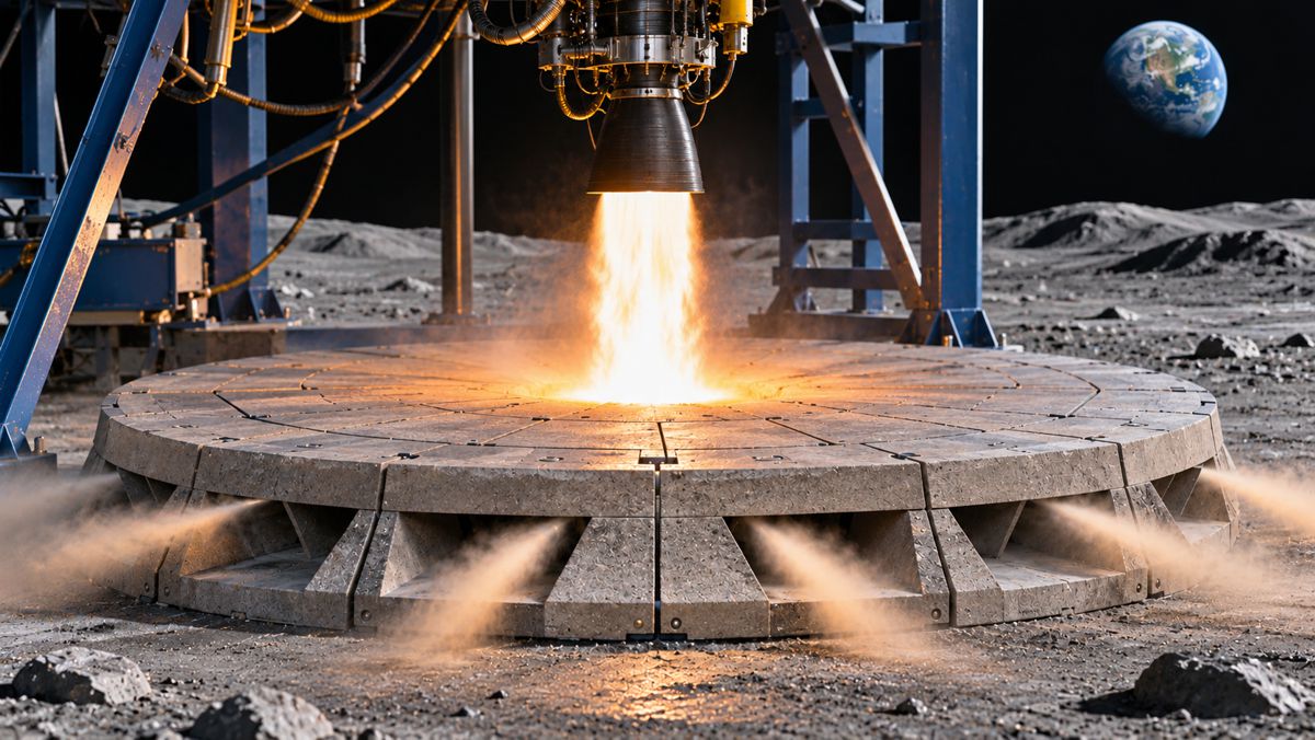
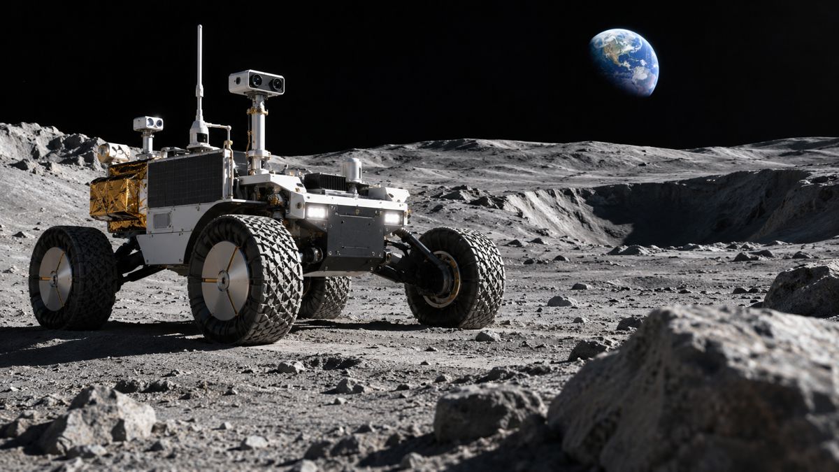
Future construction activity would introduce additional complications. Equipment must be transported across uneven ground, infrastructure sites must accommodate the characteristics of the lunar surface, and operations will have to account for limited energy availability and extreme environmental conditions. The position of landing areas relative to installed equipment also needs careful consideration, since rocket exhaust can disturb surface material and propel debris considerable distances.
Digital terrain models, geotechnical characterisation and route assessment are already established parts of major infrastructure planning on Earth. Their lunar equivalents will have to account for unfamiliar surface materials, sharply varying illumination and equipment operating in a vacuum, but the underlying need for reliable information about the ground remains much the same.
LUMINA has not been demonstrated as an infrastructure design or construction planning system. Its ability to investigate terrain and assemble supporting evidence could, however, contribute to more specialised planning tools as the quality and coverage of lunar survey data improve.
Applications Beyond the Moon
Alper Yilmaz, a professor of civil, environmental and geodetic engineering at Ohio State and co-author of the research, sees potential applications across other planetary environments: “There aren’t many GPT-like map models being developed for space exploration, so our effort is aimed at making one generalizable to other surfaces, like Mars or some asteroids,” he said.
Adapting the technology would require consideration of differences in imagery, terrain characteristics and available scientific datasets. A model trained to recognise lunar geological features would not necessarily interpret Martian landscapes or asteroid surfaces with the same reliability, and any transfer would need to be evaluated against the characteristics of the new environment.
Similar approaches could eventually be investigated for terrestrial surveying and environmental assessment, where specialists routinely work with imagery, mapping information and scientific observations collected from multiple sources. The current research, however, remains focused on planetary exploration rather than operational engineering applications on Earth.
The Ohio State team plans to continue testing LUMINA against new, higher-quality lunar datasets, examining how effectively it can assist scientists working through complex mission-planning problems. Future exploration missions will provide further imagery and observations, adding to the information available for geological analysis and site assessment.
As plans for extended lunar surface operations develop, the volume of terrain data available to mission planners will continue to grow. Turning that information into dependable assessments of where spacecraft can land, equipment can travel and infrastructure might eventually be built will remain a substantial scientific and engineering task.
Key Industry Questions
- What is LUMINA and who developed it? LUMINA is an experimental AI framework developed by Gokce Inal at The Ohio State University. It is designed to analyse lunar geospatial information, assess potential landing sites and provide evidence-based explanations to mission planners.
- How does LUMINA differ from conventional image-recognition software? Conventional image-recognition tools typically identify or classify features. LUMINA introduces an agentic framework intended to carry out multistep scientific analyses and generate assessments based on several sources of information.
- What is the relationship between LUMINA and LLaVA-LE? LLaVA-LE is the specialised lunar vision-language model underpinning the newer research. LUMINA builds on that work with a framework designed to organise and perform more complex analytical tasks.
- Why is the lunar south pole difficult for spacecraft and surface operations? The region contains steep slopes, craters, boulders and challenging illumination conditions. Mission planners must also consider communications, surface accessibility, power generation and proximity to scientifically valuable locations.
- Can LUMINA independently select a safe lunar landing site? No operational capability of that kind has been established. The researchers describe LUMINA as a decision-support system, with final assessments remaining the responsibility of human specialists.
- How could artificial intelligence contribute to lunar infrastructure development? AI-assisted terrain analysis could support preliminary site investigation, route assessment and the identification of locations suitable for further engineering evaluation. Detailed construction and infrastructure design would require additional validated information.
- Has LUMINA been independently validated for operational missions? The announced findings are preliminary and were presented at a scientific conference. The research team plans further evaluation using additional lunar datasets. The earlier LLaVA-LE model has a separate published research paper.
- Could similar technology be used for terrestrial construction projects? The underlying approach could be investigated for applications involving geospatial imagery and technical data, including infrastructure surveying and environmental assessment. LUMINA itself has not been demonstrated as a construction engineering tool.
Strategic Takeaways
- Multistep geospatial analysis offers a broader application for AI. Agentic frameworks can potentially combine terrain observations and mission requirements into more comprehensive site assessments, although their reliability remains to be demonstrated.
- Lunar infrastructure planning involves recognisable engineering constraints. Terrain suitability, equipment access, energy provision and the positioning of facilities must all be considered under environmental conditions considerably different from those on Earth.
- Specialist training datasets can improve domain-specific AI performance. The LLaVA-LE research demonstrates the potential of adapting vision-language models to planetary imagery, providing a technical foundation for subsequent development.
- Operational acceptance will depend on verifiable results. Scientific explanations must be supported by traceable observations, validated assessments and clear boundaries between AI recommendations and human decisions.
- Planetary exploration provides a demanding environment for geospatial research. Techniques developed for lunar terrain analysis may eventually inform other planetary and terrestrial applications, provided they can be adapted and independently evaluated.