New System Paves the Way for Smart City Navigation
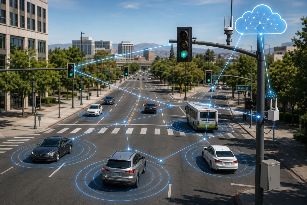
Navigating bustling urban landscapes is no small feat. With buildings towering on every side and dense networks of concrete and steel, traditional navigation technologies often come up short.
GPS signals get blocked, reflections distort data, and the sheer volume of urban infrastructure creates what experts call “urban canyon” effects. To keep pace with the demands of intelligent transportation systems (ITS), urban navigation systems need a game-changing upgrade. Cue the recent advancements from Nanjing University of Aeronautics and Astronautics, in collaboration with partners in Hong Kong and the UK, who have unveiled a pioneering GNSS/IMU/LO integration system.
Published in Satellite Navigation, this system promises more accurate, reliable positioning for vehicles in complex urban settings – and it’s set to be a game changer for smart cities everywhere.
The Urban Navigation System: Breaking Through the GPS Barrier
Global Navigation Satellite Systems (GNSS) have long been the go-to for location tracking, but they’re far from flawless in cityscapes where buildings and infrastructure obstruct signals. In such environments, GNSS and Inertial Measurement Units (IMU) struggle to provide consistent and precise positioning. This new study, however, introduces a cutting-edge integration of GNSS, IMU, and Light Detection and Ranging Odometry (LiDAR), overcoming the shortcomings of traditional systems.
Through the unique combination of GNSS with advanced LiDAR odometry, researchers have crafted a model that enhances positioning accuracy by predicting and compensating for errors in real time. Unlike conventional systems that rely solely on GNSS signals, this system dynamically weights data from both GNSS and LiDAR, providing dependable navigation even in dense urban landscapes.
How the System Works
The researchers’ breakthrough lies in the integration of the Squared Exponential Gaussian Process Regression (SE-GPR) model, which predicts LiDAR odometry errors by analysing vehicle velocity and point cloud data – a type of data that visually represents distances to surfaces. This model enables the system to adjust its positioning calculations based on environmental conditions, boosting reliability in scenarios where GNSS signals are weak or absent.
Additionally, a novel LiDAR-Aided Lateral Constraint (LALC) was developed, which limits the system’s error drift over time, achieving an impressive 35.9% improvement in horizontal accuracy and a 50% enhancement in 3D positioning.
Lead researcher Dr. Tong Yin shared insights on the project’s significance, stating: “This research showcases how the integration of a cutting-edge error model with traditional GNSS and IMU systems leads to remarkable improvements in urban navigation. Our weighted data fusion approach enables more reliable positioning in areas where conventional systems fall short, paving the way for smarter transport solutions.”
Transforming Urban Transport and Logistics
This system’s impact isn’t limited to just one field. By addressing the challenges of navigation in urban landscapes, the technology could redefine how we approach several critical applications:
- Autonomous Vehicles: Reliable navigation is the backbone of self-driving technology, especially in the unpredictably congested urban environment. With improved positioning accuracy, autonomous vehicles can navigate city streets more safely, reducing risks to pedestrians and other vehicles.
- Urban Logistics and Delivery: In the era of e-commerce and same-day delivery, urban logistics demand fast, precise navigation. By incorporating this advanced GNSS/IMU/LO system, delivery fleets can minimise route inefficiencies, improve punctuality, and enhance safety in congested areas.
- Smart City Infrastructure: Cities implementing this system in public transport networks could achieve significant reductions in fuel consumption and emissions, as buses and trams can take optimised routes with fewer stops and delays.
Such versatile applications underscore the system’s potential to facilitate the smart cities of tomorrow, where safety, efficiency, and sustainability are paramount.
At the core of this innovation lies the Squared Exponential Gaussian Process Regression (SE-GPR) model and the LiDAR-Aided Lateral Constraint (LALC). Let’s take a closer look at each of these pivotal components.
Squared Exponential Gaussian Process Regression (SE-GPR)
SE-GPR isn’t just another data model; it’s designed to learn and predict errors in real-time by continuously monitoring vehicle velocity and the point cloud features generated by LiDAR.
Traditional GNSS systems might be stumped by signal-blocking structures, but SE-GPR fills in the gaps by predicting the likelihood of errors based on surrounding conditions. With this proactive approach, SE-GPR doesn’t just react to obstructions – it anticipates them.
LiDAR-Aided Lateral Constraint (LALC)
The LiDAR-Aided Lateral Constraint, or LALC, goes hand-in-hand with SE-GPR, limiting error accumulation by adjusting positioning laterally.
This constraint enables the system to reduce “drift” – a common issue in urban settings where errors in positioning data can accumulate quickly. The result? An astonishing boost in horizontal and 3D accuracy, giving the system a clear edge over traditional setups.
Future Enhancements and Real-Time Efficiency
While the system’s current success is undoubtedly impressive, its developers have their sights set on further advancements. Ongoing research is exploring ways to refine the model, reducing the computational demands necessary for real-time deployment. In simpler terms, the goal is to make this sophisticated technology not only highly accurate but also incredibly fast and efficient.
Anticipated improvements include optimising the system for dynamically changing environments – think bustling city centres, where everything from traffic flow to pedestrian patterns can shift in a heartbeat. By fine-tuning the model for such conditions, researchers hope to bring even more adaptability to urban navigation.
A Step Forward for Intelligent Transportation
In a world where digital transformation is redefining industries, advancements in urban navigation signify a major leap forward. Intelligent transportation systems are the foundation of future city planning, and this research is set to shape that foundation in profound ways.
Moreover, it’s worth noting that cities across the globe are embracing smart city technologies at a rapid pace. The market for urban ITS solutions is projected to grow exponentially, driven by increased investment in autonomous vehicles, improved public transport networks, and demand for sustainable transport options. As smart cities continue to rise, systems like the GNSS/IMU/LO integration may soon become the backbone of global urban infrastructure.
A Bright Horizon for Smart Urban Navigation
This new GNSS/IMU/LO integration system represents more than just a technological milestone; it’s a pathway to safer, smarter cities. From enhancing autonomous vehicle operations to optimising logistics routes, the applications are broad, impactful, and timely. With an eye on continuous improvement, this research team is poised to lead the charge in next-gen urban navigation, laying the groundwork for ITS solutions that keep cities running smoothly and safely.
In the end, with technology like this in play, smart cities are not just on the horizon – they’re practically here.