Ouster and GeoCue Push Drone LiDAR Further Into Infrastructure Mapping
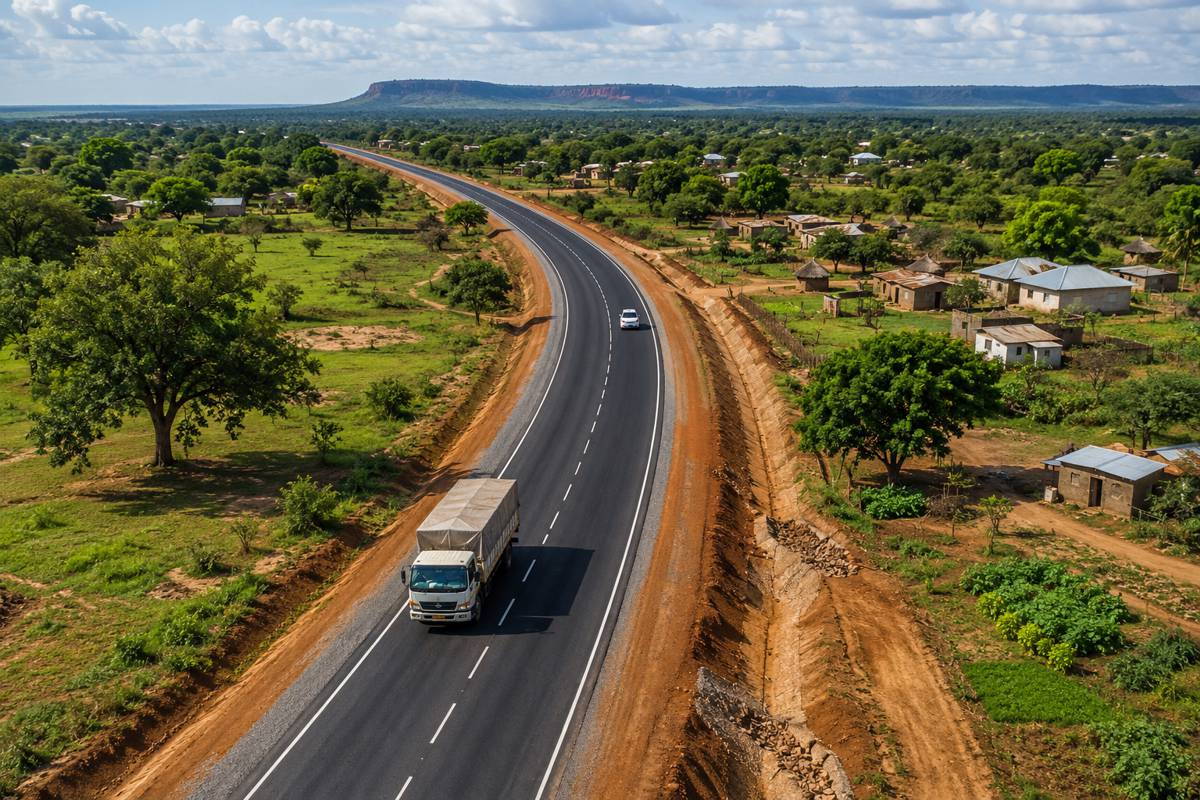
Drone surveying of power lines, transport corridors and major infrastructure is becoming an increasingly demanding sensing problem. Aircraft need to cover long distances efficiently while still capturing conductors, structural edges and other relatively small features, often from altitudes dictated as much by operating constraints as by the ideal geometry of the survey.
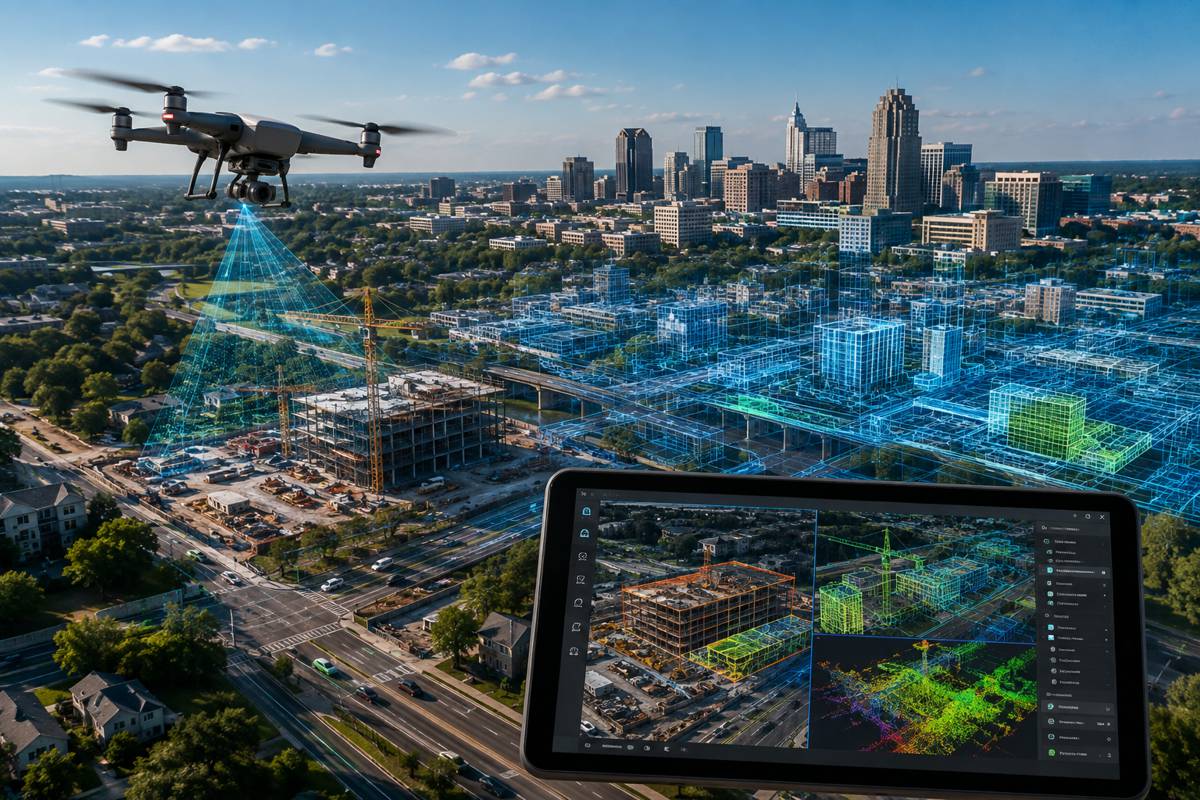
GeoCue is addressing that problem with a new generation of its TrueView drone mapping systems built around Ouster’s Rev8 OS1 Max digital lidar. The companies have jointly tested and tuned the combination in Huntsville, Alabama, pairing the 256-channel sensor with GeoCue’s TrueView payloads and LP360 processing environment.
There is also an American procurement dimension. Ouster says the Rev8 OS1 Max complies with Build America, Buy America requirements, giving GeoCue a domestically compliant lidar option for projects where federal funding brings US manufacturing requirements into equipment procurement.
Behind that compliance story is a substantial change in the data being collected. The OS1 Max can measure targets at 200 metres at 10 per cent reflectivity, has a maximum detection range of approximately 500 metres and can generate more than 10 million points per second. It also captures colour alongside its lidar measurements, creating a point cloud in which colour information originates within the sensing architecture rather than being added afterwards solely from separately captured imagery.
Briefing
- GeoCue is integrating Ouster’s Rev8 OS1 Max lidar into its TrueView drone mapping product line.
- The OS1 Max offers 256 lidar channels and up to 10.4 million points per second.
- Range is rated at 200 metres on a 10 per cent reflective target, with maximum detection approaching 500 metres.
- Native colour provides RGB information alongside the sensor’s 3D measurements.
- Ouster says the Rev8 family complies with Build America, Buy America requirements for applicable federally funded US infrastructure projects.
Native Colour and Survey Data
Traditional aerial lidar and photogrammetry systems can combine excellent geometric and photographic information, but those datasets originate from different sensors. Cameras and lidar have different positions, optics, timing and measurement characteristics, requiring calibration and processing to bring the resulting information together.
GeoCue’s TrueView systems still employ dual cameras, so native-colour lidar does not eliminate photographic imagery. Instead, the lidar itself supplies another RGB reference that LP360 can use when registering camera imagery against the point cloud.
Ouster describes Rev8 as capturing native colour alongside its 3D measurements, with colour and depth aligned within the sensor architecture rather than registered afterwards solely in software. For infrastructure surveying, the practical value will depend on whether that additional information improves the consistency of classification, inspection and subsequent analysis.
A surveyor inspecting a utility corridor does not simply need an attractive colourised point cloud. Geometry, colour and camera imagery need to remain sufficiently well aligned for features to be identified and measured reliably across a large dataset, often long after the flight itself.
Range and Corridor Mapping
The OS1 Max also changes the geometry available to drone operators. Ouster specifies a 200-metre range against a target with 10 per cent reflectivity, compared with 90 metres for its standard Rev8 OS1, together with a maximum detection range of approximately 500 metres and a 45-degree vertical field of view.
Maximum lidar range does not automatically translate into useful survey range. Target reflectivity, atmospheric conditions, flight geometry, required point density and the accuracy demanded from the finished dataset all affect the distance at which useful measurements can be collected. GeoCue’s interest is therefore less about the headline maximum than the ability to maintain usable returns while operating farther from the target.
Utility surveying makes that particularly relevant. Conductors and structural components can be difficult lidar targets, while operators may need to maintain separation from towers, lines and surrounding obstacles. The Rev8 OS1 Max uses a smaller spot size and tighter beam intended to improve resolution of features including power lines and structural edges.
Its 256-channel architecture can operate in 2K and 4K horizontal resolution modes, allowing dense point collection to be maintained as aircraft speed increases. On long linear surveys, that creates the possibility of covering more ground without allowing the point cloud to become too sparse for the required deliverable.
Fixed-wing platforms extend the same equation further. GeoCue identifies both propeller and fixed-wing aircraft as applications for the sensor, taking the integration beyond relatively short multirotor flights towards longer corridor mapping missions where flight speed, altitude and point density have to be balanced throughout the operation.
Domestic Procurement
The choice of lidar was not based solely on measurement performance. Ouster announced in June 2026 that its Rev8 OS sensors comply with Build America, Buy America requirements, which place domestic-content requirements on products used in applicable federally funded infrastructure projects.
That can push procurement considerations surprisingly deep into the technology stack. A drone may be assembled in one country, its navigation components produced elsewhere, its cameras sourced internationally and its lidar built somewhere else again. For equipment intended for federally supported work, provenance can consequently become part of the specification alongside accuracy, range, weight and software compatibility.
GeoCue has made that issue explicit. “We are moving America’s drone surveying onto American sensing by pairing our TrueView payloads with Ouster’s Rev8 OS1 Max,” said Frank Darmayan, CEO of GeoCue. “This transition allows us to offer our customers a compliant, high-performance solution that delivers the survey-grade data they depend on for critical infrastructure monitoring and large-scale mapping projects.”
The companies selected the sensor following joint flight testing and firmware tuning at GeoCue’s base in Huntsville. Survey payloads depend on accurate timing, positioning and calibration across lidar, cameras, GNSS and inertial measurement systems, with errors propagating directly into the finished point cloud. Integrating a new sensor into an established mapping payload therefore involves considerably more than making the hardware physically compatible.
Infrastructure Mapping at Scale
Ouster developed the Rev8 architecture for applications extending beyond surveying, including autonomous vehicles, robotics, smart infrastructure and industrial systems. The demands of aerial mapping are rather different. An autonomous machine needs to understand its surroundings immediately; a survey payload has to produce geometrically defensible information that may be measured, analysed and revisited long after the aircraft has landed.
The OS1 Max sits at the top of the Rev8 range with 256 channels, a 45-degree vertical field of view and output approaching 10.5 million points per second. Ouster has also designed the wider Rev8 platform around automotive-grade reliability and future functional-safety requirements, bringing technology developed for machine perception into an application where repeatable measurement is the priority.
“Our partnership with GeoCue is a testament to how native color digital lidar can serve as the bedrock for physical AI applications that have a profound impact on infrastructure and public safety,” said Ouster CEO Angus Pacala. “By integrating our Rev8 OS1 Max sensor, we are providing the survey-grade precision and reliability required to empower the next generation of drone mapping professionals.”
The language of physical AI reflects the wider market Ouster is pursuing, but GeoCue’s immediate application is more practical. Utilities and infrastructure owners need accurate records of assets spread across large areas, while survey contractors need to collect those records quickly enough to make aerial inspection economically worthwhile. Greater sensing range and higher point density potentially allow more productive flights, while native colour adds another source of information to the mapping workflow.
The real test will come in the environments these systems are intended to survey. Power lines, substations, roads, bridges and long infrastructure corridors are unforgiving targets, where thin conductors, vegetation, reflective surfaces, changing terrain and large differences in elevation can quickly expose weaknesses in aerial sensing systems.
GeoCue’s Rev8-equipped TrueView systems will ultimately be judged on how much of the sensor’s additional range, density and colour information survives those conditions and appears in the finished survey. For infrastructure owners and surveyors, the useful measure is not how much data the sensor can generate, but how much reliable information comes back from the flight.

Key Industry Questions
- What is the Ouster Rev8 OS1 Max? It is Ouster’s flagship Rev8 digital lidar sensor, offering up to 256 channels, a 45-degree vertical field of view and native colour capture alongside 3D lidar measurements.
- How far can the OS1 Max detect objects? Ouster rates it at 200 metres against targets with 10 per cent reflectivity, with a maximum detection range of approximately 500 metres. Effective survey range depends on operating conditions and the required dataset quality.
- Why is 256-channel lidar useful for drone surveying? More vertical channels can increase point density and improve representation of small or complex features, particularly when an aircraft is travelling quickly or surveying from greater distance.
- What does native-colour lidar mean? Ouster describes Rev8 as capturing colour alongside its 3D measurements within the sensing architecture rather than creating colourised point clouds solely by registering separate camera imagery afterwards.
- Does native colour replace the cameras on GeoCue TrueView systems? No. GeoCue’s TrueView payloads retain dual cameras. Native-colour lidar provides an additional RGB reference that can assist LP360 with registration and sensor fusion.
- Why is the 200-metre range useful for utility surveys? Greater operating distance can provide more flexibility around utility corridors while maintaining lidar returns, although usable range depends on reflectivity, flight conditions and required point density.
- What does BABA compliance provide? It allows qualifying equipment to meet domestic procurement requirements associated with applicable federally funded US infrastructure projects. Individual project and agency requirements still need to be checked.
- Can the sensor be used on fixed-wing survey aircraft? GeoCue identifies both propeller and fixed-wing platforms as potential applications, particularly where high point density needs to be maintained during long corridor surveys.
Strategic Takeaways
- Native-colour lidar adds another registration reference to aerial mapping rather than simply producing more visually attractive point clouds.
- Longer useful sensing range could give survey operators greater freedom in flight altitude and corridor planning, provided required accuracy and density are maintained.
- High point output becomes commercially useful when it permits faster flight without sacrificing the dataset required by the client.
- BABA compliance is pushing domestic-content considerations into specialised infrastructure technology including sensors and survey payloads.
- Combining lidar, cameras, positioning and processing software remains a systems-engineering problem; sensor specifications alone do not determine survey quality.