GEO Business Maps the Future of Infrastructure Intelligence
Location data has quietly become one of the most influential forces shaping modern infrastructure, transport networks, utilities, emergency response systems and urban planning. From monitoring climate risks and managing digital twins to supporting autonomous mobility and infrastructure resilience, geospatial intelligence now sits at the heart of decision-making across both public and private sectors. Against that fast-moving backdrop, GEO Business is returning to Excel London on 3 and 4 June 2026 with what has become one of Europe’s most comprehensive gatherings for the geospatial industry.
This year’s event arrives at a particularly significant moment for infrastructure and construction professionals. Governments are demanding better asset visibility, utilities are under pressure to modernise ageing networks, and AI-driven spatial analytics are rapidly moving from experimental tools into operational systems. Meanwhile, organisations managing roads, railways, utilities and cities are increasingly relying on live location intelligence to improve efficiency, reduce risk and support long-term resilience planning.
GEO Business 2026 reflects that shift in priorities. The event’s newly launched seminar programme features more than 150 CPD-accredited sessions across eight stages, supported by over 200 speakers from industry, government, technology firms and academia. The programme moves well beyond traditional GIS discussions and instead focuses on how geospatial technologies are influencing critical infrastructure, digital engineering, emergency planning, climate adaptation and AI-enabled operations.
For infrastructure professionals, the value lies not merely in discovering new tools, but in understanding how geospatial intelligence is becoming embedded into almost every operational layer of the built environment.
Briefing
- GEO Business 2026 takes place at Excel London on 3 and 4 June 2026
- The event features 150+ CPD-accredited seminars and 200+ speakers
- Topics include AI, climate resilience, digital twins, emergency response and spatial analytics
- Speakers represent organisations including BT, DEFRA, Mastercard, NHS, Ordnance Survey, TomTom and UK Power Networks
- The exhibition highlights the growing role of geospatial intelligence in infrastructure, utilities, transport and urban planning
Geospatial Intelligence Steps Into the Infrastructure Mainstream
For years, geospatial technology was often viewed as a specialist discipline sitting quietly behind surveying teams and GIS departments. That perception has changed dramatically. Today, spatial intelligence influences everything from utility maintenance schedules and flood management strategies to logistics optimisation and smart city development.
Recent industry research from organisations such as the World Geospatial Industry Council and McKinsey has highlighted how digital infrastructure and location-based analytics are becoming essential components of national productivity and resilience strategies. Governments worldwide are investing heavily in spatial data ecosystems to support energy transition programmes, infrastructure upgrades and disaster preparedness.
That broader transformation is clearly reflected throughout GEO Business 2026. The programme has been designed to appeal not only to geospatial specialists, but also to infrastructure managers, transport planners, engineers, utility operators, digital construction professionals and senior technology decision-makers.
The event’s seminar structure demonstrates how location intelligence is now interwoven with operational strategy rather than functioning as a standalone technical capability. Sessions addressing AI integration, digital engineering, behavioural analytics and emergency response show how rapidly the discipline is evolving beyond traditional mapping.
AI Reshapes the Future of Geospatial Technology
Artificial intelligence has become one of the dominant themes running through this year’s programme. While AI discussions often drift into abstract speculation, GEO Business appears focused on practical deployment and industry adaptation.
One of the headline sessions, AI ate my GIS, presented by Sparkgeo CEO Will Cadell, examines how artificial intelligence is transforming the way spatial information is generated, interpreted and consumed. The session explores a growing concern within the geospatial community: if AI increasingly generates maps and spatial outputs automatically, what becomes of the professionals and datasets underpinning those systems?
It’s an issue carrying genuine significance for infrastructure operators. AI models depend heavily on accurate, current and authoritative geospatial data. Poor-quality spatial information can create substantial downstream risks, particularly in sectors such as autonomous transport, utilities management and emergency planning.
The infrastructure sector is already seeing AI-driven spatial systems deployed for predictive maintenance, traffic analysis, construction planning and asset monitoring. Major engineering consultancies and technology firms are integrating AI-enhanced spatial analytics into digital twin platforms to improve infrastructure performance and reduce operational inefficiencies.
Another notable seminar, Beyond code: How AI is redefining software engineering roles, led by Mastercard’s Director of Software Engineering Usama Shamma, widens the discussion further. Rather than focusing solely on coding automation, the session examines how AI is altering engineering skill requirements and operational structures.
That conversation matters far beyond software development. Construction, utilities and transport sectors are all grappling with the same challenge: how to integrate AI effectively without losing critical human expertise and operational oversight.
Digital Twins Continue Their Expansion Across Infrastructure
Digital twins have steadily evolved from niche innovation projects into practical operational tools for infrastructure owners and public authorities. GEO Business 2026 places considerable emphasis on how spatial data feeds these increasingly sophisticated systems.
Infrastructure operators are now using digital twins to monitor roads, bridges, power networks, rail corridors and urban environments in near real time. These systems combine geospatial data, IoT sensors, engineering models and live operational feeds to create dynamic digital representations of physical assets.
The ability to visualise infrastructure conditions spatially has become especially important for resilience planning. Flood risks, traffic congestion, utility outages and structural deterioration can now be modelled more accurately using integrated location intelligence platforms.
As governments continue to invest in national digital infrastructure strategies, geospatial professionals are finding themselves positioned much closer to executive decision-making than ever before. Events such as GEO Business provide a useful snapshot of how rapidly these disciplines are converging.
Mapping Behavioural Patterns Through Location Data
One of the more intriguing sessions at GEO Business 2026 comes from BT Active Intelligence, where Lead Geospatial Data Scientist Dr Tim Rains will present The Great British interest map: Geospatial insights into regional behaviours.
The session explores how location data reveals behavioural differences between communities across the UK. While consumer behaviour analytics may initially appear distant from infrastructure development, the implications are considerable.
Transport planning, telecommunications infrastructure, retail logistics, public services and urban development increasingly rely on behavioural modelling informed by spatial analytics. Understanding how populations move, communicate and interact within geographic areas allows infrastructure operators to make more informed investment decisions.
This trend aligns with broader smart city initiatives emerging across Europe and Asia, where anonymised mobility data and spatial behaviour modelling are helping authorities optimise public transport systems, improve traffic flows and plan future infrastructure capacity.
The growing sophistication of spatial analytics is transforming geospatial technology from a passive mapping function into a predictive operational capability.
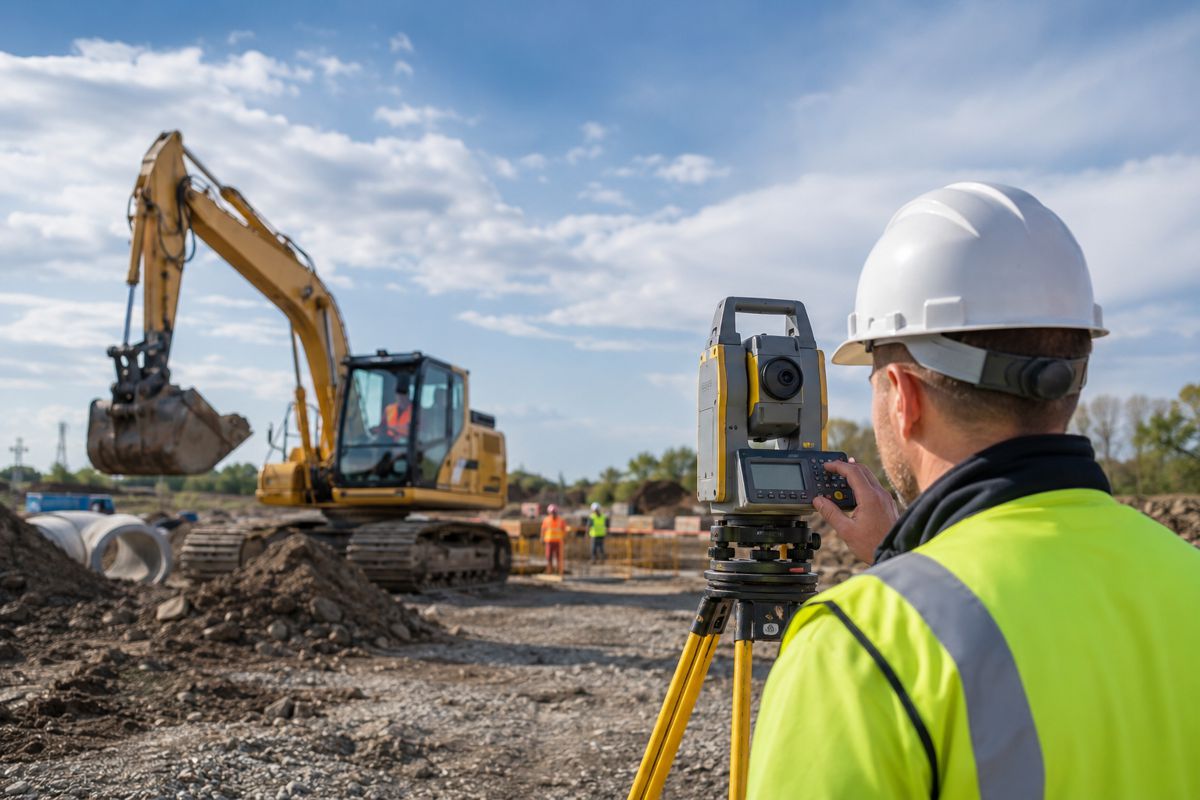
Surveying and Reality Capture Move Centre Stage
Surveying technology continues to evolve at remarkable speed, particularly with the expansion of LiDAR, photogrammetry, drone mapping and 3D reality capture systems. GEO Business 2026 includes several sessions demonstrating how these technologies are being applied to complex urban environments.
Among the stand-out presentations is Measuring a London landmark: The Barbican, delivered by Plowman Craven’s Geospatial Learning & Development Specialist Marianna Carcano. The seminar focuses on the challenges involved in digitally mapping one of London’s most recognisable and architecturally complex structures.
Projects such as this highlight the increasing precision now demanded across infrastructure and heritage management sectors. Accurate spatial modelling supports renovation planning, maintenance scheduling, structural analysis and long-term asset preservation.
Reality capture technologies are also becoming essential within transport infrastructure, utilities and construction workflows. High-resolution spatial data enables engineers and planners to reduce rework, improve safety and accelerate project delivery.
The infrastructure sector’s ongoing push toward digital construction methods means geospatial data collection is no longer confined to project initiation. Instead, it increasingly supports the entire asset lifecycle from design through to operations and maintenance.
Humanitarian Mapping Gains Global Importance
One of the more socially significant sessions within the programme comes from the Humanitarian OpenStreetMap Team. Its live “Missing Maps Mapathon” encourages participants to contribute directly to disaster preparedness and humanitarian development projects using the Mapswipe app.
While the exercise may appear relatively simple on the surface, humanitarian mapping has become critically important in regions vulnerable to natural disasters, conflict and climate-related emergencies.
Accurate location data can dramatically improve emergency response coordination, evacuation planning, aid delivery and infrastructure recovery operations. International agencies increasingly rely on open geospatial datasets when operating in remote or rapidly changing environments.
Climate change is amplifying the importance of these initiatives. Flooding, wildfires, heatwaves and severe weather events are placing additional pressure on infrastructure systems worldwide. Reliable geospatial intelligence is becoming indispensable for both preparedness and response.
The inclusion of humanitarian mapping within GEO Business 2026 reflects a broader recognition that location intelligence carries significant societal value beyond commercial operations.
Government and Critical Infrastructure Under the Spotlight
Public sector participation remains one of the defining strengths of GEO Business. This year’s speaker list includes representatives from DEFRA, NHS, Ordnance Survey and UK Power Networks, alongside technology and engineering organisations.
That mix is particularly relevant because critical infrastructure resilience increasingly depends on data sharing between public authorities, utilities, transport operators and private-sector technology providers.
TomTom’s seminar, Serious topic, fun quiz: Global vector maps powering federal government operations, examines how authoritative mapping systems are supporting security operations and mission-critical government decision-making.
Modern governments are under mounting pressure to improve infrastructure resilience while operating under tight financial constraints. Geospatial systems allow agencies to prioritise investments more effectively, improve operational awareness and coordinate responses across multiple departments.
As infrastructure networks become increasingly interconnected, the ability to integrate accurate spatial intelligence across systems will only become more important.
Building Industry Knowledge Beyond the Exhibition Floor
Trade exhibitions sometimes struggle to balance commercial activity with meaningful technical engagement. GEO Business has steadily developed a reputation for offering practical learning opportunities alongside product showcases.
The scale of this year’s CPD-accredited seminar programme demonstrates how professional development has become central to the event’s appeal. With more than 6,100 professionals expected to attend and over 110 exhibitors participating, the exhibition floor will undoubtedly showcase the latest mapping systems, software platforms, sensors, drones and analytics technologies.
Yet the real value for many visitors may lie in the conversations taking place around interoperability, data governance, AI integration and infrastructure resilience.
The geospatial sector is evolving so quickly that many organisations are still working out how best to structure teams, manage spatial data assets and integrate emerging technologies into legacy operational systems. Events like GEO Business provide a rare opportunity for professionals across disciplines to compare approaches and learn from practical deployment experiences.
GEO Business Reflects a Changing Infrastructure Industry
The expanding role of geospatial intelligence tells a wider story about the future direction of infrastructure itself. Roads, railways, utilities and cities are becoming increasingly data-driven, interconnected and digitally managed.
Spatial intelligence now influences investment decisions, operational performance, maintenance strategies and emergency response planning. It supports digital twins, autonomous systems, smart utilities and climate resilience frameworks. In many respects, geospatial technology has become one of the foundational layers underpinning modern infrastructure management.
GEO Business 2026 captures that transition clearly. What was once viewed primarily as a specialist mapping exhibition has evolved into a much broader forum addressing the future of digital infrastructure and operational intelligence.
For construction professionals, policymakers, transport authorities and technology leaders, the event offers more than product demonstrations. It provides insight into how the built environment is being reshaped by the growing convergence of data, connectivity and spatial awareness.