






Space4Good Expands Satellite Intelligence into Infrastructure Verification
Dutch geospatial specialist Space4Good is extending its satellite-based environmental monitoring technology into infrastructure verification through a technical partnership with international engineering and certification group RINA. Announced in March 2026, the collaboration brings together Earth observation, artificial intelligence and engineering expertise to support the assessment of major infrastructure projects, environmental conditions and sustainability-related claims.
The Hague-based company has spent much of the past decade developing systems that track deforestation and environmental change across remote landscapes. Its expansion into infrastructure follows the commercial launch of FORESTER, a satellite monitoring platform built around field verification, and comes alongside a separate European Space Agency project designed to convert geospatial information into environmental and regulatory reporting. Both developments draw on the company’s experience of connecting observations collected hundreds of kilometres above the Earth with the practical requirements of people working on the ground.
Briefing
- Space4Good was established in the Netherlands in 2017 following its origins in the European Space Agency’s business incubation programme.
- Its FORESTER platform combines satellite imagery, artificial intelligence and field observations to detect and predict deforestation.
- A March 2026 partnership with RINA targets infrastructure monitoring, environmental assessment and independent verification.
- ESA’s gEOregula project, updated in October 2026, is developing integrated carbon, deforestation and biodiversity reporting capabilities.
- An October 2025 investment round led by Arches Capital is supporting the expansion of Space4Good’s environmental intelligence products.
From Space Technology to Environmental Intelligence
Space4Good was founded in 2017 by Alexander Gunkel, an entrepreneur whose background combines mechanical engineering, business administration and experience at the European Space Agency. Before establishing the business, Gunkel had worked on the commercial application of space-derived technologies, including co-founding Skytree, a company developing carbon dioxide capture technology with roots in space research. Space4Good emerged from the ESA Business Incubation Centre in the Netherlands with an emphasis on applying satellite technology to environmental and social challenges.
Rather than manufacturing satellites or developing its own orbital sensors, the company concentrates on extracting useful information from data collected by existing space systems, aerial surveys and ground-based observations. Its work combines optical and radar satellite imagery with geographic information systems, machine learning, LiDAR and predictive modelling, supporting projects ranging from forest protection and biodiversity assessment to humanitarian operations and environmental monitoring.
The European Union’s Copernicus Earth observation programme provides an important part of the underlying infrastructure. Sentinel-1 uses radar to observe land surfaces through cloud cover, making it particularly useful in tropical forests where persistent clouds limit conventional optical monitoring. Sentinel-2 supplies complementary multispectral observations that help classify vegetation and identify changes in land cover. By combining these datasets with historical records, terrain information and observations gathered locally, analysts can build a more complete picture of conditions across large and often inaccessible areas.
There are practical limits to what satellite systems can establish. Sensor resolution, revisit intervals, vegetation density and environmental conditions all influence detection performance, while an unexpected change in imagery does not necessarily indicate illegal activity or physical damage. Space4Good has consequently developed monitoring workflows that incorporate local observations and field validation, allowing automated findings to be checked before they become the basis for operational decisions.
Detecting Deforestation Before Damage Spreads
The company’s most established product is FORESTER, a monitoring and prediction platform developed from its earlier Illegal Logging Detection and Prediction project, known as ILDAP. Supported through ESA’s Business Applications and Space Solutions programme, the technology was developed with Indonesian forest management organisation Arsari Enviro Group to address a persistent operational difficulty: protecting extensive tropical forest areas when patrol resources are limited and unauthorised clearing can progress considerably before anyone discovers it.
FORESTER uses satellite observations and automated change detection to identify potential deforestation events, while predictive models analyse historical activity and geographical conditions to identify areas at greater risk of future encroachment. Factors such as settlement patterns, road development, terrain and previous clearing activity can contribute to those assessments, with algorithms adapted to the characteristics of particular forest environments.
The operational system extends beyond the analysis itself. Alerts can be passed to forest managers and patrol teams through navigation applications and messaging platforms, allowing investigations to be directed towards specific locations rather than relying entirely on routine patrol routes. Field personnel can subsequently return photographs, descriptions and other observations, providing evidence to confirm or reject detected events and helping improve the models used in subsequent monitoring.
An ESA assessment published in October 2024 reported that the Indonesian trial identified 177 deforestation events, including two major encroachments subsequently addressed by local enforcement agencies. ESA also reported an 80% reduction in deforestation within the pilot area during the trial period, corresponding to approximately 3,000 hectares of natural forest preserved. These were outcomes reported for a particular project, rather than performance figures that can be assumed across different forest types, enforcement environments or monitoring operations.
The experience has provided Space4Good with an operational model in which remote observations are used to direct field activity and build a progressively more detailed record of environmental change. Its subsequent development has concentrated on adapting those capabilities into products that can be deployed by other organisations without commissioning an entirely bespoke monitoring system.
Engineering Verification Enters the Picture
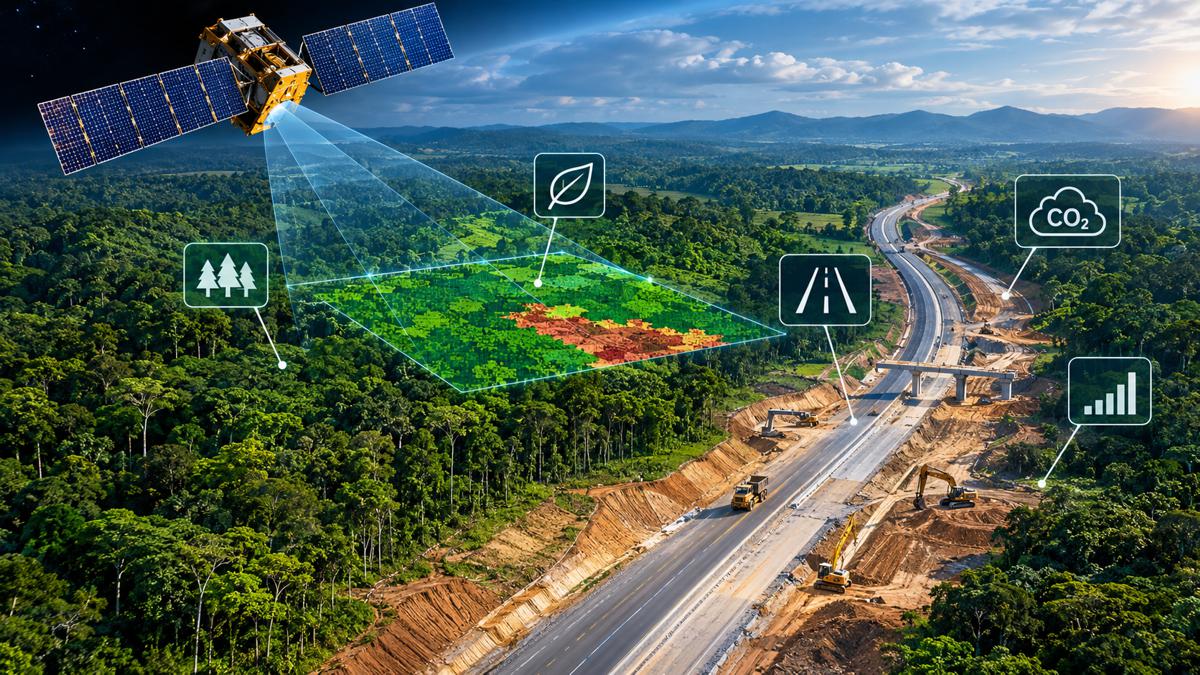
The agreement announced on 25 March 2026 between Space4Good and RINA introduces a direct connection with infrastructure engineering. RINA operates internationally across engineering consultancy, inspection, certification, energy, transport and industrial services, while Space4Good contributes satellite Earth observation and geospatial analysis. Their technical partnership is intended to support infrastructure performance verification, environmental assessment and the independent examination of sustainability-related claims.
Alexander Gunkel, founder of Space4Good, explained the rationale behind the collaboration: “RINA has deep experience in engineering and certification. We contribute satellite-based monitoring that can detect land-use change, track vegetation and support environmental verification across large areas. Combining these strengths allows for more robust and transparent assessments.”
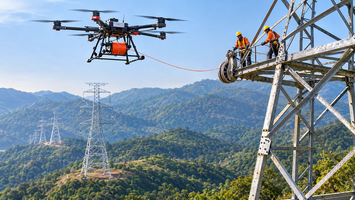
For infrastructure owners, satellite Earth observation offers the ability to maintain consistent records of changing conditions across large geographical areas. Potential applications include documenting vegetation clearance around transport corridors, monitoring land-use changes within development boundaries and assessing environmental conditions during construction and operation. Linear infrastructure such as highways, railways, transmission networks and pipelines presents an obvious area of interest, particularly where assets extend across considerable distances or traverse locations that are difficult to inspect frequently.
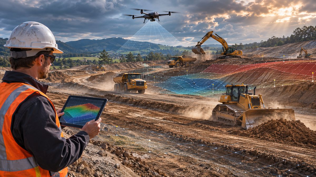
Engineering verification requires more than identifying differences between successive images. A change in surface appearance may warrant investigation without establishing whether an asset has suffered deterioration, whether construction activities have breached an environmental condition or whether a particular engineering standard has been met. The opportunity for the partnership is to combine satellite-derived evidence with site measurements, engineering records and specialist assessment, using remote observations to strengthen the information available to engineers and project owners.
The announcement identifies areas of intended collaboration rather than completed commercial deployments. Space4Good and RINA have not publicly established a portfolio of named infrastructure projects delivered through the agreement, and the effectiveness of the proposed applications will depend on the quality of the underlying observations and their integration with established verification procedures.
Bringing Carbon and Environmental Reporting Together
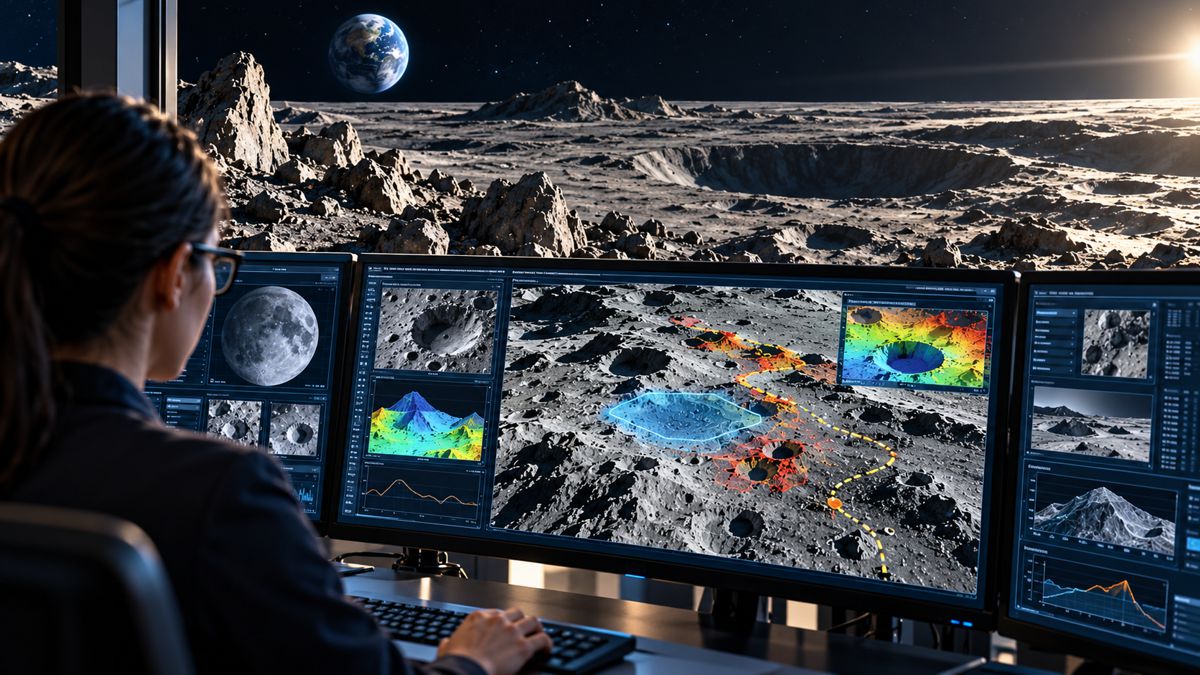
Alongside its move into infrastructure, Space4Good is developing a broader environmental reporting capability through gEOregula, a project supported by ESA’s Business Applications and Space Solutions programme. The system is being designed to generate carbon, deforestation and biodiversity indicators from geospatial datasets and present the results through reporting workflows adapted to regulatory and certification requirements.
According to ESA’s project information, updated on 23 October 2026, users will be able to submit a geographical area of interest together with available field information. The platform is intended to select appropriate analytical methods, process satellite observations and supporting datasets, and produce maps, indicators and reports. Its development draws on existing technical modules assessed at Technology Readiness Levels 6 to 8, with planned work covering prototype deployment, pilot demonstrations and engagement with regulatory bodies.
Seven prospective pilot users have been identified, including Meridia, MosaiX, Rabobank’s Acorn programme, reNature and Arsari Enviro Industri. A first pilot area has been confirmed in West Kalimantan, Indonesia, with MosaiX. The programme envisages at least four three-month pilot demonstrations and engagement with regulatory bodies to validate reporting outputs, although the published project status does not establish that the complete system is commercially operational or that its reports have already received regulatory approval.
The platform draws on technical capabilities developed through other Space4Good projects, including CarboCatch, an agroforestry carbon-monitoring application created in collaboration with the Louis Bolk Institute. CarboCatch combines satellite imagery, LiDAR and field measurements to estimate above-ground biomass and associated carbon storage. Its initial work concentrated on agroforestry sites in the Netherlands, where measurements of individual trees can be related to remotely sensed information to estimate biomass across larger areas.
In a technical explanation of its carbon monitoring approach, Space4Good describes using tree diameter, height and canopy measurements alongside multispectral satellite observations and LiDAR-derived information. Machine learning models are then applied to estimate biomass across monitored plots, reducing the need to measure every tree individually while retaining field observations for model calibration and verification.
Carbon accounting introduces requirements that extend beyond the physical measurement of vegetation. Estimating biomass and associated carbon stocks is only part of the process involved in verifying carbon credits, which can also require evidence of additionality, permanence and compliance with an accepted methodology. Combining remote sensing with field records and appropriate verification procedures provides a basis for more detailed environmental accounting, but does not remove those requirements.
The gEOregula approach is intended to bring several related measurements into a common workflow. Deforestation, biodiversity and carbon storage are frequently assessed through separate systems even when they rely on overlapping geographical data, creating duplicated processing and reporting activity. A common platform could simplify those operations, provided the individual measurement methods and resulting reports satisfy the requirements of the organisations and regulatory frameworks using them.
Regulation and the Demand for Traceable Evidence
Environmental monitoring is increasingly connected with commercial compliance, particularly for businesses involved in agricultural commodities, timber and other forest-related supply chains. The EU Deforestation Regulation introduces due-diligence obligations for specified commodities and derived products placed on the EU market or exported from it, requiring relevant operators to demonstrate that products meet applicable deforestation-free and legal-production requirements.
Following amendments to the regulation, the principal application date for large and medium-sized operators and traders is 30 December 2026. Most micro and small operators follow on 30 June 2027, although those already covered by the EU Timber Regulation are subject to the earlier date. Products newly brought into scope through the relevant delegated legislation have a separate application date of 30 December 2027.
The regulation covers specified products associated with cattle, cocoa, coffee, oil palm, rubber, soya and wood. Satellite observations can contribute evidence about historical land cover and subsequent changes within production areas, while geographical records and supporting documentation help connect that information to particular supply chains. Remote monitoring alone cannot establish full legal compliance or confirm every stage of a product’s origin, but it can form part of the evidence required by businesses and verification organisations.
For construction and infrastructure companies, the most immediate relevance concerns covered timber products, rubber-derived materials and other regulated goods entering procurement chains. The obligations depend on the precise product classification and the company’s role within the supply chain, rather than applying automatically to every construction material containing wood or rubber.
The commercial opportunity for geospatial providers extends beyond any single regulation. Infrastructure developers, landowners, financial institutions and environmental certification organisations all work with geographical records that may require repeated assessment over time. Systems capable of maintaining those records, identifying changes and producing supporting evidence can serve several purposes, although the reporting methods must be appropriate to each application.
Investment and the Move Towards Scalable Products
Space4Good’s commercial development has followed a progression familiar among specialist engineering and technology businesses. Its early activities centred on consultancy, research projects and bespoke geospatial services, building technical expertise and relationships across environmental protection, humanitarian work and land management. FORESTER represented a move towards a dedicated product that could be deployed across different organisations, while gEOregula and the RINA partnership extend that approach into additional markets.
In October 2025, the company announced an investment round led by Arches Capital, with participation from Empower Impact and Indigo Ventures. The funding was intended to support FORESTER’s expansion across tropical regions in Southeast Asia, Latin America and Africa, while accelerating the development of more scalable products from the company’s accumulated project experience. The amount raised was not publicly disclosed, and available financial information does not establish revenue, profitability or the proportion of income generated through recurring subscriptions.
The business operates in a competitive geospatial market, with companies such as Overstory, Satelligence and Chloris Geospatial developing specialised applications in vegetation management, deforestation compliance and carbon measurement. Some competitors have concentrated on particular customers or industries, including electricity utilities, agricultural supply chains and forest carbon markets. Space4Good’s portfolio is broader, covering conservation, biomass assessment, environmental monitoring and now infrastructure-related verification.
That breadth offers access to several potential markets, but also creates practical demands for a relatively small technology company. Customising analytical methods for different landscapes, maintaining field-validation processes and integrating outputs into customer systems require specialist resources, while a software-led business depends on delivering those capabilities consistently and economically across multiple deployments.
The company’s partnerships provide established channels into sectors where environmental assessment and geospatial evidence already form part of operational decision-making. Its ability to convert those relationships into repeatable commercial products, rather than continuing to depend heavily on individual consultancy projects, will determine how far the business can expand.
From Forest Monitoring to Infrastructure Assurance
Space4Good’s origins in environmental protection have given it practical experience in collecting satellite observations, investigating changes on the ground and turning the results into information that people can use. FORESTER demonstrated that approach in tropical forest management, while CarboCatch and gEOregula are extending the underlying methods into carbon assessment and environmental reporting.
The partnership with RINA takes the company into a different operating environment, where remote observations must be considered alongside engineering standards, site records and the requirements of infrastructure owners. The technologies involved are established, but their application to new types of infrastructure assessment still requires operational demonstration.
Space4Good has already shown that satellite monitoring can become part of a working field operation rather than remaining an exercise in image analysis. Its next challenge is to demonstrate that the same approach can be delivered consistently across infrastructure projects and environmental verification programmes, with the accuracy, documentation and commercial reliability expected by engineering clients.
Key Industry Questions
- What does Space4Good do? Space4Good is a Dutch geospatial analytics company developing satellite-based environmental monitoring, land-use assessment and reporting systems using Earth observation, GIS, artificial intelligence and field observations.
- How can satellite technology support infrastructure monitoring? Satellite imagery can provide repeated observations of vegetation, land cover and surrounding environmental conditions across extensive areas. These records can support infrastructure oversight and engineering investigations when combined with appropriate site measurements and technical assessments.
- What is the RINA and Space4Good partnership? Announced in March 2026, the partnership combines Space4Good’s Earth observation capabilities with RINA’s engineering, inspection and certification expertise. Its proposed applications include infrastructure performance verification and environmental assessment.
- What is FORESTER? FORESTER is Space4Good’s forest monitoring platform, using satellite observations and predictive models to detect potential deforestation and identify areas at risk. Field teams can investigate alerts and return observations to support validation.
- Can satellites monitor forests through cloud cover? Radar satellites such as Sentinel-1 can collect observations through cloud cover, making them useful in tropical environments. Optical satellites provide complementary information, although detection performance depends on sensor capabilities, environmental conditions and analytical methods.
- What is ESA’s gEOregula project? gEOregula is an ESA-supported project developing an integrated geospatial platform for carbon, deforestation and biodiversity assessment, with reporting workflows tailored to environmental regulations and certification schemes.
- Can satellite measurements verify carbon credits? Satellite observations can help estimate biomass and monitor carbon stocks, but carbon-credit verification also requires suitable accounting methodologies, field evidence and assessment of factors including additionality and permanence.
- How does the EU Deforestation Regulation affect construction supply chains? Certain timber, rubber and other derived products used in construction may be covered by the regulation. Relevant obligations depend on product classification, market activity and the operator’s role within the supply chain.
Strategic Takeaways
- Combining satellite observations with engineering assessment offers infrastructure owners additional ways to document environmental conditions and investigate changes across geographically dispersed assets.
- Space4Good’s field-validation experience provides a technical and operational foundation for new applications, although the RINA partnership has yet to establish a publicly documented portfolio of infrastructure deployments.
- Integrating carbon, biodiversity and deforestation assessment within common geospatial workflows may reduce duplicated data processing and improve consistency in environmental reporting.
- Regulatory requirements are increasing demand for traceable geographical evidence, particularly within supply chains involving covered timber, rubber and agricultural commodities.
- Space4Good’s transition towards scalable products will depend on repeatable deployment performance, customer adoption and its ability to maintain specialist verification capabilities across different markets.