Geo Week 2027 Moving to Salt Lake City to Accelerate Geospatial Innovation
Geo Week’s decision to relocate its 2027 event from Denver to Salt Lake City marks more than a change of scenery. It signals a deliberate alignment with one of North America’s fastest-evolving geospatial ecosystems. Scheduled to take place from 23 to 25 February 2027 at the Salt Palace Convention Center, the move positions the event at the heart of a region where geospatial data, infrastructure planning and digital mapping technologies are increasingly shaping economic growth.
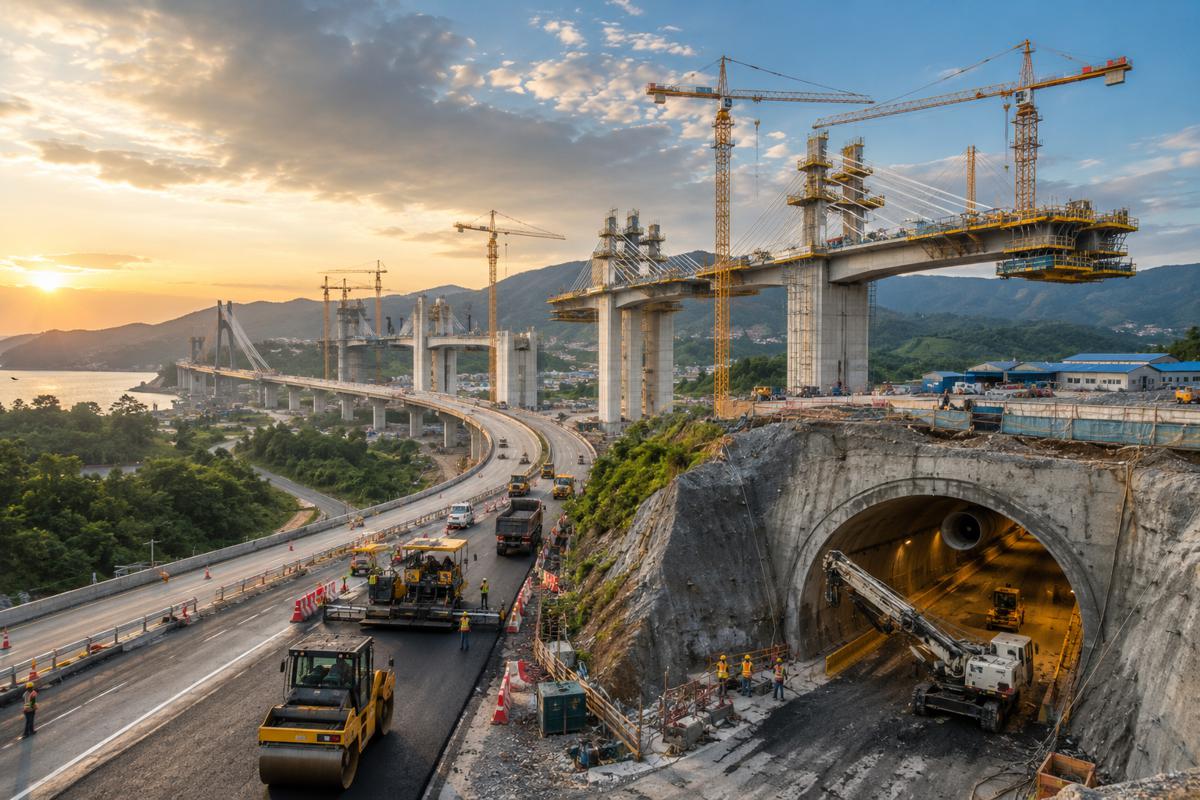
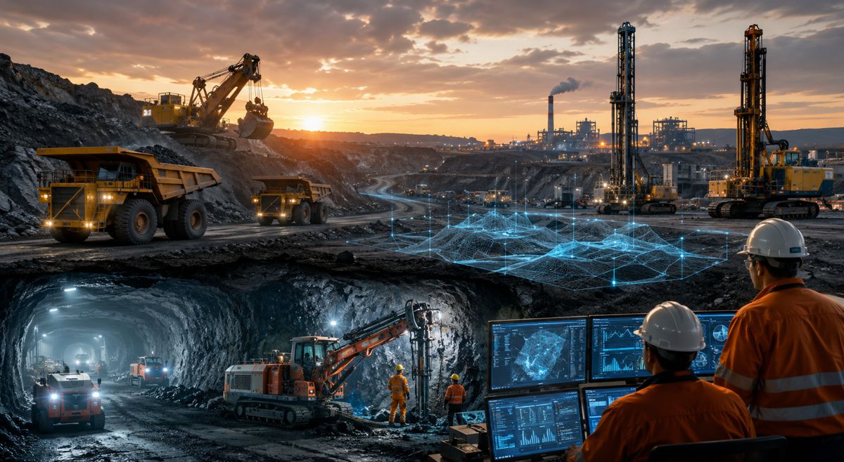
At a time when infrastructure delivery is becoming more data-driven, the geospatial sector has quietly become one of the most critical enablers of modern construction, transport and asset management. From digital twins and building information modelling to satellite-based monitoring and lidar mapping, geospatial technologies now underpin decision-making across the entire infrastructure lifecycle. Geo Week’s relocation reflects this shift, placing the event within a city that embodies these capabilities in real-world applications.
Why Salt Lake City Has Emerged as a Geospatial Powerhouse
Salt Lake City has, over the past decade, transformed itself into a serious contender within the United States technology landscape. Often associated with the broader “Silicon Slopes” region, the city has experienced sustained economic expansion driven largely by its technology sector. With tech contributing a significant share of regional employment and economic output, the foundations are in place for sustained innovation across adjacent sectors, including geospatial intelligence.
What sets Salt Lake City apart, however, is not just its economic growth but its deeply embedded geospatial infrastructure. Local government agencies manage sophisticated geographic information systems that support everything from water distribution and stormwater management to transport networks and land use planning. These systems are not theoretical. They are operational, constantly evolving, and provide a living laboratory for geospatial innovation.
Equally important is Utah’s commitment to open data. Public access to extensive spatial datasets has created a fertile environment for collaboration between public authorities, private companies and academic institutions. This openness accelerates innovation, allowing developers, engineers and planners to build new tools, test solutions and refine methodologies using real-world data rather than abstract models.
Real World Applications Driving Infrastructure Efficiency
The relocation also highlights a broader truth about the geospatial sector. Its value lies not in the technology itself, but in how it is applied. Salt Lake City offers a compelling demonstration of how geospatial systems can enhance infrastructure performance, resilience and sustainability.
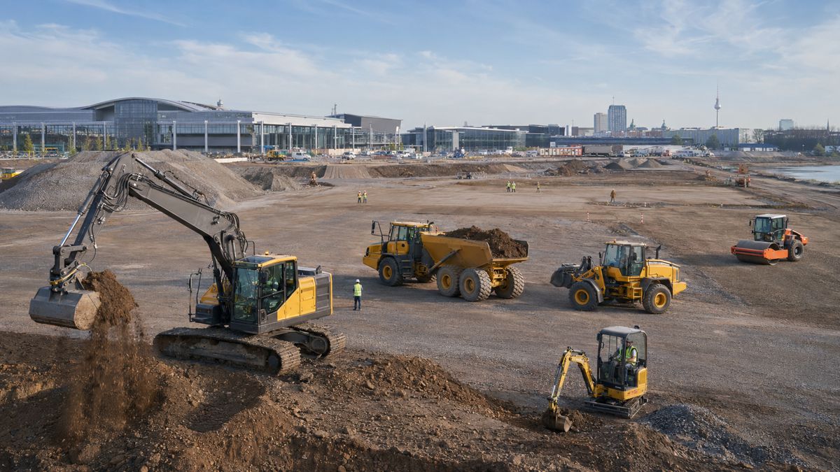
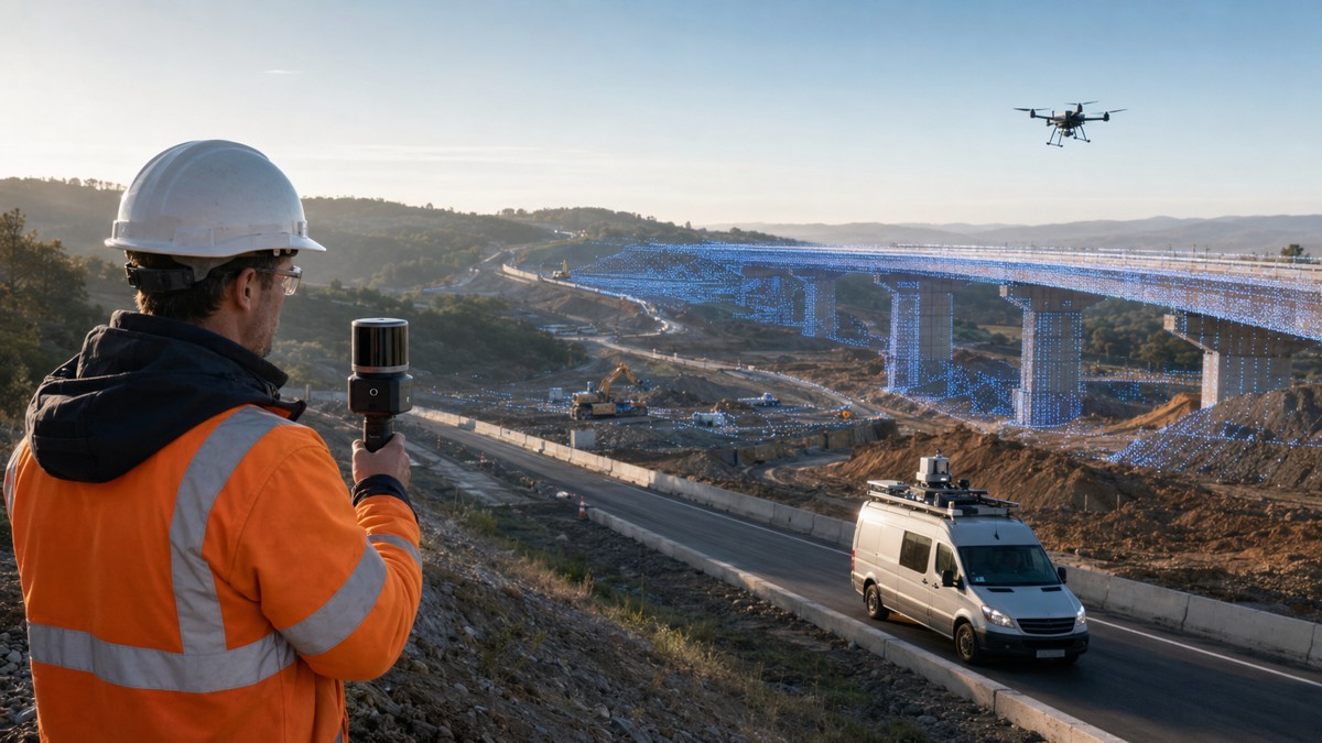
Across the region, GIS platforms are used to optimise utility networks, improve traffic management and support environmental monitoring. Lidar acquisition programmes provide high-resolution terrain data that feeds directly into infrastructure planning and hazard mitigation. In an era where climate resilience is becoming a defining challenge, these capabilities are no longer optional. They are essential.
Globally, the integration of geospatial data into infrastructure planning has been shown to reduce project risk, improve asset longevity and enable more efficient allocation of capital. According to industry research from organisations such as the World Bank and the United Nations, geospatial data plays a central role in achieving sustainable development goals, particularly in urban planning, disaster resilience and resource management. Geo Week’s move to a city actively deploying these tools reinforces the event’s relevance to the wider infrastructure ecosystem.
Workforce Development and the Talent Pipeline Challenge
Behind every technological advance lies a workforce capable of delivering it. One of the less obvious, yet highly significant, reasons for Geo Week’s relocation is Utah’s strong pipeline of geospatial talent. The region’s universities and research institutions have invested heavily in geospatial education, producing graduates skilled in GIS, remote sensing, spatial analytics and data science.
Salt Lake City also boasts one of the highest concentrations of young professionals in North America. This demographic advantage is complemented by consistent growth in college-educated residents, creating a workforce that is both technically capable and adaptable. For an industry facing global skills shortages, this is no small advantage.
The presence of university-affiliated research laboratories further strengthens the ecosystem. These facilities support applied research in areas such as spatial modelling, environmental monitoring and infrastructure analytics. By working closely with industry partners and government agencies, they ensure that academic research remains aligned with real-world needs.
For Geo Week, this creates an environment where networking and knowledge exchange can thrive. Attendees are not simply engaging with technology vendors or policy discussions. They are connecting with a live talent pipeline that will shape the future of the geospatial and infrastructure sectors.
Bridging Geospatial Technology and Infrastructure Delivery
One of the defining trends in modern construction and infrastructure is the convergence of geospatial technology with digital engineering disciplines. Building Information Modelling, digital twins and asset management platforms increasingly rely on accurate spatial data to function effectively.
Geo Week has long positioned itself at this intersection, bringing together professionals from surveying, mapping, construction and engineering. By relocating to Salt Lake City, the event strengthens this connection, placing itself within a region where these disciplines are already integrated into everyday practice.
This integration is particularly relevant as infrastructure projects become more complex and capital-intensive. Accurate geospatial data allows project teams to identify risks earlier, optimise designs and monitor performance throughout the asset lifecycle. In turn, this reduces costs, improves safety and enhances long-term asset value.
For investors and policymakers, the implications are clear. Geospatial capabilities are no longer a niche technical function. They are a strategic asset that influences project viability, regulatory compliance and long-term returns. Events such as Geo Week provide a platform for understanding these dynamics and exploring how emerging technologies can be deployed at scale.
A Location Defined by Environmental Complexity
Salt Lake City’s geographical setting adds another layer of relevance to the event. Situated between alpine mountain ranges, desert landscapes and the Great Salt Lake, the region presents a unique set of environmental challenges and opportunities. These conditions require advanced geospatial solutions to manage water resources, monitor environmental change and plan resilient infrastructure.
This diversity of terrain makes the city an ideal showcase for geospatial applications. From flood modelling and drought management to transport planning across varied landscapes, the region demonstrates how spatial data can be used to address complex, real-world problems.
In a global context, where infrastructure must adapt to increasingly volatile environmental conditions, these lessons are highly transferable. The ability to model, monitor and respond to environmental change using geospatial tools is becoming a core competency for infrastructure providers worldwide.
Industry Collaboration at the Core of Geo Week
Geo Week’s continued mission remains unchanged despite the relocation. The event brings together professionals from across the geospatial, mapping and built environment sectors to explore how data-driven insights can solve complex challenges. Its conference programme and exhibition floor provide a mix of technical expertise, case studies and practical demonstrations.
What sets Geo Week apart is its emphasis on collaboration. The event is not confined to a single discipline. Instead, it encourages interaction between surveyors, engineers, policymakers, software developers and data scientists. This multidisciplinary approach reflects the reality of modern infrastructure projects, where success depends on seamless integration across multiple domains.
The event is produced as part of a broader portfolio that includes unmanned aerial systems, digital construction and geospatial business platforms. This ecosystem of events reinforces the interconnected nature of the technologies shaping the future of infrastructure.
A Timely Move for a Rapidly Evolving Sector
The decision to relocate Geo Week to Salt Lake City comes at a time when the geospatial sector is undergoing rapid transformation. Advances in satellite technology, cloud computing and artificial intelligence are expanding the scope and scale of what can be achieved with spatial data.
At the same time, infrastructure demands are increasing. Urbanisation, climate change and economic development are placing unprecedented pressure on transport networks, utilities and public assets. Meeting these challenges requires more than traditional engineering approaches. It demands a data-driven, integrated strategy where geospatial intelligence plays a central role.
By positioning itself within a city that exemplifies these trends, Geo Week is not just following the industry. It is helping to shape its direction. The move underscores the growing importance of geospatial technology as a cornerstone of modern infrastructure development.
Looking Ahead to 2027 and Beyond
As the countdown to February 2027 begins, the relocation sets the stage for a new chapter in Geo Week’s evolution. Salt Lake City offers a dynamic environment where technology, talent and real-world application converge. For attendees, this promises a richer, more relevant experience that goes beyond theory and into practice.
For the wider industry, the move serves as a reminder of how quickly the landscape is changing. Geospatial technology is no longer operating in the background. It is at the forefront of infrastructure innovation, influencing how projects are planned, delivered and managed.
Geo Week’s arrival in Utah reflects this reality. It places the event where the action is, in a city that is actively shaping the future of geospatial science and its role in the built environment.