AI Drone Surveys Take on the Plastic Mines Metal Detectors Cannot Find
Every major reconstruction programme in a formerly contested landscape shares an unglamorous precondition. Before roads can be relaid, housing rebuilt or energy infrastructure restored, the ground itself has to be certified safe, and that certification depends on finding buried explosive devices that were engineered specifically to be missed.
A research team at Binghamton University has now published a peer-reviewed method that addresses one of the most stubborn corners of that problem: the detection of small, plastic-cased, scatterable landmines that defeat the metal detectors and geophysical tools on which conventional survey has long relied. The work matters to the construction and infrastructure sector because land release, the formal process of declaring an area cleared, sits directly on the critical path of recovery. Where survey is slow, unreliable or dangerous, the entire rebuild slows with it.
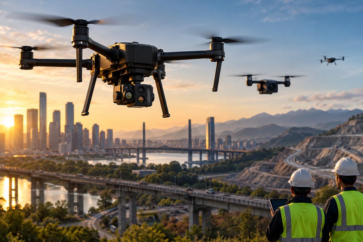
The significance of the announcement lies less in the novelty of using artificial intelligence and more in where and how it is designed to run. The team pairs low-altitude drone imagery with an object-detection algorithm capable of operating offline on consumer-grade hardware, a design decision aimed squarely at the field conditions of post-conflict regions rather than the comfort of a laboratory.
For infrastructure owners, contractors and the investors financing reconstruction, that combination points towards faster first-pass surveying of suspected hazardous areas, lower operational risk for the people conducting it, and a detection layer that connects to an established ecosystem of armoured clearance machinery already built on tractor and excavator platforms.
Briefing
- A Binghamton University team has published a peer-reviewed method using deep learning and low-altitude drone imagery to detect scatterable PFM-1 plastic landmines, a class of device that routinely defeats conventional metal detectors and geophysical survey.
- The system is designed to process data offline on lightweight, consumer-grade hardware, an important choice for contaminated zones where connectivity is poor and signal-jamming is common.
- Land release is a hard precondition for rebuilding; Ukraine’s latest joint recovery assessment values explosives hazard management and debris clearance at almost US$28 billion within a reconstruction bill approaching US$588 billion.
- The detection breakthrough connects to a mature machinery ecosystem of armoured, tractor- and excavator-based demining platforms with replaceable bolt-on tooling that keep operators protected during mechanical clearance.
- Investment in drone-and-AI demining is accelerating, positioning humanitarian mine action as a scaling deep-technology market with direct consequences for infrastructure delivery timelines.
Why Contaminated Land Sits on the Critical Path of Reconstruction
The commercial logic of recovery is unforgiving on this point: capital cannot be deployed into ground that has not been cleared. Ukraine offers the starkest current illustration of the scale involved. The joint Rapid Damage and Needs Assessment produced by the Government of Ukraine with the World Bank, the European Commission and the United Nations put the total cost of reconstruction and recovery at almost US$588 billion over the next decade in its early-2026 update, with the transport sector alone accounting for more than US$96 billion of long-term need.
Within that figure, explosives hazard management and debris clearance were valued at close to US$28 billion, a line item that would be a significant national infrastructure programme in its own right almost anywhere else. Ukraine is now widely described by mine action specialists as holding the world’s largest concentration of minefields, which places the survey-and-clearance function at the very front of the rebuild sequence.
The problem is not confined to a single theatre. The most recent Landmine Monitor recorded 6,279 casualties from mines and explosive remnants of war during 2024, the highest annual total in four years, with civilians making up roughly nine in ten of those harmed and children a substantial share. At least 57 states and territories remain contaminated, and the Monitor lists seven as massively affected, among them Afghanistan, Bosnia and Herzegovina, Cambodia, Ethiopia, Iraq, Türkiye and Ukraine.
For construction and infrastructure firms weighing entry into recovery markets, contamination is therefore not an abstract humanitarian concern but a direct determinant of programme risk, insurance cost, sequencing and schedule. Faster and more reliable survey compresses the interval between a ceasefire and the first turned earth, and that interval is where much of the economic value of early recovery is either captured or lost.
The Detection Gap That Plastic Mines Created
Modern anti-personnel mines have been deliberately engineered to evade the very tools that decades of demining practice were built around. Many are small, cased in plastic and contain little or no metal, which renders standard metal detectors close to useless and blunts geophysical techniques such as ground-penetrating radar, magnetometry and electromagnetic induction that perform far better against metallic targets. The category of particular concern is the scatterable mine, designed to be dispersed across wide areas rather than laid in mapped patterns.
The Soviet-era PFM-1, known as the butterfly mine for the shape that lets it flutter to the ground when dropped from the air, embodies a design philosophy that Binghamton’s Associate Professor of Earth Sciences Alex Nikulin describes without euphemism. “It’s harder to take care of a wounded soldier than a dead one. They’re meant to hurt, not kill,” he explained. “They’re specifically designed with that purpose in mind, and their entire construction is meant to evade detection.”
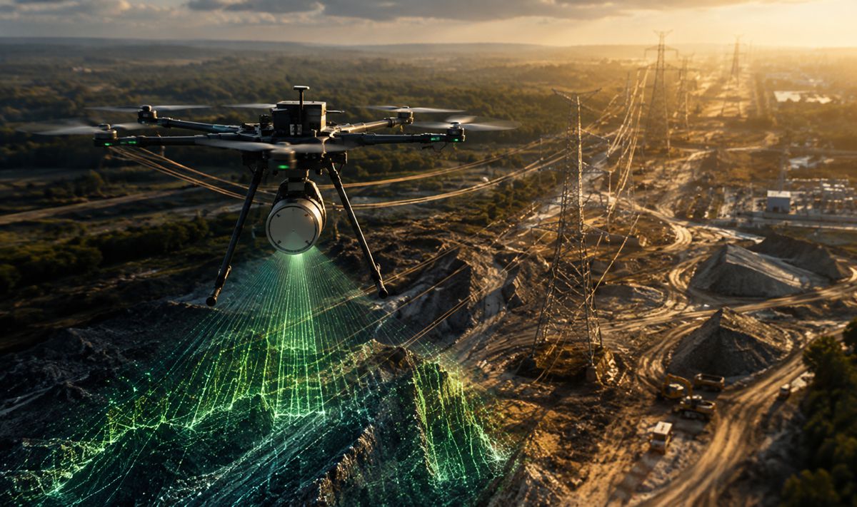
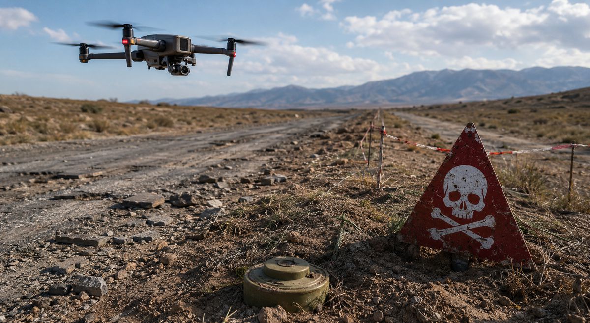
The Binghamton method attacks that evasion at the survey stage. Led by geology alumna Sharifa Karwandyar alongside Associate Professor of Geography Thomas Pingel and Nikulin, the study appeared in the journal Geomatics under the title “Deep Learning and Multiview-Based Detection of Scatterable PFM-1 Landmines: Performance, Out-of-Sample Evaluation, and Field Readiness.” The approach uses a drone-mounted camera to capture imagery that is stitched together and passed through You Only Look Once, or YOLO, an object-detection algorithm trained to recognise the mine against varied natural backgrounds.
Because a plastic mine is roughly the size of a mobile phone, the drone has to fly low, at around 10 to 20 metres, so the sensor can resolve enough detail to matter. Karwandyar is precise about what the output represents and where it fits. “This is a first-pass analysis to determine whether a locality is potentially a suspected hazardous area,” she said. “That falls in line with the standardized process for landmine detection.” In other words, the tool is built to triage terrain and prioritise effort, not to replace the confirmation and disposal work that follows.
Training was grounded in physical reality rather than synthetic data alone. The researchers built a dataset using inert PFM-1 mines and 3-D printed replicas placed across Binghamton’s Nature Preserve in different environments, angles and lighting conditions, then trained two separate models to probe how a deployable system would behave.
“We trained two different YOLO models to understand how we can make something like this field-ready,” Karwandyar said. “One model was trained only on the PFM-1 landmines, and the other was used to identify the PFM-1 and additional random objects using a standard data set.” The second, noisier model returned lower performance scores, which she notes most likely mirror real-world conditions, where a camera also has to contend with leaves, debris and the ordinary clutter of a landscape. That candour about performance is itself a marker of field-oriented engineering, since a survey tool that flatters itself in testing is worse than useless to the crews who depend on it.
Field-Readiness, Offline Processing and the Connectivity Problem
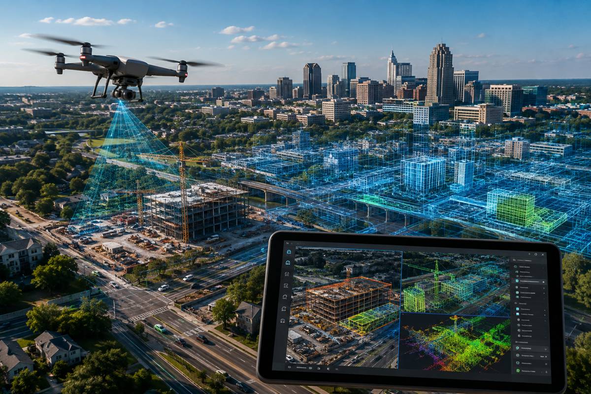
The heaviest computational lifting in the Binghamton approach happens during training, a phase that can run from several hours to a day depending on the volume of imagery, according to Pingel. Deployment is deliberately austere by comparison, requiring only a lightweight consumer-grade laptop, a drone and a camera. That asymmetry is the point, because it moves the analysis to where the problem is.
“Sharifa’s work has emphasized processing data in either real time or near real time, so that you can tackle these things in the field,” Pingel said. “There’s no need to collect data and then bring it back somewhere to process and examine it.” For anyone who has managed operations in a degraded environment, the operational value of removing the round trip to a distant processing centre is immediately obvious.
The offline design also answers a hard constraint that laboratory tools frequently ignore. Both active and post-conflict regions tend to suffer from unreliable internet connectivity, whether because the infrastructure has been destroyed or because active jamming of signals and satellite navigation is a feature of the environment, as seen across Ukraine.
A survey system that assumes a live connection is a system that fails at the moment it is most needed, so a method that runs entirely on local hardware is not a convenience but a requirement. The team is also clear that technology sits alongside people rather than above them, relying on trained deminers and on community members with deep knowledge of the terrain, with the algorithm serving to streamline and de-risk the search.
Nikulin frames the value of that grounding in practical collaboration. “With landmine detection and humanitarian work in general, a lot of times there’s a disconnect between what folks work on in the lab and the realities of the field,” he said. “By communication with the (non-governmental organizations), we’re able to bridge that, and we know this will work in the context of the field.”
From Detection to Clearance
Detection is only the opening move, and this is where the story runs directly into the construction equipment sector. Once a suspected hazardous area is identified, mechanical clearance is often carried out by armoured machines that will be instantly familiar to anyone who works with heavy plant, because many of them are built on exactly that heritage.
The British manufacturer Armtrac, for instance, produces demining platforms constructed around the JCB Fastrac tractor, armoured to the STANAG 4569 protection standard and fitted with flails or tillers that beat or churn the ground to detonate or shatter buried devices. These machines are engineered around replaceable, bolt-on toolkits, so that front-mounted tooling designed to absorb blast damage can be swapped out and the platform returned to work, while operators either sit inside a hardened cabin or control the vehicle remotely from a safe distance. The principle of a sacrificial, quickly replaceable working section that keeps the operator protected is a long-standing feature of this equipment class, and it is precisely the kind of ruggedised, attachment-driven design philosophy that the wider construction machinery industry already understands.
The relevance for infrastructure delivery becomes sharper when the timeline is extended into the maintenance decades that follow reconstruction. Roads laid across former conflict zones can end up sealing legacy ordnance beneath successive layers of pavement, and the risk resurfaces at the point of full rehabilitation, when deep milling strips the old carriageway back to formation and can expose whatever was left in the ground.
Historically, crews in heavily affected countries have swept road alignments with metal detectors ahead of that kind of work, a mitigation that depends entirely on the ordnance being metallic. As plastic-cased and scatterable mines proliferate, that traditional sweep becomes progressively less dependable, which is exactly the gap the Binghamton approach is designed to close. A drone-and-AI first pass over a corridor before milling begins offers a credible way to keep road rehabilitation crews out of harm’s way where conventional detection would quietly miss the threat, and it slots the new detection capability into a workflow that road authorities and contractors already run.
The Investment and Technology-Adoption Picture
Humanitarian demining has, until recently, been a slow adopter of new technology for understandable reasons, since any error in an unfamiliar tool can be fatal. Over the past few years, however, drones have reached an inflection point in the sector, and the surrounding investment activity has followed. The HALO Trust, the largest organisation dedicated to clearing explosives left by war, logged more than 85,800 drone flight minutes in 2024 and identified over 11,000 hazards, and secured a multi-million-dollar package from a major cloud provider to pilot artificial intelligence and machine learning in its Ukraine operations.
Venture-backed entrants have moved into the same space, with specialist firms raising capital specifically to scale AI-powered detection, while national initiatives such as Ukraine’s government-supported hackathons have begun turning tens of thousands of annotated field images into deployable detection models. The underlying drone market is expanding quickly, valued by one research house at around US$73 billion in 2024 and projected to more than double by the end of the decade at a double-digit compound growth rate.
For investors and technology strategists, the Binghamton work is a useful signal about where durable value is likely to accrue. The differentiator is not the algorithm in isolation, since object-detection models are increasingly commoditised, but the discipline of engineering for the field: offline edge processing, low-cost hardware, honest performance benchmarking against real environmental noise, and integration with the human and mechanical clearance chain that already exists. Those are the attributes that determine whether a promising demonstration becomes a tool that survey teams actually trust and deploy at scale.
As reconstruction budgets in contaminated regions run into the hundreds of billions, the mine action layer that gates access to that spending is quietly becoming an infrastructure-adjacent market in its own right, one where construction machinery manufacturers, sensor developers and AI specialists all have a plausible role to play.
What This Means for the Rebuild Ahead
The through-line connecting a university nature preserve in New York State to a reconstruction site in a former warzone is a simple one about sequencing. Recovery is bounded by the pace at which land can be surveyed and released, and for the growing category of mines built to evade detection, that pace has been held back by the limits of the tools available.
A method that can flag suspected hazardous areas from a drone, process the result offline on a laptop and hand a prioritised map to trained clearance teams shortens the interval between danger and delivery, and it does so in a way that respects rather than replaces the expertise on the ground. For a construction and infrastructure audience, the practical takeaway is that detection technology and clearance machinery are converging on the same problem from two directions, and the sector that builds tractors, excavators and attachments is already closer to this work than it might assume.
The wider prize is measured in schedules, safety and the confidence to commit capital. Every improvement in first-pass survey compresses the timeline to the first safe worksite, lowers the risk carried by the people who go in first, and strengthens the business case for private investment in recovery.
The organisations advancing this work, from the researchers refining the models to the manufacturers hardening the machines and the operators clearing the ground, are collectively lowering one of the highest barriers to rebuilding after conflict. That is a genuinely constructive direction of travel for an industry whose core purpose is to make places safe, functional and worth investing in again.
Key Industry Questions
- How does AI-based drone detection differ from the metal detectors used in traditional demining? Metal detectors respond to the metallic content of a device, which makes them effective against older mines but far weaker against modern plastic-cased types that contain little or no metal. The Binghamton method instead uses a drone-mounted camera flying at low altitude, typically 10 to 20 metres, to capture imagery that an object-detection algorithm analyses for the visual signature of the mine. It is a first-pass survey tool designed to identify suspected hazardous areas and prioritise where deeper investigation and clearance should focus. It does not disarm anything, and it complements rather than replaces confirmation work by trained deminers and mechanical clearance equipment further along the process.
- Why does contaminated land matter so directly to construction and infrastructure programmes? Land release, the formal declaration that an area is safe, is a hard precondition for almost any reconstruction activity. Capital cannot be committed, machinery cannot be mobilised and workers cannot be deployed onto ground that has not been surveyed and cleared. In Ukraine’s latest joint recovery assessment, explosives hazard management and debris clearance were valued at almost US$28 billion, sitting within a total reconstruction need approaching US$588 billion. For contractors and infrastructure owners, contamination therefore shapes programme risk, insurance, sequencing and schedule, and any technology that speeds reliable survey directly shortens the path from post-conflict conditions to active construction.
- What role does existing construction machinery play in mine clearance? A substantial share of mechanical demining is carried out by armoured machines built on familiar heavy-plant heritage, including platforms constructed around agricultural tractors and excavators. Manufacturers such as Armtrac base equipment on the JCB Fastrac, armour it to recognised military protection standards and fit flail or tiller attachments that detonate or destroy buried devices. These machines use replaceable, bolt-on tooling so that front sections designed to take blast damage can be swapped and the platform returned to service, while operators work from hardened cabins or by remote control. The attachment-driven, ruggedised design philosophy is one the construction equipment industry already knows well.
- Why is offline processing such an important feature of this technology? Contaminated regions frequently have degraded or destroyed communications infrastructure, and active conflict zones often experience deliberate jamming of signals and satellite navigation. A detection system that depends on a live internet connection or cloud processing risks failing precisely where it is most needed. The Binghamton approach performs its heavy computation during a training phase carried out in advance, then runs analysis in the field on a lightweight consumer-grade laptop with no connection required. This lets survey teams process imagery in real or near real time on site, avoiding the delay and risk of collecting data and transporting it elsewhere for examination.
- Does this technology reduce the need for skilled human deminers? No, and the researchers are explicit that it is designed to support them. Effective mine action relies on trained demining professionals and on community members who understand the local terrain, and the algorithm functions as a triage and prioritisation aid that makes their search faster and safer. The stated aim is to streamline the identification of suspected hazardous areas so that expert effort is directed where it is most needed, with confirmation and disposal remaining human-led and machine-assisted. The technology’s value comes from bridging the common gap between laboratory research and field reality, a point the team credits to close collaboration with non-governmental organisations.
- What does the plastic-mine problem mean for road rehabilitation over the longer term? Roads built across former conflict zones can seal legacy ordnance beneath successive pavement layers, and the hazard can reappear during full rehabilitation, when deep milling strips the carriageway back to formation. Traditional mitigation has relied on sweeping alignments with metal detectors before such work, which only functions if the ordnance is metallic. As plastic-cased and scatterable mines become more prevalent, that safeguard weakens, creating a future maintenance risk for road authorities and contractors. A drone-and-AI survey of a corridor before milling offers a credible way to identify threats that metal detection would miss, fitting a new detection capability into workflows that road authorities already operate.
- How large is the investment opportunity around drone and AI demining? Activity is accelerating on several fronts. Major clearance organisations are logging tens of thousands of drone flight minutes annually and partnering with cloud providers to pilot machine learning, venture-backed specialists are raising capital to scale detection systems, and national governments are funding initiatives that convert field imagery into deployable models. The broader drone market was valued at roughly US$73 billion in 2024 and is projected to more than double by 2030 at a double-digit growth rate. The durable value is likely to sit with solutions engineered for field conditions, offline processing, honest benchmarking and integration with existing clearance machinery, rather than with detection algorithms alone.
- Which regions are most affected, and where is this capability likely to be deployed first? At least 57 states and territories remain contaminated, with seven classed as massively affected, including Afghanistan, Bosnia and Herzegovina, Cambodia, Ethiopia, Iraq, Türkiye and Ukraine. Ukraine is currently regarded as holding the world’s largest concentration of minefields, and its scale of reconstruction need makes it the most immediate proving ground for drone-and-AI survey at volume. Long-contaminated countries in South East Asia, the Balkans and parts of Africa also represent significant potential deployment areas, particularly where legacy ordnance intersects with planned infrastructure and road rehabilitation. Adoption will tend to follow where contamination overlaps with active recovery funding and where operators are already integrating drones into standard procedures.
Strategic Takeaways
- Land release is the true starting gun for reconstruction, so any technology that accelerates reliable survey shortens the timeline to active construction and strengthens the case for committing recovery capital.
- The commercial value in demining technology is shifting towards field-engineered systems, meaning offline edge processing, low-cost hardware and honest performance benchmarking, rather than detection algorithms considered in isolation.
- Construction machinery manufacturers are closer to the mine action market than they may realise, since armoured clearance platforms already draw on tractor and excavator heritage with replaceable, blast-tolerant tooling.
- The rise of plastic-cased and scatterable mines creates a long-tail maintenance risk for road rehabilitation, where deep milling can expose ordnance that traditional metal-detector sweeps are increasingly likely to miss.
- With reconstruction needs in contaminated regions running into the hundreds of billions, humanitarian mine action is emerging as an infrastructure-adjacent market that links sensor developers, AI specialists and heavy-equipment makers around a shared problem.