Geo Connect Asia Takes Geospatial Engagement Across ASEAN Ahead of Singapore 2027
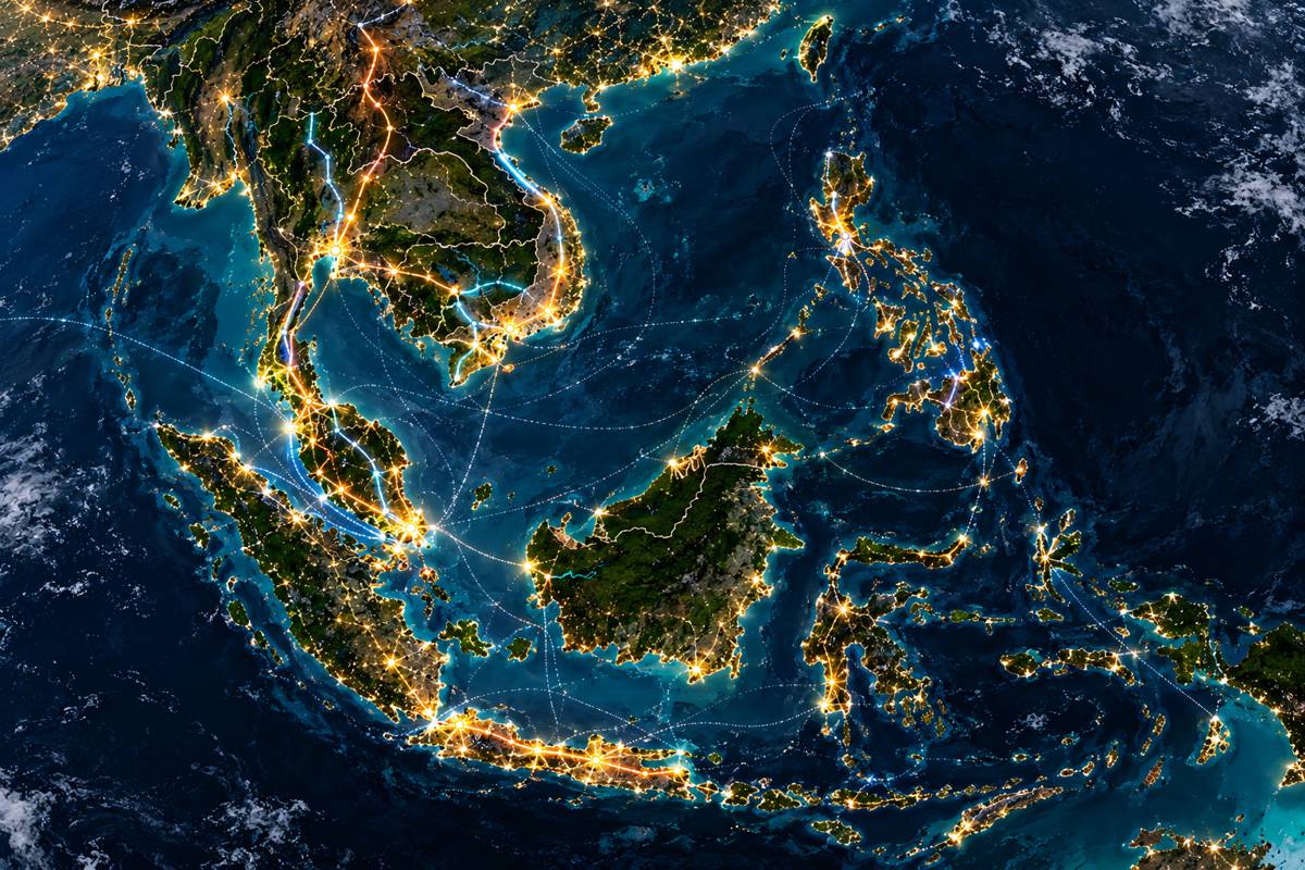
Geo Connect Asia is extending its reach beyond Singapore with a programme of regional events intended to bring technology providers into direct contact with government agencies, infrastructure organisations and geospatial decision-makers across Southeast Asia.
The first will take place in Bangkok on 22 October 2026 under the title Advancing Thailand’s Mapping and Digital Twins, bringing together organisations working across mapping, national security, land administration, utilities, aviation and geospatial technology.
The approach takes an established regional exhibition into the individual markets it serves. Rather than relying entirely on delegates travelling to Singapore each year, the organisers are beginning to build relationships within ASEAN countries, where priorities around mapping, digital twins, infrastructure data and national geospatial capability can differ considerably.
Thailand provides a substantial starting point. Invited organisations include the Royal Thai Survey Department, Royal Thai Navy, Department of Lands, Electricity Generating Authority of Thailand, Civil Aviation Authority of Thailand and representatives of the country’s mapping and surveying community. The programme combines conference discussions with one-to-one meetings between technology providers and prospective users.
Briefing
- Geo Connect Asia is launching a regional outreach programme ahead of its seventh edition in Singapore in March 2027.
- The first event, Advancing Thailand’s Mapping and Digital Twins, takes place in Bangkok on 22 October 2026.
- Government, defence, land, aviation, utilities and geospatial organisations are among those invited.
- Geo Connect Asia 2027 is scheduled for 17–18 March at the Sands Expo & Convention Centre in Singapore.
- More than 3,000 attendees are expected in Singapore, with 35% anticipated to come from the wider Asia-Pacific region.
Building Relationships Before Singapore
Specialist technology exhibitions face a particular challenge in Southeast Asia. Geospatial technology now reaches deeply into government administration, infrastructure management, construction, defence, utilities, transport and environmental monitoring, but purchasing priorities and institutional structures remain highly local.
A national mapping agency has different requirements from an electricity utility, while defence organisations, aviation regulators and land authorities operate under their own technical, security and procurement constraints. Digital twins introduce another layer as they move beyond individual buildings and projects into cities, transport networks and infrastructure systems.
Geo Connect Asia Co-founder Rupert Owen said the regional programme would allow the organisers and participating companies to understand those differences more closely: “The regional outreach programme presents the opportunity to both promote the vital role geospatial-based solutions play in decision-making, but also understand the priorities and needs of each ASEAN member country. The staging of such activities brings together solutions providers with leading decision-makers both in a stage setting, but also one-on-one meetings. This launch event will be the first of many to come.”
Sponsors supporting the Bangkok event include Carlson Software, EarthDaily, I-Bitz, SimActive, Tema Digital, Theo’s Enterprise and XRTC.
The matchmaking element fits the way geospatial systems are increasingly deployed. Satellite imagery, positioning, LiDAR, photogrammetry, underground mapping and digital twins rarely operate as isolated technologies. They feed information into asset management, planning, construction, utilities and government systems, making questions of accuracy, interoperability and data provenance increasingly important.
Geospatial Data and Infrastructure
That broader role is visible in the scope of Geo Connect Asia 2027. The current programme spans information gathered from underground infrastructure through land and maritime environments to satellites and autonomous aerial systems, with national security and infrastructure resilience sitting alongside established geospatial disciplines.
Data security, artificial intelligence, autonomy and robotics are also part of the conference agenda. Specialist areas include GNSS, national and high-definition mapping, utilities, digital underground infrastructure, GEOINT, coastal mapping, AEC and indoor mapping.
For construction and infrastructure, the overlap is particularly clear underground. Congested subsurface environments leave authorities and contractors dependent on records that may be incomplete, fragmented or decades old. Detection, surveying and modelling technologies are gradually allowing underground information to become part of wider digital asset records rather than remaining buried in separate drawings and databases.
Digital Construction Asia extends that relationship into the built environment, bringing surveying, reality capture, BIM and digital twins closer together. Spatial information increasingly follows an asset from survey and design through construction and into operation, rather than disappearing between successive project stages.
An ASEAN Geospatial Network
Singapore remains the centre of Geo Connect Asia, but Southeast Asia is not a single geospatial market. Countries differ in infrastructure maturity, government structures, geography, investment priorities and the extent to which spatial information has already been integrated into public and commercial systems.
Meetings within individual ASEAN countries give technology providers greater exposure to those differences before the wider regional audience gathers in Singapore. They can also bring organisations into the Geo Connect Asia network that might otherwise have limited involvement with an international exhibition.
The regional composition of the Singapore event supports that approach. Geo Connect Asia expects more than 3,000 attendees in 2027, with 35% anticipated from the wider Asia-Pacific region. More than 120 participating companies and 180 speakers are expected, with representation from over 40 countries.
The event will run alongside Digital Construction Asia, Ocean Connect Asia and Drones & Uncrewed Asia. Its conference and forum programme also reaches into smart mining, indoor mapping, GNSS and underground infrastructure.
Those boundaries are becoming increasingly porous. Drones survey construction sites and infrastructure corridors, satellites measure ground movement, autonomous machines depend on positioning and mapping, ports use spatial information to manage physical assets, and utilities need accurate records of infrastructure that may have been buried generations ago. Reliable location data sits underneath all of them.
Regional Outreach
Thailand will provide the first test of the new outreach model, but the organisers intend Bangkok to be the beginning of a wider programme across ASEAN.
The relationship will continue beyond the October meeting. An official Thai delegation is planned for Geo Connect Asia 2027, building on the group welcomed at the 2026 event and providing a direct connection between the national outreach programme and the Singapore gathering.
Geo Connect Asia 2027 takes place at the Sands Expo & Convention Centre on 17 and 18 March. By then, the organisers intend to have started more of these conversations within the markets themselves, bringing government agencies, technology providers and geospatial specialists together locally before reconnecting them at the regional event in Singapore.

Key Industry Questions
- When will Geo Connect Asia 2027 take place? Geo Connect Asia 2027 will be held on 17 and 18 March 2027 at the Sands Expo & Convention Centre in Singapore.
- What is the Geo Connect Asia regional outreach programme? The programme brings geospatial technology providers together with government, industry and specialist organisations in individual ASEAN countries, allowing national requirements and priorities to be discussed ahead of the Singapore event.
- Where will the first regional event take place? The first event will be held in Bangkok, Thailand, on 22 October 2026 under the title Advancing Thailand’s Mapping and Digital Twins.
- Which sectors are being targeted in Thailand? Invited organisations span national mapping, defence, land administration, electricity infrastructure, surveying and civil aviation.
- How are digital twins connected with geospatial technology? Digital twins depend on reliable spatial information to represent physical assets and environments. Surveying, positioning, reality capture, remote sensing and mapping provide much of the underlying data.
- What role does geospatial information play in construction? Applications include surveying, site mapping, machine positioning, progress monitoring, underground utility detection, digital twins, asset management and infrastructure monitoring.
- How large is Geo Connect Asia 2027 expected to be? Current organiser figures indicate more than 3,000 attendees, over 120 participating companies and 180 speakers, with representation expected from more than 40 countries.
- How international is the Singapore audience? The organisers expect 35% of attendees at the 2027 event to come from the wider Asia-Pacific region.
- Which events are co-located with Geo Connect Asia? The Singapore gathering includes Digital Construction Asia, Ocean Connect Asia and Drones & Uncrewed Asia, alongside specialist conference and forum programmes.
Strategic Takeaways
- Country-level engagement can expose national geospatial requirements that are difficult to identify through a regional exhibition alone.
- Southeast Asia comprises markedly different infrastructure, government and technology environments rather than a single homogeneous geospatial market.
- Geospatial data is becoming increasingly integrated with construction, utilities, transport, defence and infrastructure asset management.
- Digital twins and connected asset records increase the importance of accurate, interoperable and trusted spatial information.
- Linking national outreach events with the Singapore exhibition gives Geo Connect Asia a route towards year-round regional engagement.