RedTail LiDAR Systems 3D Laser Mapping benefits Corridor Monitoring
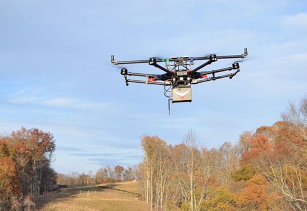
RedTail LiDAR Systems recently partnered with an award-winning engineering firm to demonstrate the RTL-400 LiDAR system’s high-resolution, high accuracy mapping capability.
Light detection and ranging (LiDAR) technology is increasingly being used in everything from iPhone 12 virtual reality apps to self-driving automobiles.
The technology, which provides 3D representations of areas, is increasingly being deployed on unmanned aerial vehicles for mapping purposes, including energy sector corridor monitoring (e.g., oil and gas, powerlines), construction planning and environmental restoration.
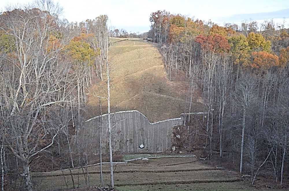
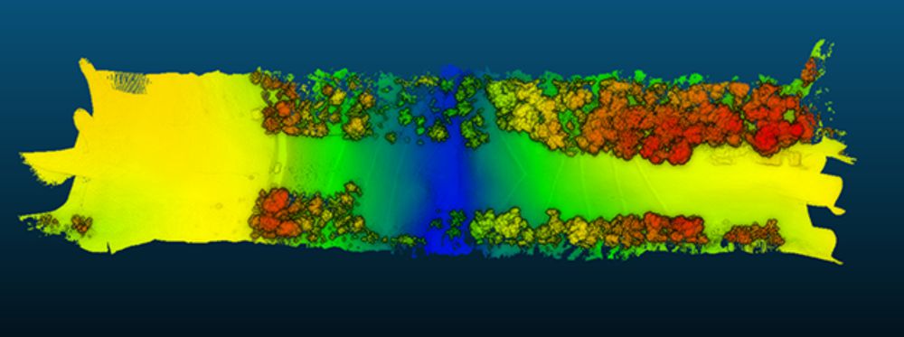
RedTail’s detailed LiDAR imagery was used to generate “as built” conditions of a steep ravine to aid in long-term monitoring of the slopes under which a natural gas pipeline was buried. A narrow road traversing the top of the ravine through which the pipeline was installed was of special concern since instability could potentially result in a long and likely deadly tumble of a vehicle to the bottom of the ravine. Loss of vegetation along the buried pipeline’s path makes the area especially susceptible to slides after heavy rainfall.
The RTL-400’s high-resolution point cloud data of the 13-acre ravine area was captured in 10 minutes, a task that would have taken surveyors several days to complete with far fewer reference points provided for analysis.
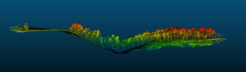
The “as built” digital elevation model (DEM) created from the LiDAR point cloud can be compared to future DEMs to determine if any changes have occurred in the slope’s topology, which would serve to identify hazards and provide input for slip mitigation.
RedTail LiDAR Systems is a division of 4D Tech Solutions, Inc., a company focused on providing innovative technology-based solutions to address government and commercial customer needs.
RedTail LiDAR Systems’ in-house technical expertise, coupled with a full suite of software and hardware design and manufacturing tools, allows us to develop custom LiDAR solutions for manned and unmanned vehicle applications.
4D Tech Solutions, Inc. is a US Service-Disabled Veteran-Owned, HUBZone-certified small business.