National Geographic MapMaker launched by Esri and National Geographic Society
By learning about mapping skills and geography, students, teachers, and others can gain a better understanding of how the world’s most crucial issues, challenges, and opportunities fit into the context of place.
In celebration of GIS Day and as part of Geography Awareness Week, Esri, the global leader in geographic information system (GIS) technology, and the National Geographic Society (NGS), the global nonprofit organization, have launched the reimagined National Geographic MapMaker.
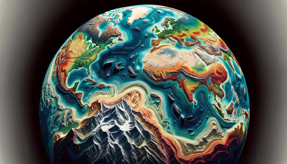
Developed in partnership with Esri, MapMaker is National Geographic’s online mapping tool that uses the latest in GIS software to connect classrooms and individuals with essential geographic information and technology for exploration and education. With this web-based 2D and 3D app, anyone can visually experience and interact with geospatial information about Earth’s interconnected social and physical systems while also exploring the art of mapmaking.
“We are honoured to continue our partnership with the National Geographic Society to bring MapMaker 4.0 to K–12 students around the world,” said Jack Dangermond, Esri president. “We believe that mapping is a powerful tool for learning, communication, and change, and we hope that MapMaker will inspire the next generation to better understand and care for our world.”
Updates to MapMaker 4.0 reach beyond the scope of a traditional map and provide users with interactive data on a variety of important topics that enrich learning and better illustrate how maps act as powerful devices that allow us to find our way, analyse and visualize complex datasets, solve problems, and tell stories.
“The [National Geographic] Society has a long history of supporting geographic education, and we are so excited to have our relationship with Esri work further to foster a sense of wonder and curiosity about the world through data-driven mapping technology,” said Deborah Grayson, chief education officer at the National Geographic Society. “National Geographic MapMaker is an engaging educational tool with the power to inspire the next generation of geographers, cartographers, and National Geographic Explorers that show how geography influences their lives and work every day, as well as how passion around the geographic approach can address challenges and drive real change around the world.”
The new MapMaker allows users to form patterns and relationships by layering maps; adding notes and sketches to maps; and saving images for use in papers, presentations, or other applications. These layers can be created to educate users; represent various biomes, populations, and environments; and view different geographic effects of climate change for innovative learning and exploring.
Students can also explore current and historical maps on topics like earth science (e.g., earthquakes, volcanoes, climate) or human geography (e.g., population characteristics, land cover, public health), and educators can view additional learning resources created by Esri and National Geographic Learning as well. MapMaker runs on online and mobile platforms and lightweight devices, and it is touch screen friendly for an easy experience for users at any age or level of familiarity with geography.