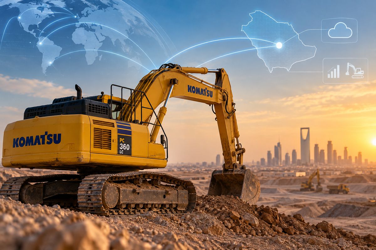
IGIC 2026 Tackles the Ground Beneath Saudi Arabia’s Mega Projects
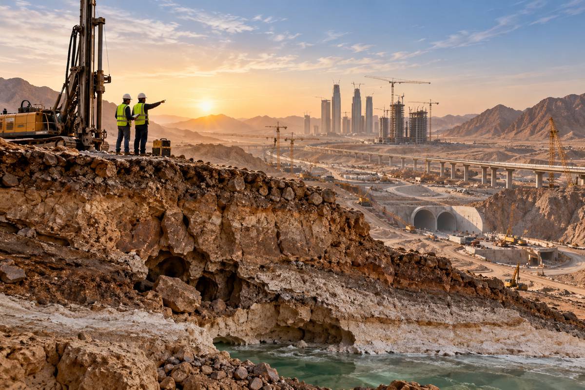
Saudi Arabia’s construction programme presents an engineering problem long before concrete is poured or structural steel arrives on site. Beneath new airports, transport corridors, urban developments, tunnels and industrial projects lie ground conditions ranging from hard and fractured rock to karst, sabkha soils, groundwater and geohazards, often encountered on projects being delivered at exceptional scale and speed.
Those conditions will provide the practical backdrop to the 3rd Annual International Geotechnical Innovation Conference (IGIC 2026), taking place at the Fairmont Riyadh on 14–15 October 2026. The event brings together project owners, geotechnical consultants, specialist contractors, researchers, equipment manufacturers and technology providers working across Saudi Arabia and the wider Middle East.
The conference arrives as geotechnical engineering assumes an increasingly visible role in the Kingdom’s development programme. Saudi Arabia is simultaneously building major transport and urban infrastructure, developing new destinations and expanding mining activity, placing considerable demands on site investigation, foundation engineering, tunnelling, slope stability, groundwater management and ground improvement.
IGIC’s programme reflects many of the engineering problems being encountered on major projects. Saudi-focused sessions will examine hard and fractured rock, karst terrain, sabkha and weak soils, groundwater, complex tunnelling environments and geohazards, alongside the growing use of digital monitoring and subsurface modelling.
Briefing
- IGIC 2026 takes place at the Fairmont Riyadh, Saudi Arabia, on 14–15 October 2026.
- The third annual conference will focus on geotechnical and ground-engineering challenges associated with infrastructure, urban development, mining and major projects across Saudi Arabia and MENA.
- Saudi-specific technical tracks include karst, sabkha soils, fractured rock, groundwater, geohazards and complex tunnelling conditions.
- A dedicated Mining Geotechnics Workshop has been added for 2026, extending the conference into mine ground control, slope stability, flooding, seismic and geochemical risks.
- Digital twins, AI, geo-mapping, remote sensing and real-time monitoring feature prominently in the 2026 technical programme.
Engineering Beneath the Construction Programme
Ground engineering rarely receives the public attention given to bridges, towers, airports or railways, yet the behaviour of the ground determines how many of those structures can be designed and built.
Saudi Arabia presents an unusually varied set of conditions. Karst can introduce cavities and unpredictable changes in rock mass behaviour, while sabkha deposits can combine weak bearing conditions with high salinity and groundwater complications. Hard and fractured rock brings a different collection of excavation, tunnelling and foundation problems. Large developments may encounter several of these conditions across the same project area.
IGIC 2026 is organised around that operational reality. Technical sessions cover ground improvement, deep foundations, tunnelling and underground construction, groundwater control, slope stability and geohazard management, with particular attention to conditions encountered across Saudi Arabia and the wider MENA region.
Scale and programme pressure complicate the engineering further. Site investigations have to characterise the ground sufficiently well for design and construction decisions, while unexpected conditions discovered later can alter excavation methods, foundation selection, dewatering requirements, quantities and plant deployment. By that stage, programme commitments may already have narrowed the available engineering options.
Digital Geotechnics Moves onto Site
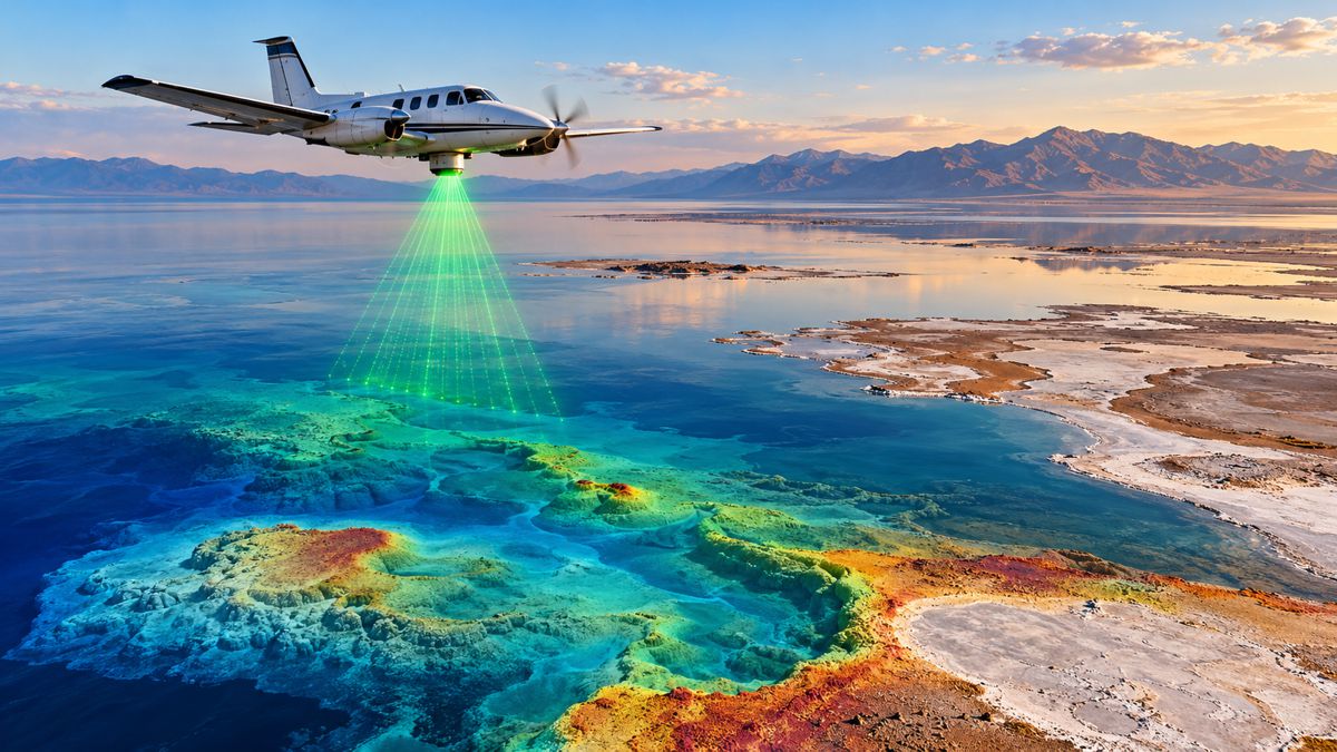
Traditional boreholes, laboratory testing and engineering judgement remain fundamental to geotechnical investigation, but they are increasingly being supplemented by LiDAR, drones, remote sensing, digital geological models, instrumentation and continuous monitoring. IGIC 2026 will examine these technologies alongside artificial intelligence, digital twins and geo-mapping.
Their usefulness becomes particularly apparent on large and geographically complex projects. A borehole provides detailed information at a specific location; engineers still have to determine what happens between investigation points and how those conditions change as excavation progresses. Remote sensing and digital mapping can extend the spatial picture, while instrumentation allows expected ground and structural behaviour to be compared with what is actually happening on site.
The resulting models can evolve as new information becomes available. Conditions exposed during excavation can refine the geological interpretation, while monitoring can identify movement, groundwater changes or other departures from predicted behaviour early enough for engineers to respond.
None of this removes geological uncertainty. Ground remains inherently variable, and sophisticated software is only as useful as the observations, measurements and assumptions behind it. Digital geotechnics is at its strongest when it adds to physical investigation rather than attempting to substitute for it.
Mining Adds a Different Ground-Engineering Challenge
The introduction of a dedicated Mining Geotechnics Workshop expands the conference into a field becoming increasingly relevant to Saudi Arabia as the Kingdom develops mining under Vision 2030.
Mining changes the geotechnical emphasis considerably. Instead of designing ground primarily to support a permanent structure, engineers may be managing a rock mass that is continuously being excavated and altered. Open-pit slope stability, underground excavation, ground control, tailings facilities, seismic behaviour, flooding and geochemical conditions introduce risks that develop throughout the operating life of a mine.
Monitoring consequently becomes part of day-to-day operations. Movement in a pit wall, changes in groundwater or deterioration in an underground excavation can require decisions while mining continues around them, making geological modelling, instrumentation and rock mechanics closely connected with production and safety.
IGIC’s workshop will address these areas alongside the technologies increasingly used to understand them. There is considerable crossover with expertise developed for major civil engineering projects, particularly in geological modelling, remote sensing, instrumentation, underground construction and the behaviour of fractured rock.
Saudi Arabia’s expansion of geological surveying, exploration and mineral development is creating a larger operating environment for that expertise. The engineering requirement extends well beyond extracting material from the ground to understanding how the ground itself will behave as extraction progresses.
Connecting Research with Construction
IGIC retains a strong academic component alongside its project, consultant and contractor participation. The 2026 speaker faculty includes Prof. Dr. Lyesse Laloui of the Swiss Federal Institute of Technology Lausanne (EPFL), whose work spans soil mechanics, geomechanics and sustainable geotechnical engineering.
His research has included thermo-active foundations and bio-mediated approaches to modifying soil properties, areas that extend geotechnical research beyond conventional questions of bearing capacity and settlement. The wider conference programme draws specialists from consulting engineering, research institutions and professional organisations, while accepted technical papers are due to be published through the Journal of Geotechnical Innovation.
The test for emerging techniques is how they perform under actual project conditions. Laboratory results and modelling methods eventually have to contend with excavation sequences, available machinery, groundwater, construction tolerances, programme constraints and geology that rarely behaves as neatly as a model suggests. Saudi Arabia’s current programme of infrastructure, urban development and mining provides demanding conditions in which to make that transition.
Ground Risk Becomes Project Risk
Geotechnical engineering has always dealt with uncertainty. The scale of development in Saudi Arabia means large numbers of construction, mining and infrastructure projects are exposed to that uncertainty simultaneously.
Difficult foundations can be redesigned, unexpected groundwater controlled, weak ground improved and unstable slopes stabilised. The engineering methods are established, but the available choices diminish when conditions are identified late or information remains fragmented between designers, contractors and project owners.
This is where the growing emphasis on investigation, monitoring and digital ground models becomes practical. Better information earlier in a project leaves engineers more freedom to select foundations, excavation methods, dewatering systems and construction sequences before equipment is mobilised and programmes become difficult to change.
IGIC 2026 places those questions within the context of projects currently being designed and built across the region. Its move into mining geotechnics broadens the technical discussion, while Saudi-specific sessions recognise that international engineering experience still has to be reconciled with local geology.
For a country constructing above ground at extraordinary scale, understanding what lies below it is becoming an increasingly substantial engineering undertaking.
Key Industry Questions
- When and where is IGIC 2026? The 3rd Annual International Geotechnical Innovation Conference takes place on 14–15 October 2026 at the Fairmont Riyadh in Saudi Arabia.
- What does IGIC 2026 cover? The programme covers geotechnical and ground engineering for infrastructure, urban development, tunnelling, major construction and mining, including foundations, ground improvement, groundwater, geohazards, rock engineering and digital monitoring.
- What are sabkha soils? Sabkha soils are saline deposits commonly associated with arid coastal and inland environments. Their composition and interaction with groundwater can create difficult conditions for foundations, earthworks and buried infrastructure.
- Why is karst important to construction? Karstic ground can contain cavities, voids and highly variable rock conditions created by dissolution. Detecting and characterising these features is important because their presence can affect foundations, tunnelling, excavation and groundwater behaviour.
- How is digital technology changing geotechnical engineering? LiDAR, remote sensing, drones, instrumentation, digital models and real-time monitoring allow engineers to combine conventional ground investigation with much larger quantities of spatial and operational information. They can improve understanding of how ground conditions vary and change during construction.
- Why has IGIC added mining geotechnics? Saudi Arabia is expanding mining as part of its economic diversification strategy. Mining creates specialist ground-engineering requirements including open-pit slope stability, underground ground control, tailings management, flooding and seismic risk.
- Can digital modelling remove geotechnical uncertainty? No. Geological conditions are inherently variable and models depend on the quality of the underlying information. Their value lies in improving understanding and allowing engineering decisions to be updated as additional evidence becomes available.
Strategic Takeaways
- Saudi Arabia’s construction programme is creating demand for detailed understanding of difficult and highly variable ground conditions.
- Ground conditions identified early leave project teams more options for foundations, excavation, dewatering and construction sequencing.
- Continuous monitoring allows geotechnical information to remain useful during construction rather than ending with investigation and design.
- Mining creates an additional market for rock mechanics, monitoring, geological modelling and specialist ground-engineering expertise.
- Digital tools are most useful when they strengthen the engineering picture built from physical investigation and monitoring rather than attempting to replace it.