Tracking Infrastructure Stability From Space
Bridges, dams, and tunnels rarely fail without warning. They move first, often by fractions of an inch, long before a crack becomes visible to an inspector on foot. Satellite radar now makes that early movement measurable across entire assets and corridors, without sending crews into the field.
Here’s how the technology works, which assets it suits, and what asset owners should know before starting a program.
How Do Satellites Measure Infrastructure Movement?
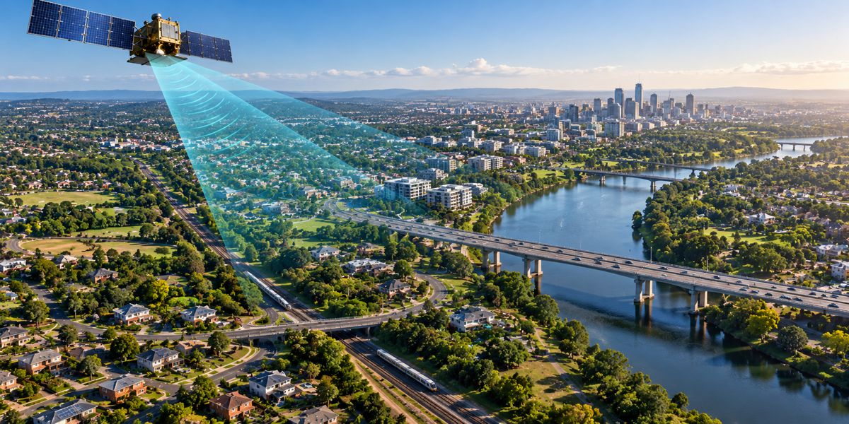
Satellites measure movement by comparing radar images of the same location captured at different times. Each radar pass records the distance between the sensor and the ground surface, so a change in that distance between 2 passes reveals that something has shifted. Because the comparison is mathematical rather than visual, the method detects change far smaller than any camera could resolve.
Measuring that change consistently is where most inspection programs fall short, since manual surveys only capture the days a crew is on site. Providers like Sixense run continuous INSAR monitoring programs that build a movement record across a whole asset from repeat satellite passes. For owners, that record turns a routine question about whether something is moving into a documented answer with a date attached.
What Is InSAR and How Does Radar Interferometry Work?
InSAR stands for Interferometric Synthetic Aperture Radar. The technique overlays radar images from repeat satellite passes and measures the phase difference in the returning signal, which translates directly into vertical and horizontal displacement. Since radar penetrates cloud cover and works at night, measurements continue year-round regardless of weather or daylight.
What Level of Precision Can Satellite Radar Reach?
Satellite InSAR monitoring resolves movement at the millimetre scale on stable reflective surfaces such as concrete decks, rooftops, and rock faces. Precision depends on the density of those reflectors, the satellite revisit interval, and the length of the observation period. Longer time series produce more reliable trend lines, which is why archives matter as much as new acquisitions.
Precision only creates value when it is applied to the right assets.
Which Infrastructure Assets Benefit Most From Satellite Monitoring?
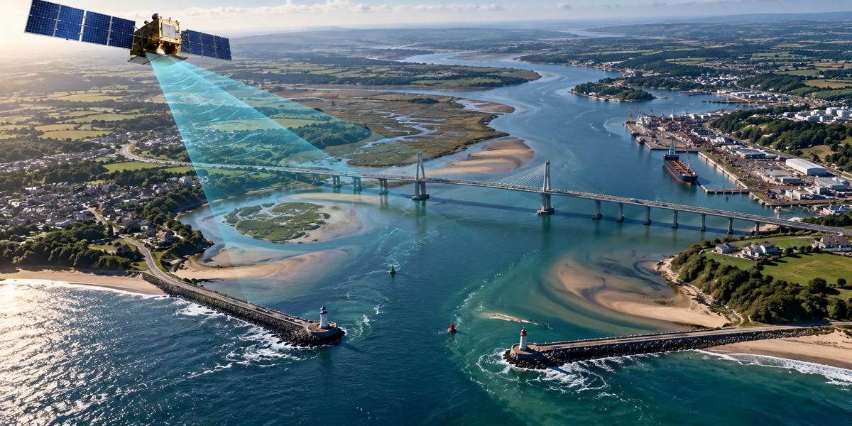
Satellite monitoring suits assets that are large, distributed, or difficult to reach with conventional instruments. The wider the footprint, the greater the advantage over point-based sensors alone.
Bridges, Highways, and Rail Corridors
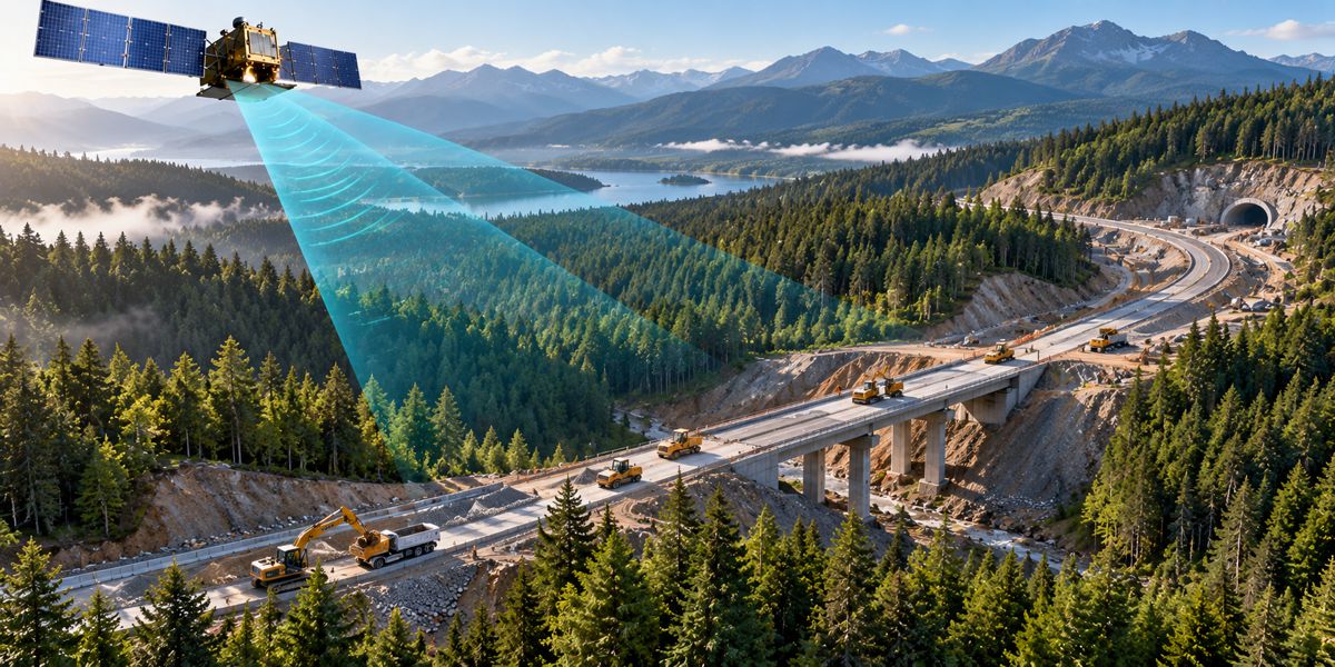
Linear assets stretch across many soil types, and each segment can settle at its own rate. Radar covers the full alignment in one pass, so engineers see which approach embankment or abutment is moving relative to the rest. That comparison is difficult to reproduce with sensors installed only at selected locations.
Dams, Embankments, and Retaining Structures
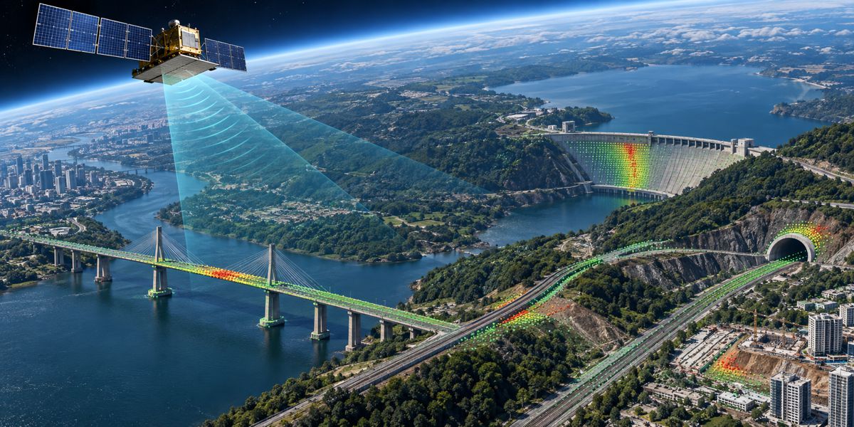
Slope stability and settlement of embankments and dams depend on how the surrounding ground behaves, not just the structure itself. Satellite measurements extend across the crest, the downstream face, and the adjacent slopes at the same time. Owners can then confirm whether observed movement is local or part of a broader pattern.
Tunnels, Pipelines, and Urban Excavation Zones
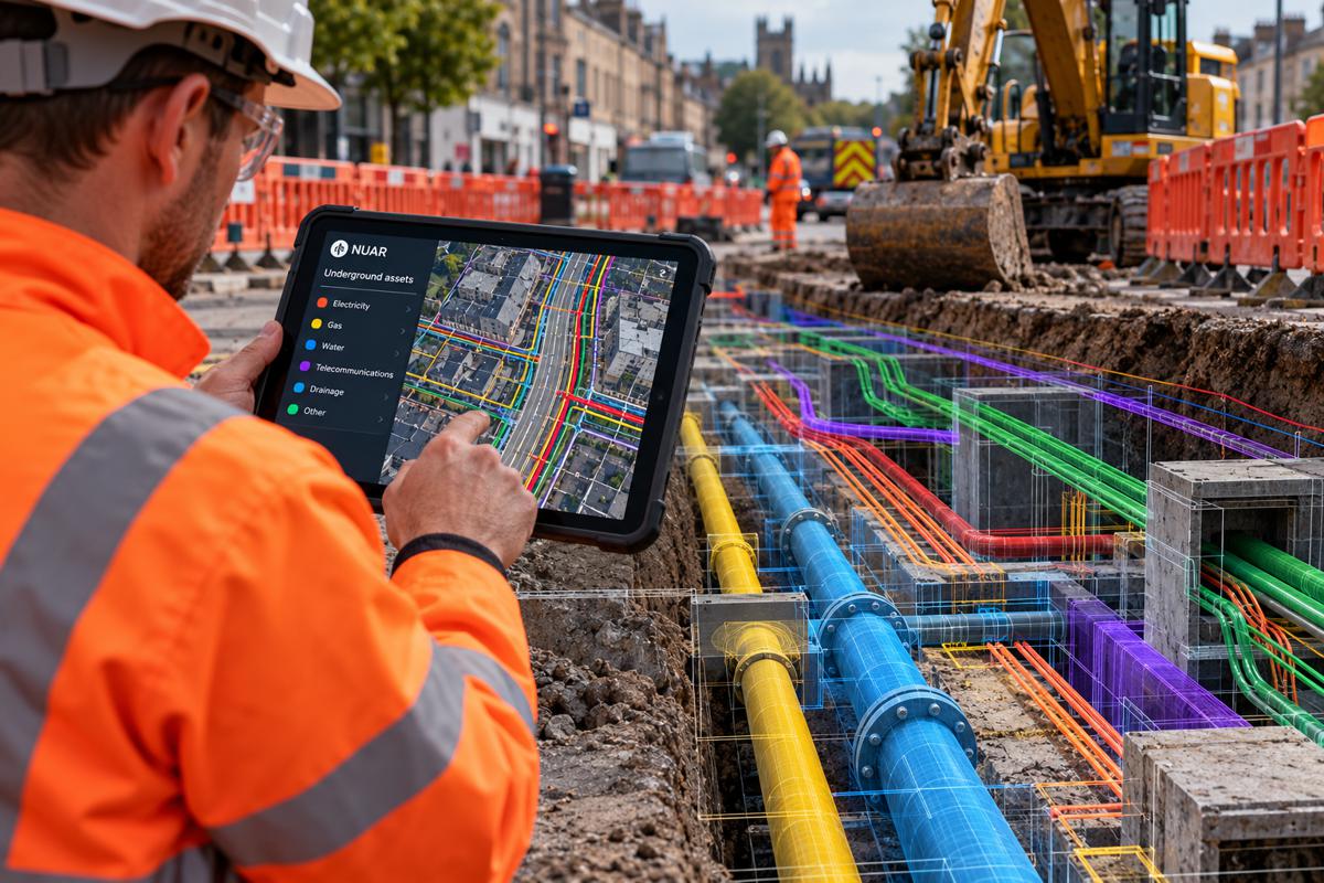
Underground work redistributes stress and can pull the surface down above and around the alignment. Radar maps that settlement footprint block by block, including on buildings that were never instrumented. For contractors, that record also documents conditions before, during, and after construction.
Coverage across these assets explains why radar has become a standard complement to field programs.
Why Does Satellite Monitoring Complement Periodic Field Surveys?
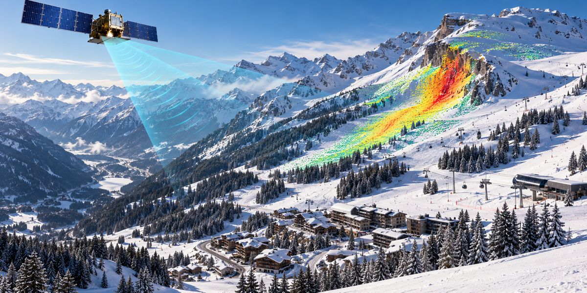
Field surveys deliver precise readings at chosen points on chosen days. Satellite monitoring adds continuity and breadth between those visits, so the 2 methods answer different questions about the same site.
How Does Wide-Area Coverage Change Risk Detection?
Wide-area coverage removes the assumption that instrumented points represent the whole asset. When every reflective surface in the scene becomes a measurement point, movement shows up in places nobody thought to instrument. Teams can then target field investigation where the data points them, instead of spreading effort evenly.
What Can Historical Radar Archives Reveal About a Site?
Radar archives hold years of imagery over most developed regions, which means a site can be analyzed retroactively. Engineers use that history to separate long-standing seasonal movement from a new trend that started with construction nearby. On disputed claims, an archive-based baseline is often the only independent evidence available.
Data breadth is useful only once it feeds a decision process.
How Do Engineers Turn Radar Data Into Maintenance Decisions?
Engineers convert radar measurements into displacement time series, then compare each series against project tolerances. The output is a ranked picture of which asset segments need attention and which are stable.
What Do Displacement Trends and Alert Thresholds Show?
A displacement trend shows direction, rate, and acceleration over time, which matters more than any single reading. Alert thresholds are set per asset, and the system flags a measurement once it exceeds the agreed tolerance. Acceleration in a trend line usually triggers investigation well before an absolute limit is reached.
How Does Satellite Data Combine With Ground Instrumentation?
Satellite data frames the problem, and ground instruments quantify it in detail. Automated total stations, inclinometers, and settlement sensors then focus on the zones radar identified as active, with readings at much higher frequency. Combining both scales gives owners regional context and local certainty in the same monitoring program.
Adopting that combined approach starts with a few practical checks.

What Should Asset Owners Check Before Starting a Satellite Monitoring Program?
Not every site produces good radar results, and confirming suitability early avoids wasted budget. 2 factors carry most of the weight: surface conditions and validation strategy.
Which Sites Are Best Suited to Radar Measurement?
Sites with hard, stable, reflective surfaces return the strongest radar signal. Dense vegetation, water, snow cover, and steep slopes facing away from the satellite reduce the number of usable measurement points. A feasibility review over the archive tells owners what coverage to expect before any contract is signed.
How Are Satellite Results Validated On the Ground?
Validation compares satellite measurements against known reference points measured by survey or in-ground sensors. Agreement between the 2 datasets builds confidence in the radar results and calibrates interpretation for the site. Where they diverge, the discrepancy itself often points to a local factor worth investigating.
What Satellite Monitoring Means for Long-Term Infrastructure Stability
Aging infrastructure is being asked to carry more load for longer, and inspection budgets rarely grow at the same pace. Satellite radar shifts monitoring from occasional snapshots to a continuous record that covers whole assets and their surroundings.
Owners who build that record now will have years of movement history the next time a structure raises questions.
Frequently Asked Questions About Satellite InSAR Monitoring
- How Accurate Is Satellite InSAR Monitoring? On stable reflective surfaces, InSAR resolves movement at the millimetre scale. Accuracy improves with longer observation periods and denser measurement points. Site conditions, satellite geometry, and revisit frequency all influence the final precision.
- Can InSAR Monitor Movement On a Single Bridge or Building? Yes, provided the structure offers enough reflective surfaces to return a usable radar signal. Concrete decks, parapets, and rooftops typically qualify. For structures with poor reflectivity, ground instruments remain the primary measurement source.
- How Often Are Satellite Measurements Updated? Update frequency follows the satellite revisit cycle, which is commonly a matter of days for current radar missions. Combining constellations shortens the interval between usable measurements. For faster reaction times, satellite data is paired with automated ground sensors.
- Does Satellite Monitoring Replace Ground Instruments? No. Satellite monitoring covers wide areas and long histories, while ground instruments deliver high-frequency readings at critical points. Most infrastructure programs use both, with radar guiding where instruments should be concentrated.