Geospatial Accord Takes Surveying Standards to Government and Industry
The information beneath a major infrastructure project often begins with work that is barely visible once construction starts. Surveyors establish the position of boundaries, structures, utilities, terrain and existing assets, creating the spatial evidence on which designers, engineers and contractors subsequently depend.
The Geospatial Survey Association (GSA) argues that the way this work is commissioned has not kept pace with its importance. Following a stakeholder meeting involving more than 100 representatives from surveying, construction, infrastructure, government, education and technology, the association is taking that argument beyond the profession through a new initiative called the Geospatial Accord.
Its target is not a particular surveying technology or technical specification. It is the commercial environment surrounding the profession: inconsistent standards, late appointment of geospatial specialists, skills shortages and procurement processes that can reduce technically different services to a comparison of price.
Infrastructure is becoming increasingly dependent on accurate digital representations of the physical world, while some of the work establishing those representations can still be treated as a relatively interchangeable preliminary service.
Briefing
- The Geospatial Accord is being developed as a collective initiative rather than a new regulator or professional body.
- More than 100 representatives from surveying, construction, infrastructure, government, education and technology participated in the stakeholder event that preceded the initiative.
- Its priorities include stronger standards, better-informed procurement, earlier professional involvement and greater recognition of qualified geospatial specialists.
- The campaign sits alongside existing measures including PAS 128:2022, the National Underground Asset Register and GSA’s PUMA accreditation scheme.
- UK government geospatial policy already identifies data quality, standards, skills and wider adoption of geospatial information as strategic priorities.
The Cost of Buying on Price
The problem identified by the GSA is familiar well beyond surveying. Professional services can become commoditised when procurement specifications fail to distinguish adequately between levels of competence, methodology, accuracy and deliverable quality.
With geospatial surveying, those differences can propagate through a project. Survey information may feed feasibility work, detailed design, BIM environments, digital twins, construction setting-out and eventually asset management. Weak or incomplete spatial information can introduce uncertainty into planning, design and construction, particularly where clients do not have a clear mechanism for judging what they are purchasing.
Utility mapping provides a particularly tangible example.
PAS 128:2022 specifies requirements for detecting, verifying and locating underground utilities and provides a framework for expressing the quality and confidence of survey information. The standard accommodates different survey approaches because projects do not require identical levels of investigation at every stage.
A feasibility study and a construction operation preparing to break ground may require substantially different levels of confidence in buried utility information. Paying for unnecessary investigation can waste money, but commissioning inadequate investigation because it produces the lowest initial quotation can simply transfer cost and risk downstream.
GSA has already attempted to address part of this problem through PUMA, its PAS128 Utility Mapping Accreditation scheme. Companies participating in the scheme are independently audited against their ability to deliver PAS 128 work, providing clients with evidence of capability rather than relying solely on a supplier’s assertion of compliance.
The Accord takes the argument further, from one specialist area of surveying into the wider relationship between geospatial professionals and those procuring their services.
Geospatial Information Moves Upstream
The timing is significant because geospatial information is becoming embedded more deeply in infrastructure systems.
The UK Geospatial Strategy 2030 identifies greater use of geospatial applications across infrastructure, land use and the public sector as a national objective. The Geospatial Commission’s current charter also gives it responsibility for improving the accessibility, interoperability and quality of data while developing skills and resources across the geospatial economy.
The National Underground Asset Register offers a practical demonstration. Following legislation introduced through the Data (Use and Access) Act 2025, the New Roads and Street Works Act now provides the statutory basis for NUAR in England and Wales, creating a national register for information about apparatus beneath streets.
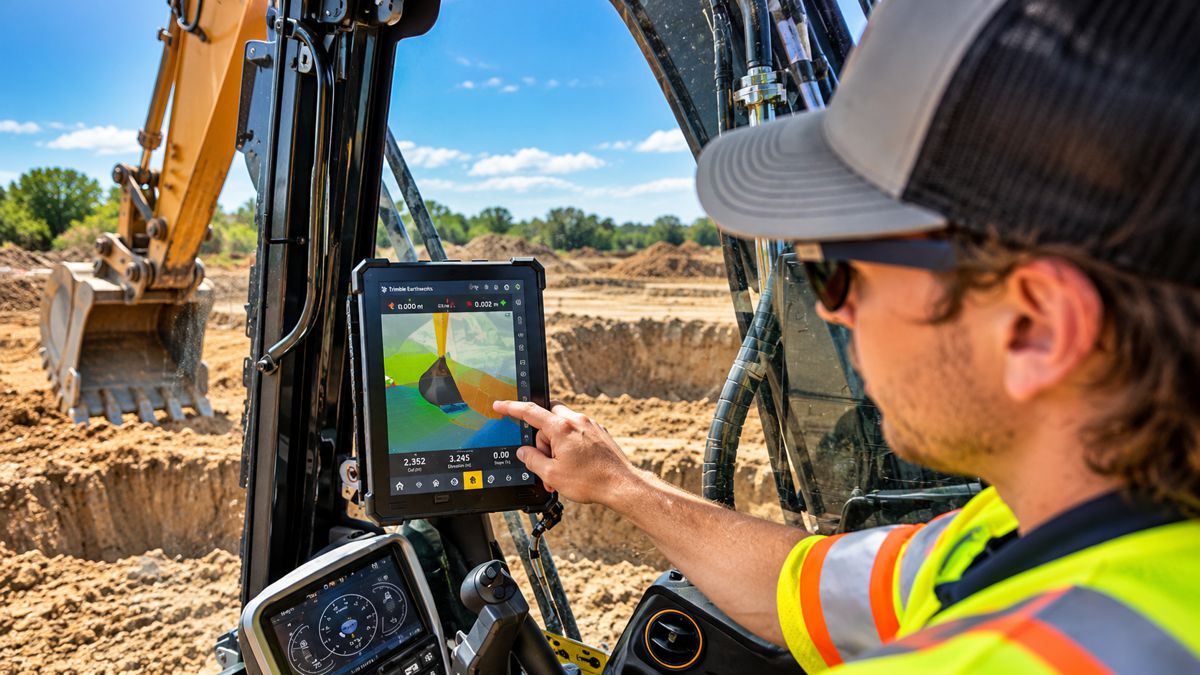
Systems of this kind make reliable geospatial information more useful, but they do not eliminate the need to establish its quality. Digital twins, BIM platforms, machine control systems and increasingly automated construction workflows can process spatial information at enormous speed. They cannot independently correct an incorrectly located utility, an incomplete site survey or a dataset whose accuracy is unsuitable for the decision being made.
Earlier Involvement
One of the Accord’s central objectives is to move geospatial expertise further towards the beginning of projects.
GSA’s position is that surveyors are still sometimes appointed after important decisions have already been taken. The organisation wants geospatial expertise considered during project definition and procurement rather than treated principally as a service required once design teams need measurements.
There is a practical argument behind that position. The earlier a project understands the physical conditions of its site and existing assets, the greater the opportunity to incorporate those conditions into design decisions rather than discovering discrepancies during construction.
That does not mean every project requires the most sophisticated survey available. Good procurement works in both directions. The objective is information appropriate to the decision being made, with its accuracy, methodology and limitations understood by the people relying upon it.
PAS 128 demonstrates the principle particularly well because its hierarchy allows different survey types and methodologies to be applied according to the stage and requirements of a project. GSA’s own client guidance warns against both extremes: commissioning unnecessarily intensive investigation during early feasibility and proceeding with major design decisions using insufficient utility information.
The more useful procurement question is therefore not simply how cheaply a survey can be completed, but what information the project actually needs and what level of confidence must accompany it.
The Skills Behind the Data
The second problem is people.
GSA says the profession faces a skills shortage and wants the Accord to bring employers, educators, professional organisations and government into a more coordinated effort to strengthen the future workforce.
There is independent evidence for a broader geospatial skills challenge. Research commissioned by the Geospatial Commission found demand spreading beyond traditional surveying and GIS occupations into civil engineering, programming, robotics and other data-intensive activities. Although the research covered 2014 to 2019 rather than today’s labour market, it showed how widely geospatial capability was already spreading across the economy.
Technology is changing the skill mix rather than removing the underlying requirement for expertise. LiDAR, UAV photogrammetry, GNSS, mobile mapping, ground-penetrating radar, automated feature extraction and cloud-based spatial platforms can collect and process extraordinary quantities of information. Professional judgement remains necessary to determine what should be captured, how accurately it needs to be captured and whether the resulting information is suitable for its intended purpose.
Building Collective Weight
The Geospatial Accord is being positioned as a coalition rather than another institution. Organisations are being invited to contribute expertise, evidence, advocacy, networks and financial support, while GSA has established a taskforce and says policy engagement and government lobbying are already under way.
Its government briefing connects surveying with infrastructure, housing, planning, transport, utilities, environmental resilience, digital twins and productivity. The broader objective is to turn concerns discussed within the profession for years into changes in how clients, procurement teams, government and educators approach geospatial capability.
Rachel Tyrrell, CEO of the Geospatial Survey Association, said: “Acting alone, one organisation cannot change procurement behaviour, and one body cannot solve the skills shortage or raise standards across an entire profession. Collectively, however, we have a much stronger voice, and one that government, clients and the wider built environment will find much harder to ignore.”
The challenge for the Accord will be converting that collective voice into changes that clients can actually procure against. Standards already exist in important areas, accreditation can demonstrate capability and government policy recognises the economic importance of geospatial information. The harder task is connecting those pieces to routine project decisions: when surveyors are appointed, what clients specify, how competence is assessed and how bids are evaluated.
Information Before Infrastructure
The campaign will also use the platform “If Geospatial Surveyors Stopped Tomorrow…” to illustrate the profession’s largely hidden position within the built environment.
Rachel Tyrrell puts the underlying argument more directly: “If you want better decisions, better risk management and better construction outcomes, the quality of the information at the beginning matters. And if we want the expertise to deliver that information in ten or twenty years’ time, we have to tackle the skills challenge now.”
The increasingly digital character of infrastructure makes that dependency stronger rather than weaker. A sophisticated model built from uncertain source information remains uncertain. An automated machine following inaccurate spatial data simply executes the error more efficiently. A digital twin cannot be more trustworthy than the information used to establish its relationship with the physical asset.
For the Geospatial Accord, changing perceptions may therefore be less important than changing procurement. If clients become better at specifying the information they require, understanding the confidence attached to it and evaluating the competence required to produce it, the profession’s value becomes considerably easier to demonstrate.
The argument then stops being about recognition for surveyors and becomes something much more familiar to infrastructure owners: managing uncertainty before it becomes construction risk.

Key Industry Questions
- What is the Geospatial Accord? It is a GSA-led collective initiative intended to improve standards, procurement, professional recognition, early project involvement and skills development across UK geospatial surveying. It is not a new regulator or professional body.
- Why does geospatial surveying matter to infrastructure projects? Survey information establishes physical conditions that can subsequently inform feasibility, design, BIM, construction, utility management and asset operation.
- What procurement problem is the Accord addressing? GSA argues that geospatial services can be commissioned too late or evaluated too heavily on price, without sufficient distinction between competence, methodology and information quality.
- What is PAS 128:2022? It is the current British specification covering the detection, verification and location of underground utilities, including requirements concerning data accuracy, quality and confidence.
- What is PUMA? PUMA is GSA’s PAS128 Utility Mapping Accreditation scheme. Participating companies are independently assessed to demonstrate their ability to undertake surveys in accordance with PAS 128.
- How does NUAR relate to geospatial surveying? The National Underground Asset Register brings information about buried apparatus into a national framework. Its usefulness still depends upon the quality and suitability of the underlying asset information.
- Does better surveying always mean more surveying? No. The appropriate level of investigation depends on the project stage, required accuracy, risk and intended use of the information.
- Why involve surveyors earlier? Earlier involvement can allow spatial constraints and uncertainties to be understood before they become embedded in design or encountered during construction.
Strategic Takeaways
- Procurement specifications need to distinguish information quality and professional capability rather than treating geospatial surveying as an interchangeable commodity.
- Greater automation increases the importance of trustworthy source data because digital systems can propagate spatial errors rapidly.
- Standards such as PAS 128 provide a framework, but standards only improve projects when clients specify and procure them appropriately.
- Accreditation can give clients an additional mechanism for assessing capability where technical services are difficult to compare from price alone.
- Skills development and procurement reform are connected: maintaining professional capability becomes harder if the market consistently undervalues the expertise required to produce reliable information.